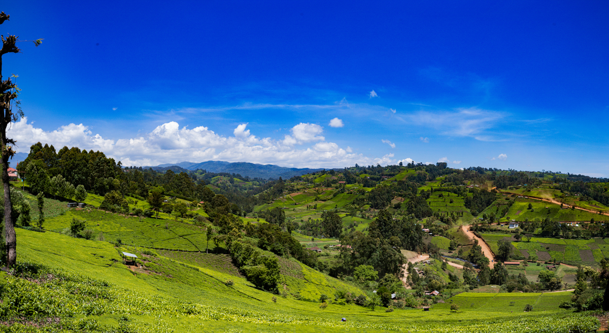
Murang’a County, Kenya: Tea Plantations, Gikuyu Heritage, History and the Landscapes of Central Kenya
A Kenyan Travel Documentary Story | Antony Trivet Photography
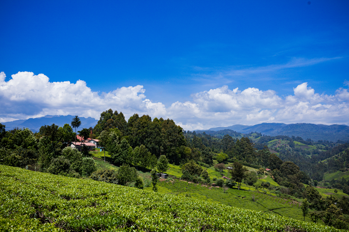
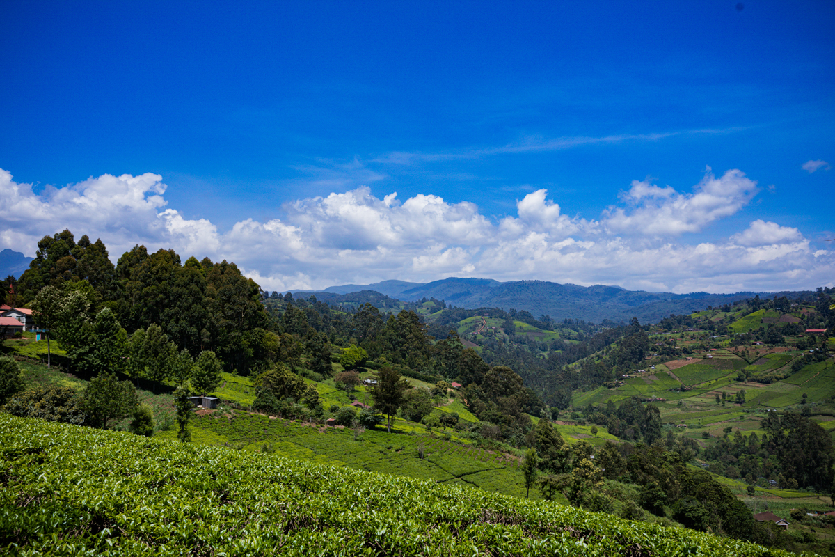
Murang’a County is one of Kenya’s historically significant agricultural and cultural regions. Located in central Kenya, along the eastern slopes of the Aberdare Range, it is known for its tea-growing highlands, rural farming communities, Gikuyu cultural heritage and a history shaped by both precolonial traditions and British colonial administration.
Formerly known as Fort Hall during the colonial period, Murang’a is County Number 21 of Kenya’s 47 counties. Its headquarters is Murang’a town.
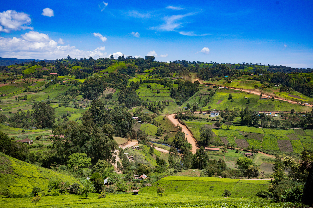
Although tea plantations are among the county’s most recognisable landscapes, Murang’a is considerably more diverse than its reputation as a tea-growing destination suggests. Its geography includes cool, wet highlands, forested areas, densely settled agricultural communities and warmer, relatively dry lowlands where different crops and farming systems prevail.
Understanding Murang’a means looking beyond its green hills. It means understanding the people who cultivate the land, the agricultural economy that sustains households, the historical events that shaped the region and the cultural traditions that remain important to its identity.
Where is Murang’a County?
Murang’a County is situated in the central region of Kenya, east of the Aberdare Range and within the wider Mount Kenya highlands region.
It covers approximately 2,558.8 square kilometres and borders Nyeri County to the north, Kiambu County to the south, Nyandarua County to the west, and Kirinyaga, Embu and Machakos counties to the east.
The county is administratively divided into nine sub-counties, seven constituencies and 35 wards.
According to the 2019 Kenya Population and Housing Census, Murang’a recorded a population of 1,053,059 people in the Kenya National Bureau of Statistics county-subcounty population table.
This is a historical census figure, not a current population count. County planning documents have also reproduced a slightly different 2019 population total of 1,056,640, so the original KNBS census table is the appropriate reference when reporting the enumerated figure.
Murang’a’s geographical position has a significant influence on its climate, vegetation, settlement patterns and agricultural activities.
The landscapes and climate of Murang’a
Murang’a is not a geographically uniform county.
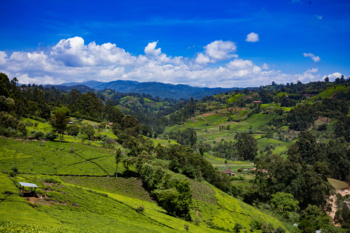
Its western and higher-elevation areas are influenced by the Aberdare mountain ecosystem. These areas generally experience cooler temperatures and higher rainfall, creating favourable conditions for tea cultivation and other highland agricultural activities.
Moving eastwards, the landscape changes. Temperatures generally increase, rainfall becomes less reliable in some areas and agricultural activities adapt to different environmental conditions.
The county’s elevation ranges from approximately 914 metres to 3,353 metres above sea level, according to county planning information.
This variation helps explain why tea plantations dominate certain landscapes while coffee, pineapple, horticulture and other crops are more prominent in different parts of the county.
The Aberdare ecosystem is also important for water resources, forest cover and biodiversity. Rivers originating in the highlands contribute to water systems serving communities and agricultural areas downstream.
The green appearance of Murang’a should therefore not be interpreted as evidence that the entire county receives the same rainfall or experiences the same climatic conditions.
Murang’a and the history of Fort Hall
Murang’a town was historically known as Fort Hall during British colonial administration.
The name is associated with Francis Hall, a British colonial administrator who established a colonial station in the area in 1900.
The settlement developed around a colonial administrative establishment built on the Mbiri hills. The station became an important centre for extending British administration into the Mount Kenya region.
This history is important because colonial occupation was not simply the establishment of administrative buildings and trading centres. It involved the expansion of foreign political control, the restructuring of local authority and resistance from African communities.
Historical accounts document opposition to the establishment and expansion of colonial administration in the region.
The former Fort Hall administrative structures remain part of Murang’a’s historical landscape. The National Museums of Kenya has identified the preservation of colonial-era structures as an important part of documenting this history.
After Kenya attained independence in 1963, the district became known as Murang’a.
Today, the name Fort Hall remains an important historical reference, particularly when discussing the colonial development of Murang’a town.
It is important to distinguish the colonial name from the much older cultural and geographical identity of the surrounding region.
Murang’a and Gikuyu cultural heritage
Murang’a occupies an important position in the cultural history of the Agikuyu community.
The Agikuyu are Kenya’s largest ethnic community, and Murang’a is closely associated with their ancestral traditions and historical identity.
One of the most significant cultural locations in the county is Mukurwe wa Nyagathanga, situated in Gaturi Ward, within Kiharu Constituency.
The site is traditionally associated with Gikuyu and Mumbi, the ancestral figures in Agikuyu origin traditions.
According to the traditional account, Ngai created Gikuyu and Mumbi and established their connection to the land around Mount Kenya. Their homestead is associated with Mukurwe wa Nyagathanga.
The tradition also recounts that their nine daughters became the ancestors of the nine major Gikuyu clans.
These accounts are important to understanding Agikuyu cultural identity, ancestry and traditional relationships with land.
However, an important distinction must be made: Mukurwe wa Nyagathanga is a culturally significant ancestral site, but the traditional account should not be represented as scientifically established proof that every modern Gikuyu person’s ancestry can be traced to one precisely documented geographical settlement.
The site is valuable as a place of cultural memory, oral history and heritage.
For visitors, it offers an opportunity to learn about the traditions that have shaped one of Kenya’s major communities.
Tea farming: Understanding Murang’a’s most recognisable agricultural landscape
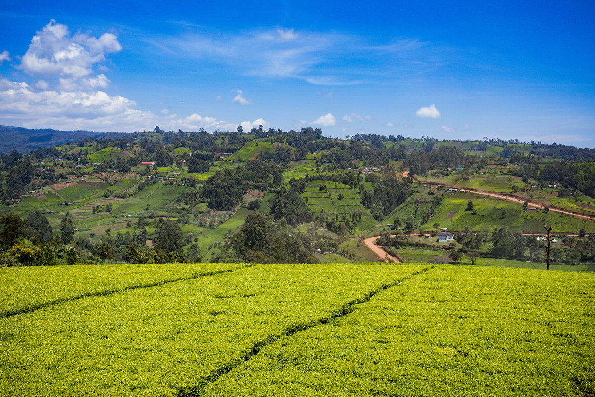
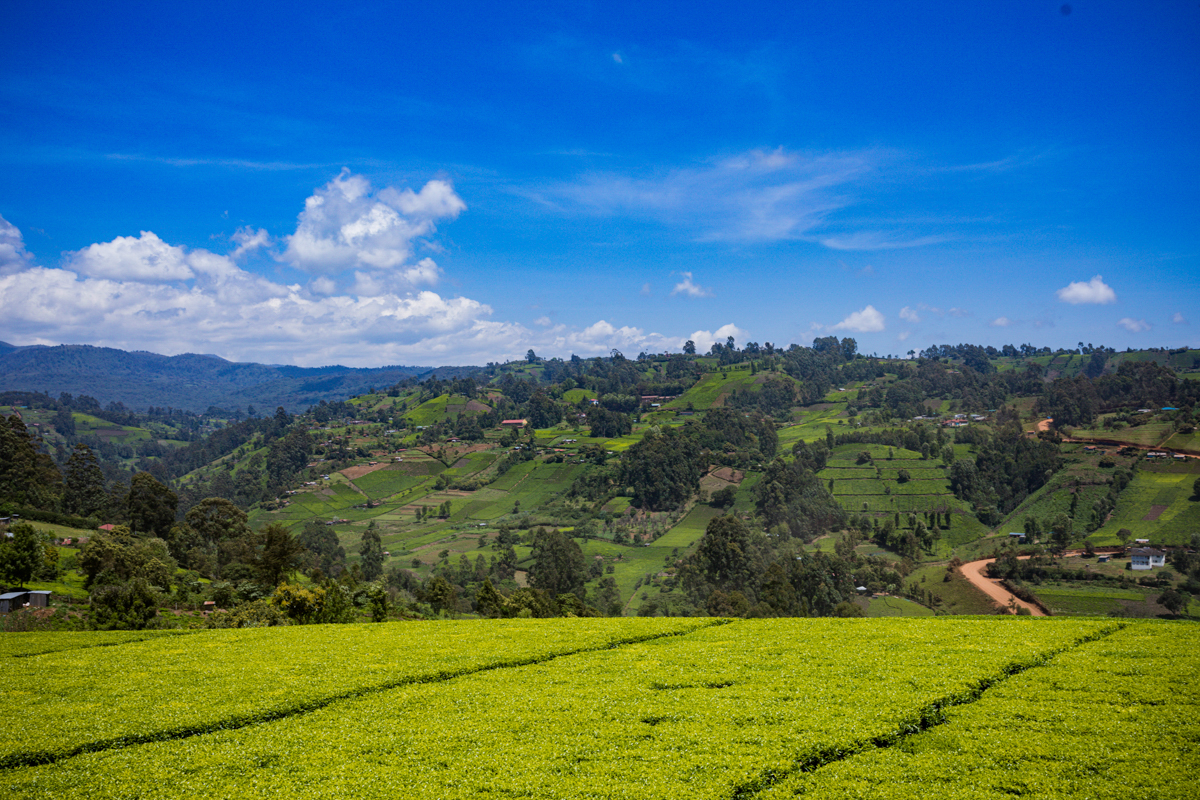
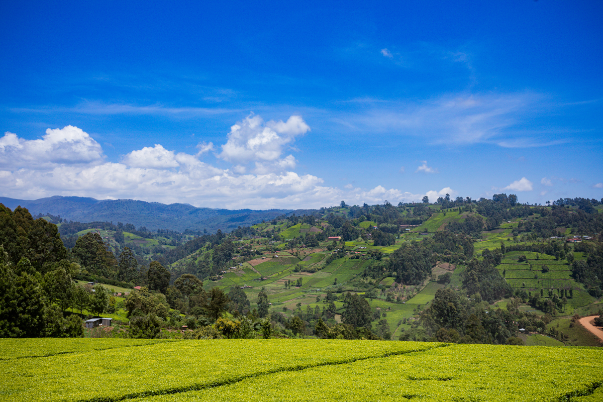
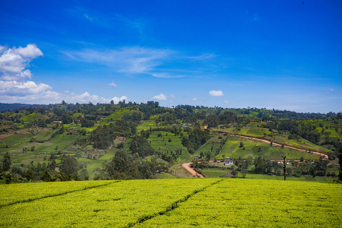
Tea is one of the important agricultural industries in Murang’a, particularly in its cooler and wetter highland areas.
The county’s tea landscape is made up of smallholder farms, collection centres, processing facilities and the communities whose livelihoods depend partly or entirely on tea production.
Murang’a has ten KTDA-associated tea factories:
- Kiru Tea Factory
- Kanyenyaini Tea Factory
- Gatunguru Tea Factory
- Githambo Tea Factory
- Nduti Tea Factory
- Makomboki Tea Factory
- Gacharage Tea Factory
- Ikumbi Tea Factory
- Ngere Tea Factory
- Njunu Tea Factory
These factories serve smallholder tea-growing communities across the county.
Tea production begins with the cultivation and maintenance of tea bushes. Farmers harvest suitable young green leaves, which are transported to collection centres or factories for weighing and processing.
The green leaves subsequently undergo processing, grading and preparation for the tea market.
The tea plantations that visitors see across Murang’a are therefore part of a much larger agricultural and commercial system.
The industry provides employment and income opportunities through farming, harvesting, transportation, processing and related services.
However, the economic realities of tea farming are more complicated than the attractive appearance of the plantations.
Farmers face production costs, labour requirements, weather-related challenges, factory management issues and fluctuations in tea prices and payments.
A good harvest does not automatically translate into high household earnings.
Tea production also depends on suitable rainfall and growing conditions. Periods of drought can affect the quantity of green leaf harvested and delivered to factories.
Tea farming should consequently be understood as both an important economic activity and a livelihood exposed to environmental and market pressures.
Murang’a is more than tea plantations
One common misconception about Murang’a is that the county is almost entirely associated with tea.
Tea is important, but the county has a wider agricultural economy.
Coffee farming has a significant presence in several areas, while avocado, macadamia, bananas, maize, beans, mangoes, horticultural crops and dairy farming contribute to local agricultural production.
The agricultural activities vary according to altitude, rainfall, soil conditions and access to water.
In the warmer eastern parts of the county, different crops and farming systems are established, including pineapple production in suitable areas.
Agriculture is a major part of Murang’a’s economy and the livelihoods of its population.
The county’s agricultural identity should therefore be understood as a combination of different farming systems rather than a single tea-based economy.
Places of cultural, historical and natural interest in Murang’a
Murang’a has several locations of cultural, historical and environmental interest.
Their significance differs, and visitors should distinguish between established heritage sites, natural landscapes, working agricultural areas and facilities that may require prior permission.
Mukurwe wa Nyagathanga
Mukurwe wa Nyagathanga is one of the county’s most significant cultural heritage locations.
Situated in Gaturi Ward, it is associated with Gikuyu and Mumbi and the traditional account of Agikuyu origins.
The site provides an opportunity to understand the relationship between oral traditions, ancestral identity and cultural heritage.
Its importance extends beyond sightseeing. It is a location associated with cultural memory and should be approached respectfully.
Ndakaini Dam
Ndakaini Dam is situated in Gatanga Sub-county and is an important water infrastructure development.
It is associated with the supply of water to Nairobi and forms part of the wider water resource infrastructure serving areas beyond Murang’a.
The reservoir and surrounding landscape are visually significant, particularly within the county’s agricultural and rural setting.
However, it is important to remember that the dam is water infrastructure, not simply a recreational lake. Public access, photography and activities around the facility are subject to applicable security and management restrictions.
Fort Hall historical structures
The historical structures associated with Fort Hall provide a connection to the colonial establishment of Murang’a town.
They offer an opportunity to explore the development of colonial administration in central Kenya and the region’s transition into the modern county system.
Visitors interested in Kenyan history should consider the wider historical context rather than treating the structures merely as old buildings.
The Aberdare ecosystem
The Aberdare mountain ecosystem influences parts of Murang’a’s western landscape.
Its forests, water catchments and biodiversity are important to the environmental systems of central Kenya.
The wider Aberdare region is associated with forest habitats, rivers and wildlife.
Visitors should distinguish between areas within Murang’a County and attractions situated elsewhere within the wider Aberdare ecosystem.
Other cultural heritage locations
Murang’a also has other locations associated with local history and cultural traditions, including sites identified in county heritage and tourism planning.
Their current condition, visitor facilities and access arrangements should be confirmed before they are advertised as established tourist destinations.
Common misconceptions about Murang’a County
Understanding a destination requires separating popular descriptions from documented facts.
Myth 1: Murang’a is entirely covered by tea plantations.
Fact: Tea cultivation is concentrated in suitable highland areas. The county also contains coffee-growing areas, warmer lowlands, settlements, forests and other agricultural landscapes.
Myth 2: Murang’a is the scientifically proven birthplace of every Kikuyu person.
Fact: Murang’a has an important association with Agikuyu origin traditions, particularly through Mukurwe wa Nyagathanga. These traditions are cultural heritage, not independently established archaeological proof of a single geographical birthplace.
Myth 3: Fort Hall was the original name of Murang’a.
Fact: Fort Hall is the colonial-era name associated with the establishment of British administration in the area. It should not be confused with the region’s earlier cultural identity.
Myth 4: Tea is the county’s only important agricultural activity.
Fact: Coffee, avocado, macadamia, dairy, horticulture, pineapple and food crops also contribute to the county’s agricultural economy.
Myth 5: The entire county experiences the same climate.
Fact: Murang’a has considerable variation in elevation, temperature and rainfall. Its highlands and lower eastern areas support different agricultural activities.
Myth 6: Green tea plantations are proof of wealthy farming communities.
Fact: A productive-looking agricultural landscape does not establish household income, profitability or financial security. Farmer earnings depend on production, costs, market conditions and payment arrangements.
Visiting Murang’a: What travellers should know
Murang’a offers opportunities for cultural exploration, agricultural observation, landscape photography and historical learning.
However, visitors should remember that much of the county is made up of working farms and privately owned land.
Tea plantations are not automatically public tourist attractions. Permission should be obtained before entering farms or photographing people at work.
Tea factories also have operational and security requirements. Visitors and photographers should seek approval before arranging factory visits.
Cultural heritage sites should be approached with respect for local traditions and custodians.
For Ndakaini Dam and other water infrastructure, visitors should establish the applicable access restrictions before travelling.
Travellers should also plan transport according to their intended destinations. The county’s roads, terrain and distances vary, and some rural locations may require additional travel arrangements.
Documenting Murang’a through photography
Murang’a is an important subject for documentary and travel photography because its identity extends beyond its scenic landscapes.
Its tea plantations offer an opportunity to document agricultural production and the relationship between people and the land.
Its rural communities provide insight into everyday life, farming, trade and the changing economic conditions of central Kenya.
Its cultural heritage locations provide a context for understanding Gikuyu traditions, while its colonial-era structures preserve evidence of an important period in Kenya’s history.
A meaningful photographic record should include the landscapes as well as the people who live and work within them.
The tea picker, the farmer, the collection centre, the processing factory, the rural trading centre and the cultural heritage site all form part of the same geographical story.
Documenting these elements creates a more complete understanding of Murang’a than landscape photography alone.
Final perspective: Understanding Murang’a beyond its green hills
Murang’a County is a region shaped by geography, agriculture, cultural heritage and history.
Its tea plantations are an important part of its identity, but they represent only one aspect of a county with diverse agricultural systems, communities and landscapes.
Its association with Gikuyu ancestral traditions gives it an important cultural position in Kenya, while the history of Fort Hall provides a record of colonial administration and the changes that followed independence.
For visitors, Murang’a offers more than scenic countryside. It offers an opportunity to understand the relationship between Kenya’s agricultural economy, cultural identity and historical development.
To understand Murang’a properly is to look beyond what is immediately visible, question popular assumptions and recognise the people and histories behind the landscape.
Murang’a County, Kenya — a documentary exploration of land, people, agriculture, history and cultural heritage.
Written and presented by Antony Trivet Photography | Kenyan Travel Documentary Stories.