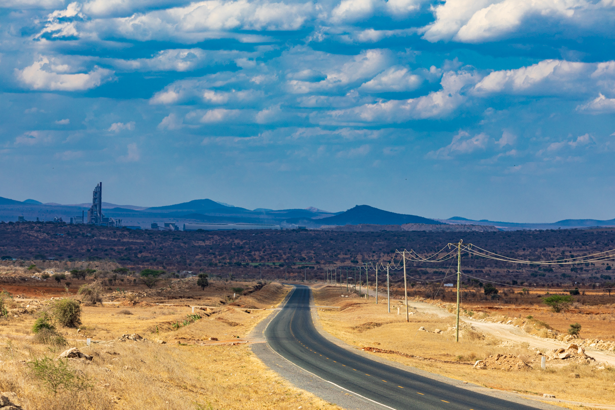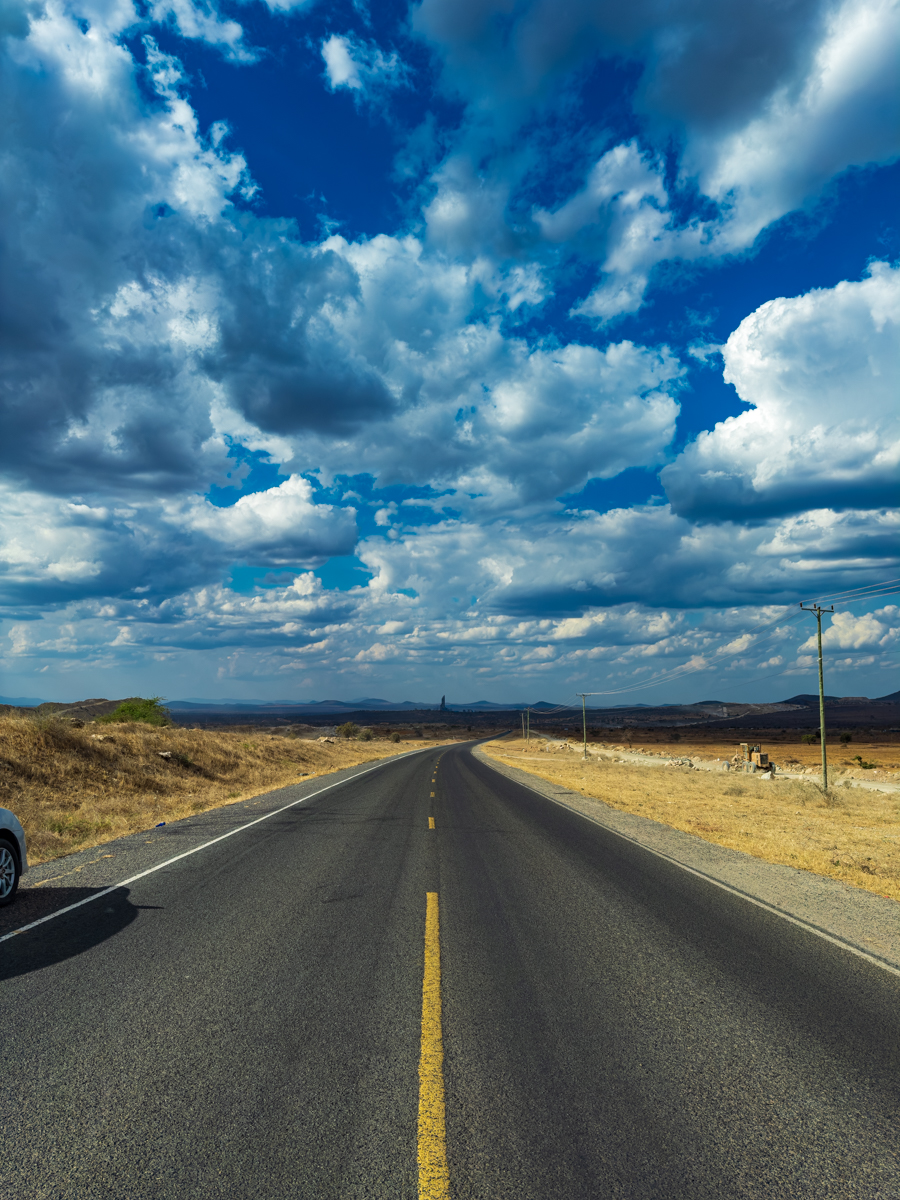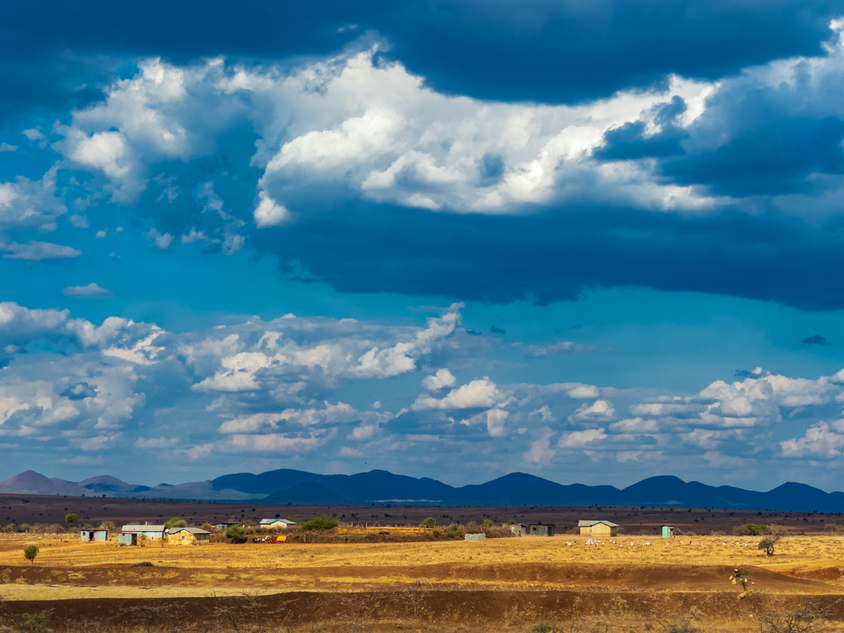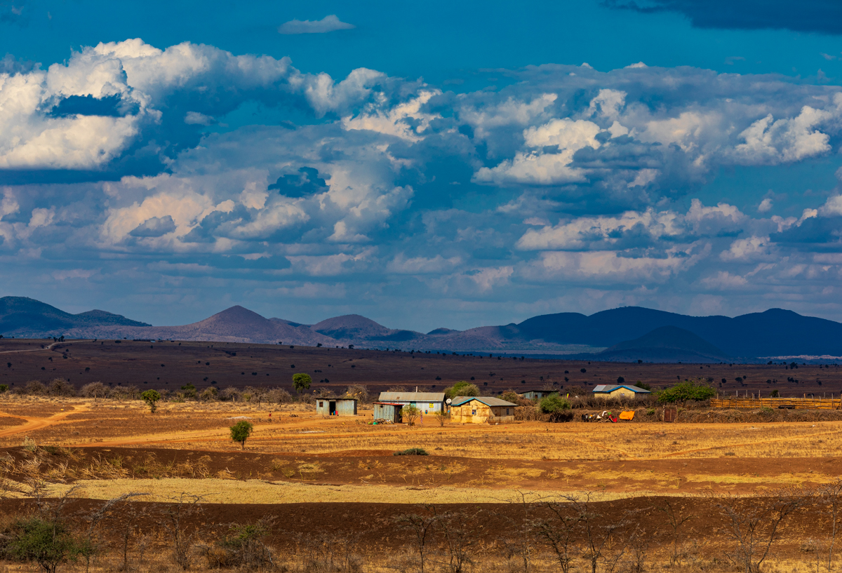
Loitokitok Kimana Emali Highway :: Kenya Landscape Travel Safari
A photographic journey through Loitokitok, Kimana and Emali, exploring the landscapes, communities, wildlife corridors and transport routes of southern Kenya.
Category: Kenyan Landscapes and Road Travel
Author: Antony Trivet
Loitokitok, Kimana and Emali: Exploring Kenya’s Southern Landscape and the Road to Kilimanjaro
Southern Kenya is a region of remarkable geographical contrasts. The landscape changes between open plains, agricultural settlements, volcanic formations, wildlife dispersal areas, mountain views and busy transport corridors. Along the route connecting Loitokitok, Kimana and Emali, these different environments reveal a side of Kenya that is not always represented by the country’s better-known national parks and safari destinations.
Loitokitok, also commonly written as Oloitokitok or Loitoktok, is a border town in Kajiado County, close to Tanzania and the foothills of Mount Kilimanjaro. Kimana is an important settlement in Kajiado South, associated with agriculture, wetlands and a significant wildlife dispersal landscape near Amboseli. Further north-east, Emali is a busy commercial and transport centre along the Nairobi–Mombasa highway in Makueni County.
Together, these places offer an interesting journey through the human and natural geography of southern Kenya. The route is not simply a safari road. It connects border trade, rural livelihoods, agriculture, conservation areas, regional transport and some of the most recognisable mountain scenery in East Africa.
For landscape photographers, travellers and anyone interested in understanding Kenya beyond its major tourist attractions, the Loitokitok–Kimana–Emali route provides a rich subject for exploration.
Loitokitok, Kimana and Emali at a glance
| Location | County | Main geographical and travel significance |
|---|---|---|
| Loitokitok (Oloitokitok/Loitoktok) | Kajiado | Border town near Tanzania and Mount Kilimanjaro |
| Kimana | Kajiado | Settlement and agricultural area associated with the Amboseli wildlife dispersal landscape |
| Kimana Community Wildlife Sanctuary | Kajiado | Community conservation area within an important wildlife corridor |
| Emali | Makueni | Commercial and transport centre along the Nairobi–Mombasa highway |
The three locations have different functions. Loitokitok is associated with the international border and the Kilimanjaro landscape; Kimana connects agriculture, community life and conservation; while Emali is closely associated with highway transport, commerce and movement between Kenya’s major urban and coastal centres.
Where is Loitokitok in Kenya?
Loitokitok is located in Kajiado County in southern Kenya, close to the international boundary with Tanzania. It lies within the wider geographical landscape influenced by Mount Kilimanjaro and the Amboseli ecosystem.
The town is an important local centre for residents, businesses and travellers moving through this part of the country. Its position near the Kenya–Tanzania border gives it a distinctive regional character. Cross-border movement, trade, transport and the interaction of neighbouring communities all contribute to its importance.
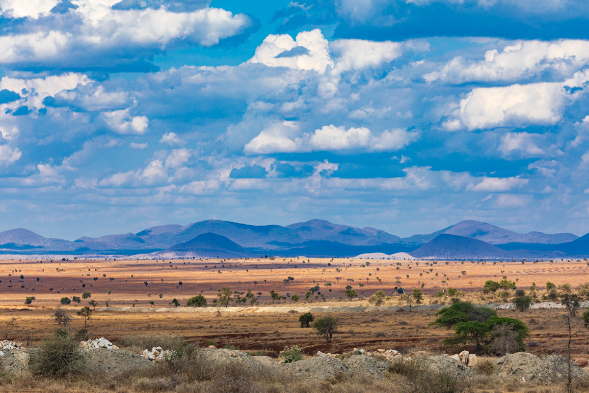
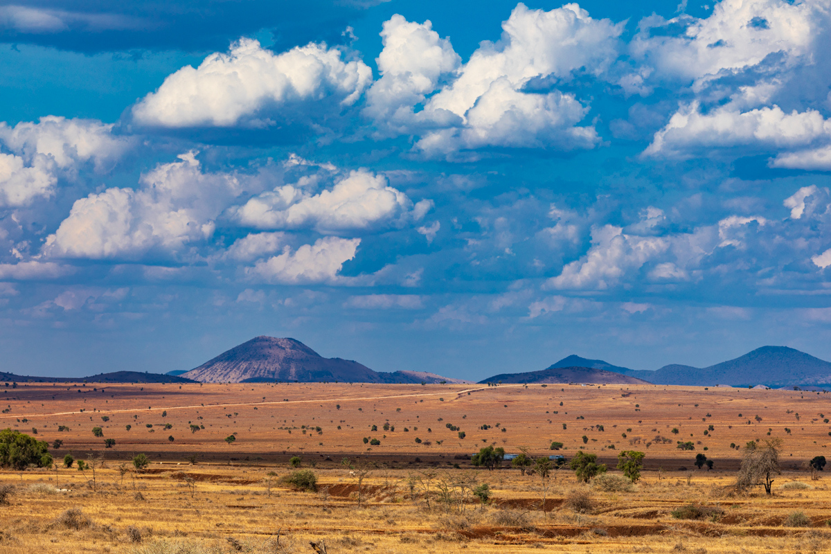
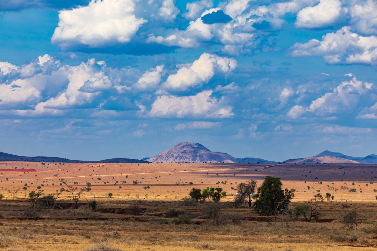
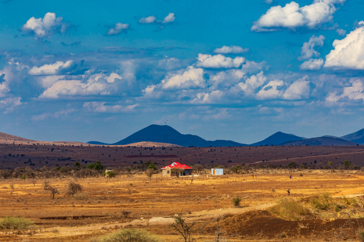
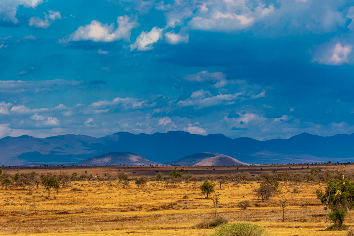
Loitokitok is also associated with the southern Kajiado landscape, where open plains, agricultural areas, scattered settlements and mountain views form part of the scenery.
The name appears in different forms, including Oloitokitok and Loitoktok. These variations are used in different official and informal contexts. For consistency, this article uses Loitokitok, while recognising the other spellings.
Loitokitok and the Kenya–Tanzania border
One of Loitokitok’s most important geographical features is its proximity to Tanzania. The town serves as a border gateway between the two countries and is part of the wider network of official land-border crossing points.
The Directorate of Immigration Services lists Loitoktok as an active land border point in Kajiado County. Its published operating hours are 06:30 to 18:30. Travellers planning to cross should confirm current arrangements with the relevant authorities before travelling, especially around public holidays or when regulations change.
The border is important for more than tourism. It supports the movement of people and goods, local commerce and connections between communities on either side of the international boundary.
For visitors, it is important to distinguish between travelling towards the border and actually crossing it. An international crossing requires compliance with the applicable immigration, customs and travel-document requirements. A visitor should not assume that any informal road or track near the border is an authorised crossing point.
Loitokitok’s border position also gives it a wider regional identity. It is part of a landscape in which national boundaries coexist with long-established social, economic and cultural connections.
Mount Kilimanjaro and the landscape around Loitokitok
Mount Kilimanjaro is one of the most recognisable geographical landmarks in East Africa. Although it is frequently associated with Kenya in photographs taken from across the border, the mountain is located in Tanzania.
Its highest point, Uhuru Peak, rises to approximately 5,895 metres above sea level. The mountain’s scale and distinctive summit make it a defining feature of the surrounding region.
From parts of southern Kenya, including areas around Loitokitok and the wider Amboseli landscape, Mount Kilimanjaro can be visible when weather and atmospheric conditions are favourable.
The mountain’s presence influences the character of the surrounding landscape. Its slopes, forests, water systems and snow- and ice-influenced summit environment contrast with the drier plains found across parts of southern Kenya.
For photographers, the mountain offers a dramatic background to rural settlements, open countryside, roads, livestock and wildlife habitats. Visibility is not guaranteed, however. Cloud cover, haze and changing weather conditions can obscure the summit, even when the mountain is geographically close.
Early morning often provides favourable photographic conditions, although the best time varies with the season and the weather on the day.
It is also worth remembering that Mount Kilimanjaro is not situated in Loitokitok or within Kenya. It is a Tanzanian mountain that can be viewed from parts of Kenya.
Kimana, Kajiado County
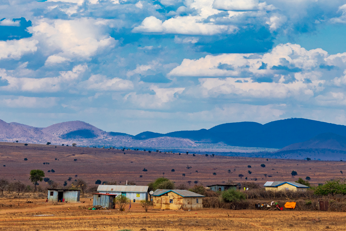
Kimana is a settlement in Kajiado County, within Kajiado South. It is associated with the wider Amboseli landscape and lies in a region where rural settlements, agriculture, wetlands and wildlife dispersal areas exist alongside one another.
Kimana is also the name of one of the wards in Kajiado South Constituency. This is the appropriate contemporary electoral-administrative context when describing the area. References to the former Loitokitok District should be treated as historical terminology rather than presented as the current administrative structure.
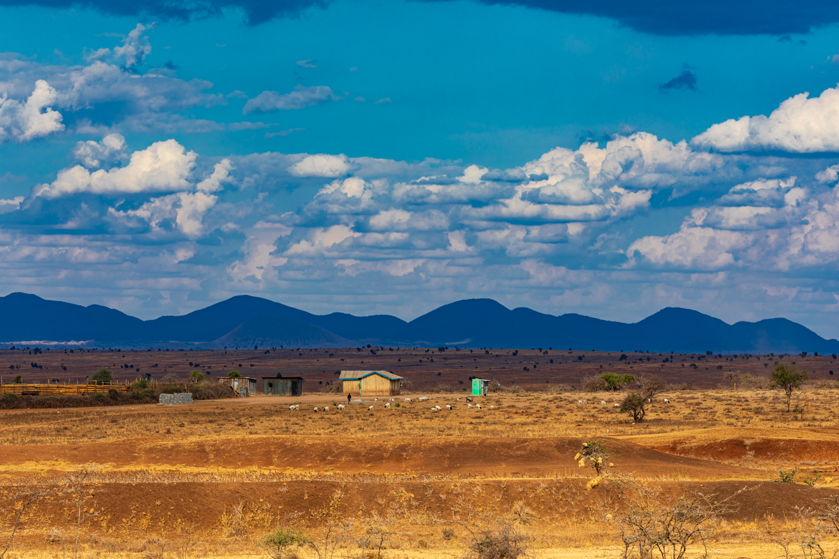
The surrounding landscape is characterised by open country, rural settlements and areas used for livestock keeping and crop production. The availability of water is an important factor in how land is used and how communities sustain their livelihoods.
Kimana is particularly interesting because its importance extends beyond its role as a settlement. The wider area is connected to one of the important wildlife dispersal landscapes around Amboseli National Park.
Kimana and the Amboseli wildlife corridor
Kimana is widely associated with the wildlife movement areas linking Amboseli National Park with neighbouring conservation landscapes, including Tsavo West National Park.
The wider Amboseli ecosystem is not confined to the boundaries of the national park. Wildlife moves through surrounding community lands and dispersal areas, depending on access to water, pasture, seasonal conditions and the availability of suitable habitat.
The Kimana area forms part of this wider landscape. The Kimana Community Wildlife Sanctuary is situated along an important wildlife corridor between Amboseli and Tsavo West. It is a community conservation area associated with local landowners and community management.
This relationship between community land and wildlife conservation is important. Wildlife habitats do not always follow administrative boundaries or the boundaries of protected parks. Their long-term survival can depend on maintaining connections between different habitats.
The corridor landscape is therefore significant not only for the wildlife found within it but also for the wider ecological connections it helps sustain.
Kimana Community Wildlife Sanctuary
Kimana Community Wildlife Sanctuary is one of the notable conservation features associated with this region.
The sanctuary is described in conservation literature as being owned and managed by members of the Kimana-Tikondo community. It includes a wetland supported by permanent streams and springs, with groundwater linked to Mount Kilimanjaro.
This water system is especially important in a landscape where water availability can vary considerably between seasons and locations.
The wetland provides habitat for wildlife and contributes to the ecological value of the wider area. Its importance is connected to the relationship between water, vegetation, wildlife and the surrounding community landscape.
The sanctuary should not be confused with Kimana town itself. They are related geographically, but they are not interchangeable names for the same place.
Visitors should also distinguish between viewing the wider landscape from public roads and entering a sanctuary or community conservation property. Access rules, visitor arrangements and any applicable fees should be confirmed directly with the relevant management before visiting.
The Kimana wetland and water resources
Wetlands are important features in otherwise dry or semi-arid environments. They provide water and support vegetation that may be absent from surrounding areas.
The Kimana wetland is particularly significant because its water supply is associated with permanent streams, springs and groundwater connected to the Mount Kilimanjaro system.
This creates a valuable habitat within the wider Amboseli landscape. Water availability can influence where wildlife gathers, where vegetation grows and how animals move across the surrounding area.
The wetland is also important to the local environment and the communities living around it. It illustrates why water resources are central to understanding the geography of southern Kajiado.
The existence of a wetland does not mean that the entire surrounding region is permanently wet. Conditions vary across the landscape, and seasonal rainfall, groundwater and local water use all influence the environment.
Agriculture and rural life around Kimana
Although Kajiado is widely described as an arid and semi-arid county, this does not mean that agriculture is impossible throughout the region.
Agricultural activity around Kimana is influenced by access to water, soil conditions, rainfall, irrigation and local land-use practices. Some areas support crop production, while other areas are more closely associated with livestock keeping and pastoral livelihoods.
The contrast between dry surrounding country and cultivated plots is part of the area’s distinctive landscape.
It is important not to describe the entire region as uniformly agricultural or uniformly unsuitable for farming. Local conditions differ, and access to water is a major factor in determining what can be cultivated.
Agriculture also exists alongside conservation and livestock production. These land uses can create both opportunities and challenges, particularly where farming, settlements, livestock and wildlife share the same landscape.
The relationship between agricultural development and wildlife movement is an important issue in the wider Amboseli ecosystem. Land-use changes, settlement expansion, fencing and pressure on water resources can affect the movement of wildlife through community areas.
This makes responsible land management and community participation important parts of long-term conservation.
Kajiado County and its southern landscapes
Kajiado County occupies a large area of southern Kenya and shares an international boundary with Tanzania. Its landscapes include open plains, valleys, hills and areas influenced by volcanic and mountain geography.
The county is often associated with pastoralism, livestock keeping and Maasai cultural heritage, but its economy and population are more diverse than a single description can suggest.
Agriculture, trade, transport, settlements, public services and conservation all contribute to the county’s social and economic life.
The county’s climate is generally dry to semi-arid across extensive areas, although local conditions vary with elevation, rainfall patterns, water availability and geography.
This variation is visible along the Loitokitok–Kimana landscape. Areas with access to water can support cultivation and denser settlement, while other places retain more open rangeland characteristics.
The southern part of Kajiado is also important for its relationship with the Amboseli ecosystem and the wider landscapes that extend towards Tanzania.
For visitors, the county offers more than a route to a national park. It is a region with its own settlements, landscapes, cultural history, livelihoods and environmental significance.
Emali, Makueni County
Emali is a commercial and transport centre in Makueni County, situated along the Nairobi–Mombasa highway. Its location makes it an important stopping and connecting point for people and goods travelling between Nairobi, the Kenyan coast and destinations further inland.
The town is associated with road transport, trading activity, passenger movement and services supporting the highway corridor.
Makueni County’s official information identifies Emali/Mulala as an electoral ward in Kibwezi West. The county also recognises the Emali–Sultan Hamud Municipality.
These administrative details are useful because descriptions of Emali sometimes simplify its county location or suggest that the entire town indisputably straddles the Kajiado–Makueni boundary. The exact interpretation of local boundary questions should be based on authoritative administrative and boundary records rather than informal descriptions.
For this article, the clearest and most reliable description is that Emali is a town and transport centre in Makueni County, within the wider geographical area near the Kajiado boundary.
Emali and the Nairobi–Mombasa highway
Emali’s position along the Nairobi–Mombasa highway is central to its identity.
The highway is one of Kenya’s most important transport corridors, connecting the capital with the Port of Mombasa and supporting the movement of passengers, commercial vehicles and freight.
Emali serves as a stopping and commercial point along this route. Its location makes it relevant to travellers, public transport operators, businesses and drivers using the highway.
The town’s importance is not limited to long-distance freight. It also serves surrounding communities and local economic activity.
The wider road network connects Emali with other parts of Makueni County and neighbouring regions. This includes routes towards Wote and other settlements in the county, as well as connections towards Kajiado and southern Kenya.
Because Emali is located on a busy highway, visitors should exercise care when stopping, crossing roads or photographing traffic. Heavy vehicles, changing traffic conditions and roadside activity make road awareness essential.
Emali as a transport and commercial centre
Emali is sometimes described mainly as a truck stop. While long-distance transport is an important part of its character, that description is incomplete.
The town is also a local commercial centre, serving residents, travellers and businesses in the surrounding area.
Its shops, markets, transport services and other commercial activities are part of the wider economy of Makueni County.
The highway gives Emali a regional role, connecting it to the movement of goods and people between Kenya’s principal urban and coastal centres. Its position also makes it a useful reference point for journeys towards the southern interior.
Understanding the Loitokitok–Kimana–Emali road journey
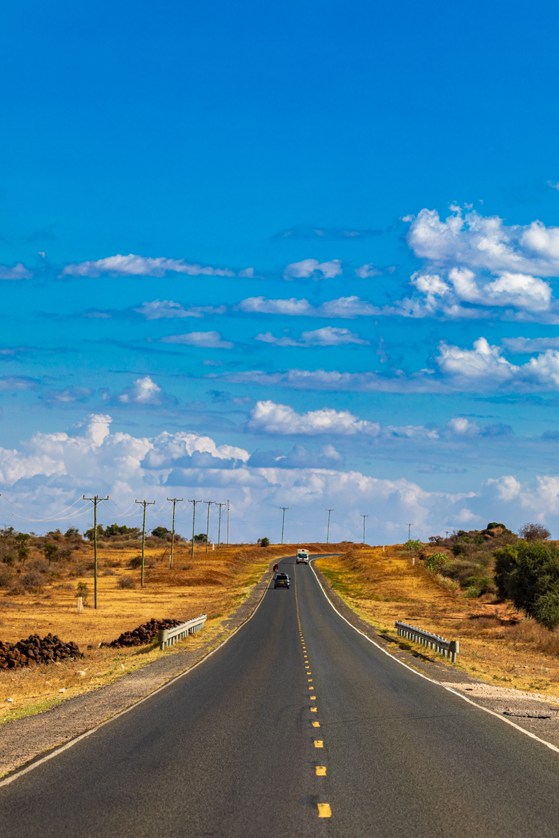
The journey connecting Loitokitok, Kimana and Emali passes through landscapes with different geographical and economic characteristics.
Rather than viewing the route as a single tourist attraction, it is more useful to understand it as a regional journey linking border communities, agricultural settlements, conservation landscapes and a major transport corridor.
Loitokitok to Kimana
The Loitokitok–Kimana section passes through the southern Kajiado landscape.
The scenery is associated with open country, rural settlements, agricultural activity and the wider geographical influence of Mount Kilimanjaro.
The exact views available along the journey depend on weather, visibility and the particular road section being travelled.
For photographers, this part of the route offers opportunities to document the relationship between settlement, land use and the surrounding landscape.
Kimana to Emali
The journey from Kimana towards Emali provides a transition from the southern Kajiado landscape towards the Makueni transport corridor.
The surroundings vary along the route, with rural settlements, open landscapes and areas of agricultural use.
As the journey approaches Emali, the presence of the Nairobi–Mombasa highway becomes increasingly important to the character of the area.
Travellers should check current road conditions and route information before departure. Actual journey times depend on the chosen route, traffic, weather and roadworks.
Emali and the wider transport network
Emali’s location along the Nairobi–Mombasa highway gives it a connection to one of the country’s most important road networks.
The highway links Nairobi and Mombasa, while other regional roads connect Emali with settlements and administrative centres in Makueni and neighbouring counties.
For travellers, Emali can serve as a convenient point along a longer journey. For photographers, the town provides a different subject from the open landscapes further south: transport, roadside commerce, movement and the everyday activity of a highway settlement.
Is the Loitokitok–Kimana–Emali route a safari route?
The route passes through a region associated with wildlife conservation, particularly around Kimana and the wider Amboseli ecosystem. However, it should not be presented as a conventional safari circuit or as a road where wildlife sightings are guaranteed.
Wildlife movement takes place across a wider landscape that includes protected areas and community land. The presence of wildlife in the region does not mean that animals will necessarily be visible from the public road.
Visitors seeking a structured wildlife experience should make arrangements with recognised parks, sanctuaries or authorised conservation operators.
Access to private land, community conservancies and wildlife areas should never be assumed. Visitors should obtain permission and follow the relevant access and safety rules.
The route is best understood as a landscape and regional travel journey with connections to conservation areas, rather than a substitute for a planned safari.
Common misconceptions about Loitokitok, Kimana and Emali
1. Loitokitok is in Tanzania
Loitokitok is in Kenya, within Kajiado County. It is close to the Tanzania border and is an official land-border crossing point.
2. Mount Kilimanjaro is in Kenya
Mount Kilimanjaro is in Tanzania. It can be viewed from parts of southern Kenya when atmospheric and weather conditions allow.
3. Kimana is only an agricultural settlement
Kimana is associated with agriculture and local settlement, but its wider landscape is also important for wetlands, wildlife dispersal and community conservation.
4. Agriculture is impossible in semi-arid Kajiado
Semi-arid conditions create challenges, particularly around water availability, but they do not make all agriculture impossible. Farming practices and productivity depend on local conditions, irrigation and access to water.
5. Wildlife is found only inside Amboseli National Park
Wildlife can move through surrounding community lands and dispersal areas. The wider ecosystem is not limited to the national park boundary.
6. Kimana town and Kimana Community Wildlife Sanctuary are the same place
They are related geographically but refer to different things. Kimana is a settlement and ward name, while Kimana Community Wildlife Sanctuary is a community conservation area.
7. Emali is simply a truck stop
Emali is an important transport and commercial centre, but it also serves surrounding communities and supports local economic activity.
8. Emali can be described without qualification as a town that straddles two counties
Administrative and boundary descriptions require care. Makueni County recognises the Emali–Sultan Hamud Municipality and lists Emali/Mulala ward in Kibwezi West. Avoid presenting a disputed or imprecise boundary description as settled fact.
Visitor information and practical travel guidance
The Loitokitok–Kimana–Emali region can be explored as part of a wider southern Kenya road journey. Visitors should plan according to their intended activities, the condition of the roads and the amount of time available.
1. Check the road and route conditions
Road conditions can change because of weather, maintenance, construction and traffic. Confirm the route before setting out, especially when travelling on unfamiliar rural roads.
Do not assume that the shortest route displayed by a navigation application is necessarily the most suitable route.
2. Prepare for changing weather
The region includes open landscapes and areas with different elevations and local conditions. Temperatures, wind, cloud cover and rainfall can vary.
Carry suitable clothing and plan for changing conditions, particularly if spending extended periods outdoors.
3. Carry drinking water
Water availability can be uneven in rural and semi-arid areas. Travellers should carry sufficient drinking water and avoid assuming that shops or services will be available at every stopping point.
4. Respect wildlife and conservation areas
Wildlife can move through community landscapes. Keep a safe distance from animals, do not feed them and avoid blocking their movement.
Only enter conservation areas through authorised access points and follow the instructions of the relevant management.
5. Confirm accommodation and visitor facilities
Accommodation, camping arrangements, health facilities, fuel availability and other services can change. Confirm availability directly with the relevant business or institution before relying on it.
Do not assume that a particular settlement has a visitor campsite, rented tents or a specific health facility merely because older travel descriptions mention one.
6. Follow border regulations
If travelling across the Kenya–Tanzania border, use the authorised border crossing and carry the required travel documents.
Confirm current immigration and customs requirements with the relevant authorities before departure.
7. Take care on the highway
Emali is situated along a major transport corridor with significant commercial traffic. Drivers and pedestrians should take particular care when stopping, crossing the road or taking photographs near moving vehicles.
8. Respect local communities
The region is home to communities whose livelihoods depend on farming, livestock, trade and other local activities.
Ask permission before photographing people, private property or activities in places where consent is appropriate. Respect local customs and do not obstruct businesses, roads or community activities.
Landscape photography around Loitokitok, Kimana and Emali
The Loitokitok–Kimana–Emali route offers a varied photographic subject because the landscape changes significantly between the three locations.
For Antony Trivet Photography, the strongest editorial approach is to document the region through original photographs that show its geography, people, transport, agriculture and natural environment.
Photographing Mount Kilimanjaro near Loitokitok
Mount Kilimanjaro is a strong visual subject when visible from the Kenyan side of the border.
Wide landscape compositions can show the mountain in relation to the surrounding plains, settlements and rural activity.
Early morning may provide favourable conditions for mountain photography, although cloud cover and visibility remain unpredictable.
A useful photograph should identify the location accurately and avoid suggesting that the mountain itself is in Kenya.
Photographing Kimana’s rural landscape
Kimana offers opportunities to document the relationship between settlement, agriculture and the wider environment.
Photographs can show cultivated land, rural roads, vegetation, livestock and the changing appearance of the landscape.
When photographing agricultural activity or residents, respect privacy and obtain permission where appropriate.
Photographing Kimana’s wetland and wildlife landscape
The Kimana wetland is an important ecological feature. Photographs of the wetland and its surroundings can help illustrate the role of water in the wider Amboseli landscape.
Wildlife photography should be undertaken responsibly and only from authorised locations. Do not approach animals, disturb habitats or enter private conservation property without permission.
Photographing the wider Kajiado landscape
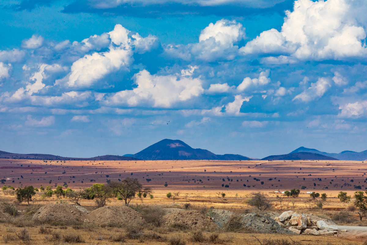
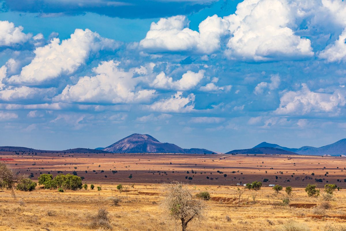
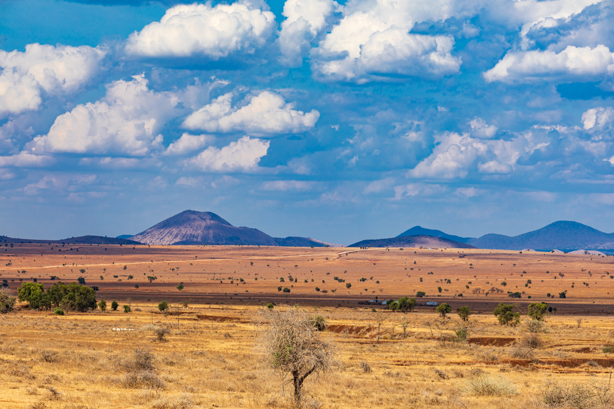
The open country of southern Kajiado provides opportunities for wide compositions that communicate scale, distance and the relationship between human settlement and the natural environment.
Look for the contrast between open plains, hills, cultivated areas and the built environment.
Photographing Emali and the Nairobi–Mombasa highway
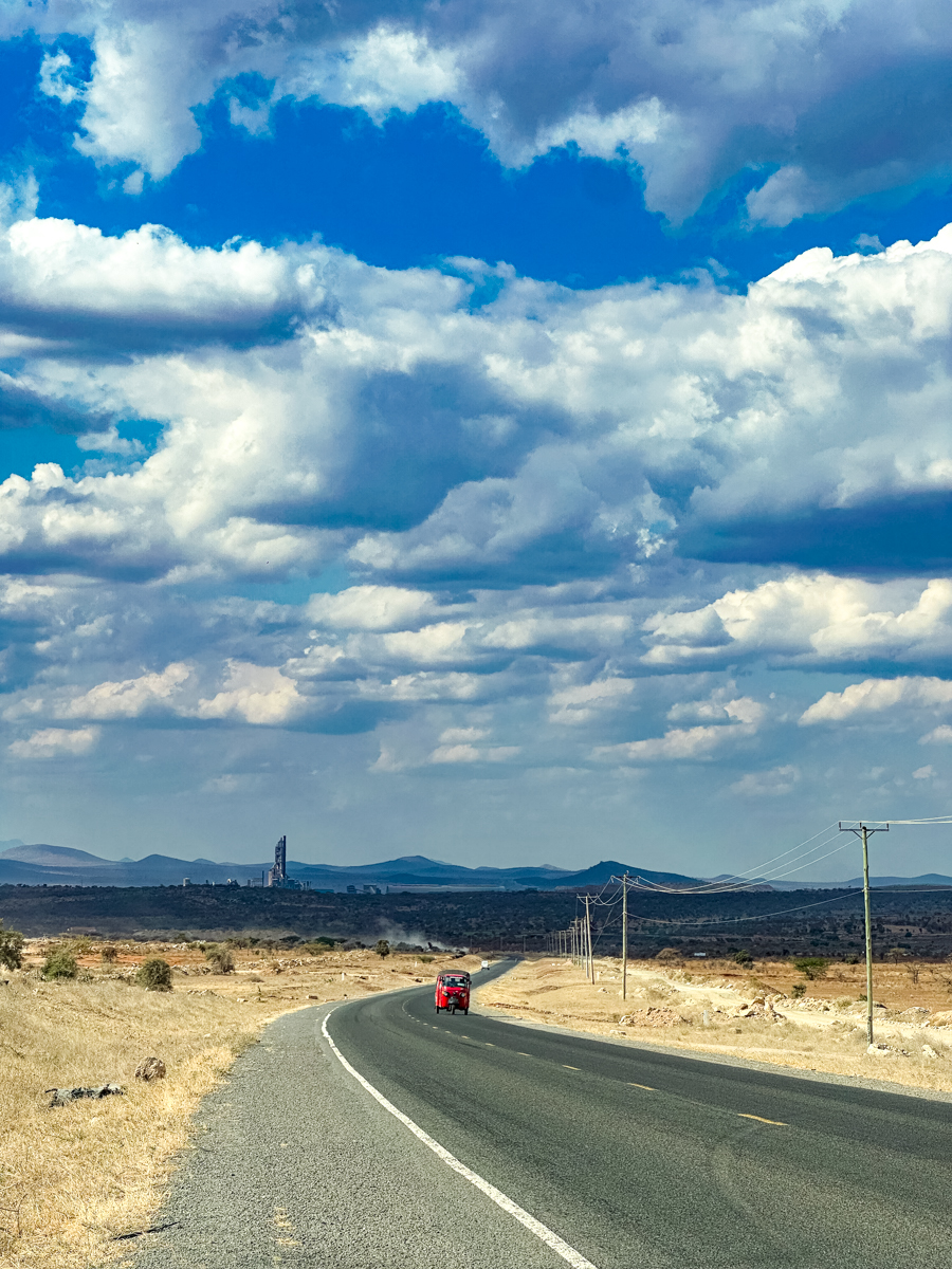
Emali offers a different visual subject. Its identity is closely connected to transport, roadside commerce and movement along the highway.
Photographs can document the town’s role as a transport centre and the activity that takes place around the road.
For safety, avoid standing in traffic lanes or on unsafe road shoulders to obtain photographs. Use safe, lawful stopping places and remain aware of passing vehicles.
Why the Loitokitok–Kimana–Emali landscape matters
The importance of this route is not limited to its role in connecting three settlements.
It offers a view of the relationship between geography, community life, transport and conservation in southern Kenya.
Loitokitok illustrates the importance of the international border and the proximity of Mount Kilimanjaro. Kimana shows how rural settlements, agriculture, wetlands and wildlife corridors can exist within the same wider landscape. Emali demonstrates the importance of the Nairobi–Mombasa highway to regional commerce and transport.
These places also reveal why Kenya’s landscapes should not be understood only through national parks and established tourist destinations. Much of the country’s character is found in the settlements, roads, farms, wetlands and everyday environments that connect those destinations.
For travellers, the journey provides a chance to experience a different side of southern Kenya. For photographers, it offers a varied collection of subjects that tell a wider story about the region.
Frequently asked questions about Loitokitok, Kimana and Emali
Where is Loitokitok located?
Loitokitok is in Kajiado County in southern Kenya, close to the Tanzania border and the Mount Kilimanjaro landscape.
Is Loitokitok near Tanzania?
Yes. Loitokitok is close to the Kenya–Tanzania international boundary and is an official land-border crossing point.
Is Loitokitok also called Oloitokitok?
Yes. Oloitokitok and Loitoktok are alternative spellings used in different contexts. Loitokitok is used consistently in this article for readability.
Is Mount Kilimanjaro in Kenya or Tanzania?
Mount Kilimanjaro is in Tanzania. It can be seen from parts of southern Kenya when weather and visibility conditions are favourable.
Where is Kimana in Kenya?
Kimana is in Kajiado County, within Kajiado South. It is associated with the wider Amboseli landscape and nearby wildlife dispersal areas.
What is Kimana known for?
Kimana is associated with rural settlement, agriculture, wetlands and the wider wildlife corridor connecting the Amboseli and Tsavo West landscapes.
What is Kimana Community Wildlife Sanctuary?
It is a community conservation area associated with the Kimana-Tikondo community. It includes an important wetland and forms part of the wider wildlife corridor between Amboseli and Tsavo West.
Is Kimana part of Amboseli National Park?
Kimana is not the same as Amboseli National Park. It is a settlement and wider community landscape associated with the Amboseli ecosystem and its wildlife dispersal areas.
Is agriculture practised around Kimana?
Yes. Agriculture is practised in parts of the area, with water availability and local conditions influencing what can be grown and where.
Where is Emali located?
Emali is a town and transport centre in Makueni County, along the Nairobi–Mombasa highway.
Why is Emali important?
Its location along the Nairobi–Mombasa highway makes it an important transport and commercial centre for travellers, businesses and surrounding communities.
Does Emali lie in both Kajiado and Makueni counties?
Descriptions of the county boundary around Emali should be treated carefully. Makueni County recognises the Emali–Sultan Hamud Municipality and lists Emali/Mulala ward in Kibwezi West. Avoid assuming that the whole town is administratively divided between the two counties without consulting authoritative boundary records.
Is the Loitokitok–Kimana–Emali route a safari route?
It passes through a region associated with wildlife conservation, particularly around Kimana and the wider Amboseli ecosystem. However, it is better described as a regional landscape and travel route than as a conventional safari circuit.
Can visitors see wildlife around Kimana?
Wildlife occurs in the wider landscape, but sightings are not guaranteed from public roads. Visitors should arrange authorised access if they wish to enter a sanctuary or conservation area.
What should visitors prepare for when travelling through this region?
Travellers should check road conditions, carry drinking water, prepare for changing weather, respect wildlife and local communities, and confirm accommodation and other services before travelling.
Conclusion: Discovering southern Kenya beyond the familiar safari destinations
The journey through Loitokitok, Kimana and Emali provides a revealing look at southern Kenya’s geographical and cultural diversity.
From the international border near Loitokitok to the mountain views associated with Mount Kilimanjaro, from Kimana’s agricultural and conservation landscape to Emali’s position along the Nairobi–Mombasa highway, each location contributes something different to the character of the region.
The area is an important reminder that Kenya’s identity is not defined by its national parks alone. Its settlements, rural roads, agricultural communities, wetlands, transport corridors and mountain landscapes are equally important parts of the country’s story.
For travellers, the route offers an opportunity to explore a less familiar part of Kenya. For landscape photographers, it provides a varied visual record of the relationship between people, place and environment.
Through original photography and accurate geographical storytelling, Antony Trivet Photography documents these landscapes as they are: diverse, changing and connected to the wider story of Kenya.
Image placement plan: Antony Trivet Photography originals only
Use the existing original photographs supplied for this article. Do not insert stock photographs, third-party images or images from other photographers.
| Placement | Recommended photograph | Suggested SEO alt text |
|---|---|---|
| Hero image, below H1 | Wide landscape showing Loitokitok or the surrounding southern Kajiado landscape | Loitokitok landscape in Kajiado County, southern Kenya, near the Tanzania border |
| After the Mount Kilimanjaro section | Kilimanjaro viewed from the Kenyan side | Mount Kilimanjaro in Tanzania viewed from the Loitokitok region of southern Kenya |
| After the Kimana introduction | Kimana settlement or surrounding countryside | Kimana settlement in Kajiado South, Kajiado County, Kenya |
| After the agriculture section | Cultivated land or rural farming landscape | Agricultural landscape around Kimana in Kajiado County, southern Kenya |
| After the wetland section | Kimana wetland or sanctuary landscape, if the photograph was taken there | Wetland landscape at Kimana Community Wildlife Sanctuary near Amboseli, Kenya |
| After the Kajiado section | Open plains, hills or rural landscape | Open landscape in Kajiado County, southern Kenya |
| After the Emali section | Emali town, roadside activity or highway scene | Emali town along the Nairobi–Mombasa highway in Makueni County, Kenya |
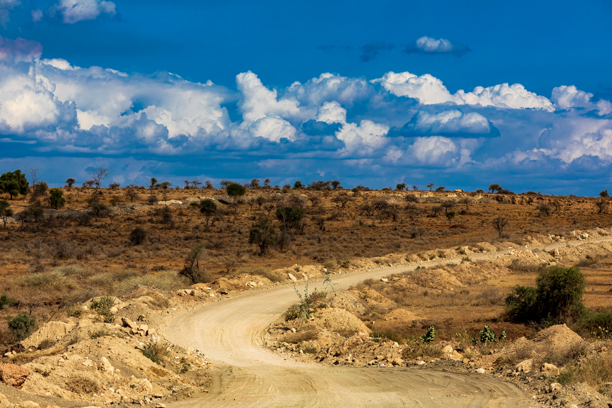
| Within the road journey section | A road scene connecting the settlements, accurately identified | Road journey through the Loitokitok and Kimana landscape in southern Kenya |
| Before the conclusion | Strong closing landscape image | Southern Kenya landscape across the Loitokitok, Kimana and Emali region |