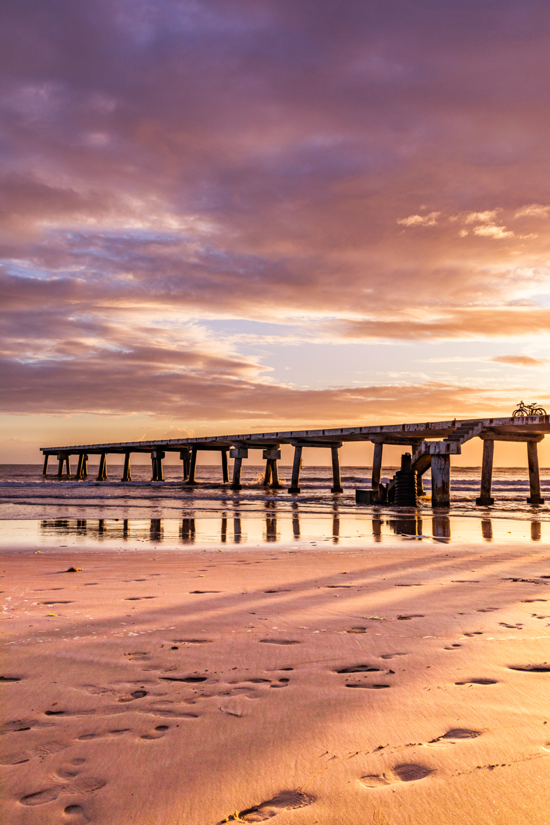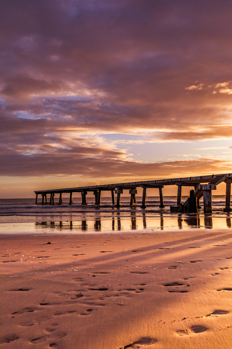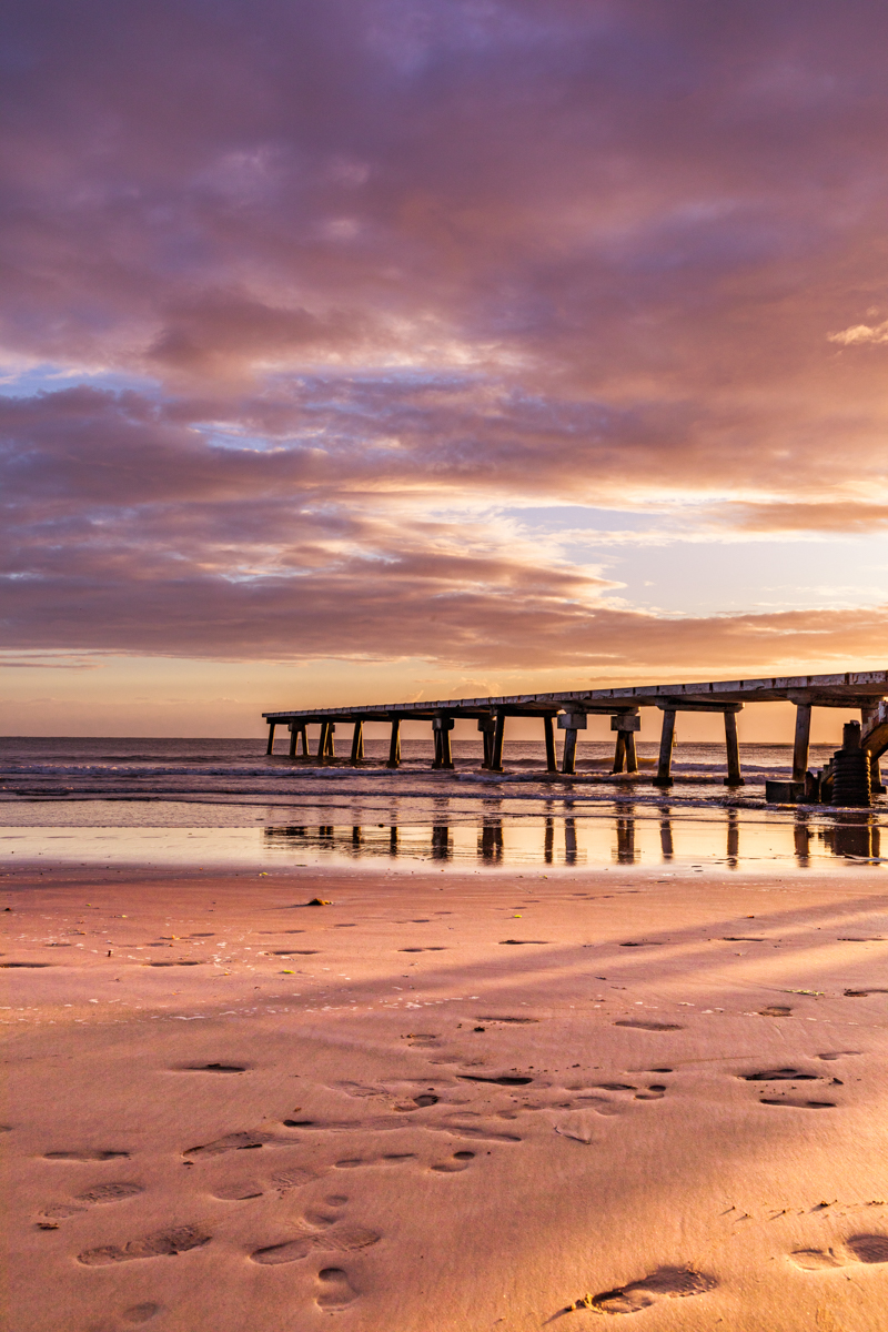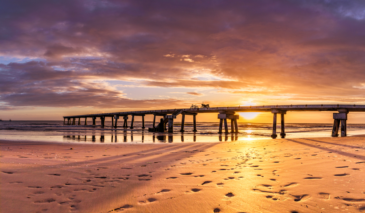
Malindi Pier, Kenya: A Travel Guide to Buntwani Beach, Fishing Heritage and the Indian Ocean Waterfront
Introduction: Discovering Malindi Pier
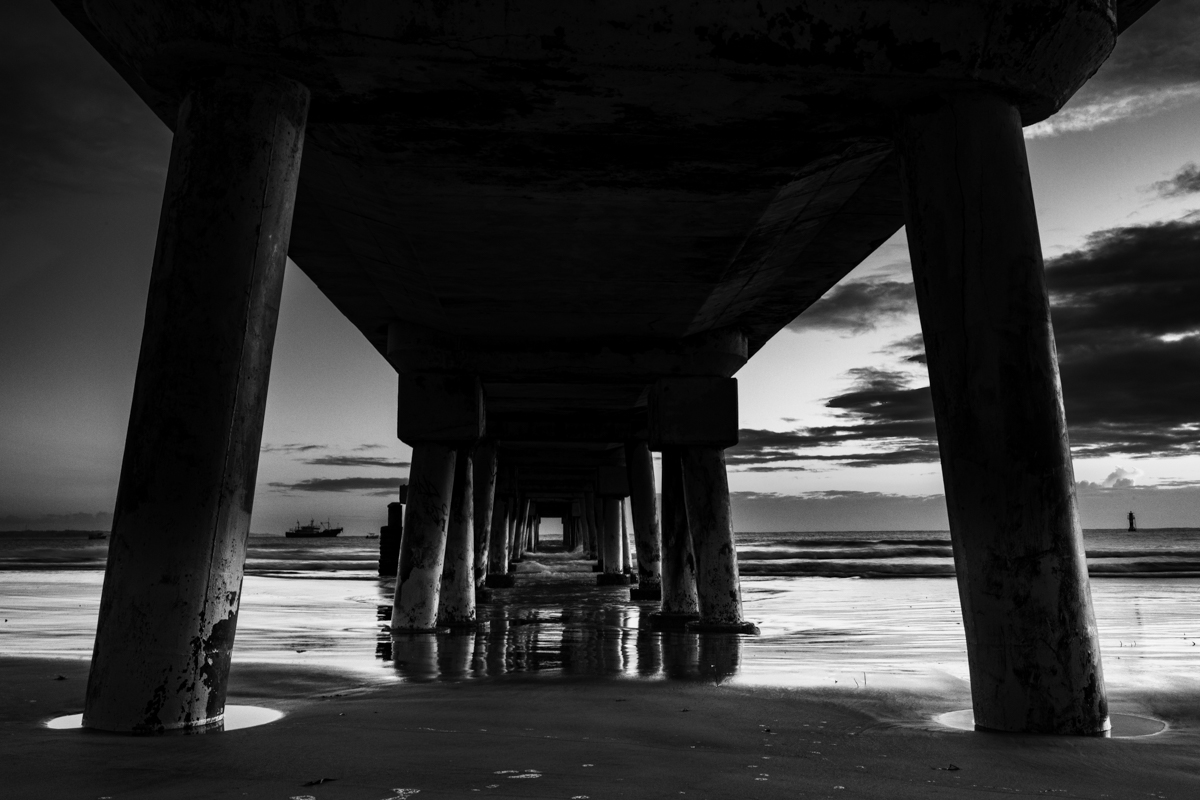
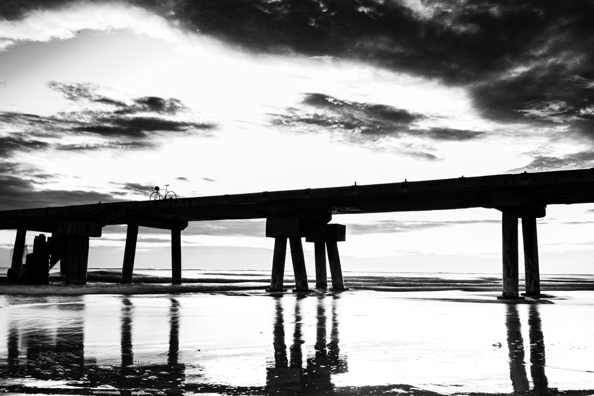
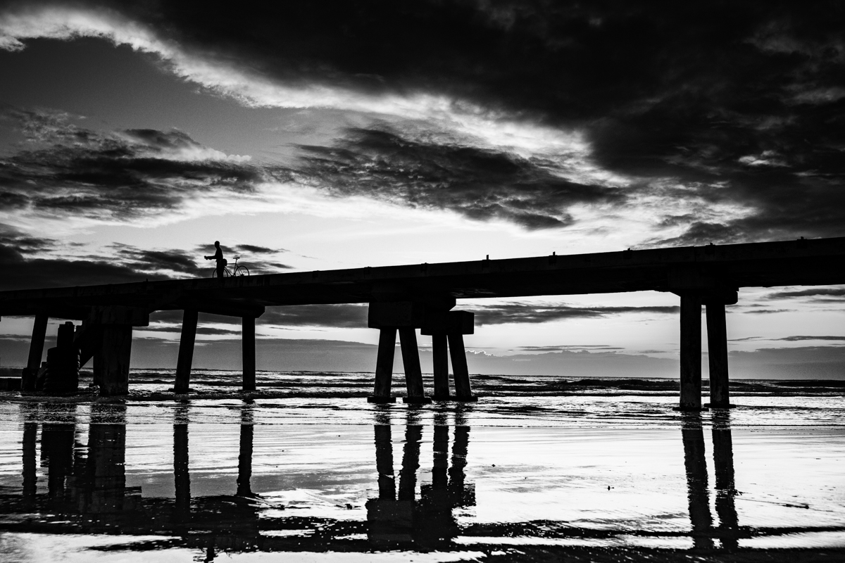
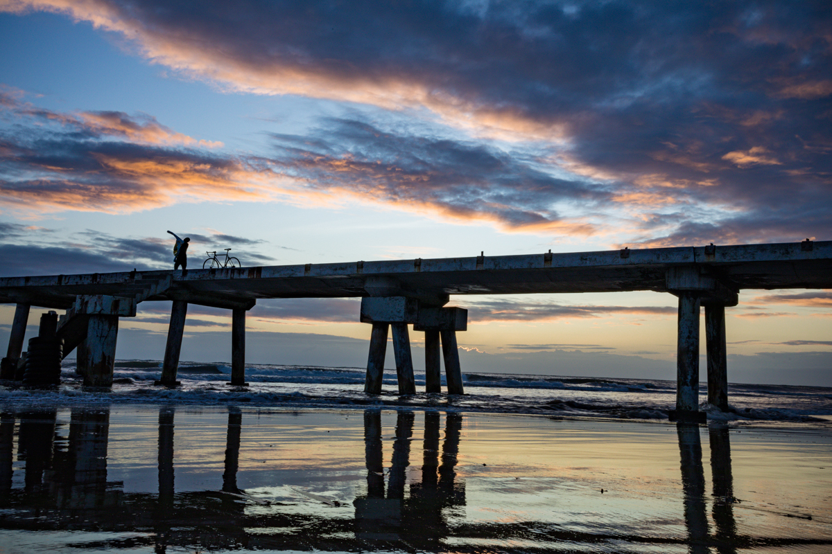
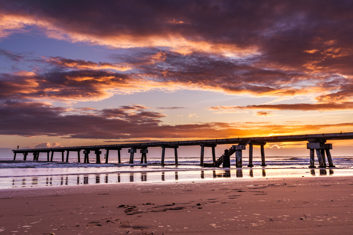
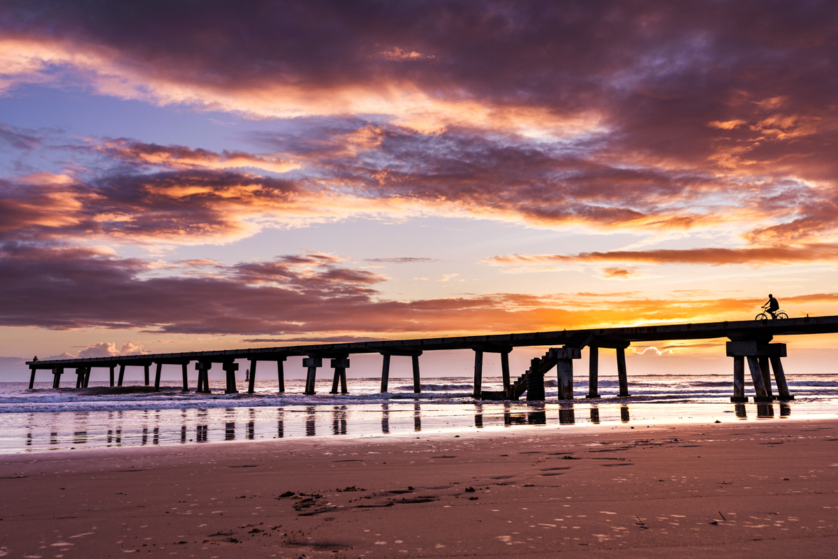
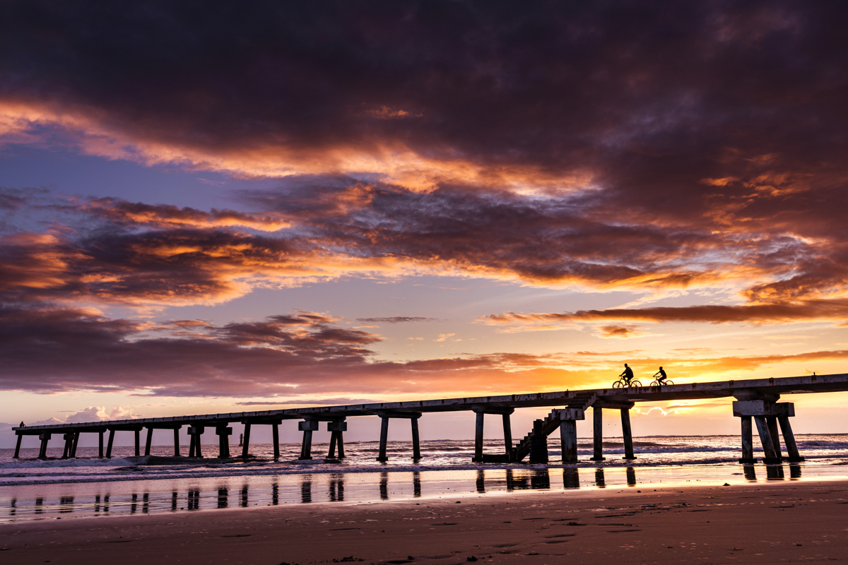
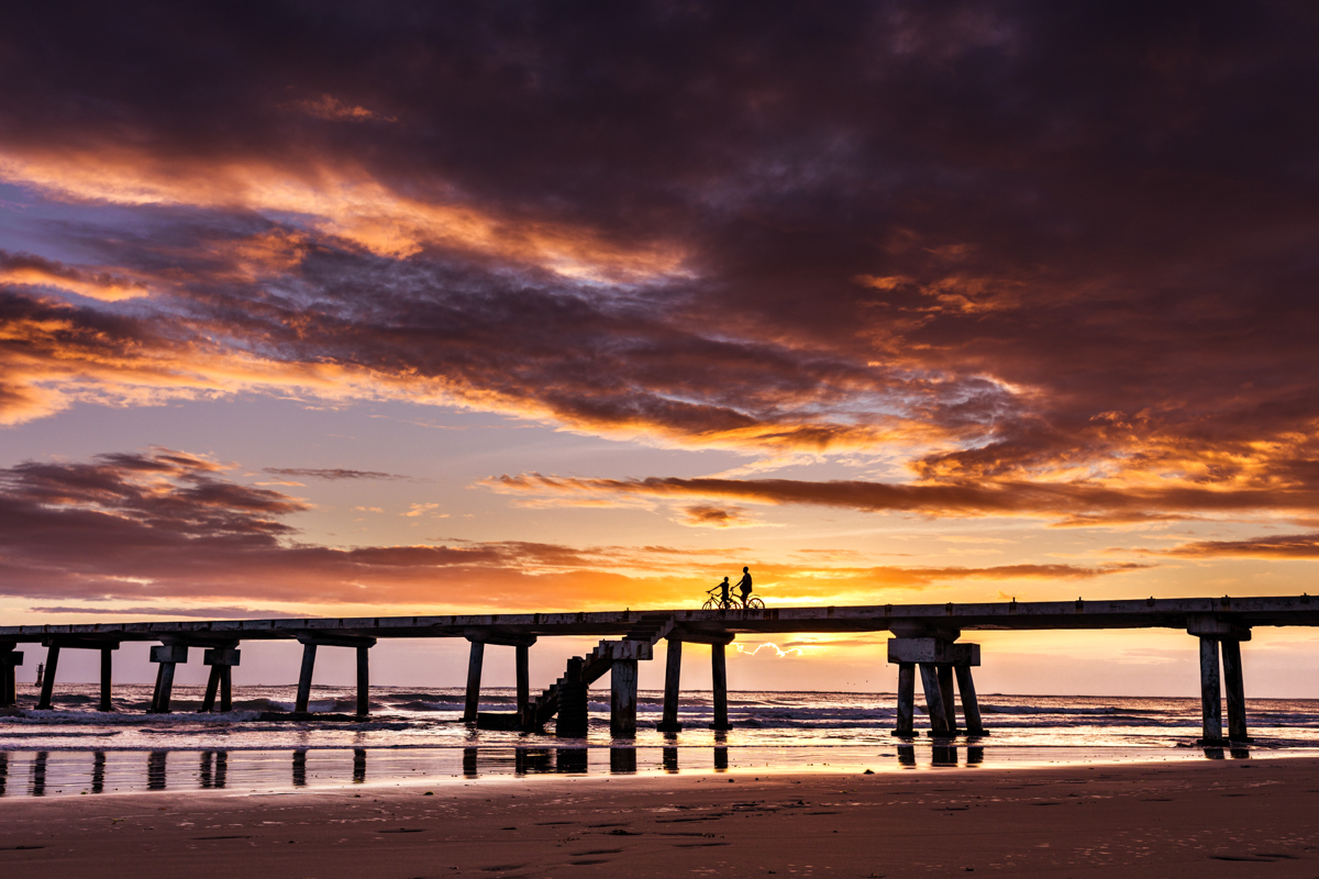
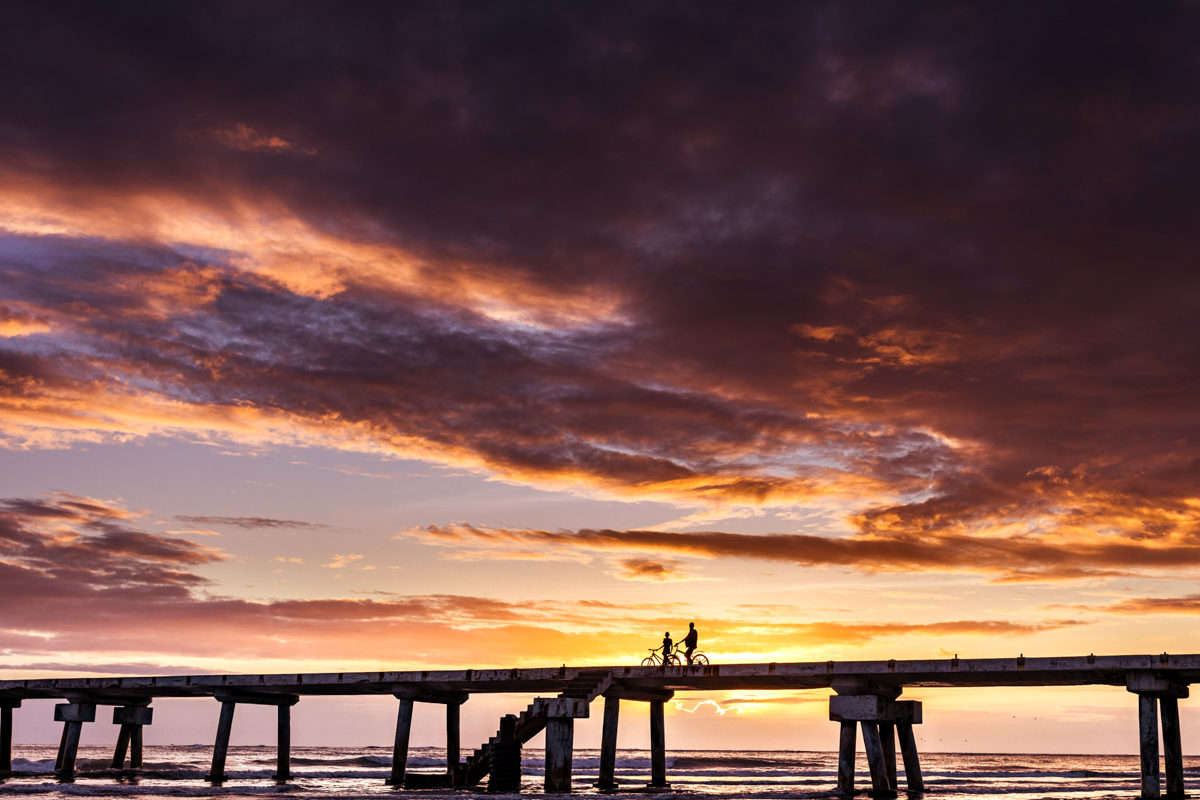
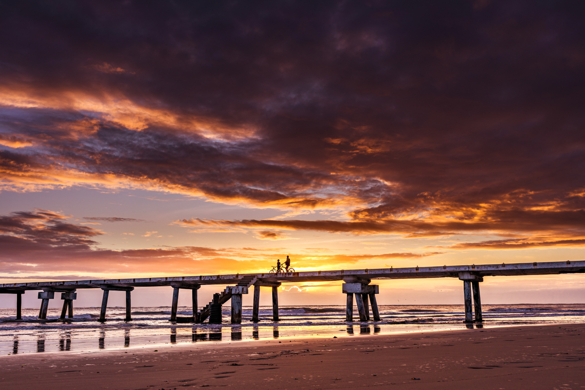
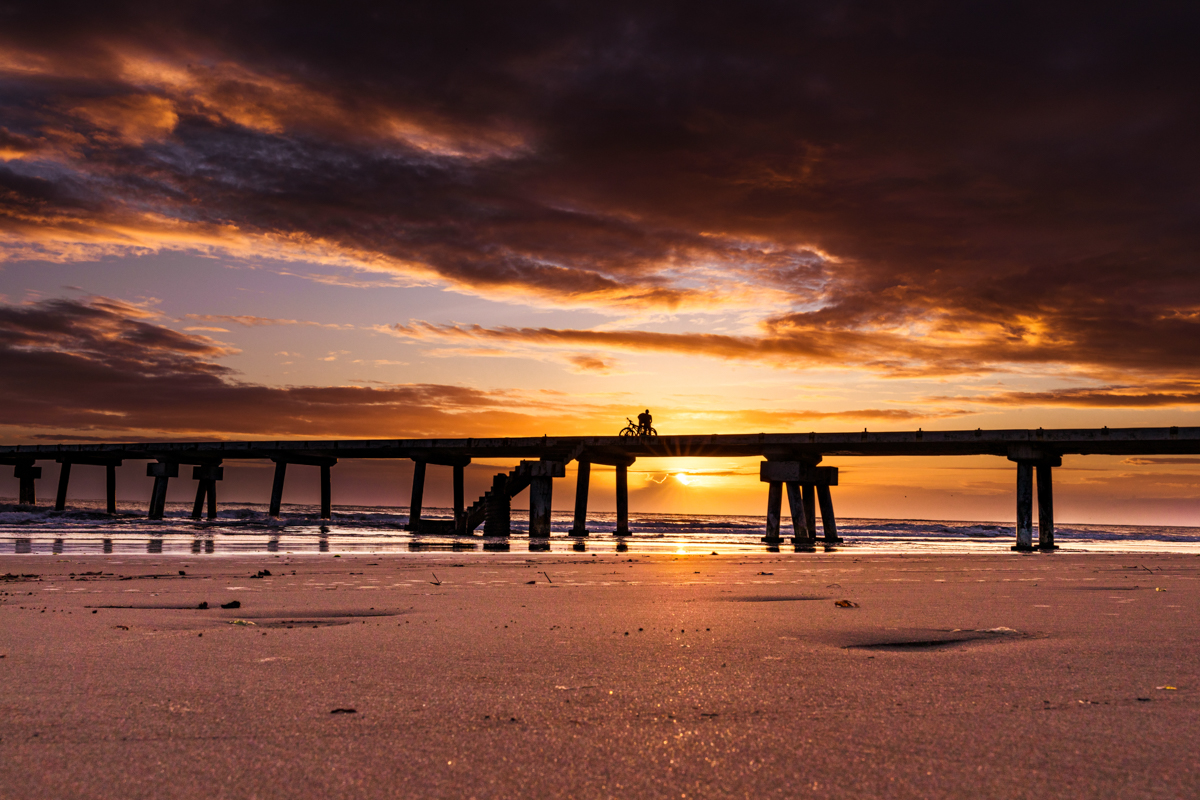
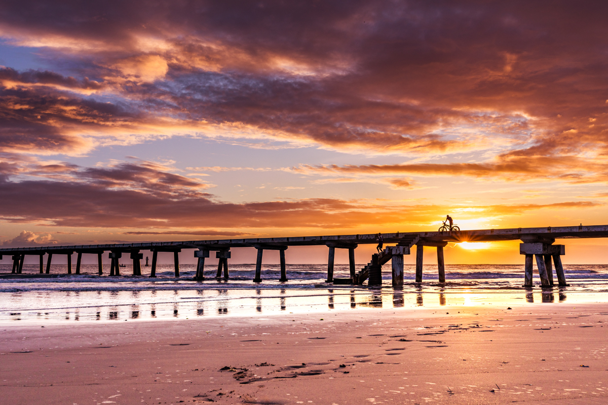
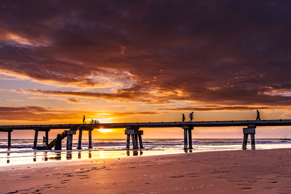
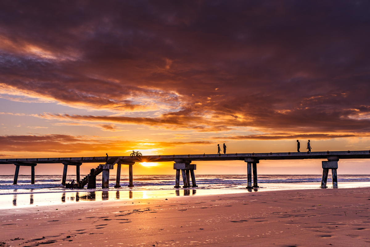
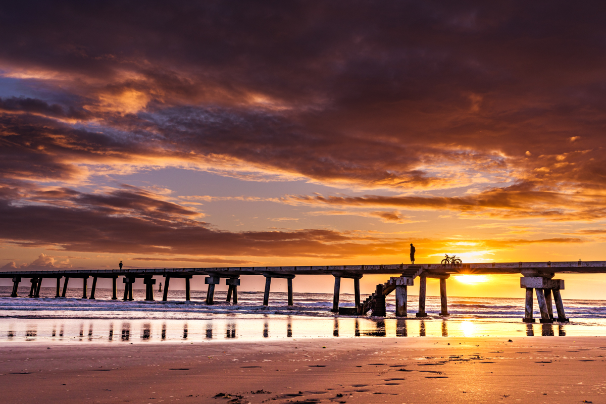
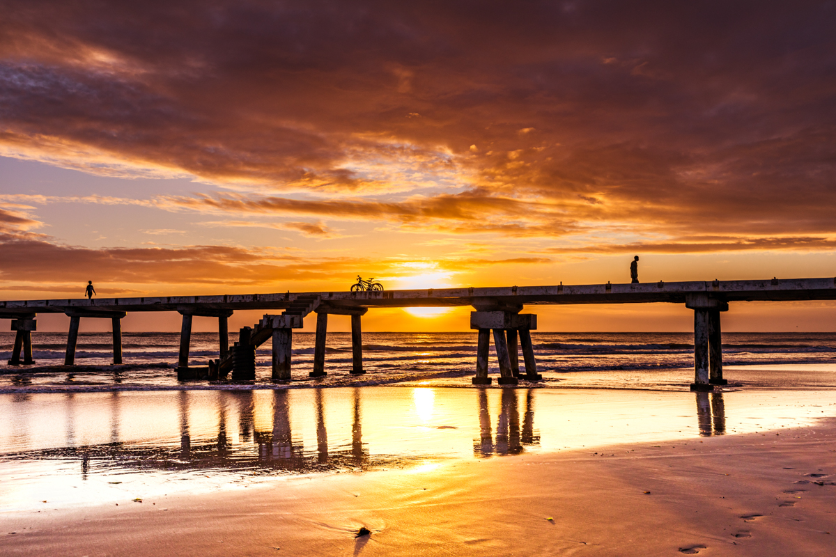
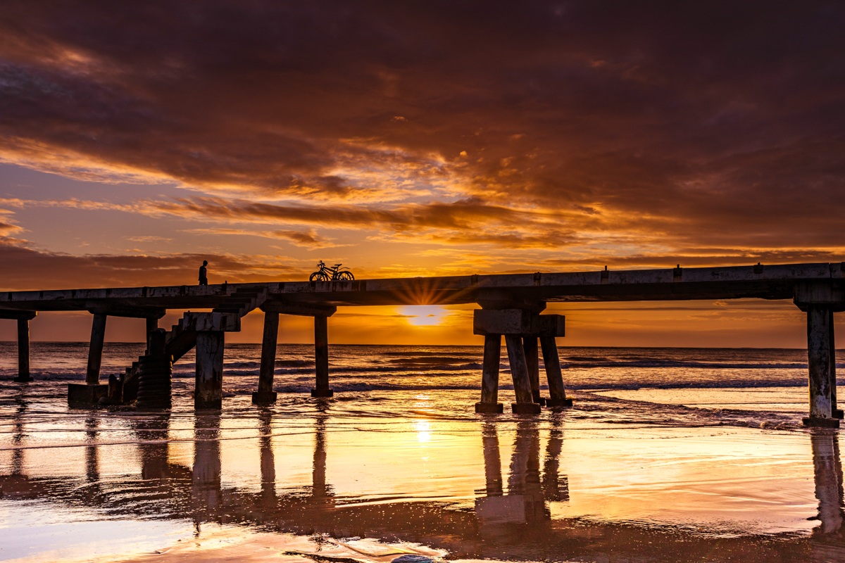
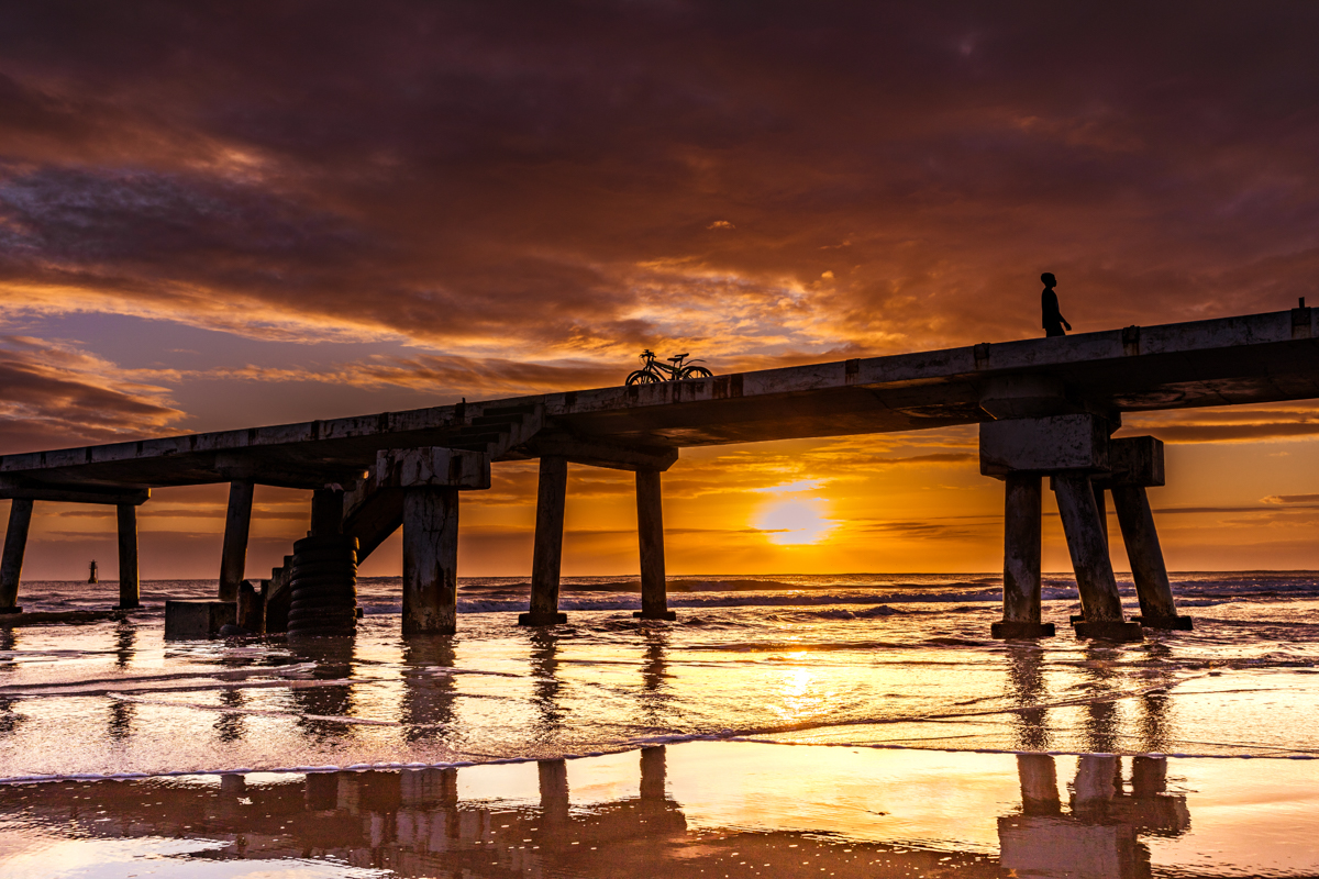
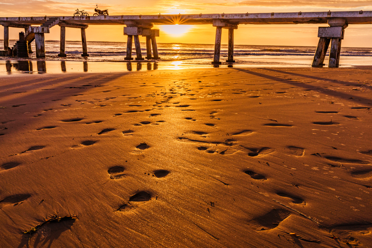
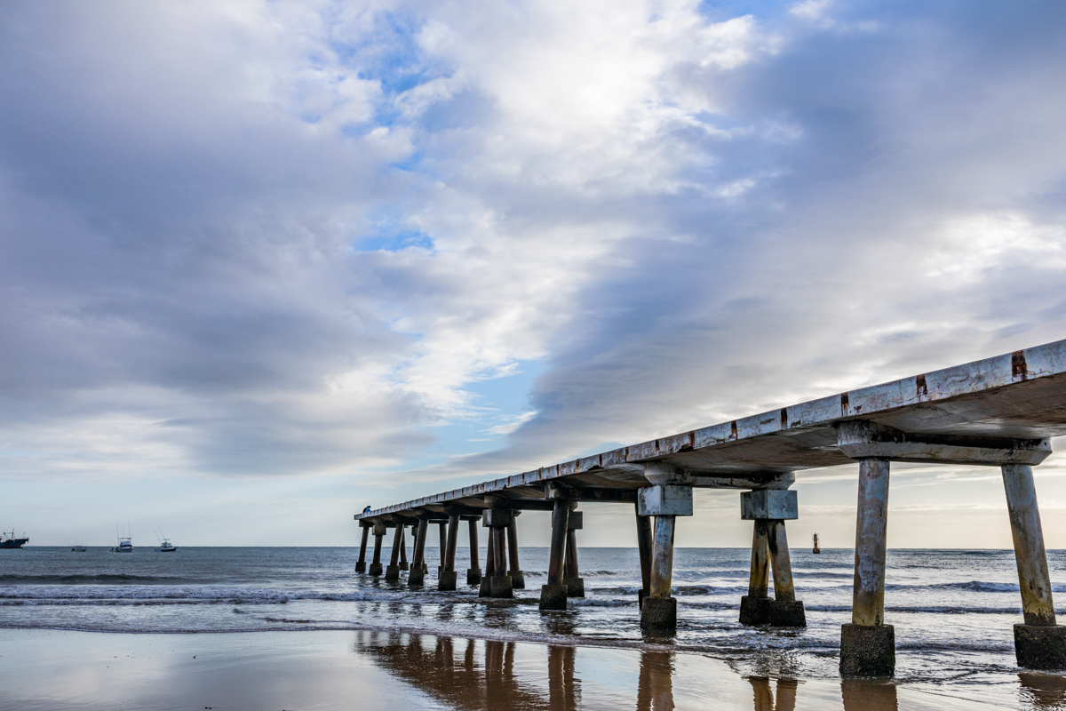
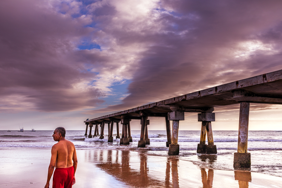
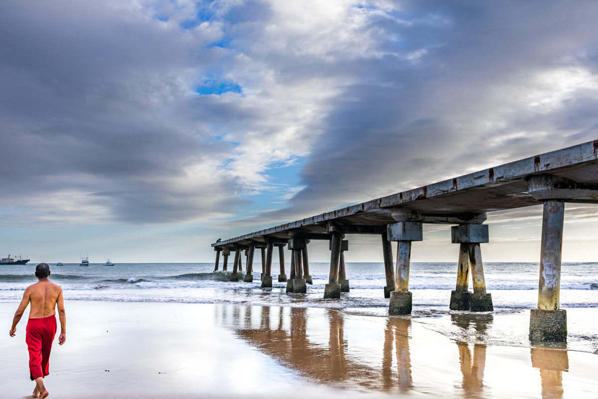
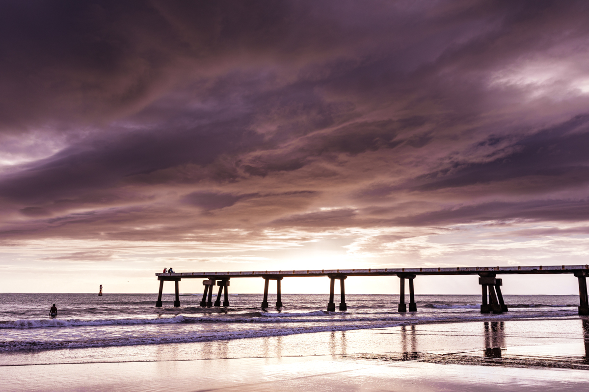
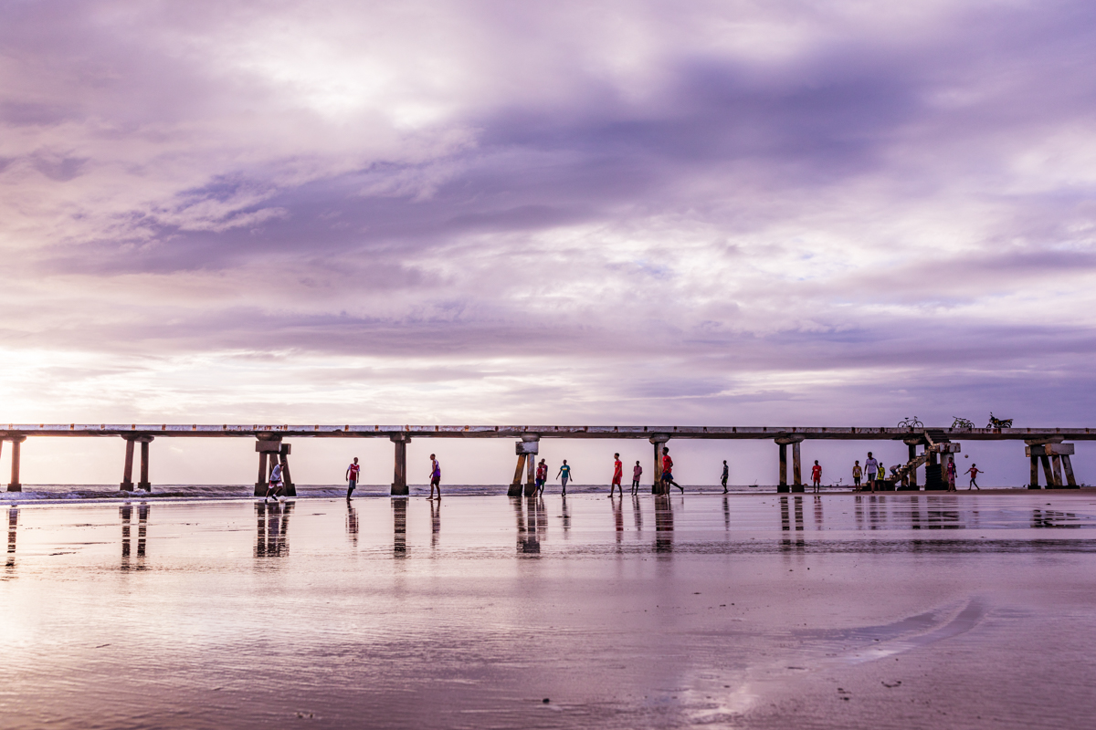
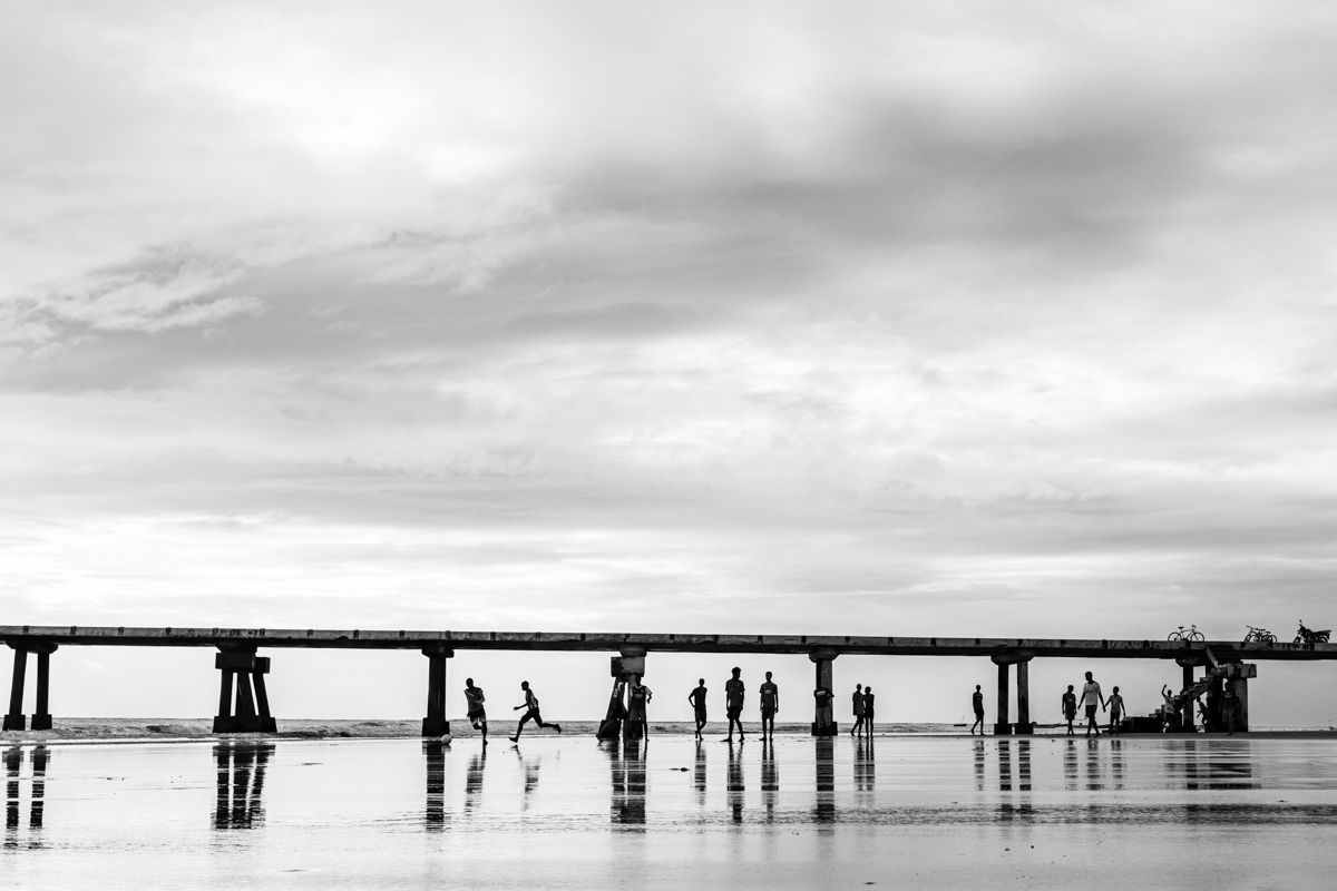
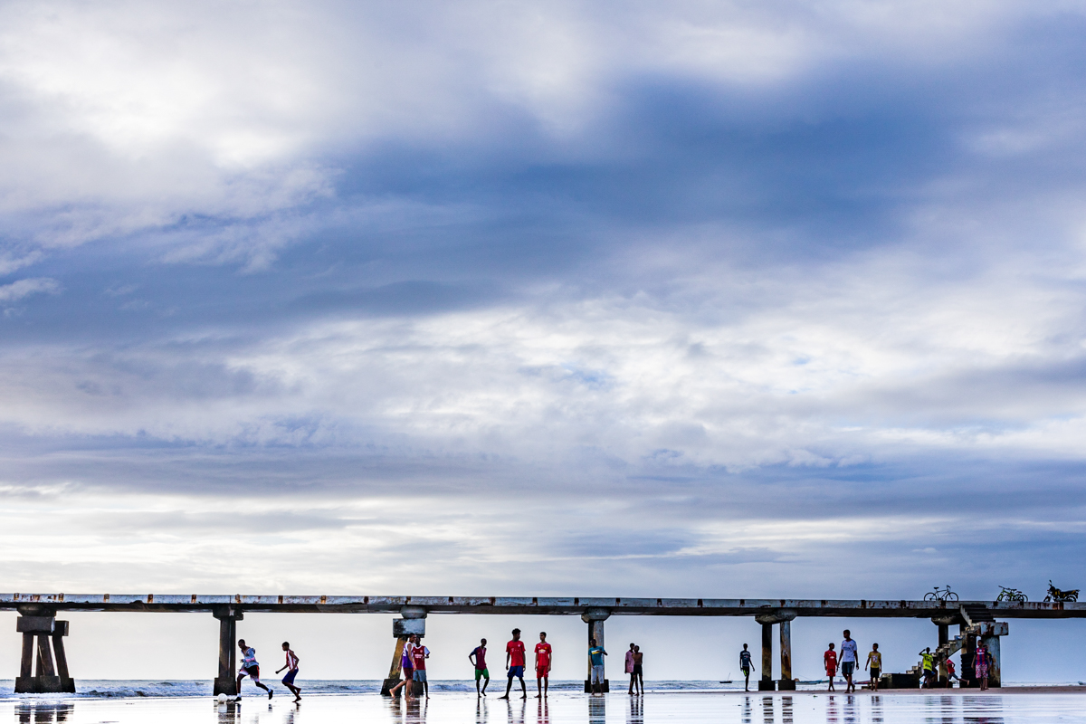
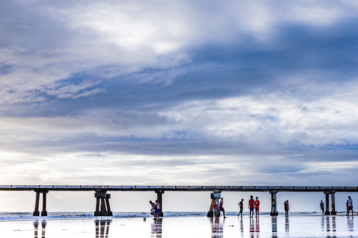
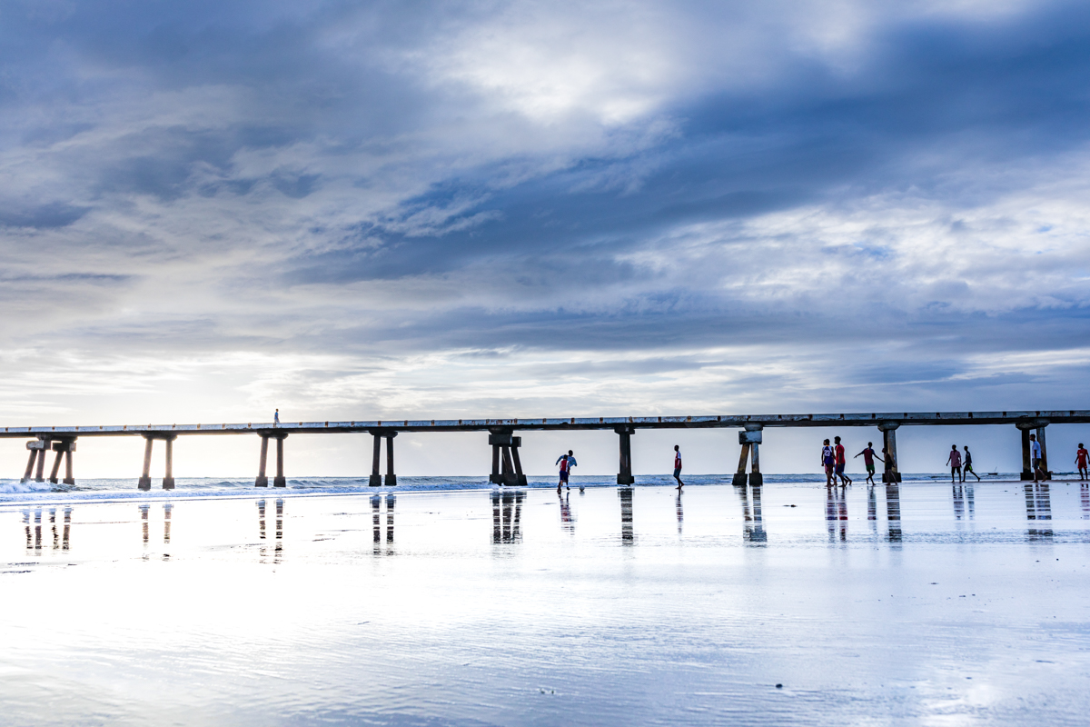
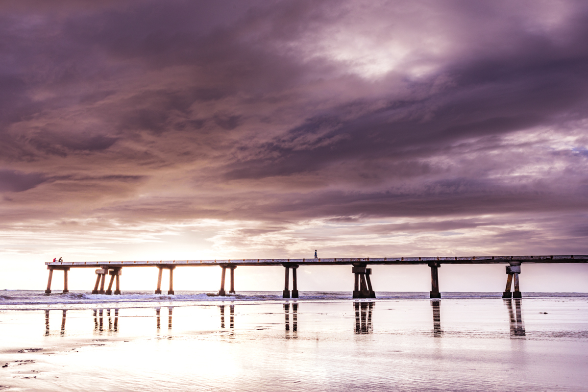
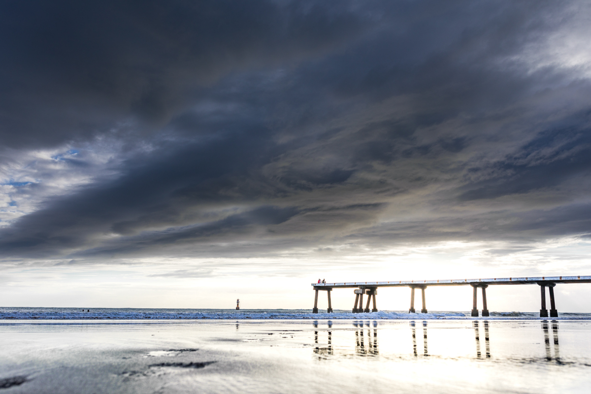
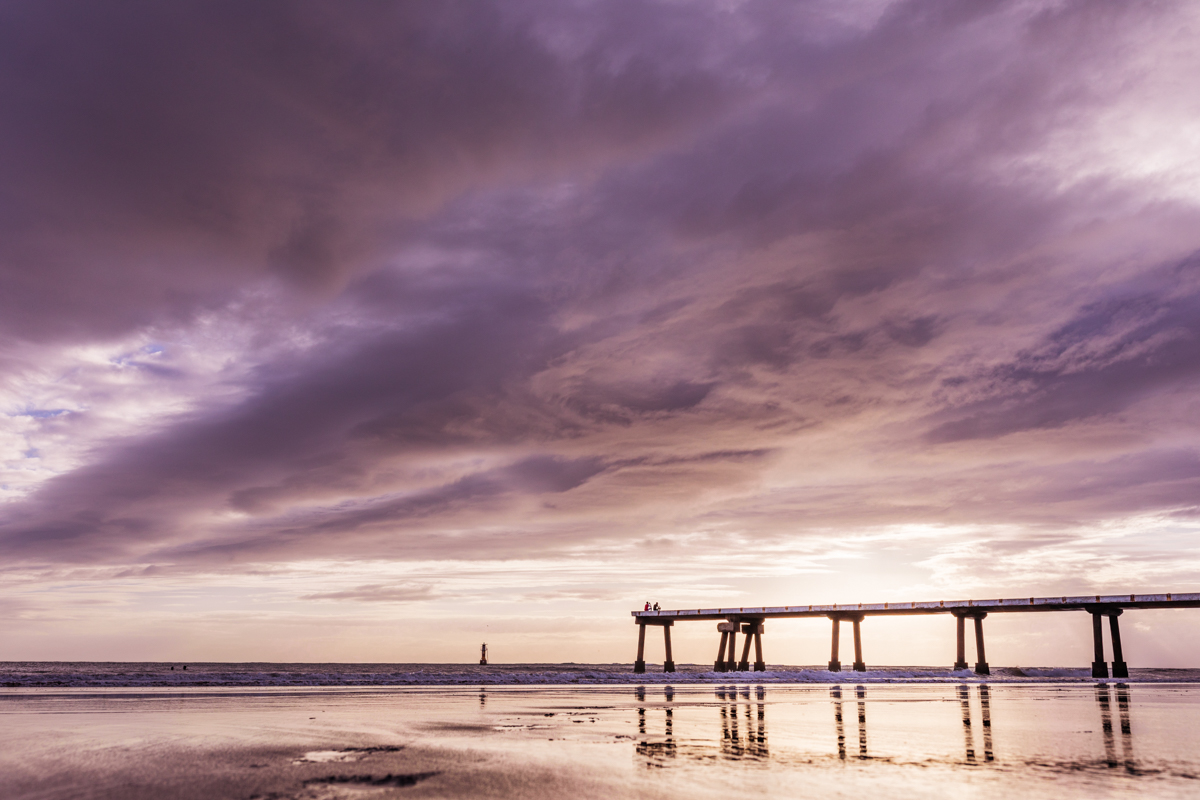
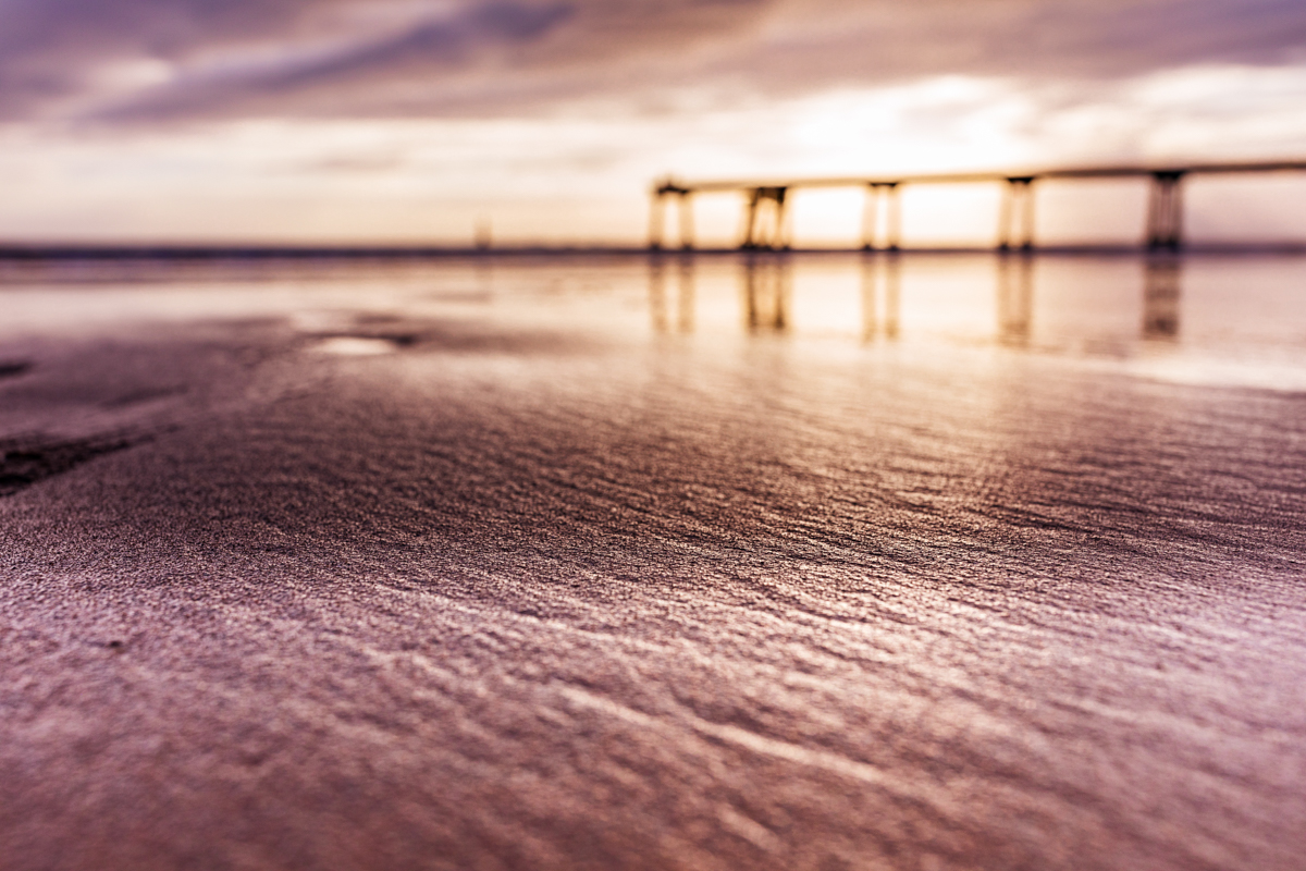
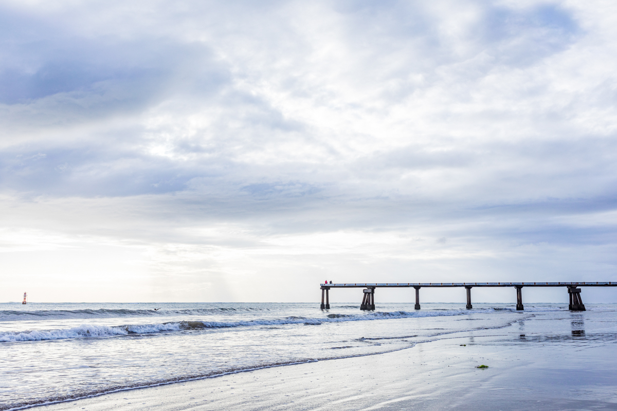
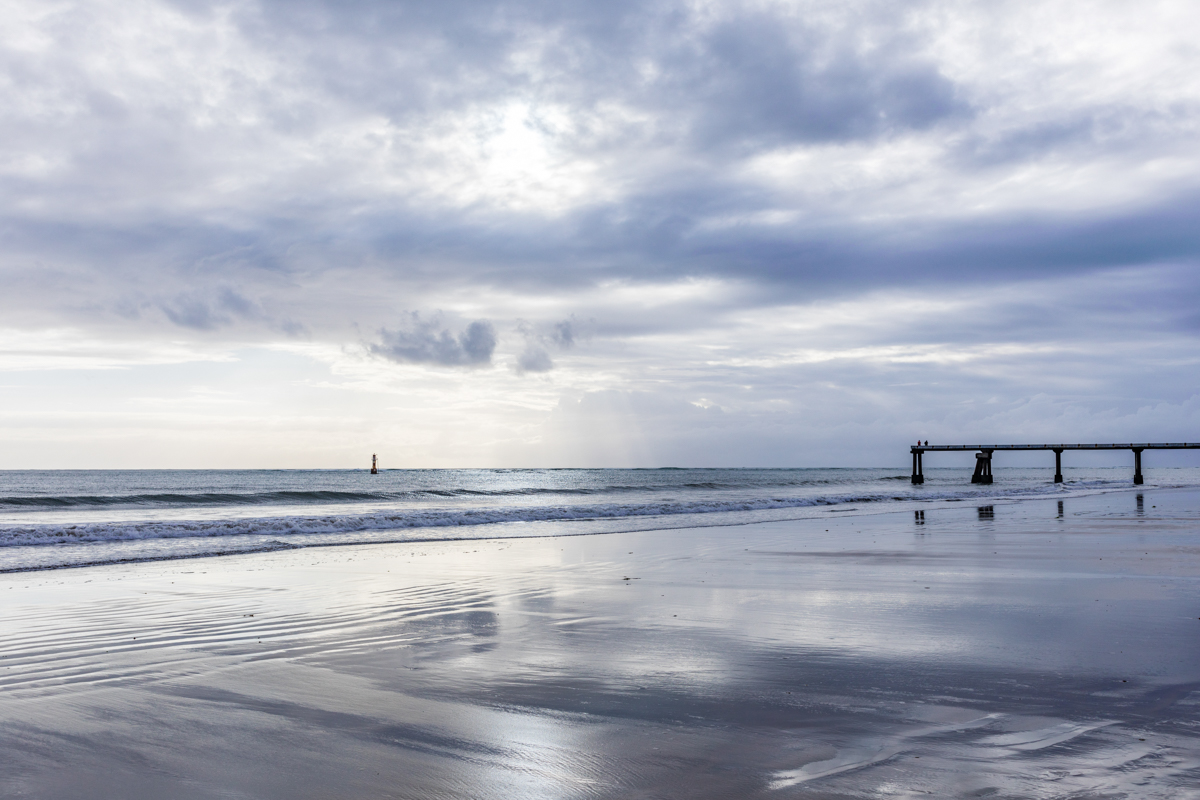
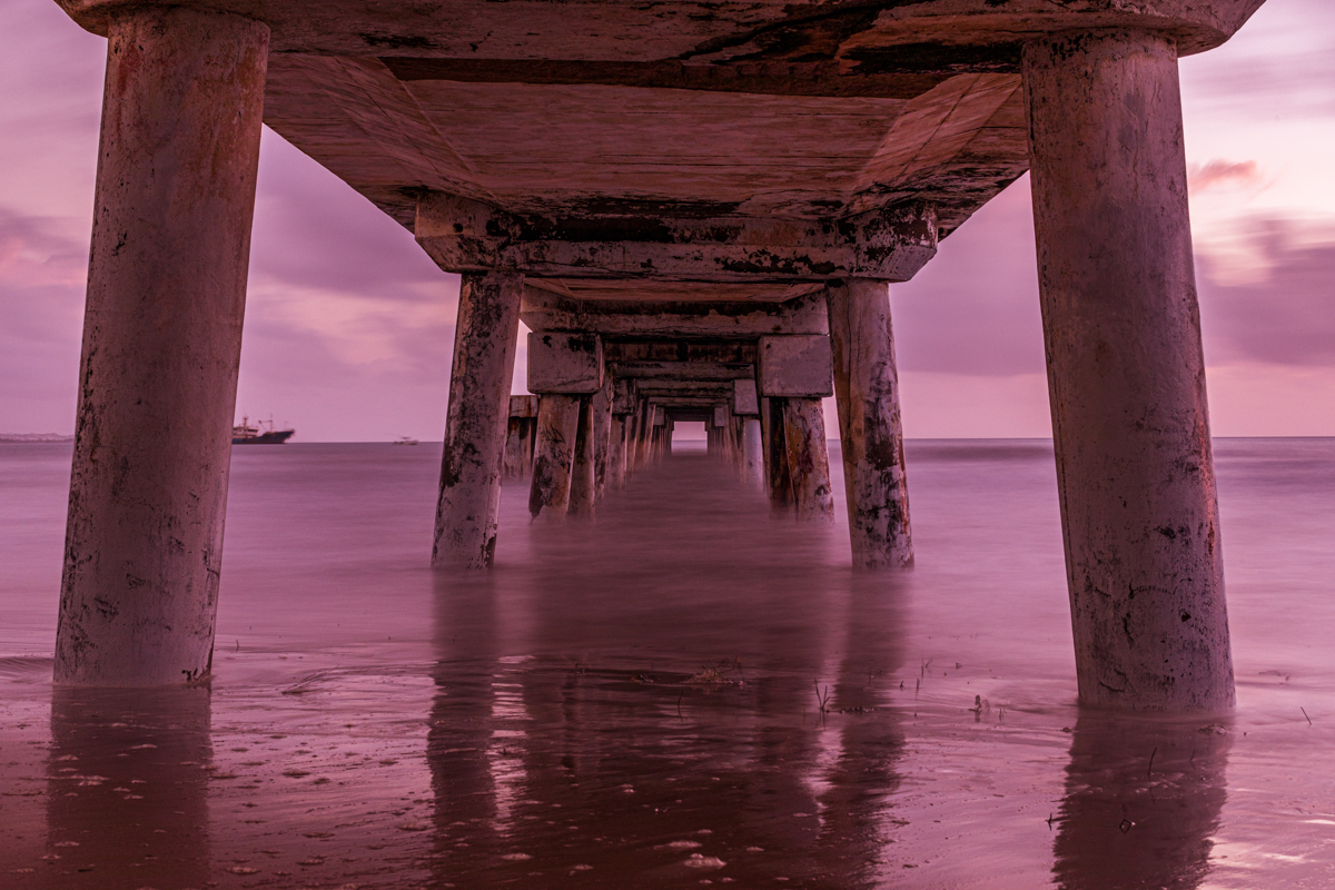
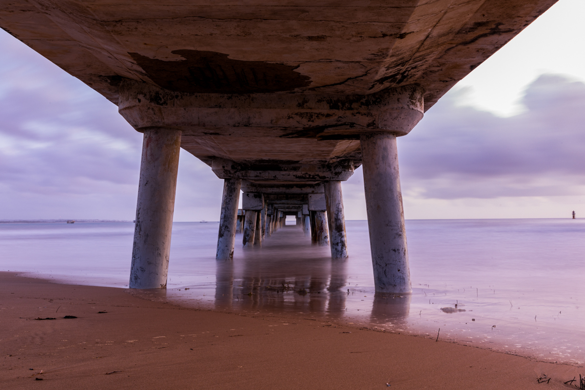
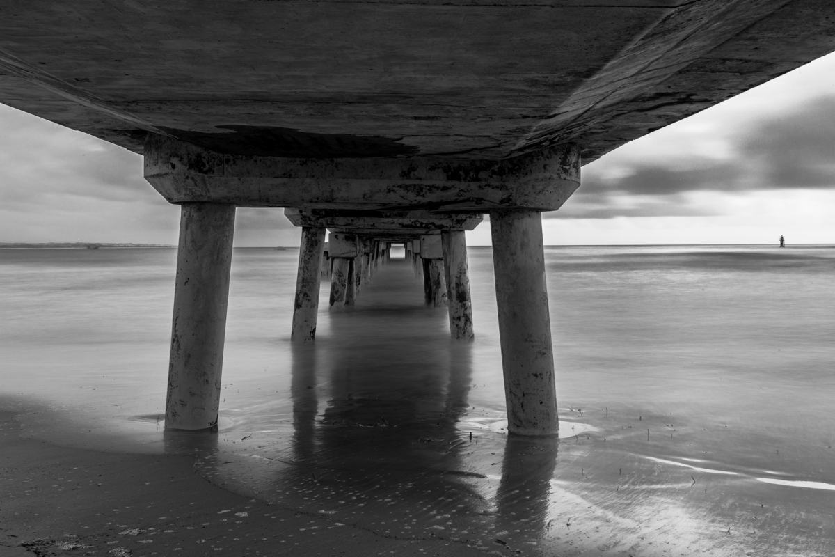
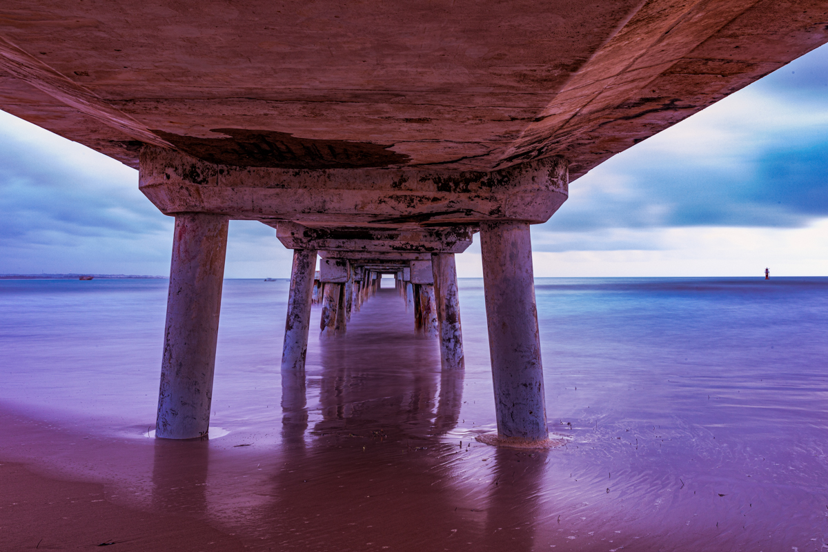
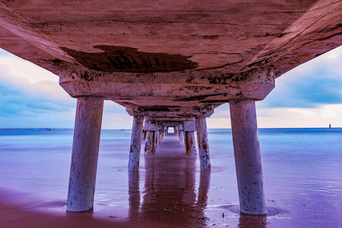
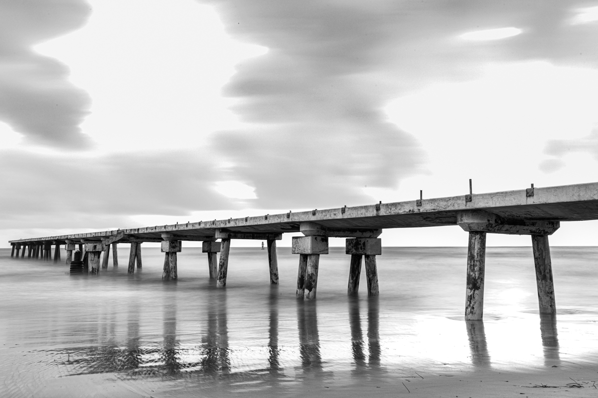
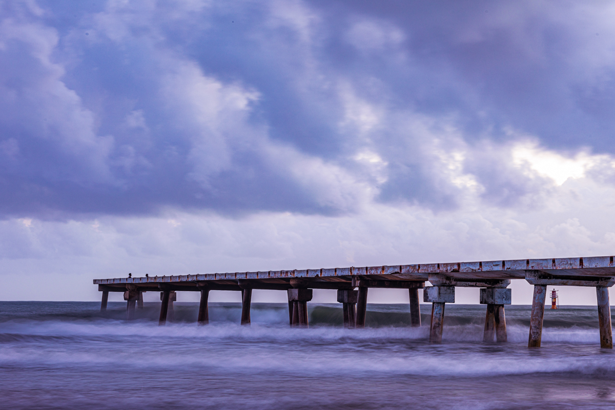
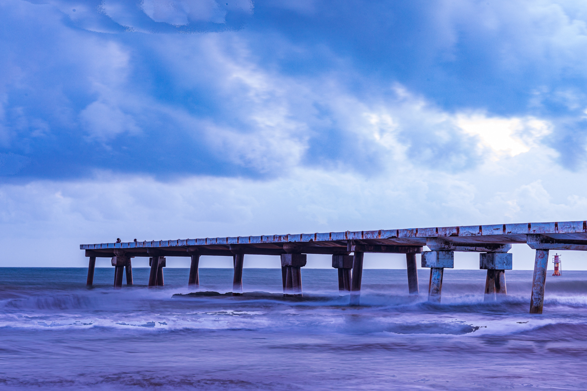
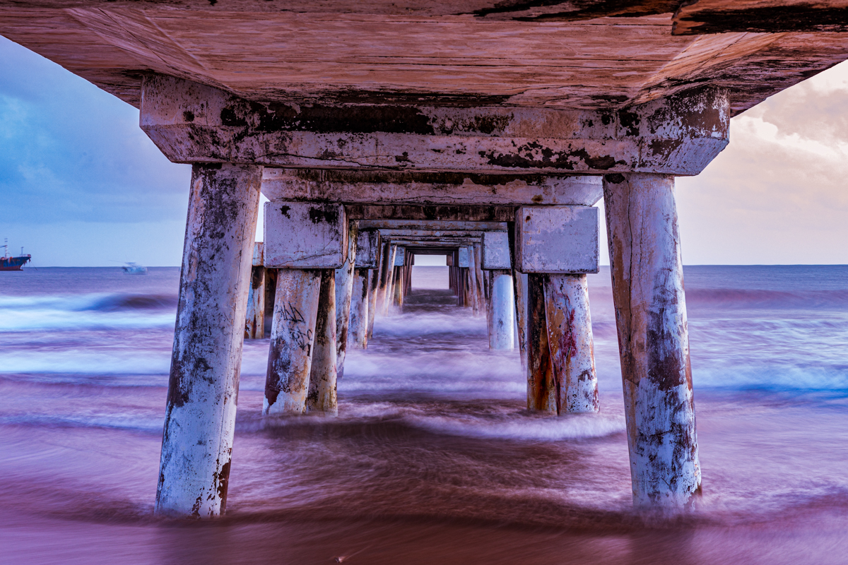
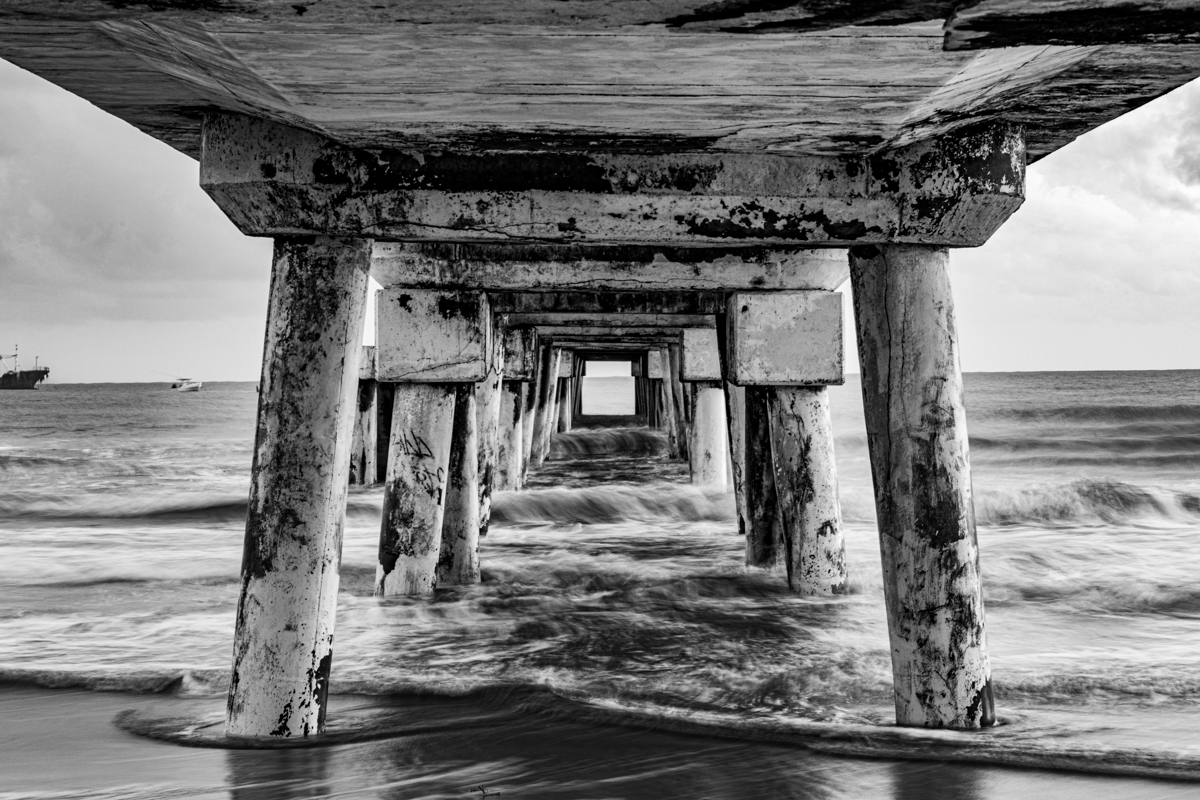
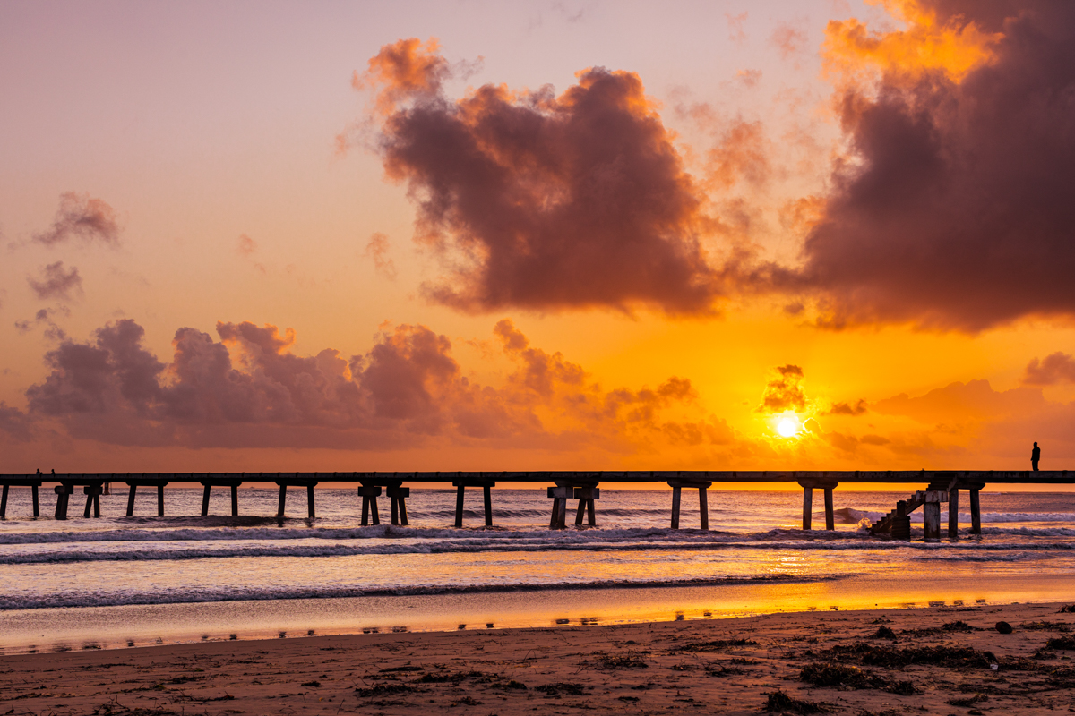
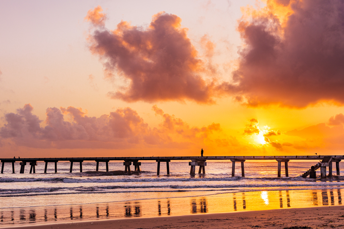
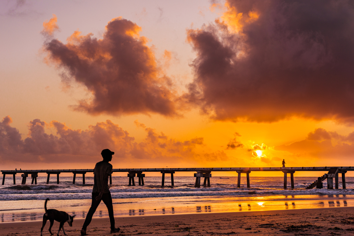
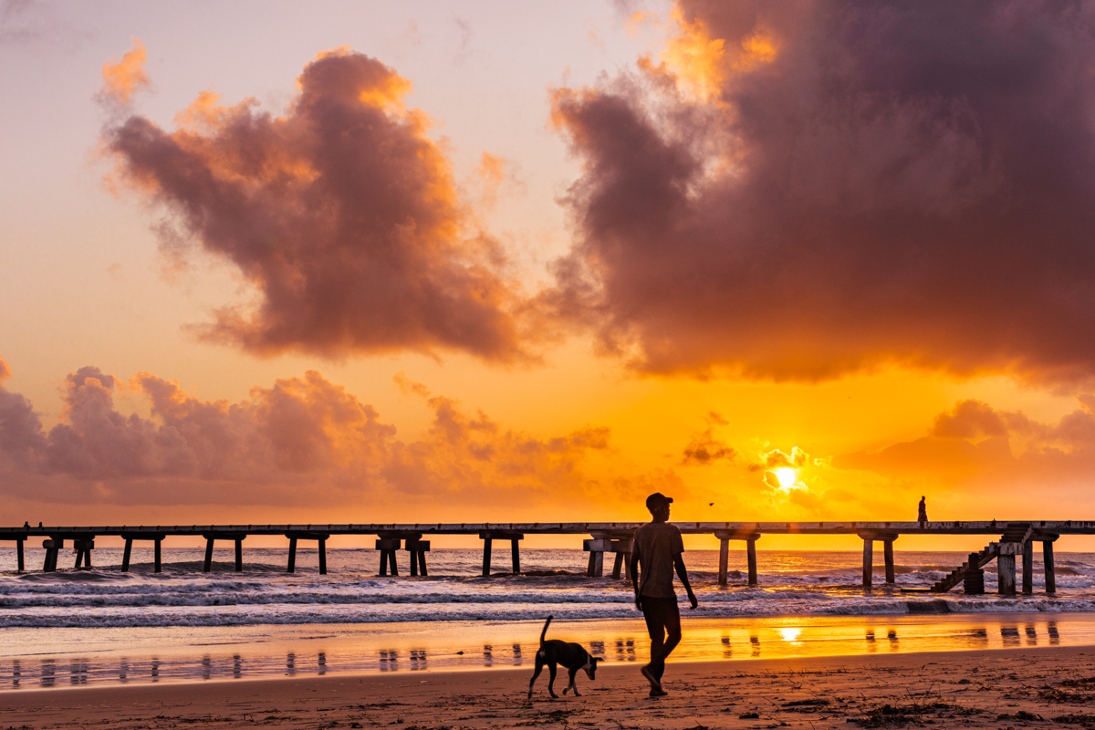
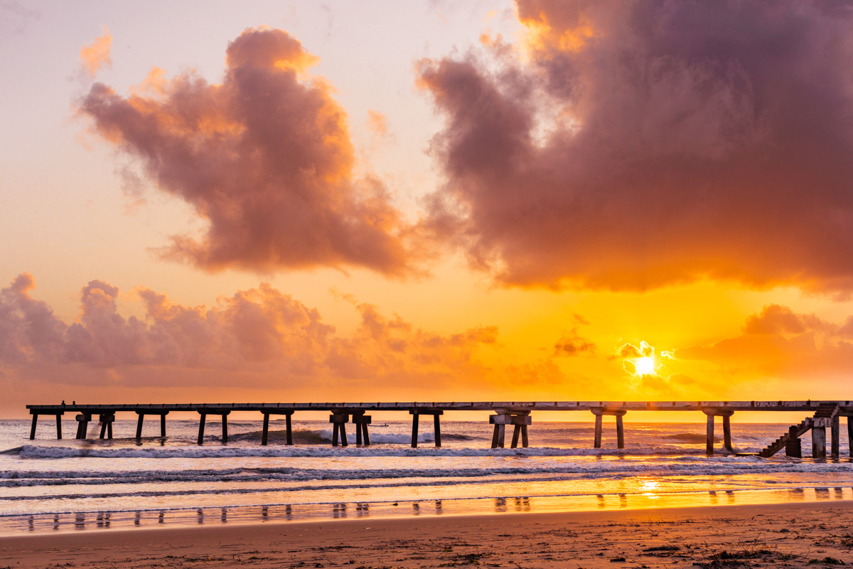
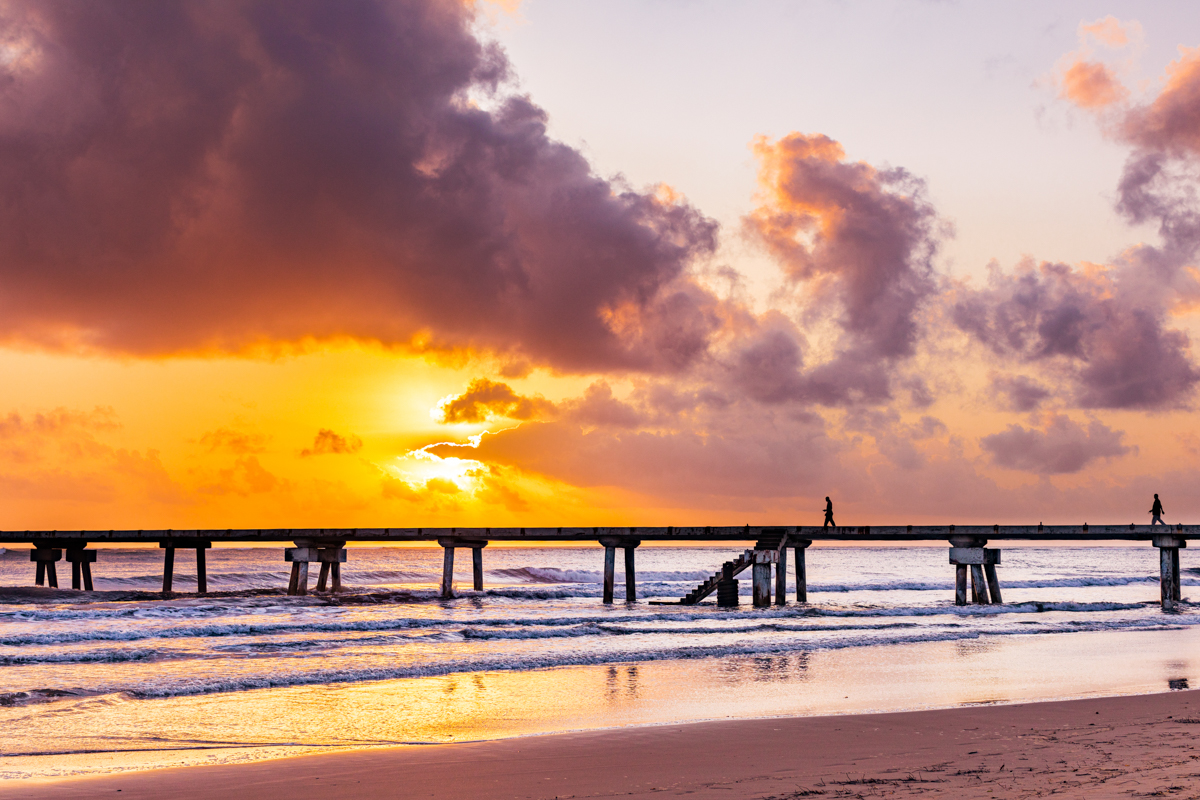
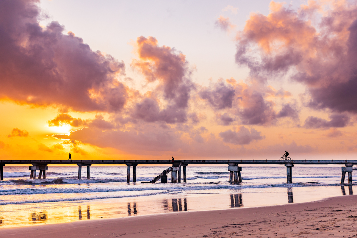
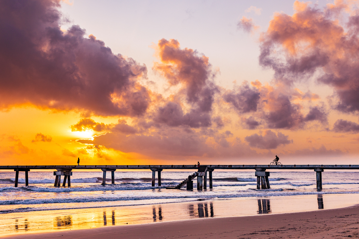
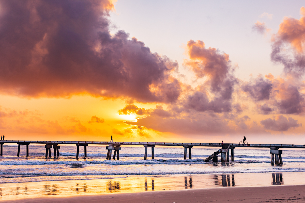
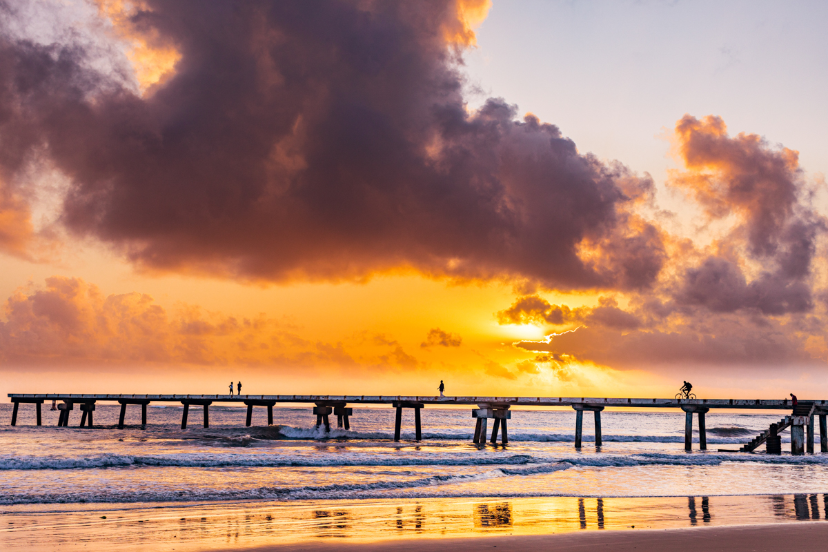
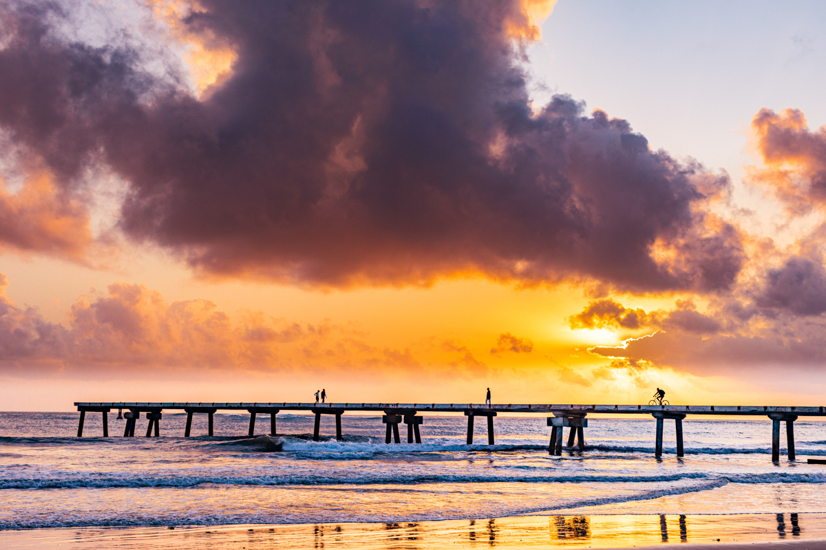
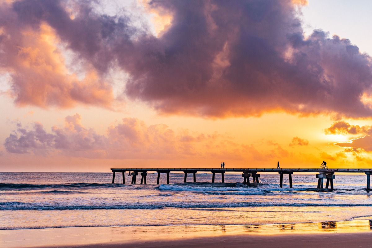
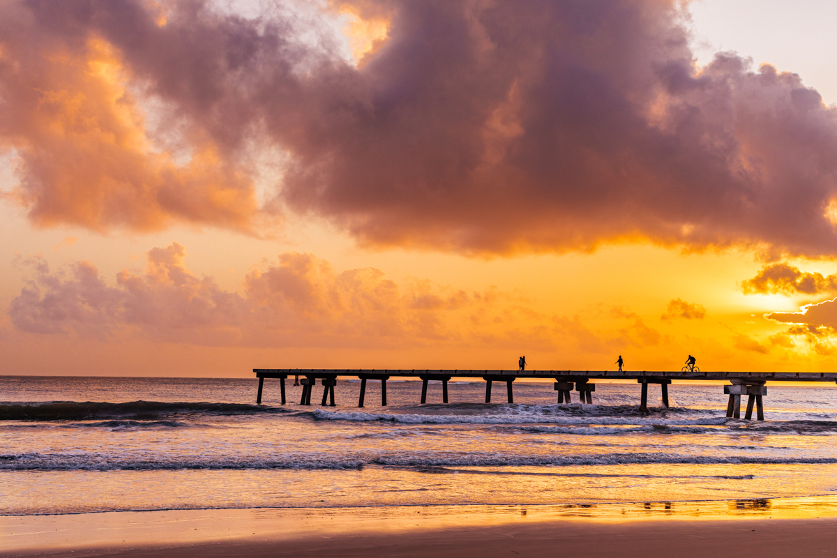
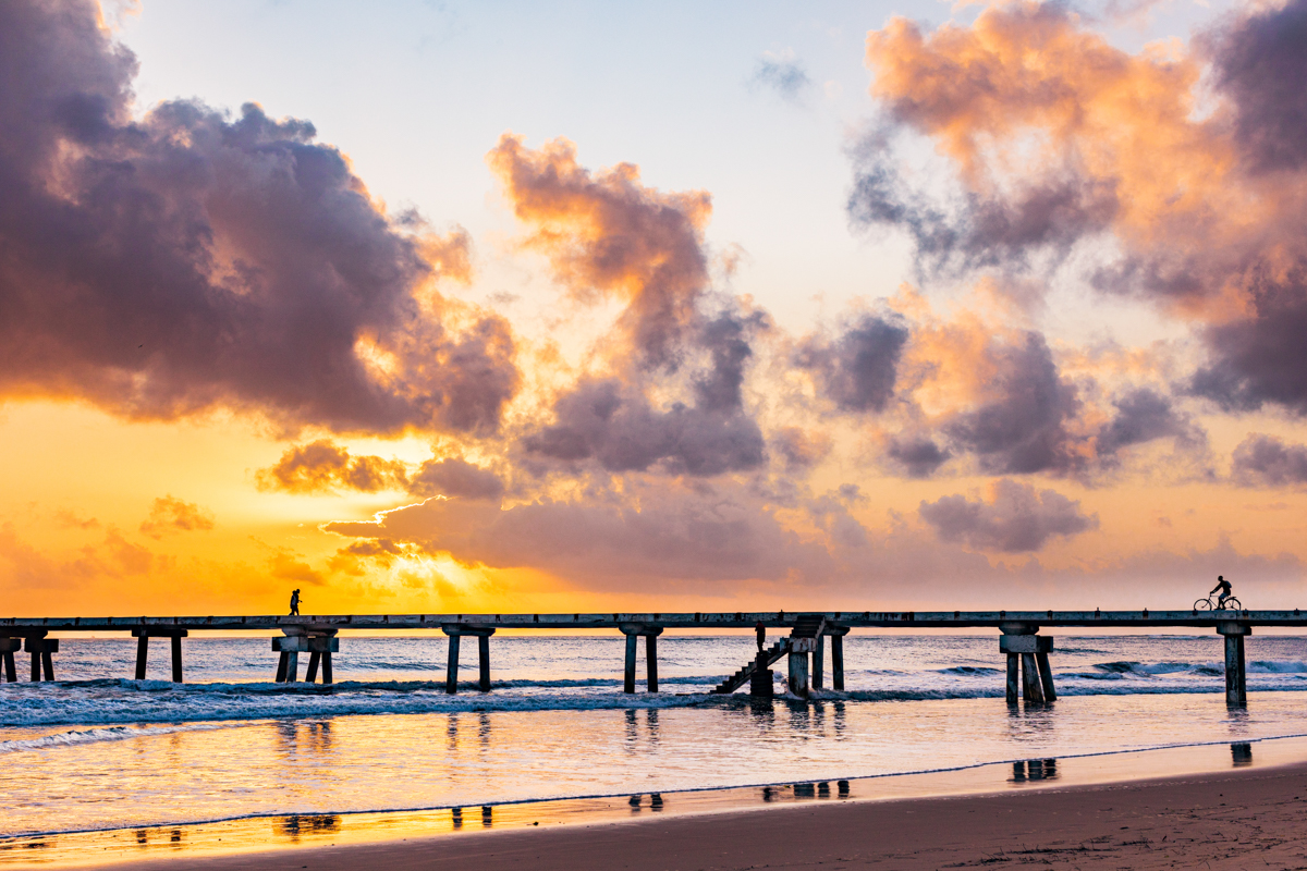
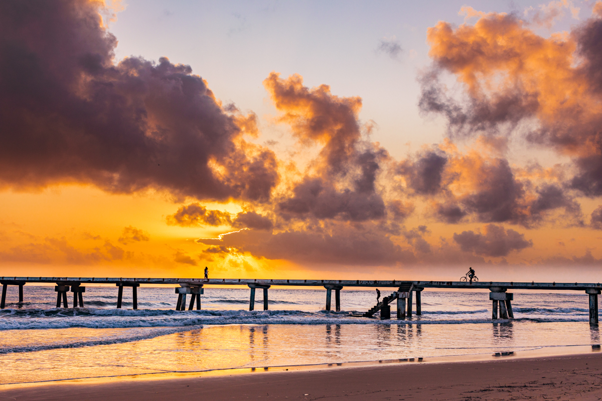
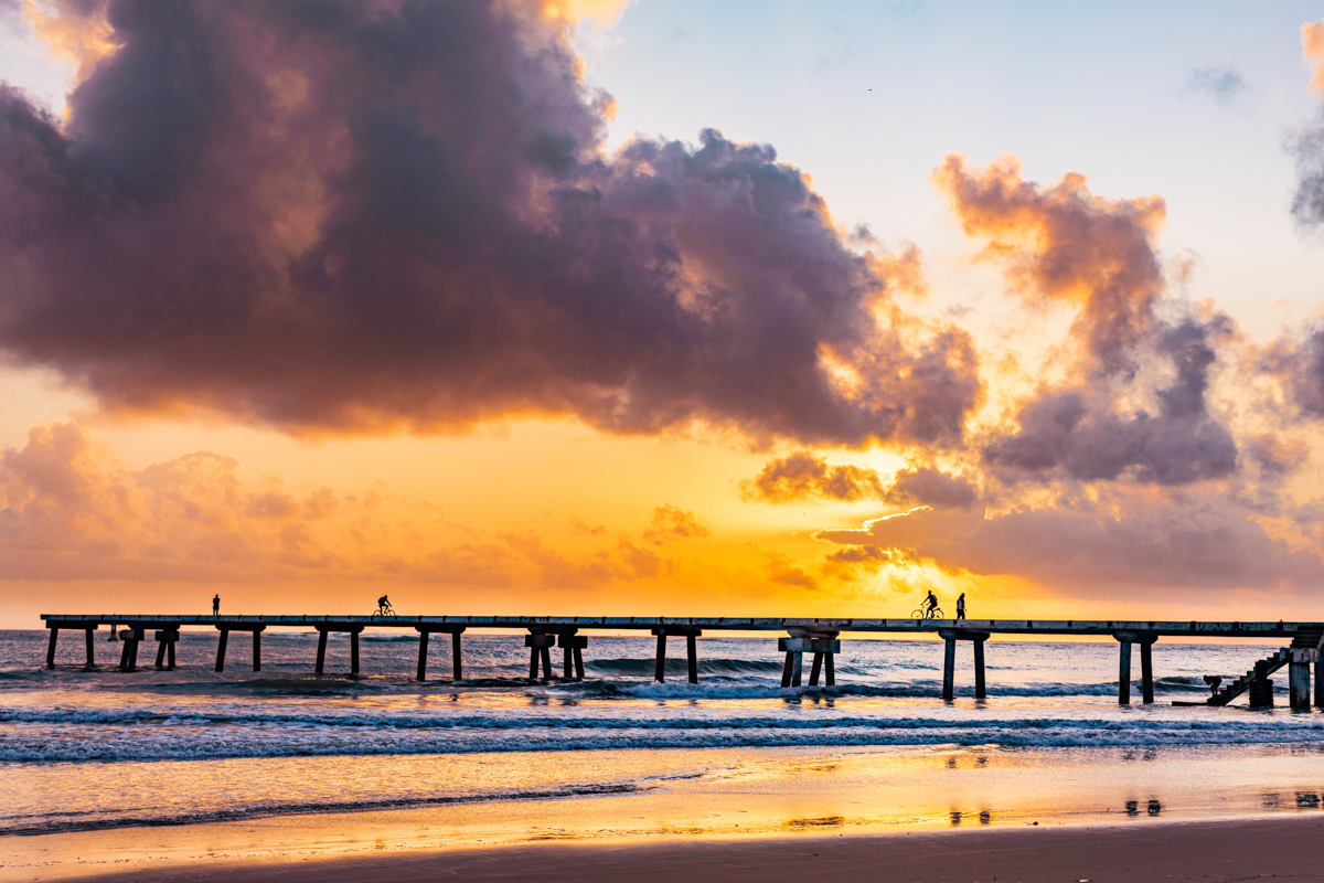
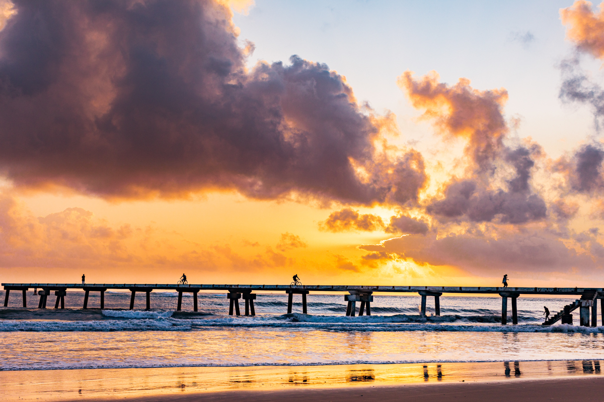
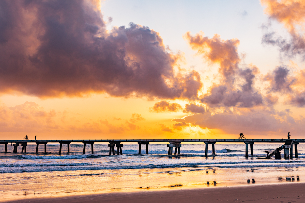
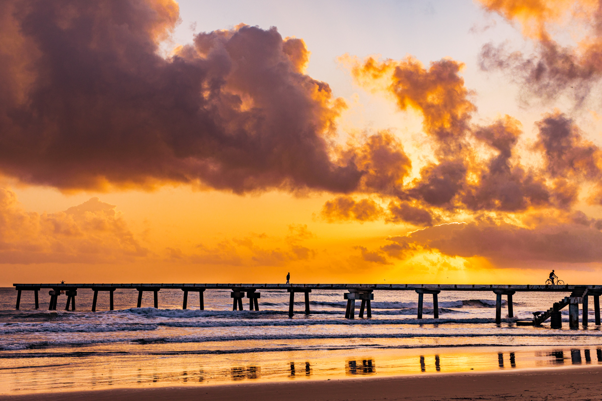
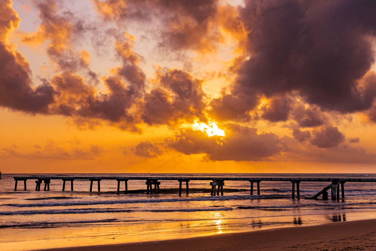
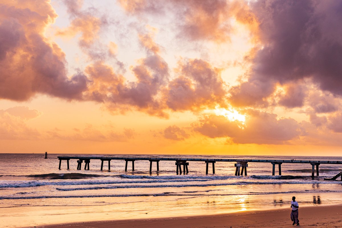
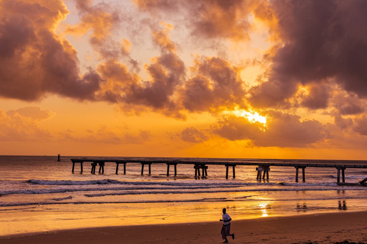
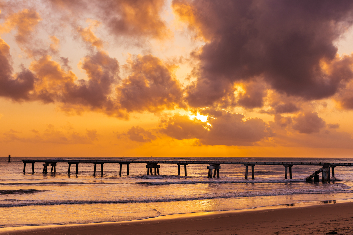
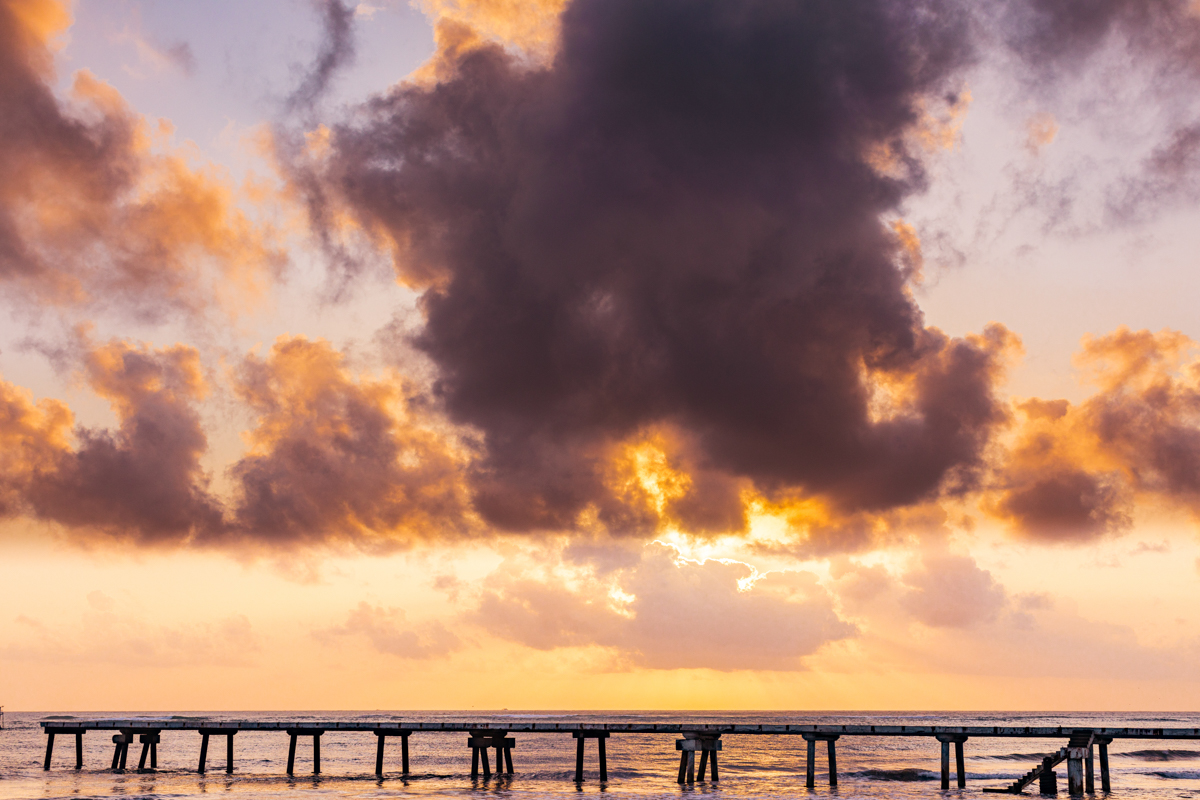
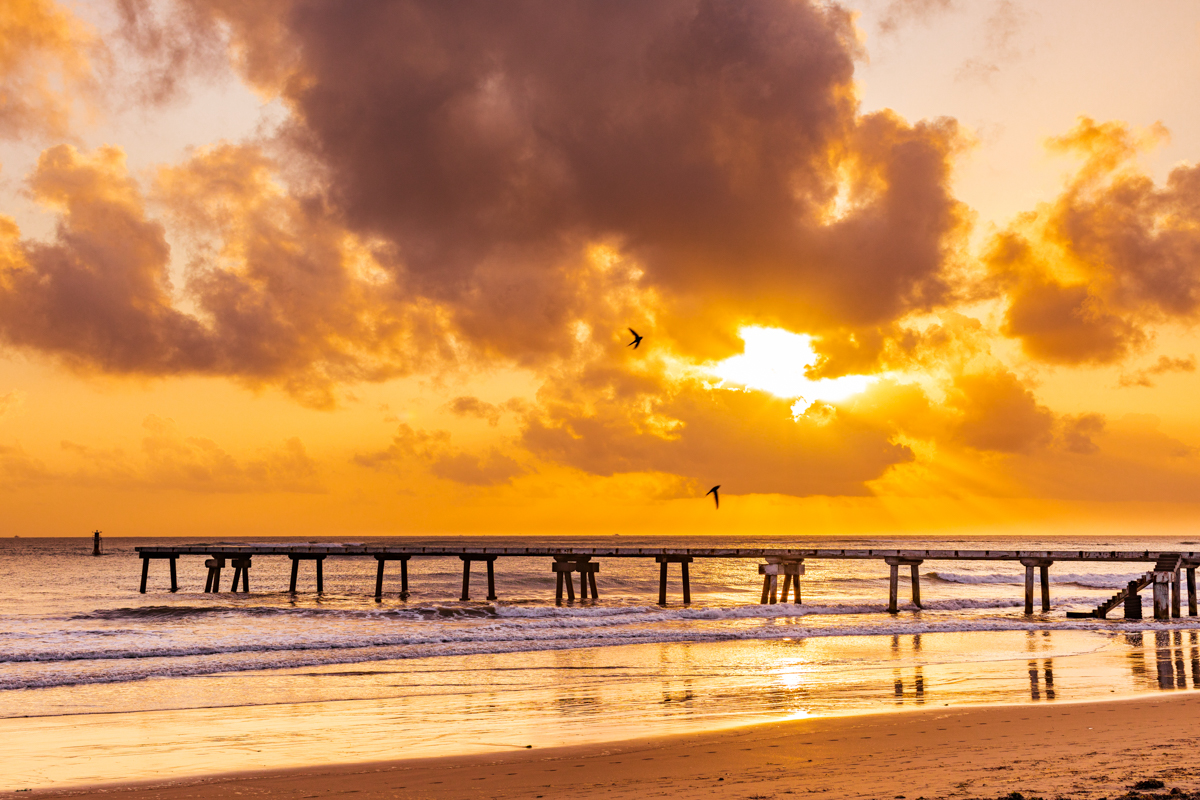
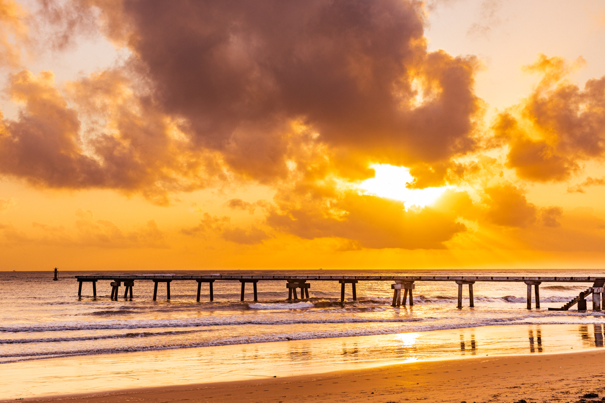
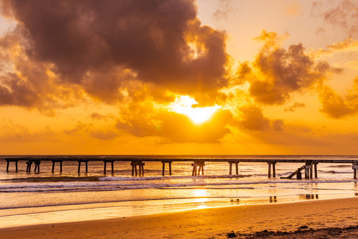
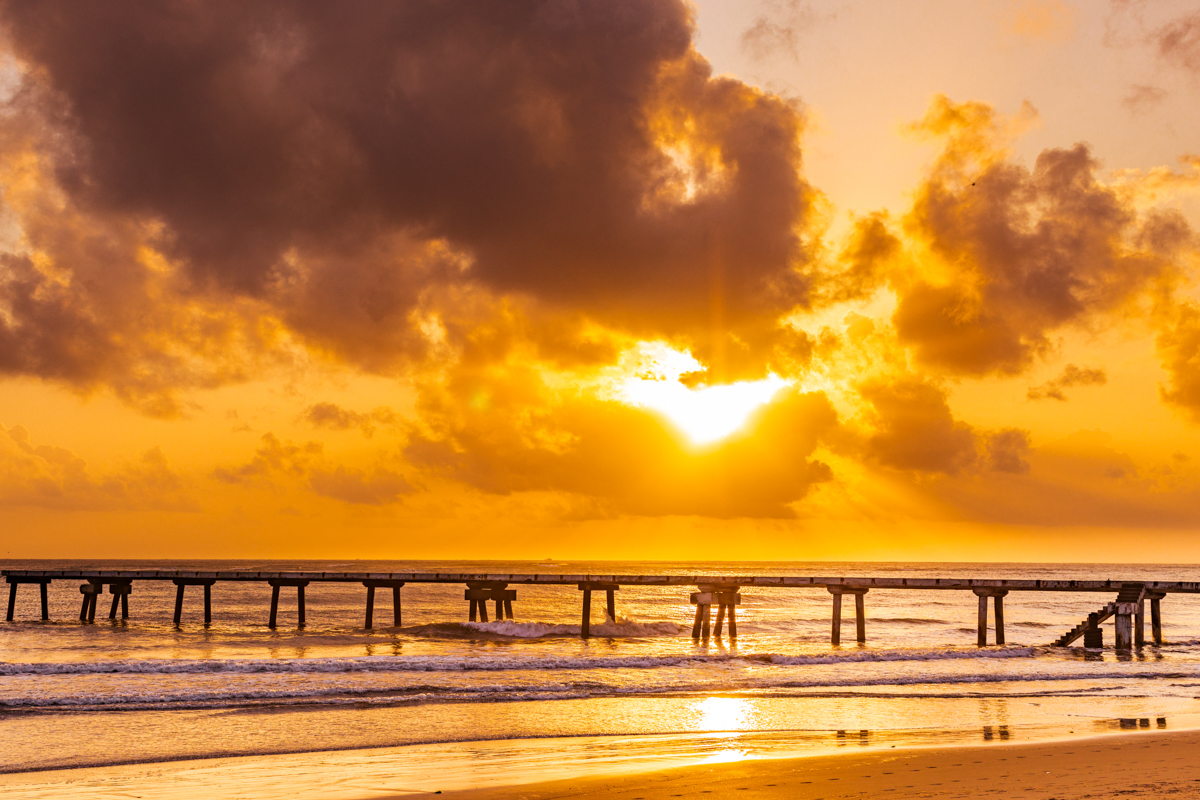
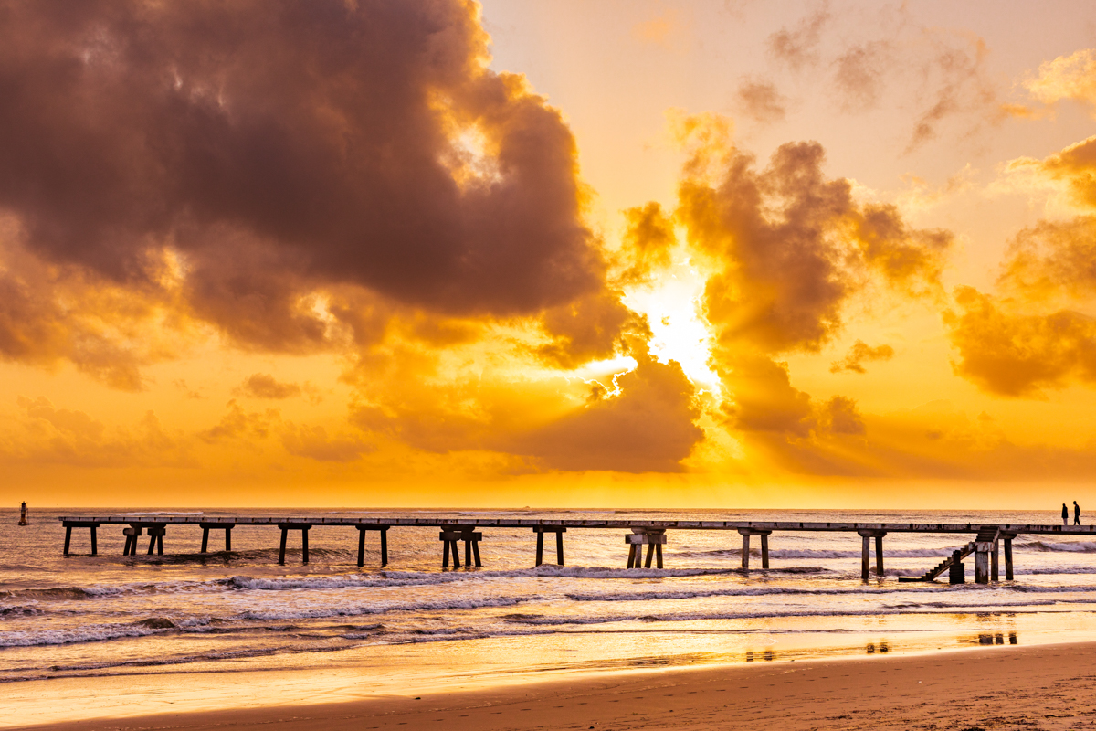
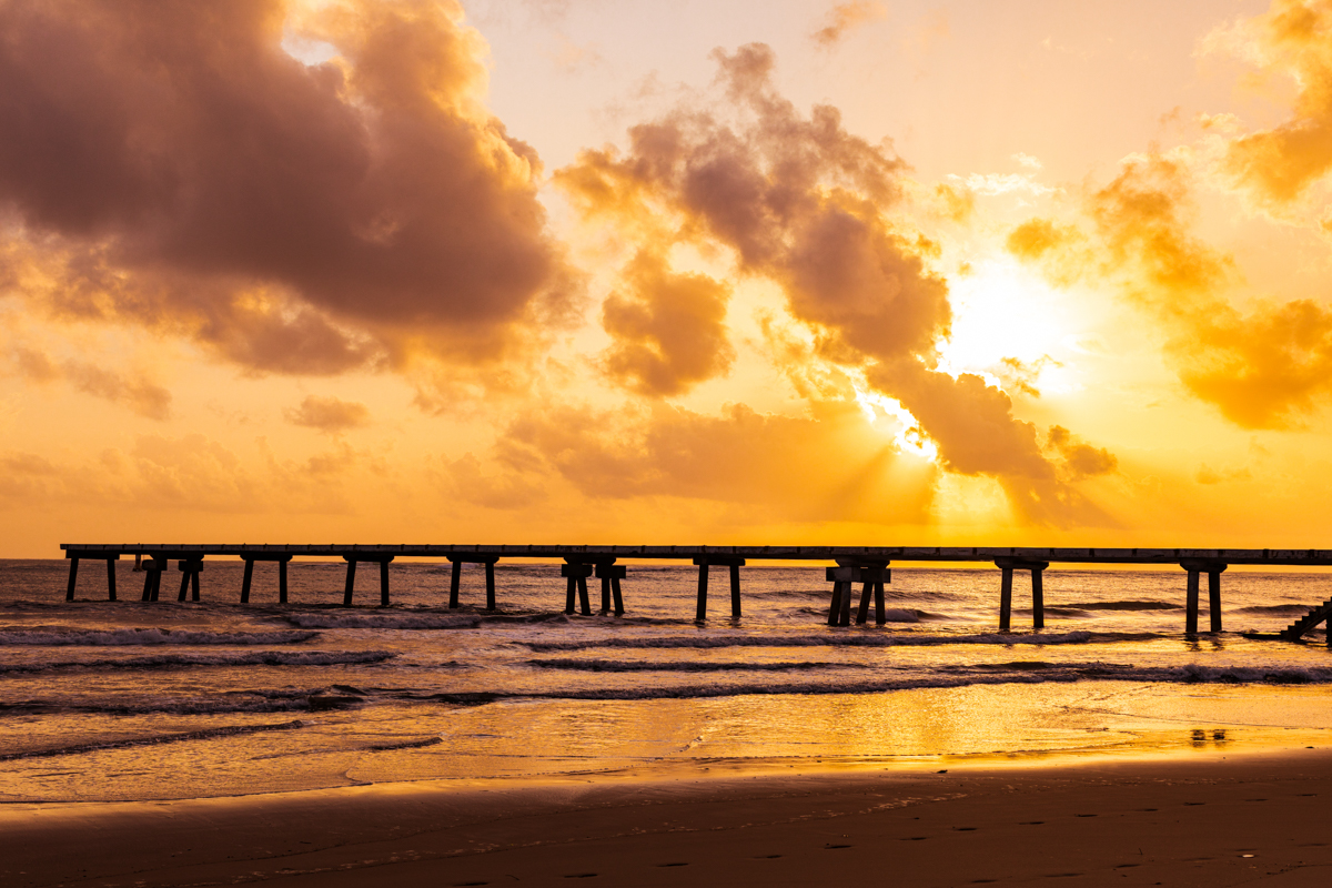
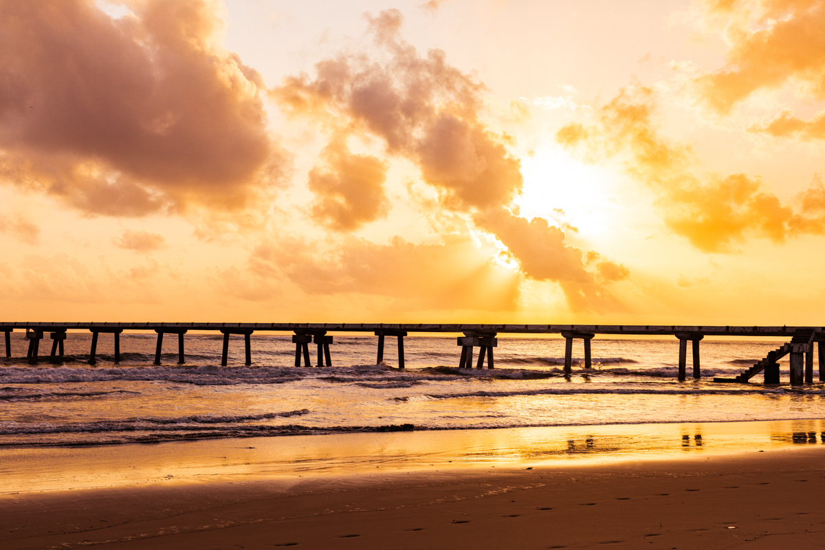
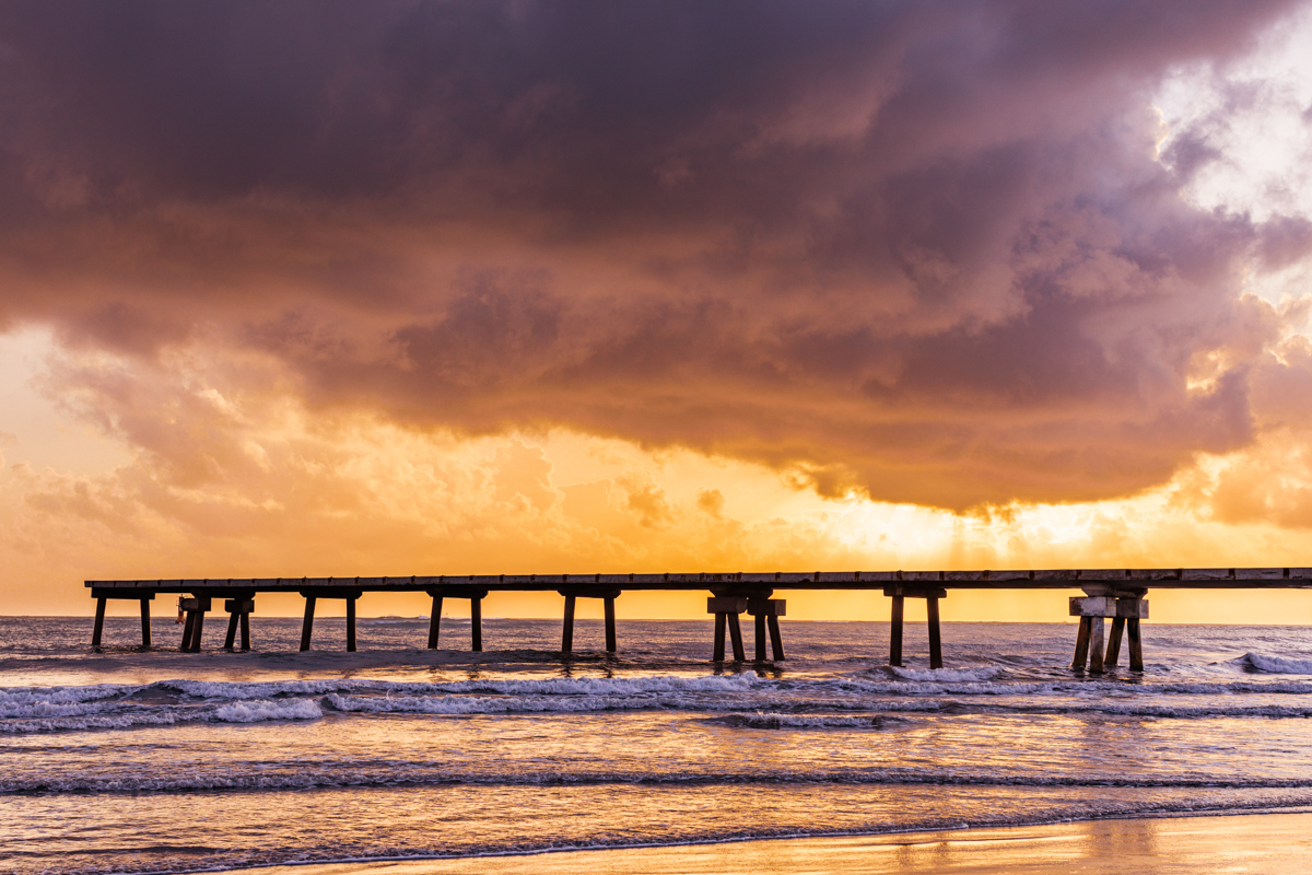
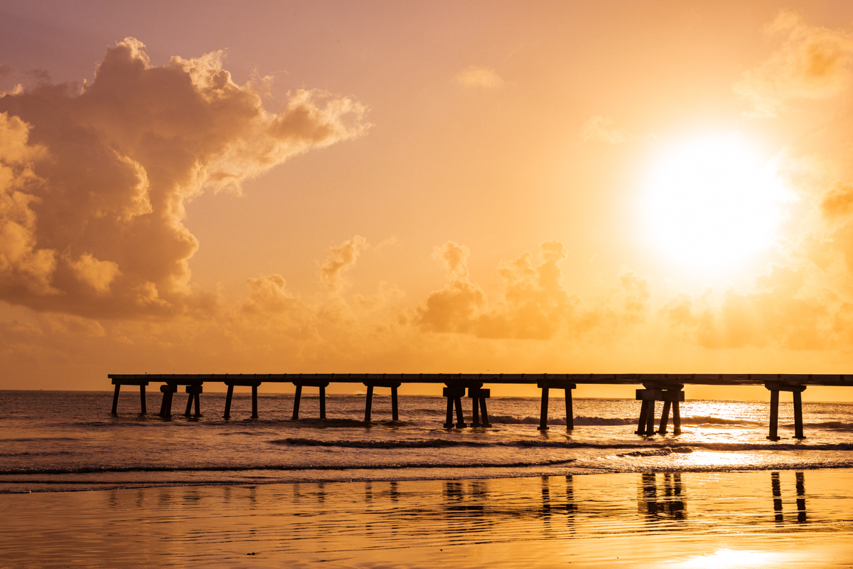
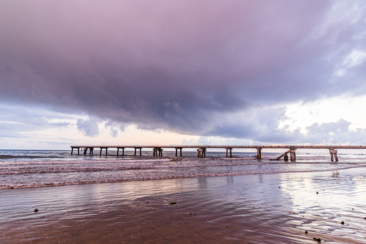
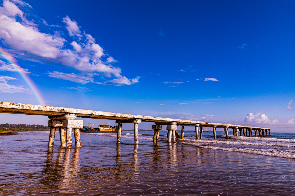
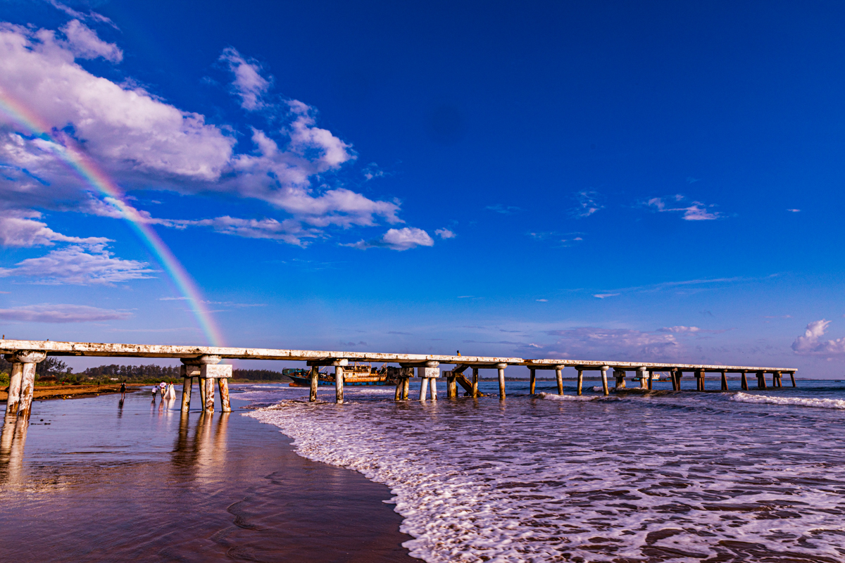
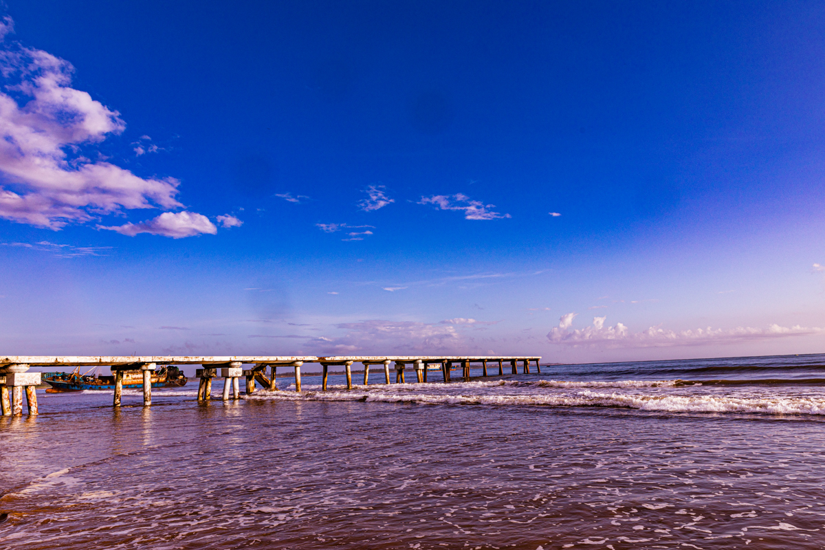
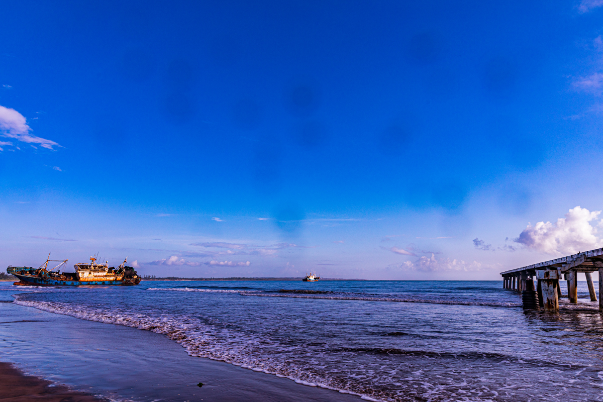
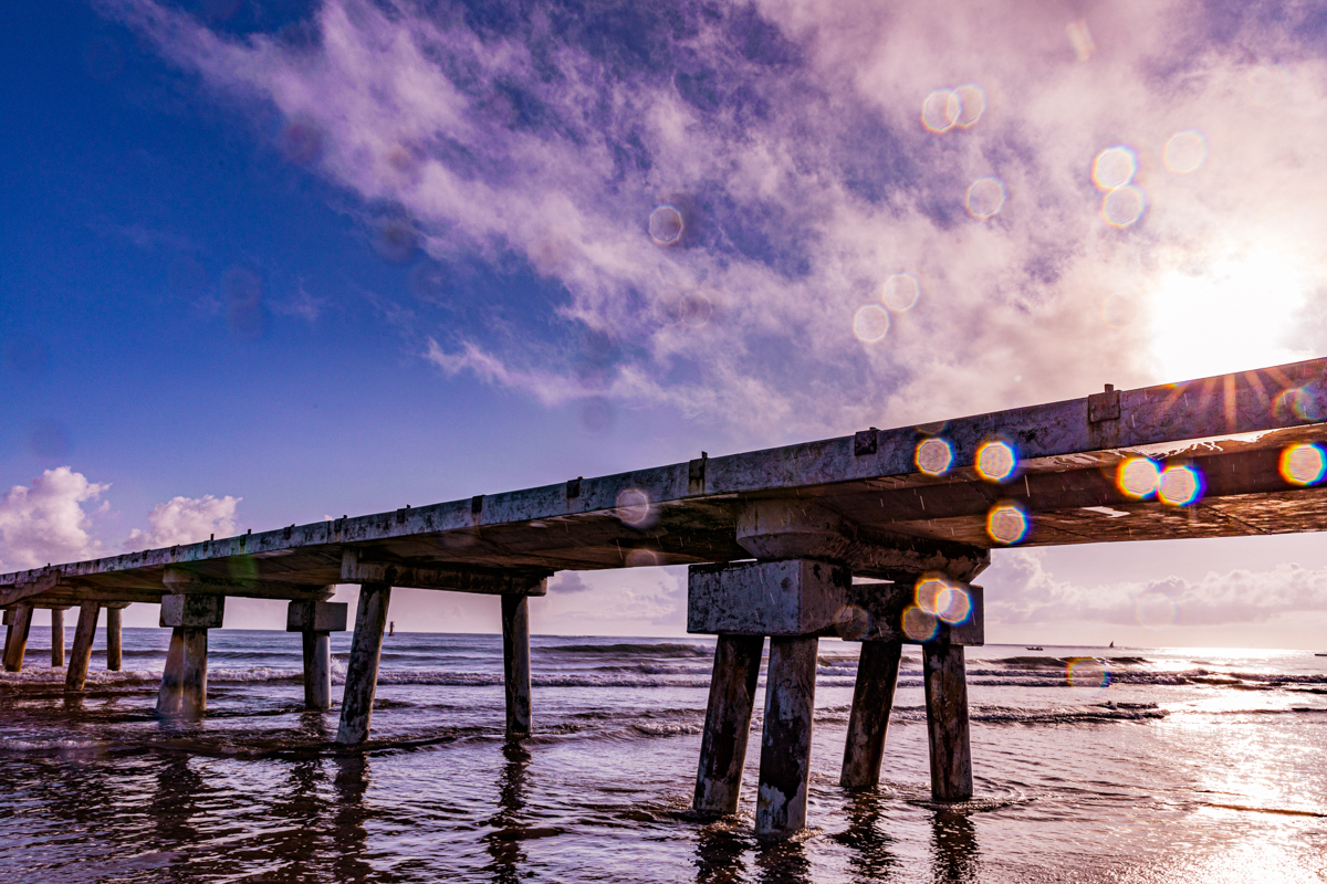
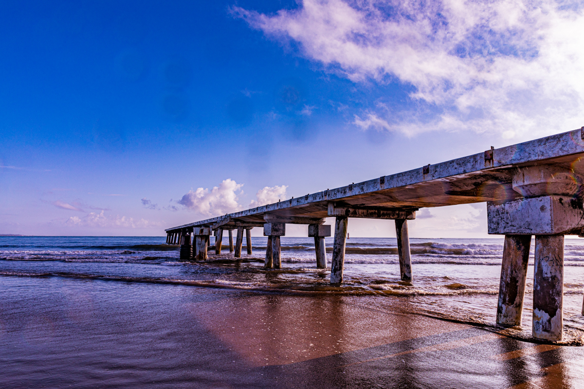
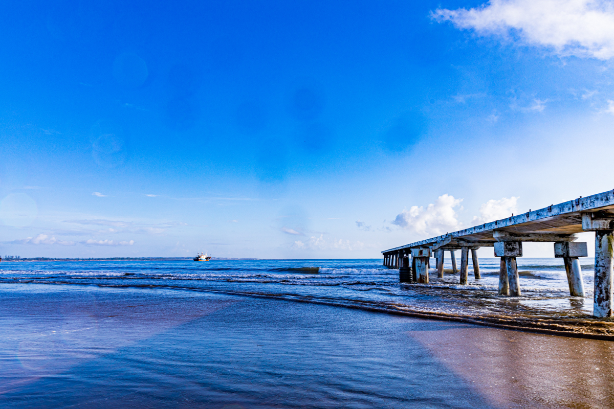
Along the Indian Ocean coastline of Malindi, Kilifi County, stands one of the town’s most recognisable waterfront landmarks: Malindi Pier, commonly known as Malindi Jetty and locally associated with the name Buntwa.
Extending from the shoreline towards the Indian Ocean, the pier has become part of Malindi’s identity. It is a familiar landmark for residents, a point of interest for visitors and, importantly, part of the town’s working maritime environment.
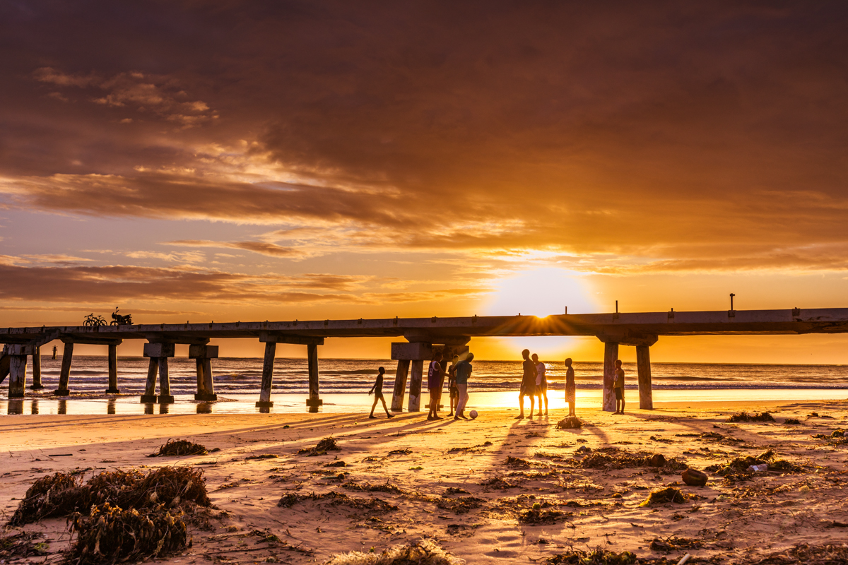
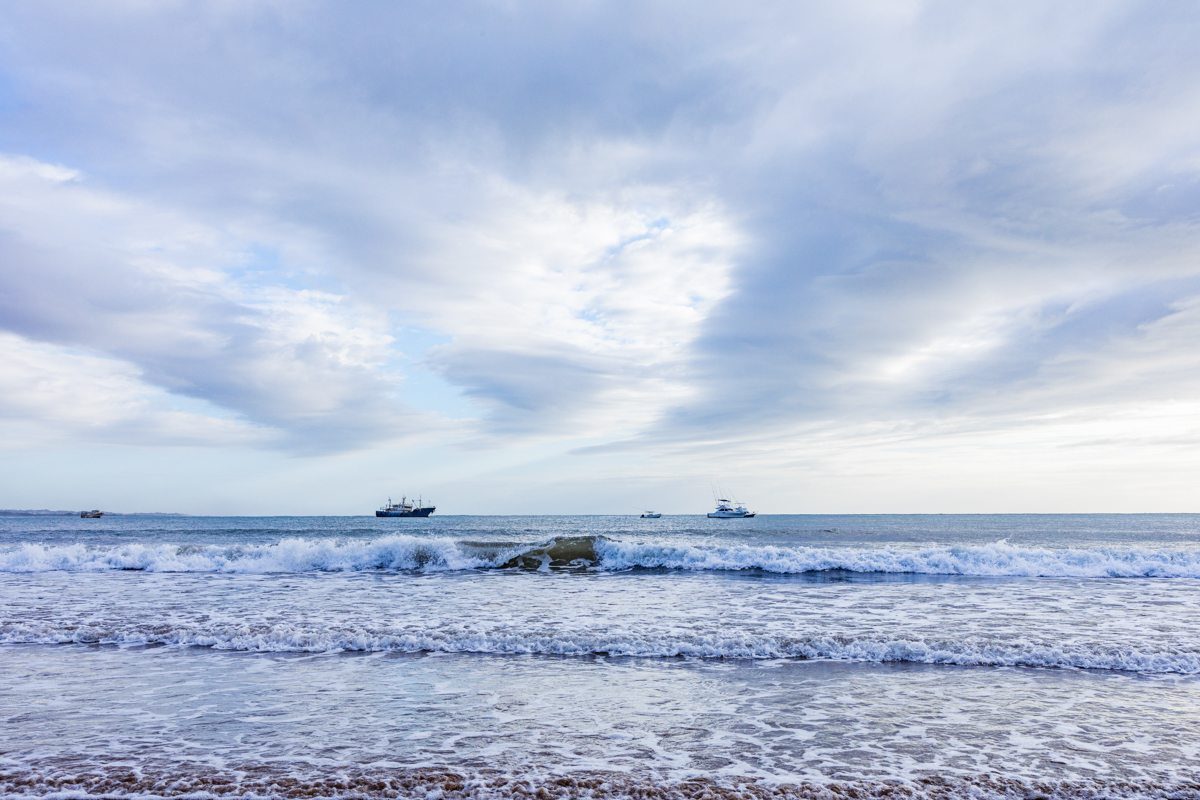
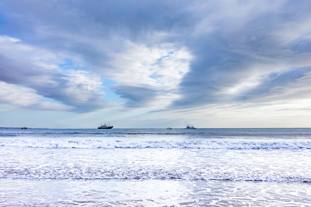
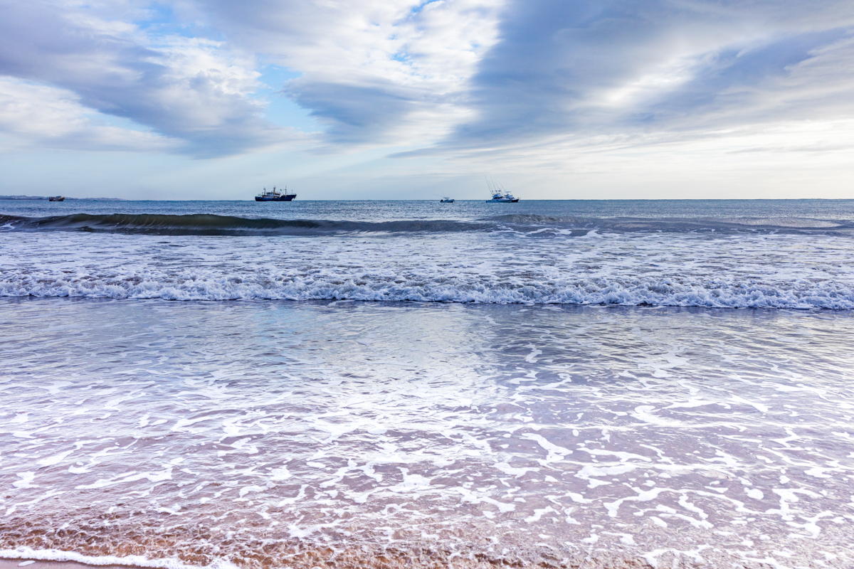
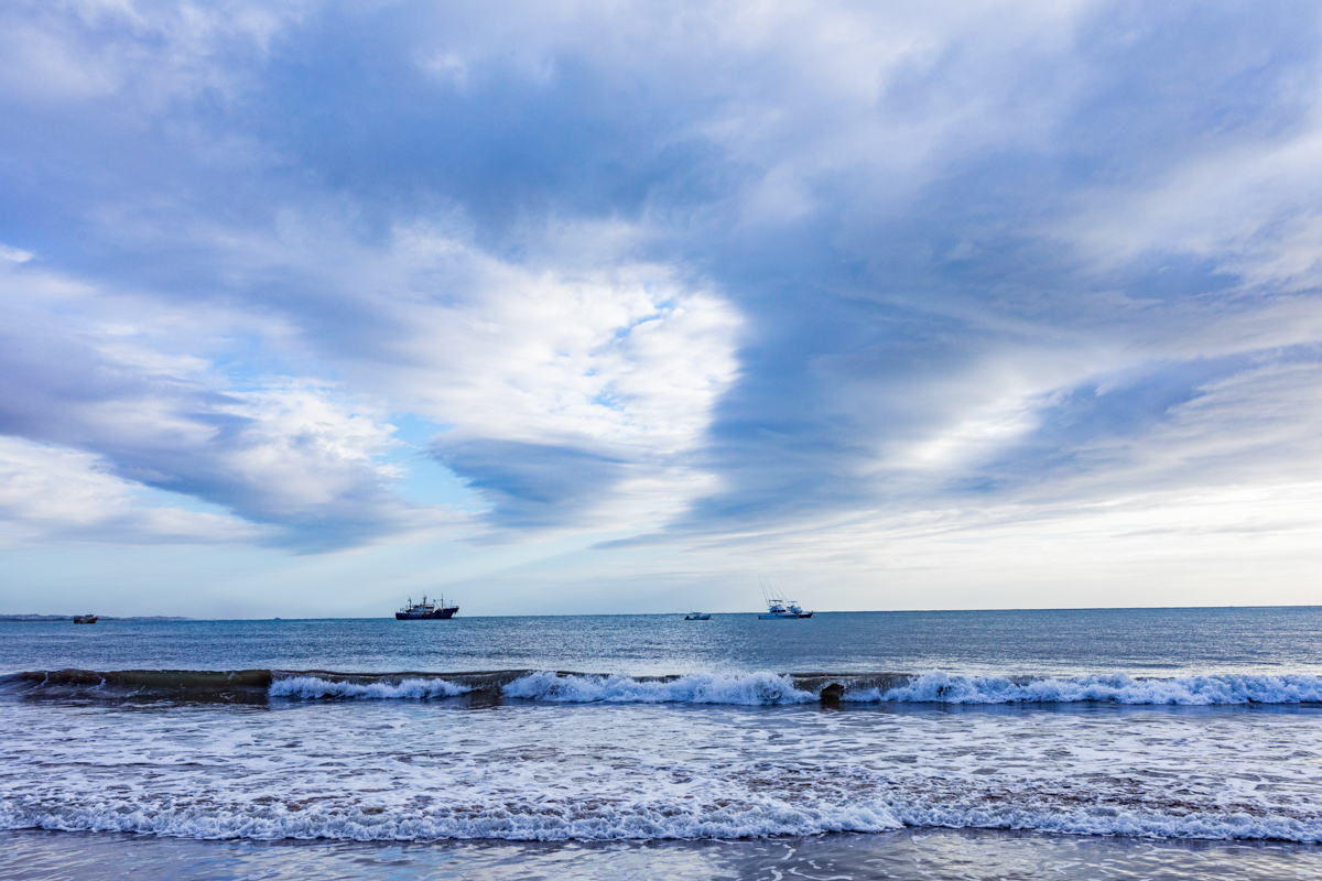
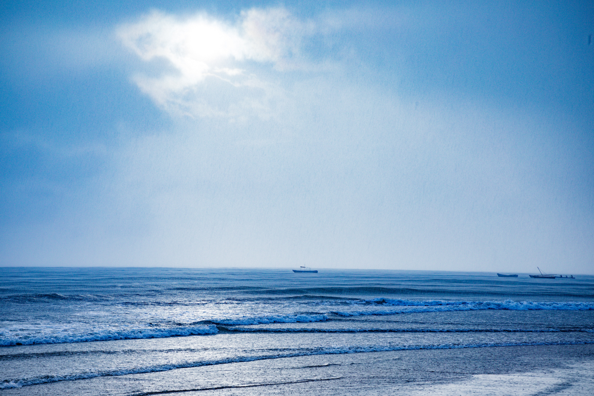
For many people, Malindi Pier represents the simple pleasure of being beside the ocean. The surrounding beachfront attracts residents, families, holidaymakers and photographers. The open coastal setting provides opportunities to appreciate the Indian Ocean, observe fishing activities and experience a different side of Malindi beyond its hotels and resort beaches.
But the story of the pier goes further than tourism.
Malindi has a long relationship with the sea. Fishing, boat operations, fish landing, coastal trade and tourism all contribute to the town’s maritime economy. The pier is associated with these activities, making it an important part of the wider waterfront.
The surrounding Buntwani Waterfront Park also reflects efforts to improve public recreational spaces along the coast. Together, the pier, beach and waterfront developments offer an opportunity to explore the relationship between Malindi’s natural environment, local livelihoods and urban development.
This guide explores Malindi Pier, its location, maritime importance, Buntwani Beach, coastal history, visitor activities, photography opportunities, access, safety and other attractions around Malindi.
Where Is Malindi Pier Located?
Malindi Pier is located in Malindi town, Kilifi County, on Kenya’s northern Indian Ocean coastline.
The pier is situated along the beachfront in the Shella area, within the wider Malindi waterfront. The name Buntwa is associated with the jetty in some local and media accounts, while Buntwani, Bunthwani and related spellings are used for the nearby waterfront area and park.
Malindi is approximately 120 kilometres north of Mombasa by road. It is an established coastal town known for its beaches, Swahili heritage, marine environment, fishing industry and tourism.
The pier is accessible from the Malindi beachfront area, subject to current public access arrangements and the condition of the structure.
Location: Malindi, Kilifi County, Kenya
Coastal setting: Indian Ocean
Nearby waterfront area: Buntwani / Butwani
Nearest major town: Malindi
Nearest major coastal city: Mombasa
Understanding Malindi Pier: More Than a Tourist Landmark
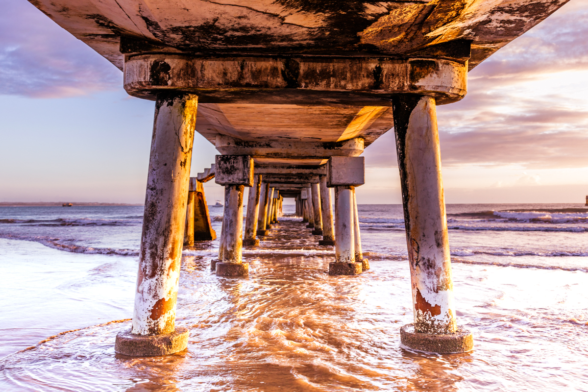
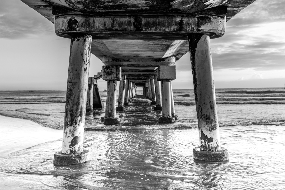
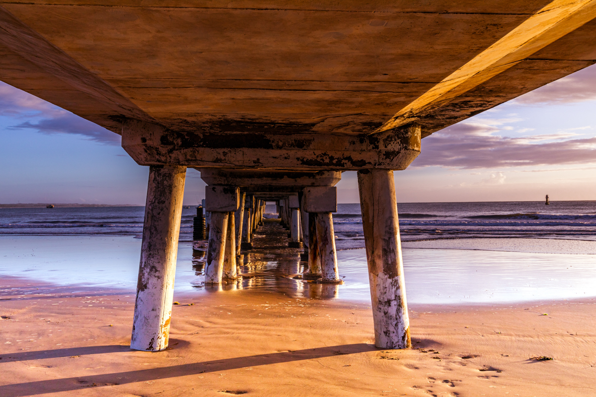
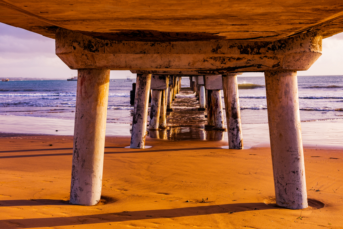
Malindi Pier is a concrete maritime structure extending from the land towards the sea. It is commonly described as a pier or jetty rather than a conventional bridge.
A jetty is generally a structure built out into a body of water to provide access, protect a harbour or support maritime activities. The specific design and purpose of a structure depend on its location and engineering.
Malindi’s pier is associated with the town’s fishing industry and the landing of fish from vessels operating along this section of the coast.
Over time, the structure has also become a familiar public landmark. Residents and visitors have used the waterfront to enjoy ocean views, take photographs and spend time beside the sea.
This combination of public attraction and working infrastructure is central to understanding the site.
It is important, however, not to confuse the popularity of the pier with unrestricted public access. A structure used for maritime operations may have safety requirements and access restrictions that change according to its condition and management.
The Fishing Industry and Maritime Importance of Malindi Pier
Malindi’s relationship with the Indian Ocean is economic as well as recreational.
Fishing supports livelihoods across the Kenyan coast. The industry involves fishermen, boat operators, fish traders, transporters, processors and businesses supplying equipment and services.
Kenya Ports Authority identifies Malindi Port’s pier as a landing facility that mainly serves the local fishing industry. Its published planning information also discusses improvements intended to support fish landing and tourism-related vessel operations.
The authority has identified challenges associated with sediment accumulation and the movement of the breaking zone towards the fish-landing area. This matters because the usefulness of a landing structure depends not only on its concrete construction but also on the surrounding sea conditions and the ability of vessels to approach it safely.
The wider port-development plans discussed by the authority include facilities such as fish storage, ice-making, boat repair services, offices and a floating pontoon.
These proposals illustrate the importance of improving the infrastructure that supports coastal livelihoods. They should not, however, be confused with a guarantee that every proposed facility has already been constructed or is currently operating.
Why the Fishing Industry Matters to Visitors
For visitors, the fishing activity around Malindi offers a perspective that is often missing from conventional beach tourism.
The ocean is not simply a scenic background. It is a working environment for people whose livelihoods depend on fishing and maritime services.
Depending on the time of day and the activities taking place, visitors may observe fishing boats, equipment, fish handling and people working around the waterfront.
These activities are part of the cultural and economic identity of coastal Kenya.
Visitors should respect the working environment. Do not interfere with boats, fishing equipment, fish landing or restricted operational areas. Ask permission before making close photographs of identifiable people.
Buntwani Beach and the Malindi Waterfront
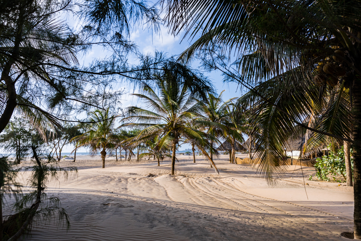
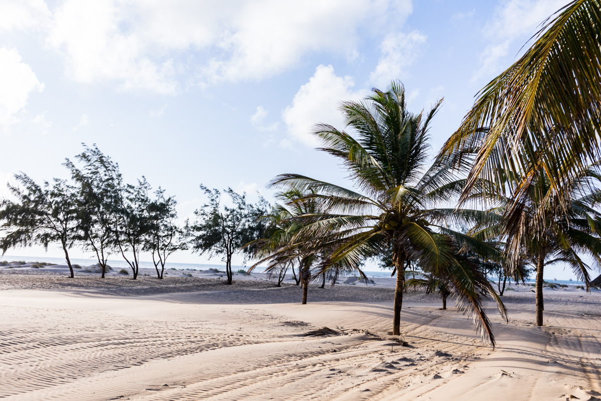
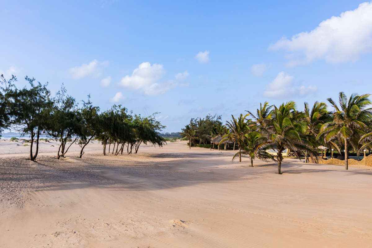
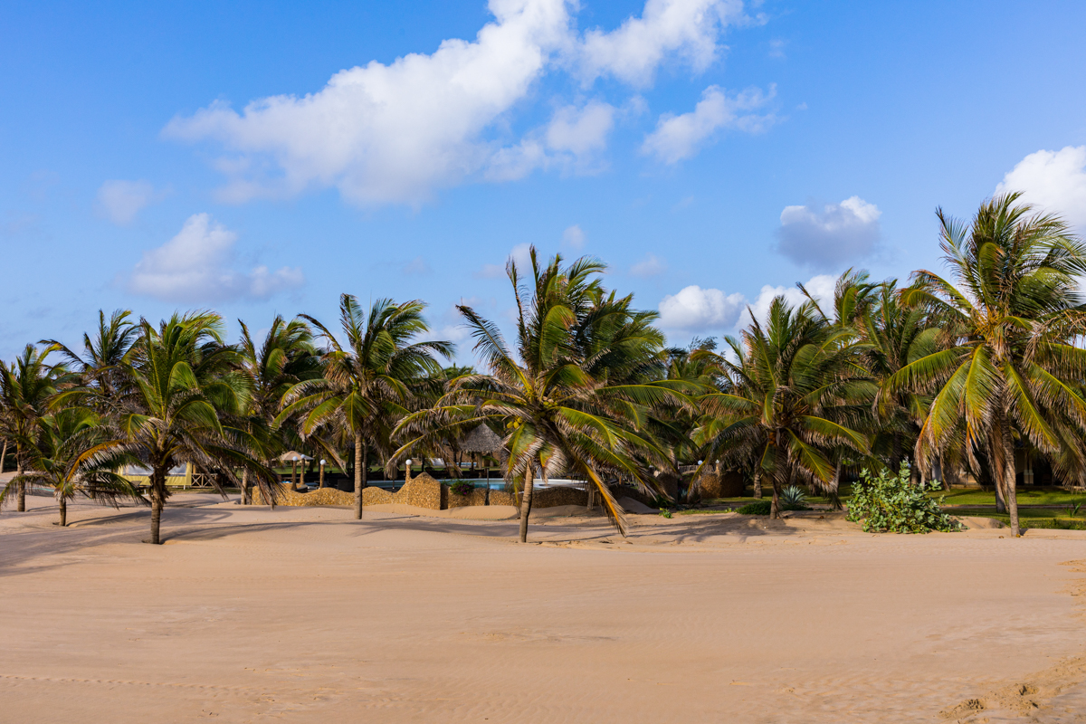
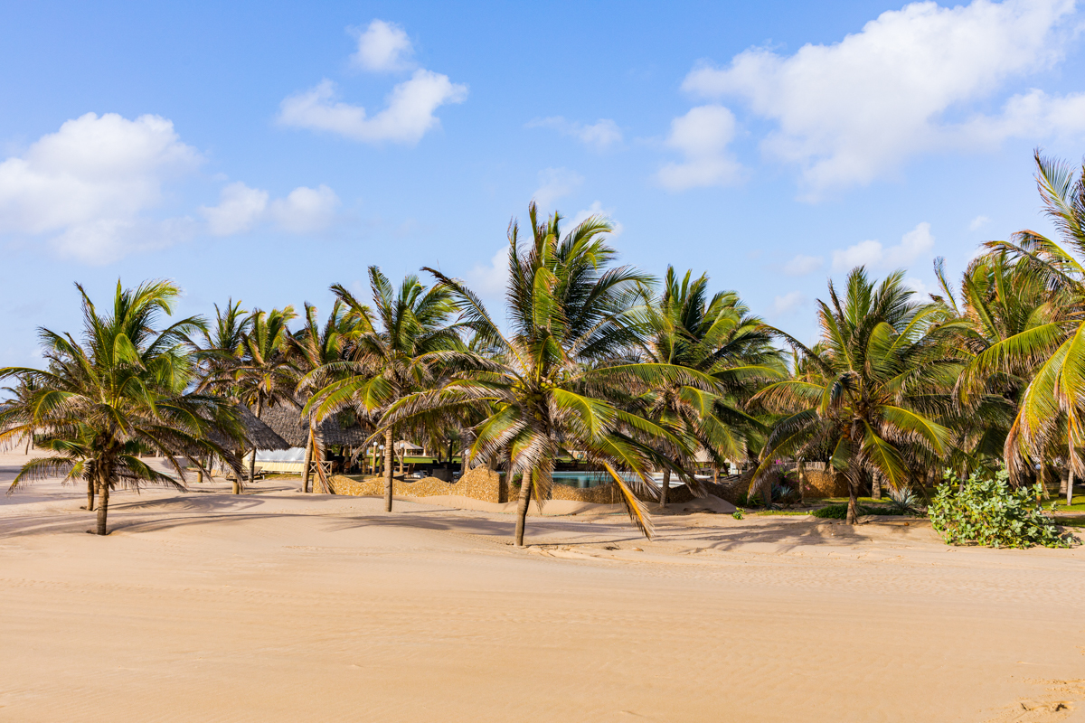
The beach surrounding Malindi Pier forms part of the wider northern Malindi beachfront.
The names Buntwani, Bunthwani and Butwani appear in different descriptions of the area. The waterfront has become associated with recreational activities, local gatherings and efforts to improve public access to the coast.
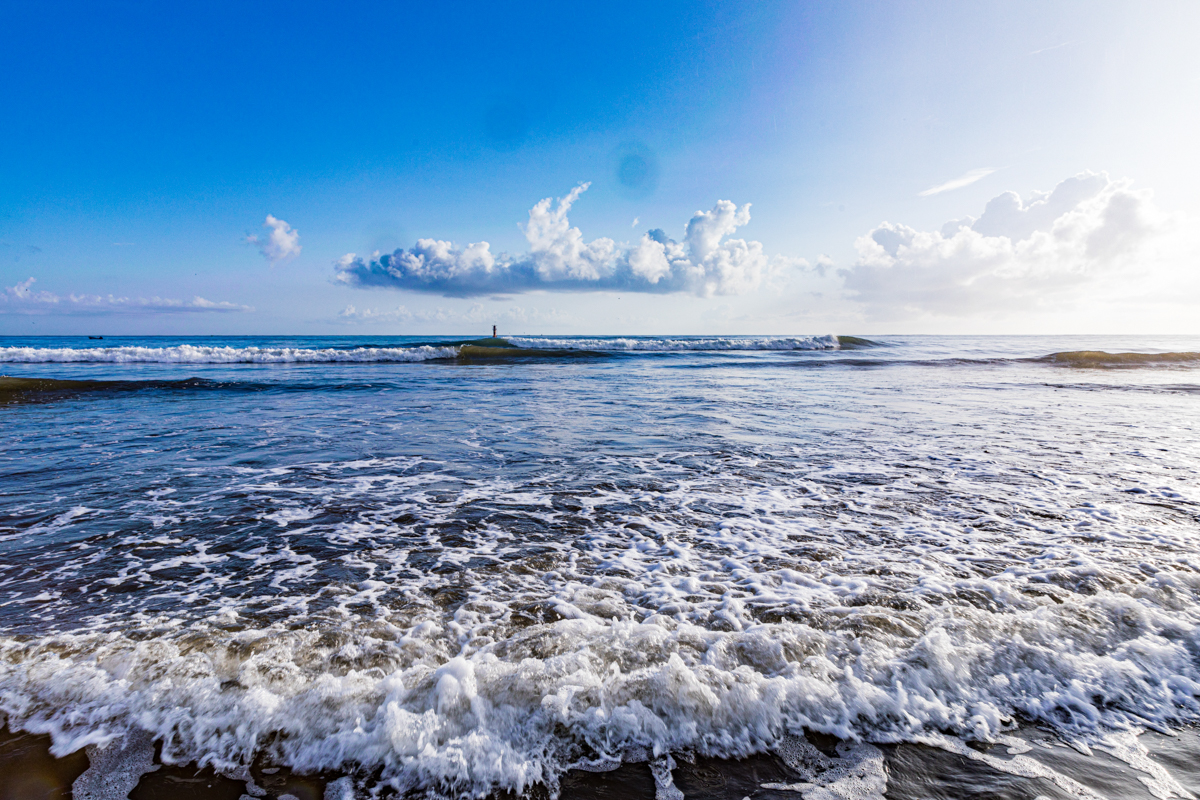
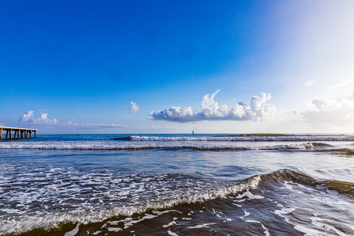
The beach environment changes according to tides, waves, wind and seasonal weather. The width of exposed sand and the appearance of the shoreline may differ from one visit to another.
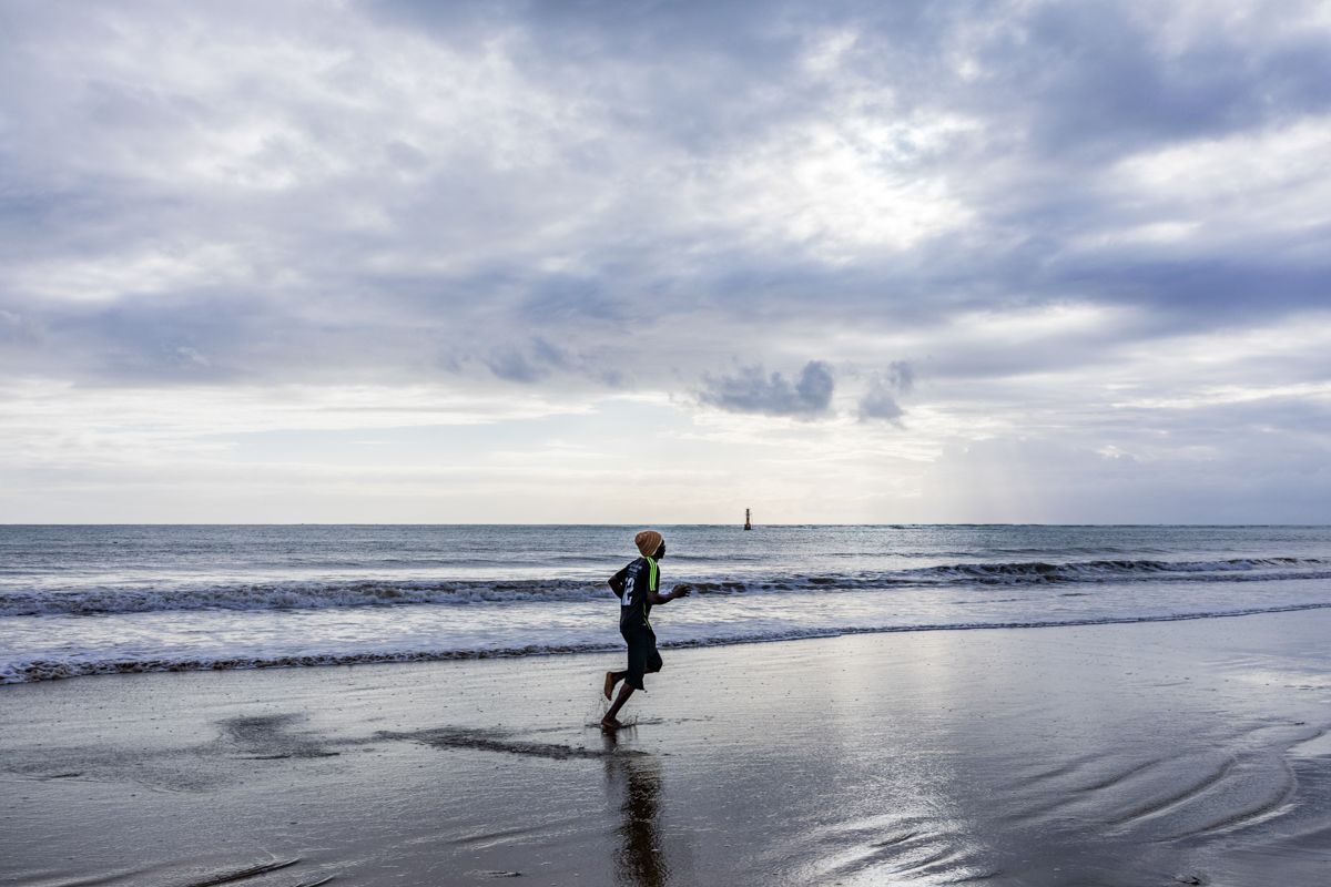
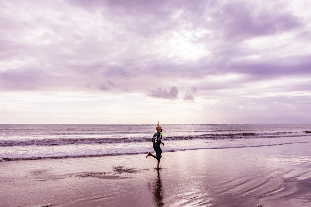
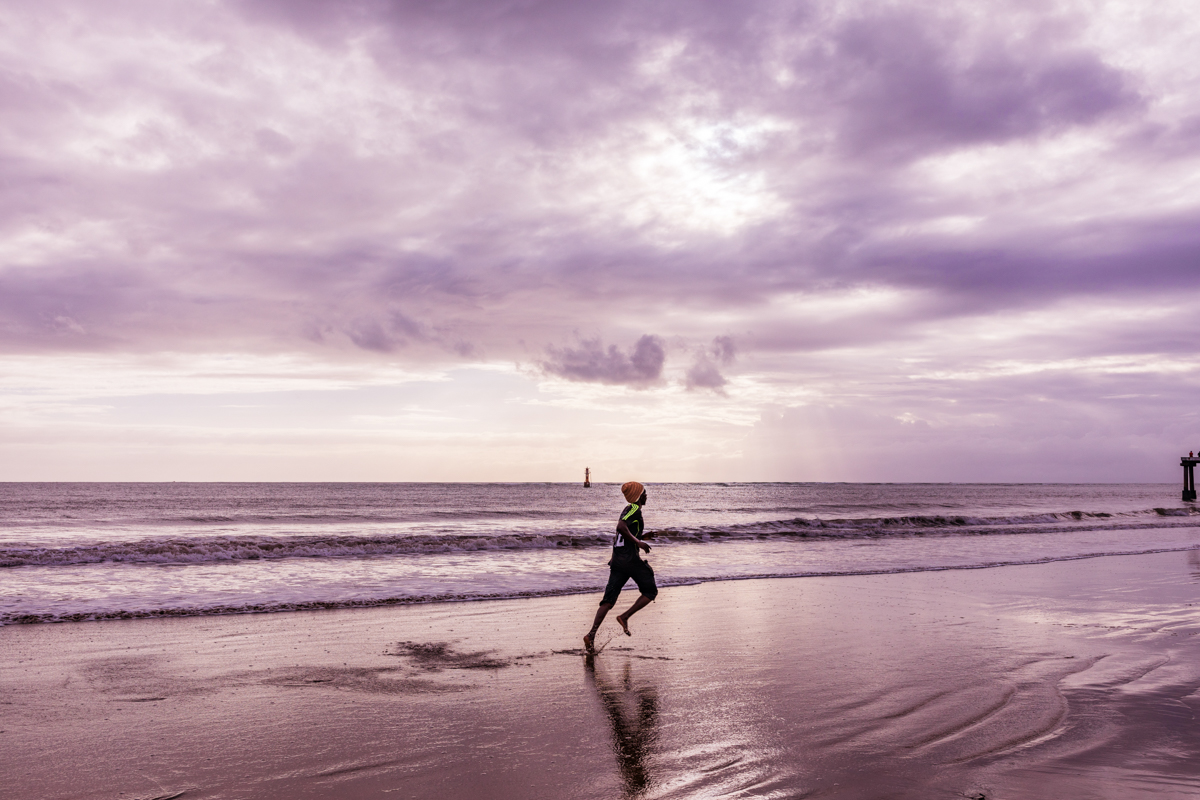
For residents, the beachfront is a familiar place to spend time outdoors. Families and groups of friends may visit during weekends and public holidays, while visitors staying in Malindi can include it in a wider coastal exploration.
The beach and the pier should be understood as related but distinct parts of the waterfront. The beach is a coastal recreational environment; the pier is a maritime structure with a working fishing-related function.
Buntwani Waterfront Park: Public Space and Coastal Development
One of the important developments along Malindi’s waterfront is Buntwani Waterfront Park.
The park was launched in December 2021 as part of efforts to improve recreational space and tourism infrastructure in Malindi.
Reports at the time described a developed section of approximately 300 metres, with facilities including sports areas, food outlets, children’s play facilities and parking.
The original development vision also included a much longer waterfront corridor extending from the Vasco da Gama Pillar towards the Sabaki River. Subsequent project documentation continued to describe the approximately 300-metre developed phase alongside a longer-term ambition for the wider waterfront.
This distinction matters. A proposed waterfront corridor should not be presented as a completed nine-kilometre public park.
The development is significant because urban coastal areas need accessible public spaces. As Malindi grows, waterfront planning has to consider recreation, tourism, environmental protection, fishing livelihoods, public access and the needs of local residents.
Visitors should check which facilities are currently open and operating. The existence of a facility in a launch announcement does not establish its present condition, operating hours or availability.
The Changing Coastline: Sediment, Accretion and Coastal Processes
The coastline around Malindi is not fixed.
Beaches are dynamic environments shaped by waves, tides, currents, wind, sediment supply and human activities. These processes influence where sand accumulates, where it is removed and how the shoreline changes over time.
One important geographical feature of the wider region is the Sabaki River, which carries sediment towards the Indian Ocean.
Research on Kenya’s northern coastline has examined the influence of sediment movement, hydrodynamic processes and human activities on coastal change. Studies have also documented shoreline changes in the wider Malindi region.
Kenya Ports Authority specifically identifies sediment accretion as a factor affecting the approach to Malindi’s fish-landing pier.
Accretion refers to the accumulation of sediment, which can gradually build up beaches or shallow areas. Erosion is the removal of sediment, which can cause the shoreline to retreat.
These processes can occur in different places along the same coastline. A beach gaining sand does not mean that every nearby shoreline is also expanding.
For Malindi, understanding these processes is important because they affect the beach environment, maritime access, fishing activities, coastal infrastructure and the wider marine ecosystem.
The changing coastline also offers an interesting subject for documentary photography. Photographs made over several years can help illustrate changes in the shoreline, public spaces and the relationship between the town and the sea.
Malindi Pier: History and the Name Buntwa
The pier is sometimes referred to as Buntwa in local and media descriptions.
A December 2020 report described the jetty by this name and repeated a local belief that the structure was more than 70 years old at the time.
That report is useful historical context, but it does not establish an official construction date. Until an archival record, engineering document or reliable historical account confirms when the pier was built, its precise age should remain unverified.
The name Buntwa is also not sufficient evidence of the origin or meaning of the name Buntwani. These names should not be treated as interchangeable without confirmation from local historical or linguistic sources.
A more complete history of the structure would benefit from interviews with long-term residents, fishermen, local historians and people who have worked around the port.
Such accounts could help establish when the pier was constructed, how its function has changed and how it became a recognised landmark in Malindi.
Malindi’s Wider Maritime and Swahili History
Malindi’s history extends far beyond the modern tourism industry.
The town forms part of the historic Swahili coast, a region shaped by centuries of Indian Ocean trade, settlement, maritime exchange and interaction between African coastal communities and overseas visitors.
The Indian Ocean connected settlements along the East African coastline with trading networks extending towards Arabia, Persia, India and other parts of the wider oceanic world.
Malindi became one of the coastal settlements associated with these maritime connections.
The arrival of Portuguese navigator Vasco da Gama in 1498 is a significant recorded event in the town’s history. The Portuguese presence that followed included a trading base and a chapel, documented by the National Museums of Kenya.
However, Malindi’s history did not begin with Vasco da Gama or the Portuguese. The Swahili coast had established communities, trade and maritime connections long before the arrival of European navigators.
The pier belongs to a much later chapter of this continuing relationship between Malindi and the sea. It is a modern working structure within a town whose identity has long been connected to Indian Ocean activity.
Malindi Pier and the Nearby Marine Environment
The coastal waters around Malindi form part of an ecologically important marine environment.
The nearby Malindi Marine National Park and Reserve is Kenya’s oldest marine protected area, established in 1968.
The protected area includes important marine habitats such as coral reefs, seagrass beds, mangroves and mudflats. These habitats support marine biodiversity and contribute to the ecological value of the Kenyan coast.
The park is a separate protected area with its own boundaries, visitor arrangements and conservation rules. A visit to Malindi Pier or Buntwani Beach does not automatically mean that a visitor has entered the marine park.
Visitors interested in coral reefs, snorkelling, diving, marine wildlife or organised boat excursions should make arrangements through authorised operators and follow Kenya Wildlife Service regulations.
The distinction between the ordinary public waterfront and a protected marine area is important. Different activities may have different permissions, fees and environmental requirements.
What Can You Do at Malindi Pier and Buntwani Beach?
The waterfront offers opportunities for sightseeing, photography and observing coastal life. The activities available on a particular visit depend on the condition of the pier, public access arrangements, weather and local regulations.
1. Enjoy the Indian Ocean Views
The open coastal setting offers views of the Indian Ocean and the surrounding Malindi shoreline.
The beach provides an opportunity to enjoy the sea without necessarily arranging a boat excursion.
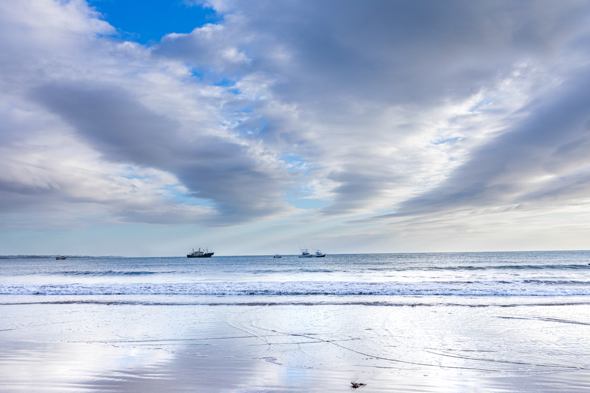
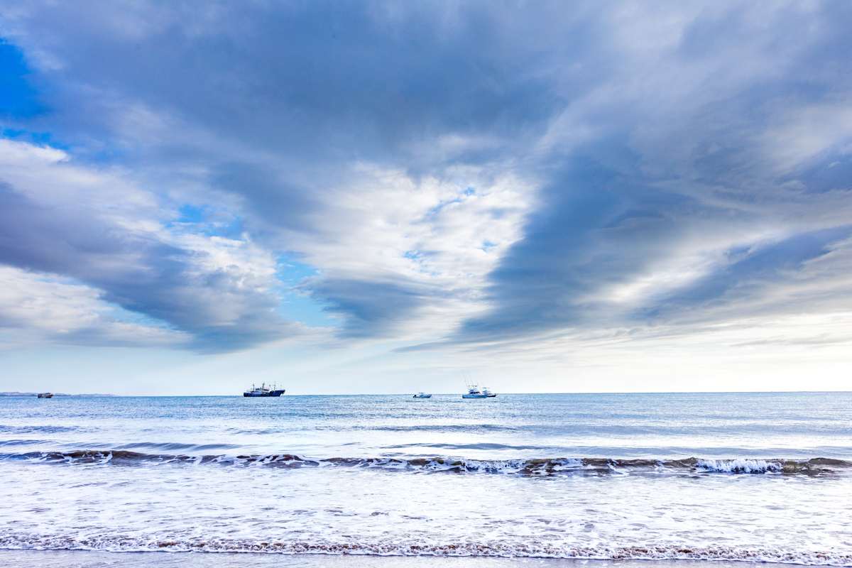
Visitors can observe changing light, waves, coastal activity and the movement of boats along the waterfront.
2. Explore the Beachfront
A walk along the accessible sections of the beachfront is a simple way to experience the area.
The shoreline provides opportunities to observe local recreation, fishing-related activities and the changing coastal environment.
Visitors should be aware of tides, wet surfaces, boat operations and any restricted sections.
3. Observe the Fishing Industry
The working waterfront provides an opportunity to understand the connection between Malindi and the Indian Ocean.
Visitors may observe fishermen and other maritime workers, depending on the day’s activities.
Approach the area respectfully. Fishing operations are work, not a performance arranged for visitors.
4. Visit Buntwani Waterfront Park
The waterfront park was developed to provide recreational facilities and public space along the coast.
Depending on the current operating arrangements, visitors may be able to use available recreational areas, food outlets or sports facilities.
Check local information before planning a visit around a particular facility or event.
5. Photography and Documentary Storytelling
Malindi Pier and its surrounding beachfront offer opportunities for travel, landscape and documentary photography.
The combination of concrete structures, open water, beach activity and fishing operations creates a setting that is visually different from the conventional resort-beach image of Malindi.
6. Swimming and Water Activities
Do not assume that the water immediately around the pier is a designated swimming area.
The pier is associated with fishing and maritime activity. Boats, submerged objects, currents, waves and the condition of the structure may create hazards.
Visitors who wish to swim should use an appropriate beach area, seek local advice and assess the actual sea conditions.
Marine excursions, snorkelling and diving should be arranged through suitable operators, with attention to the relevant protected-area rules.
7. Fishing
Malindi Pier’s connection to fishing makes it a point of interest for people interested in the local fishing industry.
However, visitors should not assume that recreational fishing is permitted on the structure or around operational areas.
Check local permissions and restrictions before attempting to fish. Do not obstruct commercial fishing activities.
The Best Time to Visit Malindi Pier
Malindi’s coastal climate is generally warm throughout the year. However, the experience of visiting the pier and surrounding beach varies according to time of day, weather, tides and visitor numbers.
Early Morning
Early morning is a good time for coastal photography and a quieter beach experience.
The light is usually softer than around midday, and the beachfront may have fewer visitors.
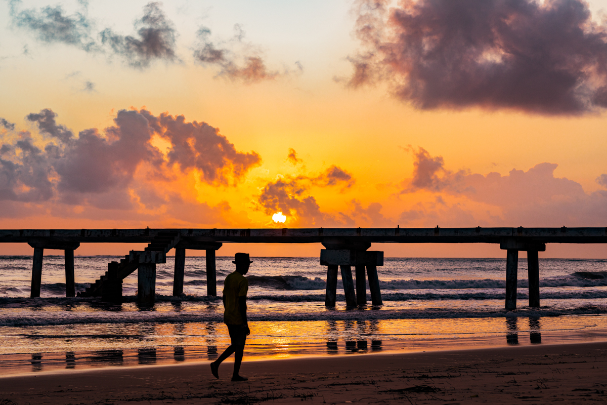
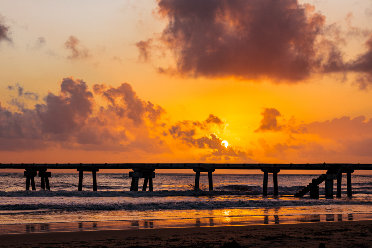
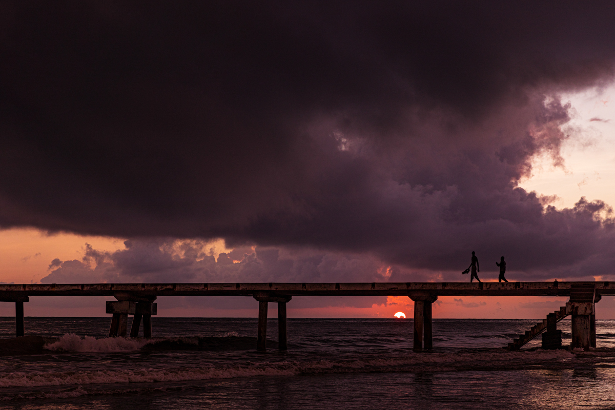
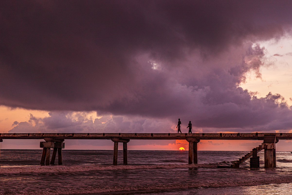
Sunrise can provide opportunities for wide coastal compositions, silhouettes and photographs of the shoreline.
Late Afternoon
Late afternoon offers another useful period for photography and beach exploration.
The sun becomes less intense, temperatures are generally more comfortable and the changing light can create warmer colours across the water and sand.
Weekdays
Weekdays may be quieter than weekends and public holidays.
Visitors seeking a more relaxed experience or interested in observing everyday coastal activity may prefer these periods.
Weekends and Public Holidays
Weekends and holidays can attract more local visitors, families and holidaymakers.
The atmosphere may be livelier, but the area can also become busier.
Seasonal Weather and Sea Conditions
The long rains in much of coastal Kenya generally occur around March to May, while the short rains commonly occur around October and November. Actual rainfall varies from year to year.
Wind, waves and tides are particularly relevant to anyone considering swimming, fishing or other water-related activities.
For walking and photography, early morning and late afternoon are sensible starting points. For activities in the sea, check current local conditions rather than relying only on the season.
How to Get to Malindi Pier
Malindi Pier is located within Malindi town and can be reached by road or on foot from nearby parts of the town.
By Private Vehicle
Visitors travelling by private vehicle can drive towards the Malindi beachfront and Buntwani area.
Use current navigation information for the final approach, as local road access and parking arrangements may change.
Do not drive onto the pier or enter restricted operational areas.
By Taxi or Tuk-Tuk
Taxis and tuk-tuks are commonly used for local transport in Malindi.
Visitors staying within the town can arrange a transfer to the waterfront through their accommodation or a local transport provider.
Agree on the fare before starting the journey when using a service without a metered fare.
On Foot
Visitors staying close to the northern beachfront may be able to walk to the area.
Consider the heat, distance, footwear and time of day. Walking along the beach may be affected by tides and the condition of the shoreline.
By Road From Mombasa
Malindi is approximately 120 kilometres north of Mombasa by road.
The journey follows the coastal highway through parts of Kilifi County. Travel time depends on traffic, road conditions and stops along the way.
By Air
Malindi Airport serves the town and the wider coastal tourism area.
Visitors arriving by air can arrange a taxi or accommodation transfer to their hotel and the waterfront. The actual distance and journey time to the pier depend on the route and destination point.
How Far Is Malindi From Other Coastal Attractions?
Malindi is a useful base for exploring several attractions in Kilifi County and the wider northern coast.
Approximate road distances include:
- Mombasa to Malindi: Approximately 120 kilometres.
- Watamu to Malindi: Approximately 19–20 kilometres.
- Kilifi to Malindi: Approximately 60 kilometres.
- Gede Ruins to Malindi: Approximately 15–20 kilometres, depending on the route.
These are general planning estimates. Confirm the route and travel time before departure, particularly when visiting multiple destinations in one day.
The distance from Tsavo East National Park to Malindi depends on the gate used and the route selected. It is therefore better to plan that journey using the specific park entrance rather than rely on a single general distance.
Entrance Fees, Opening Hours and Visitor Facilities
Visitors should confirm current access arrangements before travelling.
Do not assume that the pier, public beach and Buntwani Waterfront Park share the same management, entry rules or fees.
A charge for a particular facility, parking area, event or organised activity should not automatically be described as an entrance fee for the entire waterfront.
Likewise, the opening hours of a managed facility should not be confused with access to the public beach.
Before visiting, confirm:
- Whether the pier is open to the public.
- Whether any sections are closed or restricted.
- Whether the waterfront park facilities are operating.
- Whether parking is available and whether it is charged.
- Whether food outlets, toilets and other facilities are open.
- Whether a particular event or activity requires advance arrangements.
Avoid relying on old online prices or opening hours as current information.
Safety at Malindi Pier and Buntwani Beach
Safety deserves particular attention because the pier has a documented history of structural concerns.
In January 2020, fishermen raised concerns about missing and unstable guardrails and the condition of the jetty. The report also documented a fatal incident involving a motorcycle going off the end of the structure.
In December 2020, further reporting described cracks, exposed metal and vandalism affecting the jetty.
These reports are historical. They do not establish the structure’s current condition or prove that the problems remain unresolved. Equally, they do not provide evidence that the pier has been fully repaired and is safe for unrestricted public use.
Visitors should therefore check current access arrangements and obey instructions from the responsible authorities.
Do Not Assume the Pier Is Safe to Walk On
Do not enter the structure if it is closed, damaged, restricted or lacks adequate safety protection.
Never cross barriers, climb railings or walk towards an exposed end.
Do Not Sit Beneath the Structure
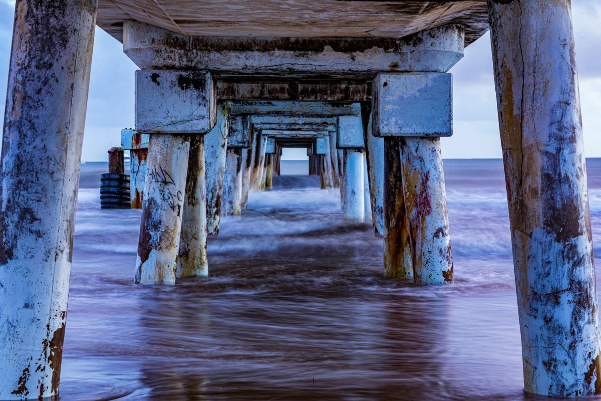
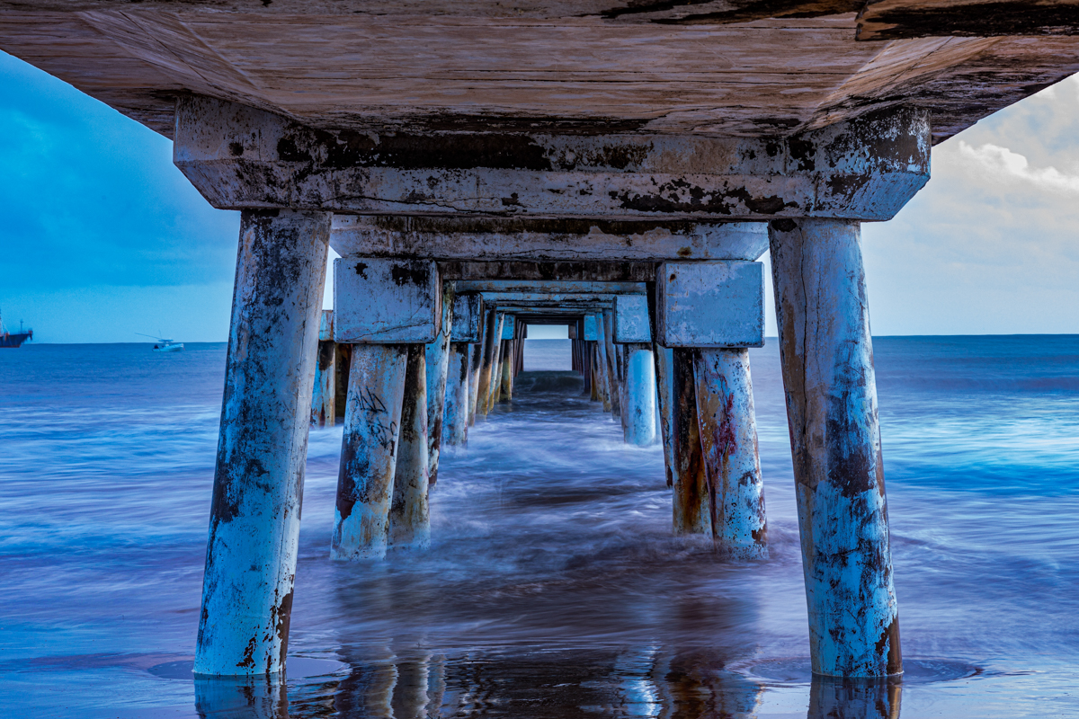
Avoid sitting or gathering beneath the pier. Visitors should not use areas that may be affected by falling material, structural damage or maritime operations.
Be Careful Around Boats and Fishing Equipment
Keep away from ropes, fishing gear, moving vessels and fish-handling operations.
Do not obstruct people working around the landing area.
Exercise Caution Near the Water
Sea conditions can change. Currents, waves, submerged objects and boat movements may create hazards.
Choose appropriate swimming areas and seek local guidance before entering the water.
Supervise Children
Children should be supervised closely around the sea, rocks, structures and any elevated sections.
Do not allow children to climb railings or enter restricted areas.
Protect Yourself From the Sun
Carry drinking water, wear a hat and use suitable sun protection.
The coastal sun can be intense, especially during the middle of the day.
Other Places to Visit Around Malindi
Malindi Pier can be included in a wider exploration of the town and the northern Kilifi coastline.
Vasco da Gama Pillar
The Vasco da Gama Pillar is one of Malindi’s best-known historical landmarks.
It is associated with the Portuguese maritime presence on the East African coast and is an important part of the town’s recorded history.
The pillar provides a useful starting point for understanding Malindi’s relationship with Indian Ocean navigation and trade.
Portuguese Chapel
The Portuguese Chapel is a significant historical site associated with the Portuguese presence in Malindi.
The National Museums of Kenya documents the arrival of Vasco da Gama in 1498 and the establishment of a Portuguese presence that included a chapel and trading base.
The chapel is an important reminder that Malindi’s history includes centuries of cultural and maritime exchange.
Malindi Old Town
Malindi’s old town offers a glimpse into the town’s Swahili heritage.
Its streets, older buildings and historic religious sites help visitors appreciate the cultural history of the coastal settlement beyond its modern tourism industry.
Malindi Museum
The Malindi Museum provides historical and cultural context about the town and surrounding region.
Visitors interested in the history of the Kenyan coast can include it in a wider heritage visit.
Gede Ruins
Gede Ruins is an important archaeological site near Watamu.
The remains of the historic Swahili settlement offer insight into earlier coastal urban life, architecture and trade networks.
Watamu Marine National Park and Reserve
Watamu is known for its marine environment, beaches and protected coastal habitats.
Visitors interested in coral reefs, marine wildlife and water activities can explore the area through authorised operators and in accordance with Kenya Wildlife Service regulations.
Malindi Marine National Park and Reserve
Malindi Marine National Park and Reserve is Kenya’s oldest marine protected area, established in 1968.
It protects important coastal and marine habitats and is a separate destination from the public waterfront around Malindi Pier.
Visitors should check current KWS entry requirements, fees and operating arrangements before planning marine activities.
Mambrui and the Sabaki River Area
North of Malindi, Mambrui and the Sabaki River area offer different coastal landscapes.
The river mouth is of interest to visitors exploring coastal ecology, birdlife, sediment movement and the wider geography of northern Kilifi County.
These locations can help travellers understand the variety of environments along the coast.
Responsible Tourism at Malindi Pier
Responsible tourism begins with recognising that the waterfront is a shared environment.
The beach is a recreational space, the pier is connected to maritime activity, and the surrounding coast supports important ecological and economic functions.
Visitors can help protect the area by following a few simple principles:
- Do not leave plastic, food packaging or other rubbish on the beach.
- Respect fishermen, boat operators and people working around the landing areas.
- Follow safety instructions and all access restrictions.
- Ask permission before taking close photographs of identifiable people.
- Avoid damaging coastal vegetation and marine habitats.
- Do not remove coral or other natural materials from protected areas.
- Use authorised operators for marine excursions.
- Support local businesses and services where appropriate.
- Do not enter closed or unsafe structures for photographs.
- Leave the waterfront in a condition that other visitors and residents can continue to enjoy.
The ocean is not simply a tourist attraction. It is an ecological environment and an economic resource for communities along the Kenyan coast.
Malindi Pier for Travel and Documentary Photography
For photographers, Malindi Pier offers an opportunity to document more than a coastal landmark.
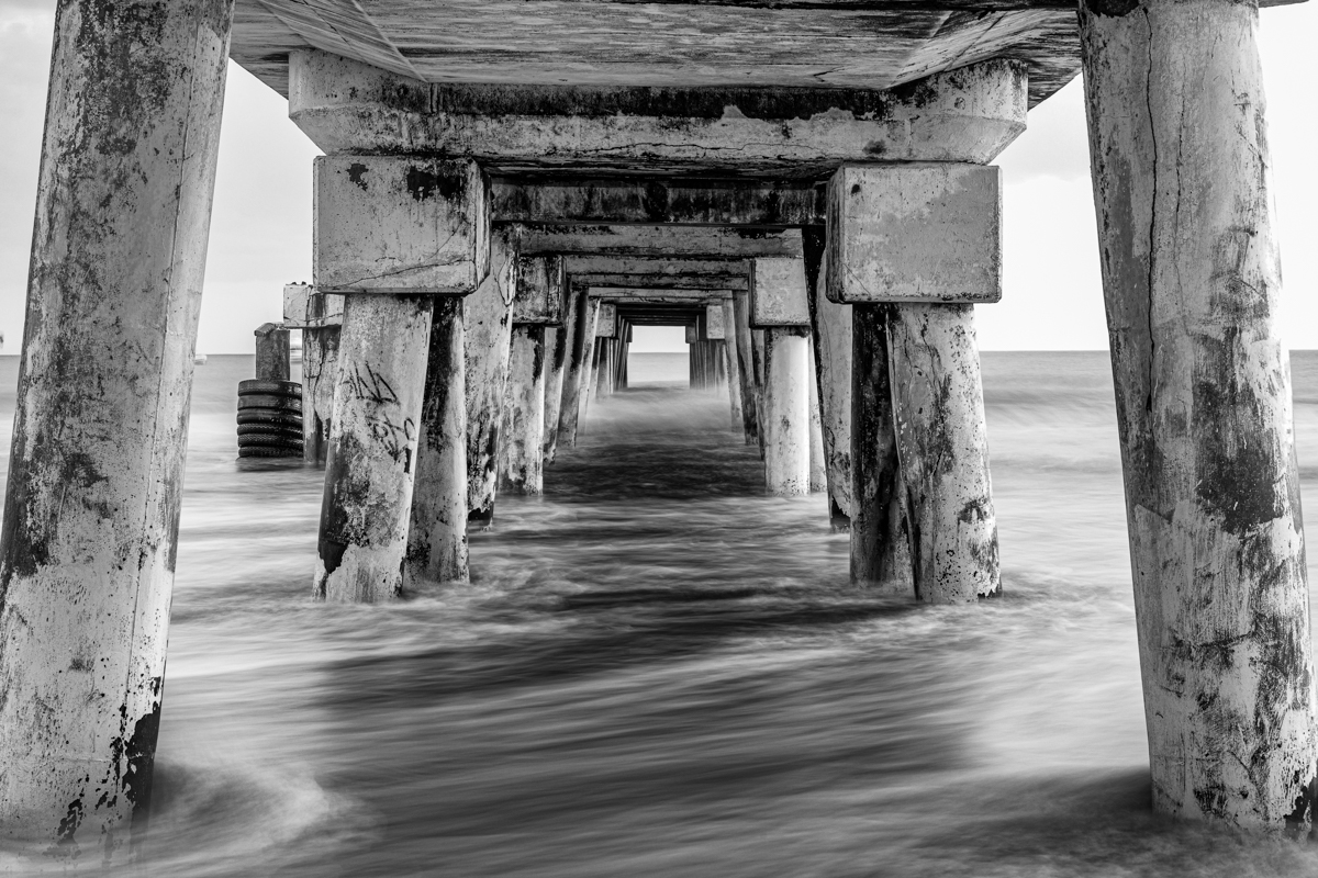
The structure provides strong lines and perspective, while the ocean and beach create a changing natural background.
The surrounding waterfront brings together architecture, fishing activities, recreation and everyday life.
Photographic subjects may include:
- Wide views of the pier and Indian Ocean.
- Sunrise and changing coastal light.
- The relationship between the beach and the built waterfront.
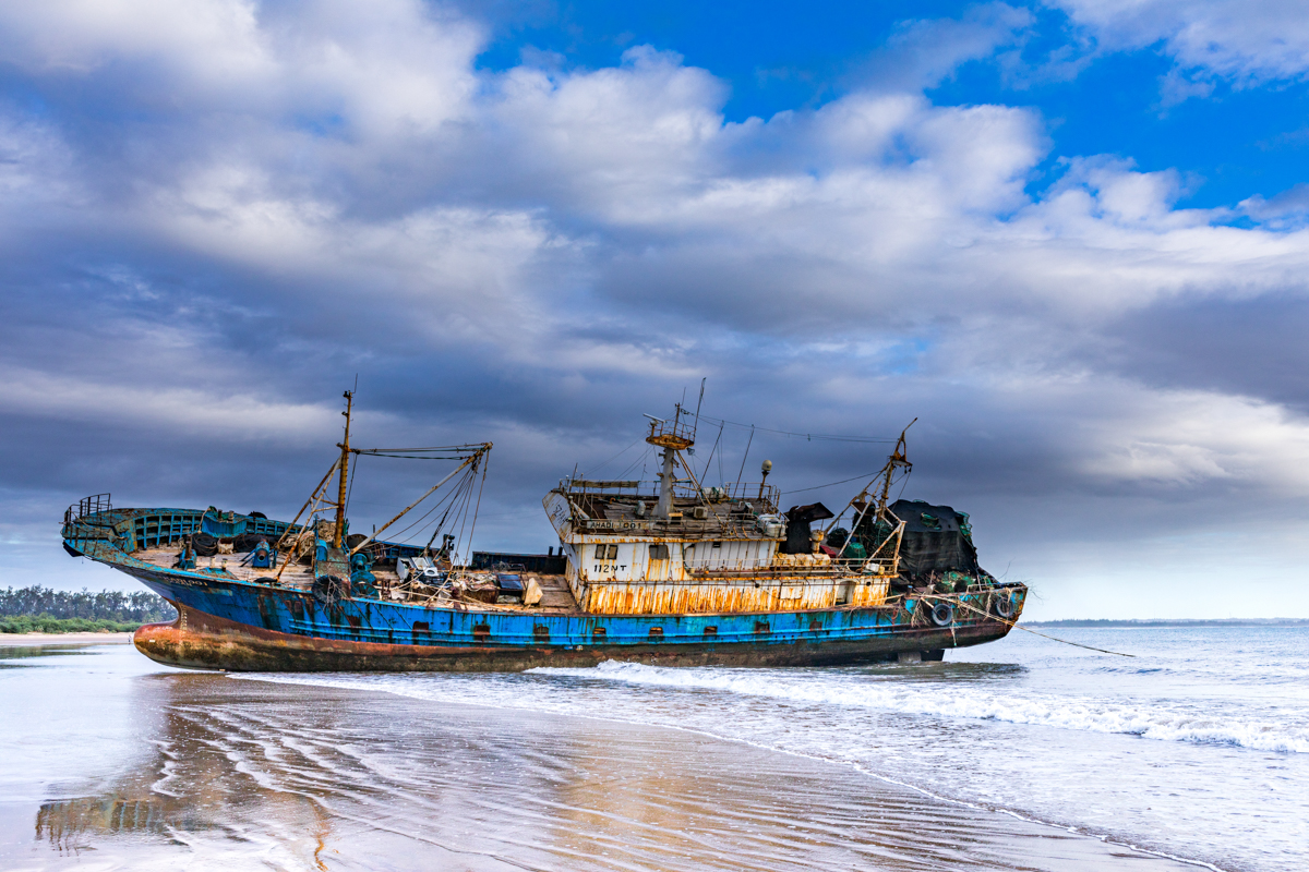
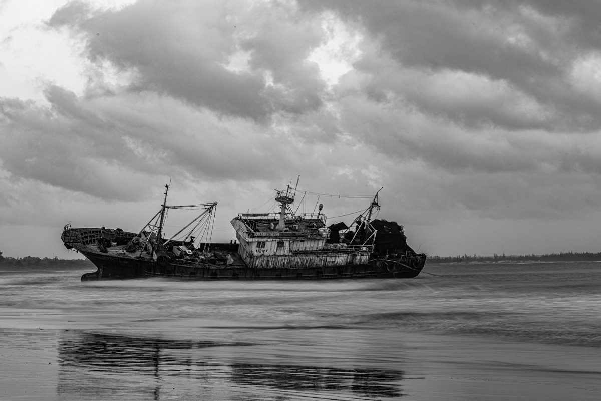
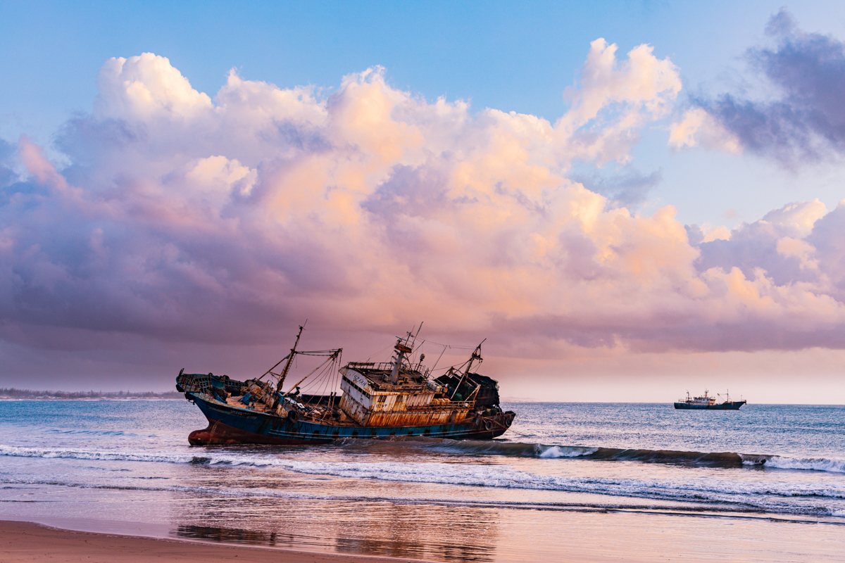
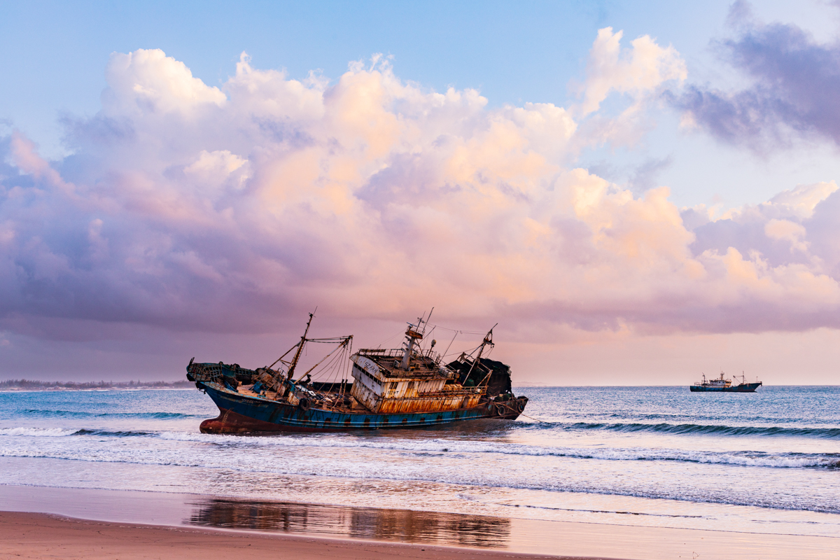
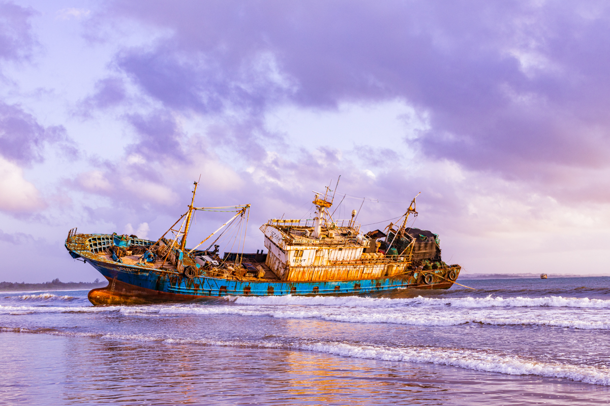
- Fishing boats and maritime equipment.
- Fishermen preparing and handling their equipment.
- Residents and families enjoying the beachfront.
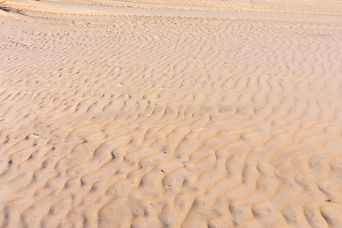
- The changing shoreline and patterns created by tides.
- Buntwani Waterfront Park and its recreational spaces.
- The wider coastal landscape around Malindi.
Best Photography Times
Early morning offers softer light and may provide a quieter environment for landscape photography.
Late afternoon can create warmer tones across the beach and water.
Midday light can be harsh, but it may still be useful for documentary photographs that emphasise strong shadows, textures and human activity.
Documentary Photography Ethics
Photographers should remember that the people working around the pier are not props in a tourist scene.
Ask permission when appropriate, respect privacy and avoid interfering with fishing operations.
Do not enter restricted or unsafe sections to obtain a photograph.
A meaningful documentary photograph should tell the viewer something about the place, its people and the relationship between the environment and everyday life.
For Antony Trivet Photography, the strongest visual story is not simply the pier at sunrise. It is the wider story of Malindi’s waterfront: the sea, fishing livelihoods, public recreation, coastal development and the changing environment.
Is Malindi Pier Worth Visiting?
Malindi Pier is worth including in a visit to Malindi, particularly for travellers interested in coastal landscapes, maritime activity and local life.
It may not offer the scale of a national park or the facilities of a large resort attraction. Its value lies in its connection to the town and its position within the wider waterfront.
Visitors can appreciate the Indian Ocean, explore the accessible beachfront, observe the fishing economy and photograph an important part of Malindi’s coastal identity.
However, the condition and public accessibility of the pier itself must be confirmed before visitors plan to walk onto it.
The most rewarding experience may be a simple coastal visit: observing the changing light, watching the activity around the waterfront, learning about local fishing and appreciating the relationship between Malindi and the sea.
Frequently Asked Questions About Malindi Pier
Where is Malindi Pier located?
Malindi Pier is located in Malindi town, Kilifi County, along Kenya’s Indian Ocean coastline. It is associated with the Shella beachfront and the wider Buntwani waterfront area.
Is Malindi Pier also called Malindi Jetty?
Yes. Malindi Pier and Malindi Jetty are commonly used names for the same waterfront structure.
Is Malindi Pier called Buntwa?
Some local and media accounts refer to the jetty as Buntwa. Buntwani and similar spellings are also used for the surrounding waterfront area. The exact relationship between these names should be confirmed through local historical sources.
How long is Malindi Pier?
Published descriptions give different figures. A Kenya News Agency report in January 2020 described the facility as approximately 500 metres long, while other travel descriptions give shorter estimates. Without a verified engineering measurement, its exact length should not be stated as definitive.
What is Malindi Pier used for?
The pier is associated with fish landing and the local fishing industry. It has also become a recognisable waterfront landmark used by residents and visitors.
Can visitors walk on Malindi Pier?
Public access depends on the structure’s current condition and any restrictions imposed by the responsible authorities. Visitors should confirm that it is open and safe before attempting to walk onto it.
Is Malindi Pier safe?
Historical reports from 2020 documented concerns about missing guardrails, cracks and other structural problems. Those reports do not establish its current condition. Check current access and safety arrangements before visiting.
Can you swim at Malindi Pier?
Do not assume that the water immediately beside the pier is suitable for swimming. Fishing activity, vessels, currents and submerged hazards may make some sections unsuitable. Choose an appropriate swimming area and check local sea conditions.
Is there an entrance fee at Malindi Pier?
Current access and payment arrangements should be confirmed locally. Charges for parking, organised activities, events or managed facilities should not automatically be described as a fee for the entire waterfront.
What is Buntwani Waterfront Park?
Buntwani Waterfront Park is a recreational development along Malindi’s coastline. Its documented facilities at launch included sports areas, children’s play facilities, food outlets and parking. Visitors should check which facilities are currently operating.
When is the best time to visit Malindi Pier?
Early morning and late afternoon are generally suitable for walking and photography because the light is softer and temperatures are more comfortable. Weekends and public holidays may be busier.
How far is Malindi from Mombasa?
Malindi is approximately 120 kilometres north of Mombasa by road. Journey time depends on traffic, road conditions and stops.
Is Malindi Pier suitable for photography?
Yes. The structure, beach, Indian Ocean, fishing activities and surrounding waterfront provide opportunities for travel, landscape and documentary photography. Photographers should respect restricted areas and local working activities.
What other attractions can I visit near Malindi Pier?
Visitors can combine a visit to the waterfront with the Vasco da Gama Pillar, Portuguese Chapel, Malindi Old Town, Malindi Museum, Gede Ruins, Watamu, Malindi Marine National Park and the Sabaki River area.
Conclusion: Understanding Malindi Through Its Waterfront
Malindi Pier is more than a concrete structure extending into the Indian Ocean. It is part of the town’s maritime infrastructure, a familiar local landmark and a place connected to the fishing economy and everyday coastal life.
The surrounding Buntwani waterfront adds another dimension through public recreation and urban development. Together, the beach, pier and waterfront park illustrate the different ways people use and depend on Malindi’s coastline.
The story also raises important questions about infrastructure maintenance, coastal change, public access and the protection of marine environments.
For visitors, Malindi Pier offers an opportunity to experience the town beyond its resort beaches. For photographers, it provides a setting in which to document the people, livelihoods, landscapes and changing relationship between Malindi and the Indian Ocean.
To understand Malindi, look beyond the beach. Look at the waterfront, the people who work there and the ocean that continues to shape their lives.
The Two 16th-Century Portuguese Shipwrecks off Ngomeni, Malindi
Beyond the familiar landmarks and fishing activities of Malindi’s waterfront lies another important chapter of the region’s maritime history: the remains of Portuguese ships lost in the Indian Ocean during the 16th century.
Approximately 30 kilometres north of Malindi town, around Ras Ngomeni, underwater archaeological research has identified a historically significant shipwreck site associated with two Portuguese vessels lost in the area twenty years apart.
The two ships are identified in archaeological research as São Jorge, lost in 1524, and Santa Maria da Graça, lost in 1544. Both were associated with Portuguese voyages to India during the period when European maritime powers were expanding their presence along established Indian Ocean trading routes.
The distinction is important: although historical records identify two shipwrecks in the Ngomeni area, the remains currently under archaeological investigation have not been conclusively attributed to either vessel. Researchers are studying the surviving hull, cargo and artefacts to establish the identity of the wreck.
These discoveries provide an extraordinary connection between the Kenyan coast, the history of Portuguese navigation and the wider Indian Ocean trading world.
1. São Jorge: The Portuguese Ship Lost in 1524
The first possible identification is São Jorge, a Portuguese vessel that formed part of the third Armada of Vasco da Gama.
The fleet departed Portugal in 1524 on a voyage to India. Historical research describes the expedition as comprising 15 ships and approximately 3,000 men.
São Jorge was lost in the shallow waters off Malindi during the voyage. The area of its loss is believed to correspond to what is now the Ngomeni coastline.
The ship is particularly interesting to maritime archaeologists because it may have been an early Portuguese galleon. The galleon was an important development in European ocean-going ship design, combining characteristics that supported long-distance navigation, cargo transport and armed maritime operations.
However, the precise classification of São Jorge remains uncertain. Researchers have noted that the surviving archaeological evidence is not yet sufficient to establish the ship’s identity conclusively.
If the Ngomeni remains are confirmed as São Jorge, the discovery would provide valuable physical evidence of an early example of Portuguese galleon construction.
2. Santa Maria da Graça: The Portuguese Nau Lost in 1544
The second possible identification is Santa Maria da Graça, a Portuguese nau lost in the same general area in 1544.
The vessel was part of an India-bound Portuguese fleet commanded by Fernão Peres de Andrade. The expedition comprised five ships, including Santa Maria da Graça.
A nau was a large ocean-going sailing vessel used by the Portuguese on long-distance routes connecting Europe, Africa and Asia. These ships carried people, supplies and valuable merchandise across the Indian Ocean.
The loss of Santa Maria da Graça occurred twenty years after the loss of São Jorge. Because the two historical shipwrecks occurred in the same coastal area and within a relatively short period, identifying the surviving archaeological remains has presented a challenge.
The archaeological team considers both vessels plausible candidates for the wreck under investigation. The identification remains a subject of ongoing research rather than an established conclusion.
Why Did Portuguese Ships Sail Along the Malindi Coast?
During the 15th and 16th centuries, the Portuguese developed a maritime route connecting Europe with India around the Cape of Good Hope.
The route became an important part of the Portuguese effort to participate in and control the lucrative trade in spices and other commodities between Europe and Asia.
The East African coast was already part of an established Indian Ocean trading network long before Portuguese arrival. Swahili coastal settlements maintained commercial relationships with merchants and communities from Arabia, Persia, India and other parts of the Indian Ocean world.
Portuguese expeditions therefore entered an existing maritime environment with established ports, trading relationships, navigation knowledge and regional political interests.
Malindi occupied an important position along this coastline. Its location made it relevant to ships navigating between East Africa and the Indian subcontinent.
The losses of São Jorge and Santa Maria da Graça demonstrate the dangers faced by vessels navigating unfamiliar coastal waters, shallow approaches and reefs.
They also provide archaeological evidence of the maritime encounters that shaped the history of the Kenyan coast.
Discovery of the Ngomeni Shipwreck
The Ngomeni shipwreck was brought to attention in 2007 after local fishermen identified remains and archaeological material underwater.
Local knowledge has played an important role in the discovery and investigation of underwater cultural heritage along the Kenyan coast. Fishermen and divers are often familiar with underwater features and objects encountered during their activities.
The Kenyan Government subsequently undertook underwater archaeological investigations in collaboration with Chinese partners during 2013 and 2014, under the direction of maritime archaeologist Dr Caesar Bita.
The investigations revealed a substantial archaeological site containing preserved portions of a wooden hull, ballast stones and other material associated with an old ocean-going vessel.
The remains occupy an area initially documented at approximately 40 by 20 metres. Subsequent archaeological recording has expanded the mapped area.
The wreck lies in relatively shallow water, with the archaeological site reported at depths of approximately four to seven metres.
The shallow location has made the site accessible to archaeological investigation, but it has also exposed the remains to natural deterioration, salvage activity and looting.
What Was Found Inside the Shipwreck?
The archaeological material recovered from the Ngomeni site provides valuable information about the vessel’s construction, cargo and the wider trading connections of the period.
Findings reported by the archaeological team include:
- Copper ingots: Several copper ingots were recovered, some bearing marks associated with the German Fugger banking family.
- Ivory tusks: Large ivory tusks were found among the cargo remains. Their further scientific analysis is important for understanding their origins.
- Cinnabar: This mineral was among the materials identified at the site.
- Stone anchors and ballast: These provide information about the vessel’s equipment and construction.
- Milling stones: Archaeologists recorded numerous stones associated with the wreck.
- Persian and Chinese ceramics: These objects demonstrate connections with wider Indian Ocean and Asian material cultures.
- Chinese porcelain: A porcelain fragment has been dated to the Hongzhi or Zhengde reign periods, broadly spanning the late 15th and early 16th centuries.
- Objects used aboard the vessel: Wooden buckets, ceramic containers, a pewter plate, animal remains and other everyday objects have also been documented.
These discoveries are significant because they offer evidence of the goods, materials and objects associated with long-distance maritime voyages.
The presence of objects connected to different geographical regions also illustrates the international character of Indian Ocean trade.
Why Archaeologists Have Not Yet Identified the Ship
The identification of the Ngomeni wreck is complicated by the fact that two Portuguese ships were lost in the same general area only twenty years apart.
The surviving archaeological evidence must therefore be compared with historical records and the known dates of objects recovered from the seabed.
The ship’s cargo, ceramics, hull construction, timber remains and other artefacts all contribute to the investigation.
Researchers have noted that some recovered ceramics suggest an earlier 16th-century date, while other material has parallels with objects associated with the 1540s.
This makes it difficult to assign the wreck conclusively to either São Jorge or Santa Maria da Graça.
The archaeological team has continued excavation and documentation, including field seasons in 2024 and 2025. Further research is intended to improve the mapping of the site, examine the remaining hull structure and establish a clearer understanding of the vessel.
Until the evidence supports a definitive identification, the responsible description is that the Ngomeni shipwreck may represent São Jorge or Santa Maria da Graça.
Ngomeni Shipwreck and Kenya’s Underwater Cultural Heritage
The Ngomeni discovery is important beyond the history of the two Portuguese vessels.
Kenya’s coastline contains a substantial but still incompletely documented underwater cultural heritage. Centuries of maritime trade, navigation, conflict and coastal settlement have left archaeological remains beneath the Indian Ocean.
Shipwrecks preserve evidence that may not survive in written records or on land. Their hulls, cargo, tools and personal objects can reveal information about shipbuilding, trade, navigation, daily life and the movement of people and goods.
The Ngomeni project also demonstrates the importance of collaboration between archaeologists, government institutions, international researchers and local communities.
The National Museums of Kenya has been involved in the research, excavation, conservation and public presentation of the discovery.
Local community members have also participated in the project, with young people from Ngomeni receiving diving and related training to support archaeological work and the protection of underwater heritage.
The project has discussed the development of an interpretation centre at Ras Ngomeni and the presentation of recovered artefacts through Malindi Museum.
These initiatives could create opportunities for heritage education, community involvement and sustainable cultural tourism.
Can Visitors See the Shipwrecks?
The Ngomeni shipwreck site is an underwater archaeological location, not an ordinary beach attraction or a publicly accessible wreck-diving destination.
Visitors should not assume that the remains can be visited independently, that recreational diving is permitted or that the site is open for underwater tourism.
Access to archaeological remains must be managed carefully to prevent damage, looting and disturbance of the historic material.
People interested in the project should seek information from the National Museums of Kenya and the relevant local authorities about exhibitions, public presentations and any officially organised heritage activities.
The recovered objects and archaeological research offer an opportunity to understand the shipwrecks without disturbing the underwater site.
Why the Ngomeni Shipwrecks Matter to Malindi
The shipwrecks add an important dimension to Malindi’s identity as a historic Indian Ocean coastal settlement.
They demonstrate that the waters north of Malindi were part of a maritime environment used by vessels travelling between Europe, East Africa and India.
They also show how local coastal communities, international traders and overseas maritime powers were connected through the ocean.
For visitors exploring Malindi Pier, the Vasco da Gama Pillar, Malindi Old Town and the wider coastline, the Ngomeni shipwrecks provide a deeper historical context.
The pier represents the town’s continuing relationship with the sea through fishing and maritime activity. The shipwrecks represent an earlier period when sailing vessels navigated the same wider coastal waters in pursuit of trade, commerce and overseas expansion.
Together, these stories help explain why Malindi’s relationship with the Indian Ocean extends far beyond modern tourism.
The waters off Malindi are not only a natural landscape. They are also an underwater historical archive, preserving evidence of centuries of maritime exchange and human activity.