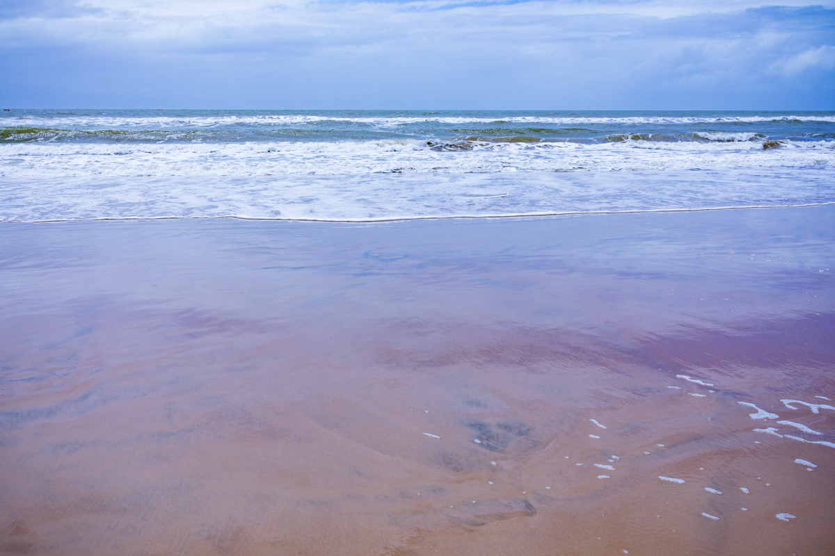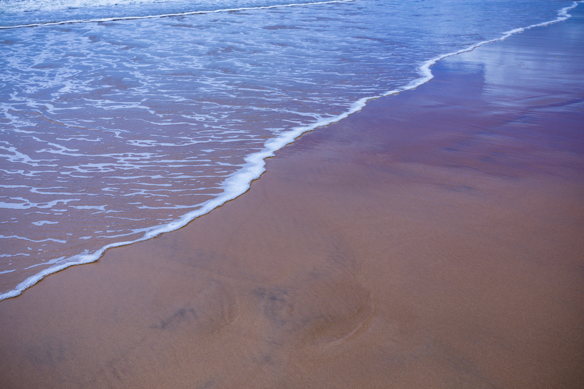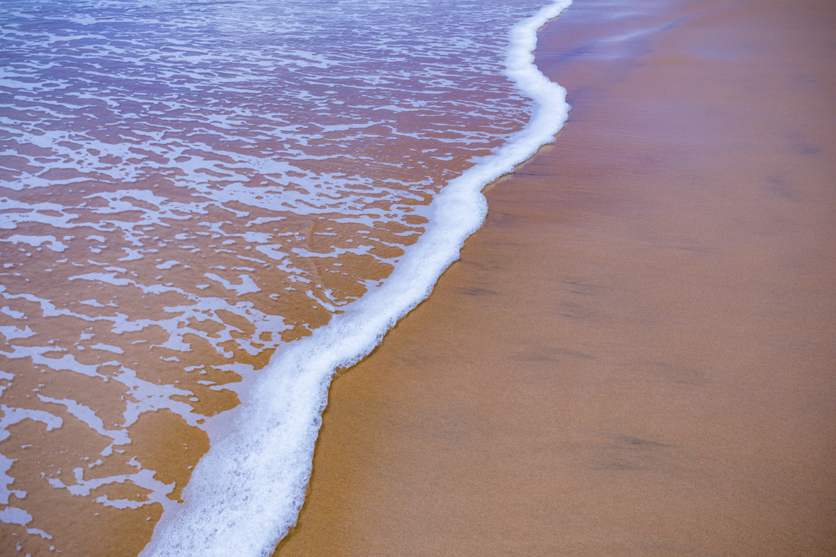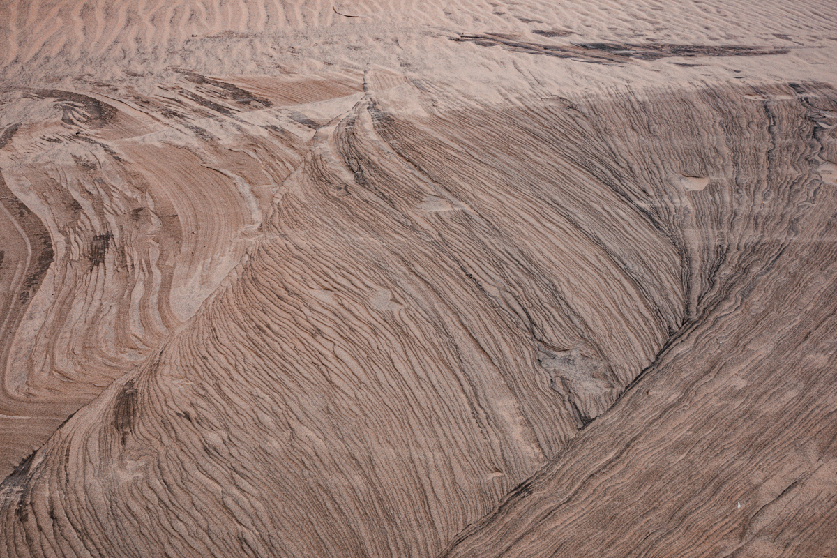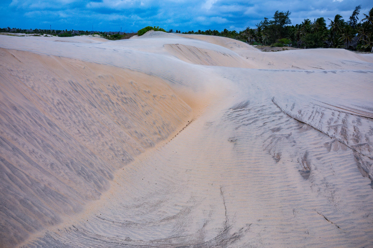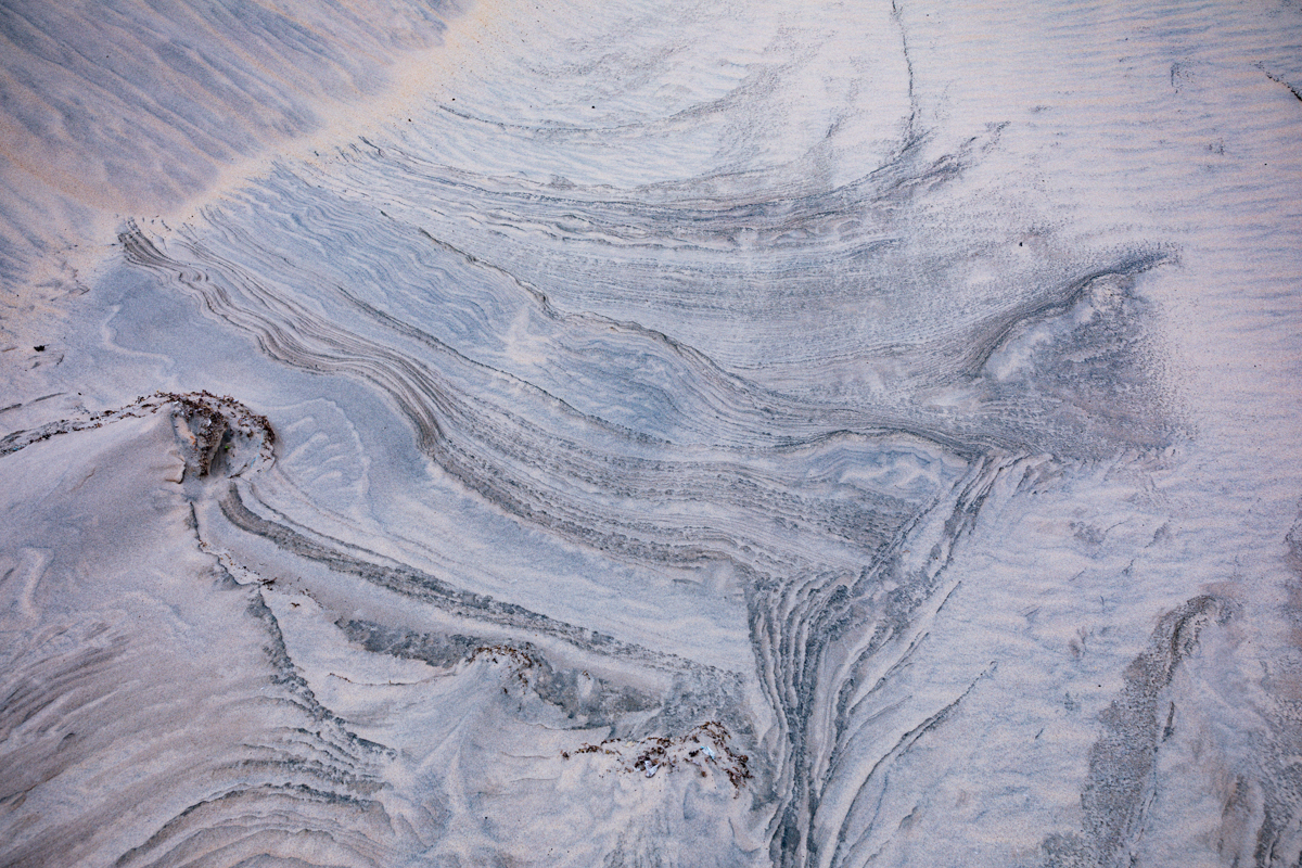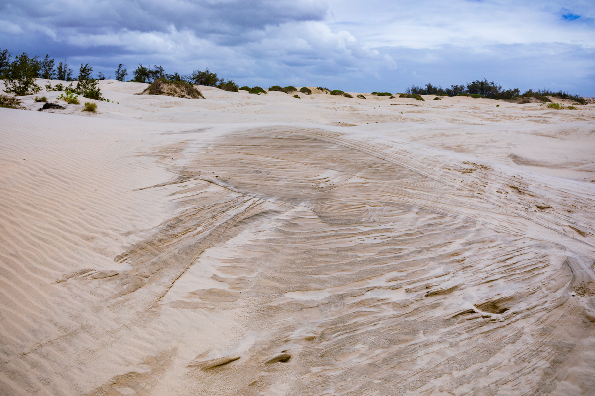
Mambrui Sand Dunes, Kenya: A Complete Travel and Documentary Guide to Kilifi County
Location: Mambrui, Magarini Sub-County, Kilifi County, Kenya
Region: Kenyan North Coast
Nearest major coastal town: Malindi
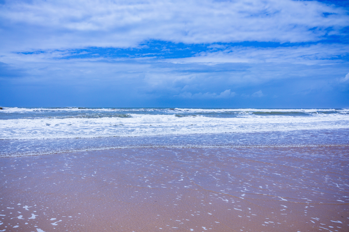
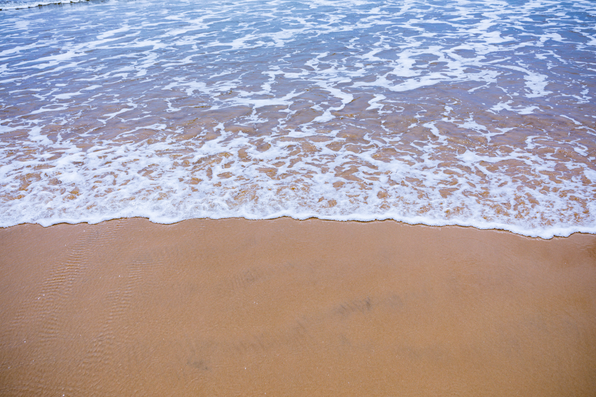
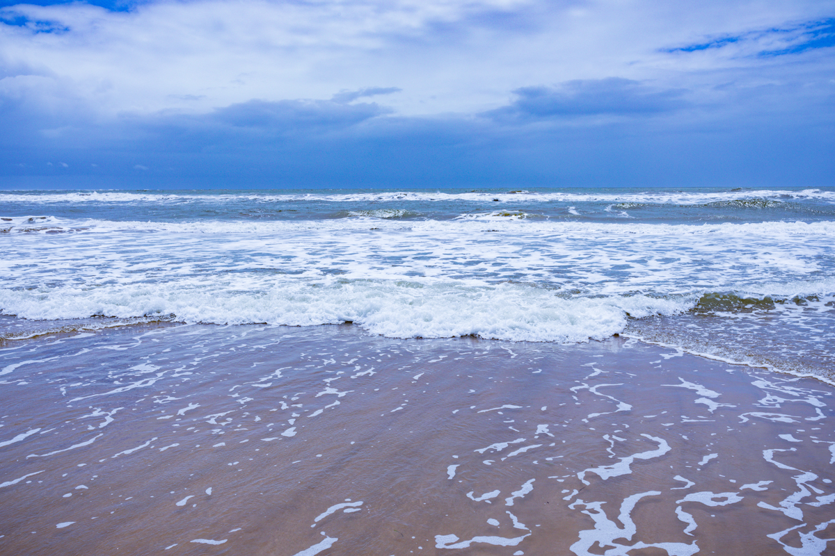
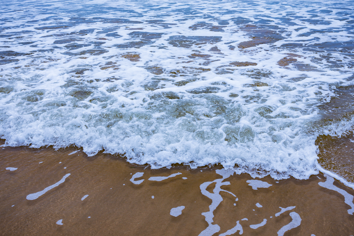
Landscape: Coastal sand dunes, sandy beaches, Indian Ocean shoreline and nearby estuarine ecosystems
Photography: Antony Trivet Photography
Last editorial review: November 2026
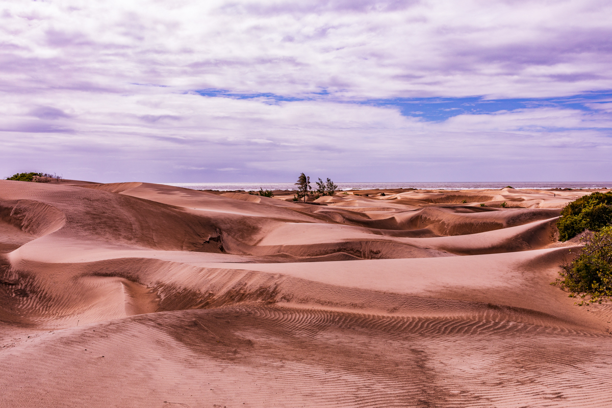
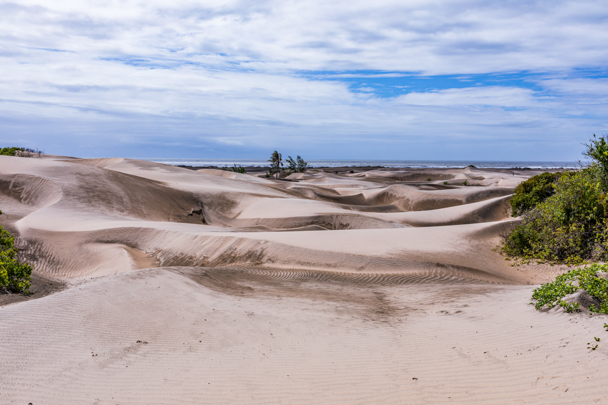
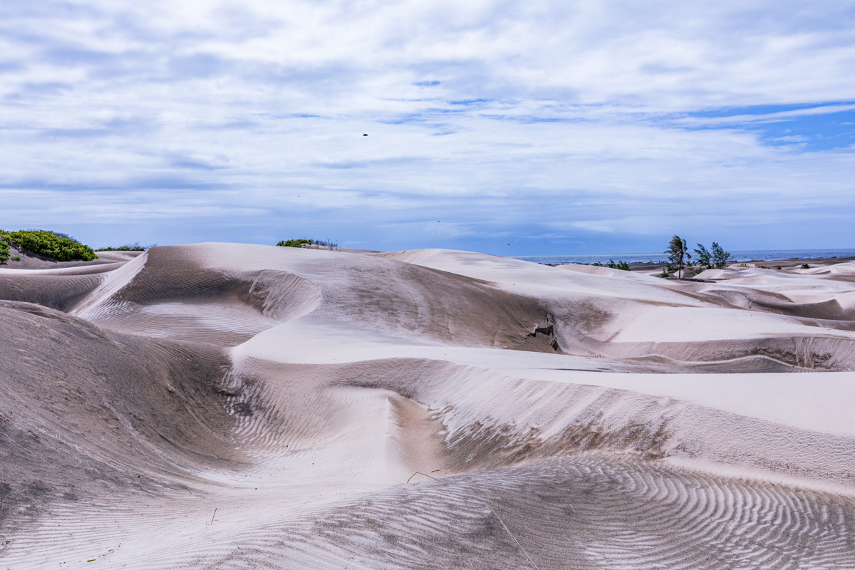
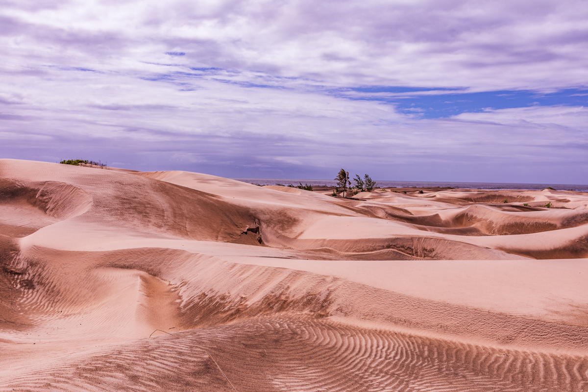
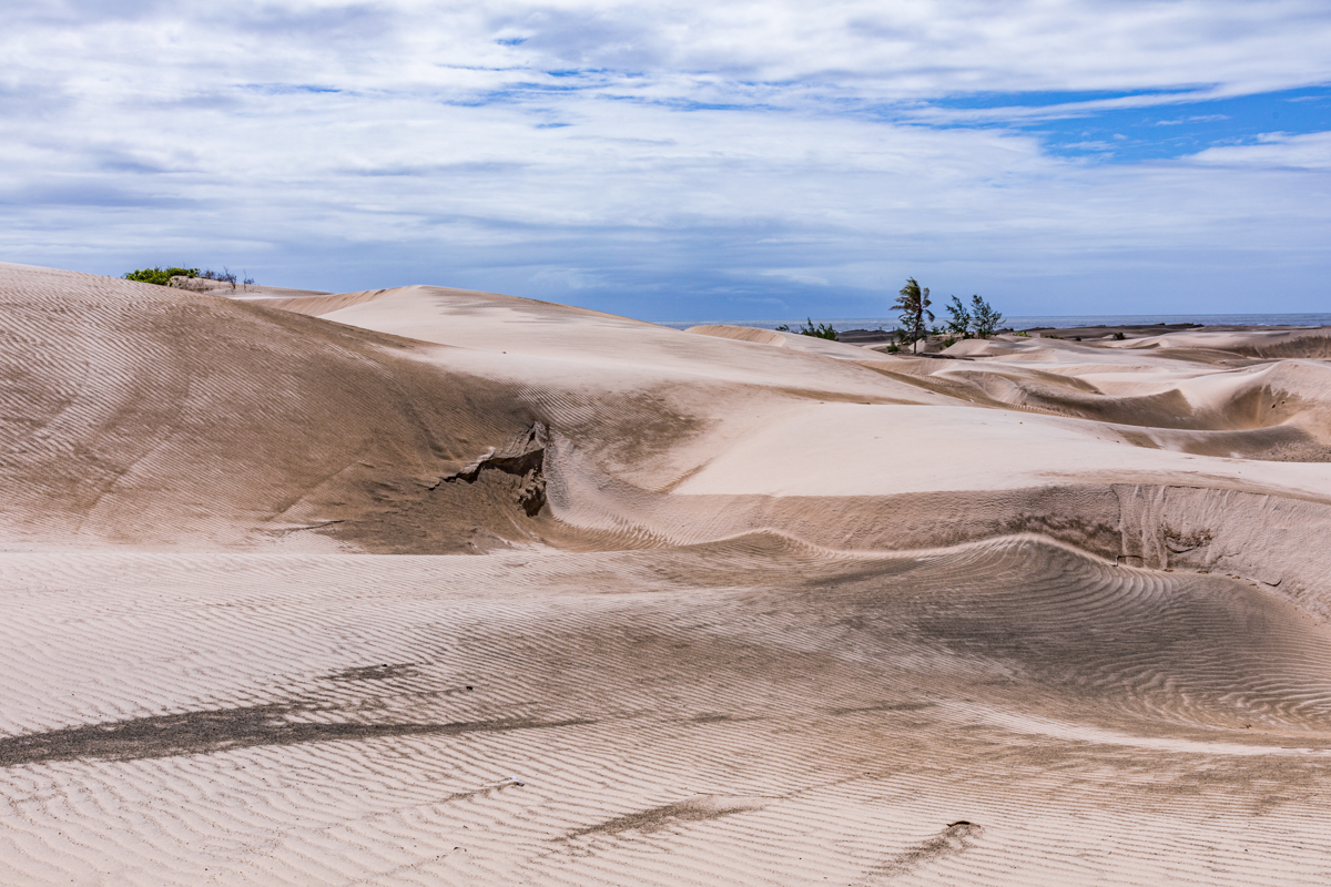
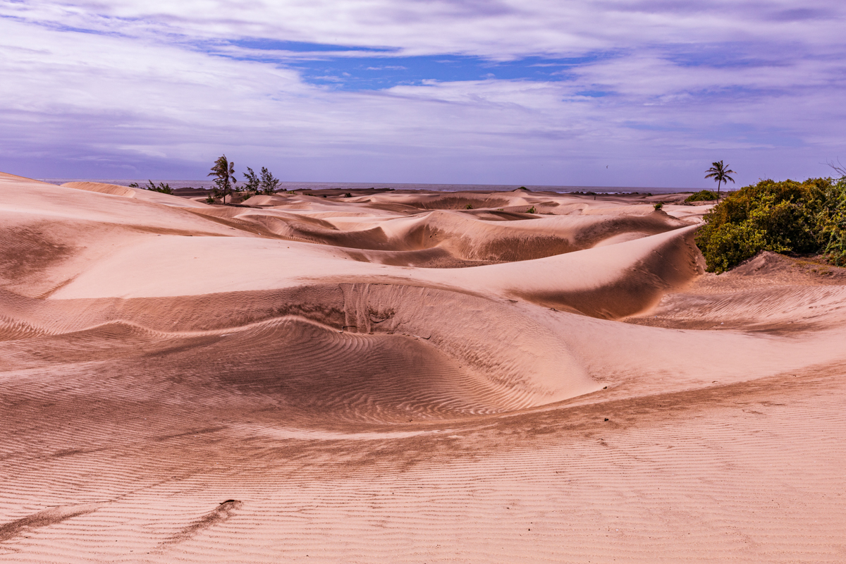
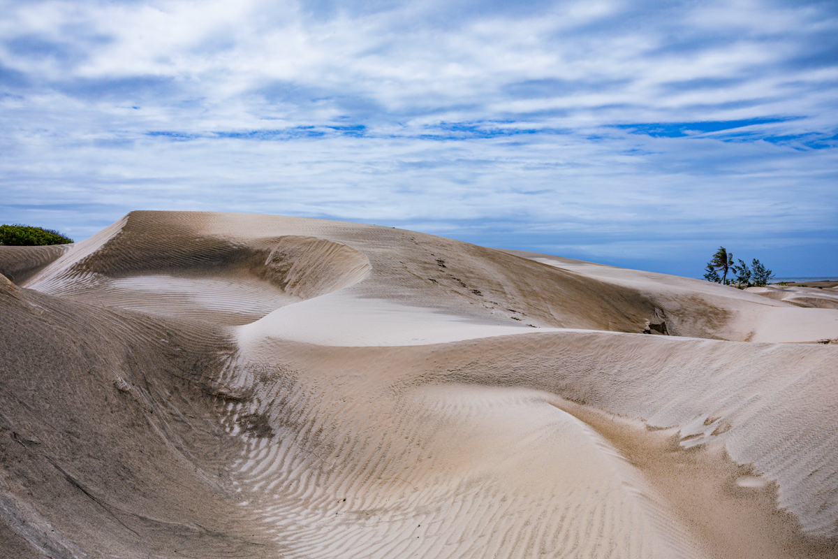
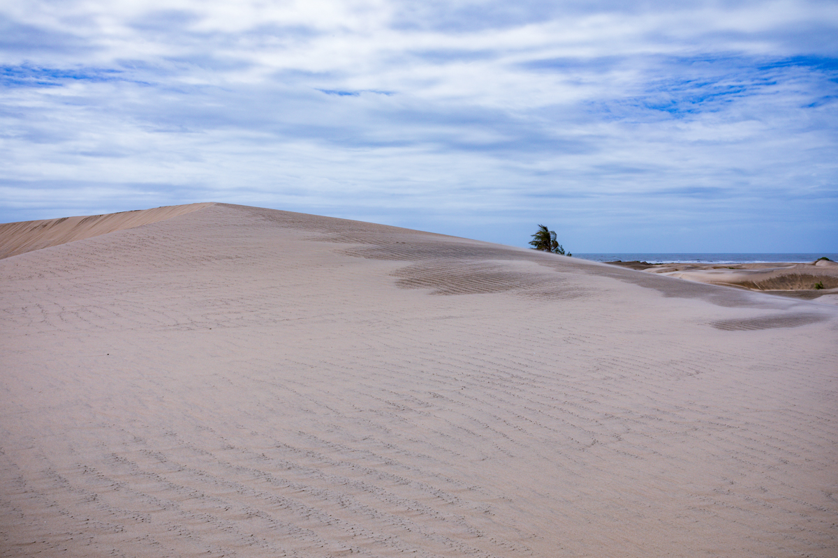
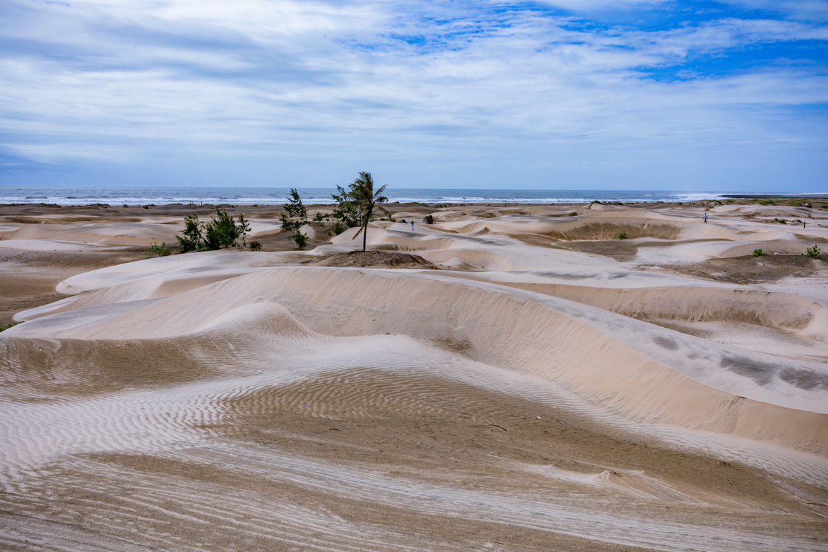
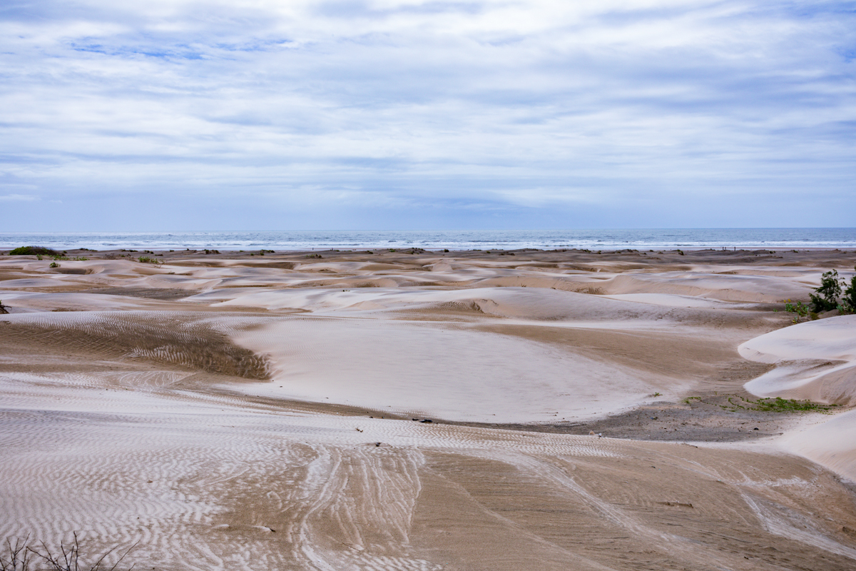
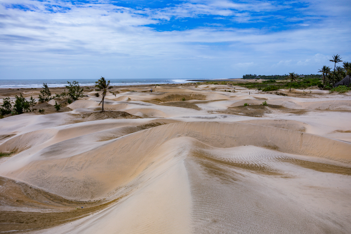
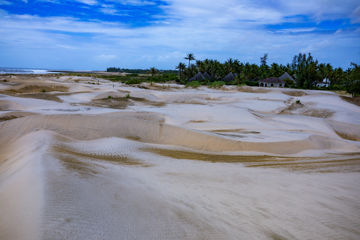
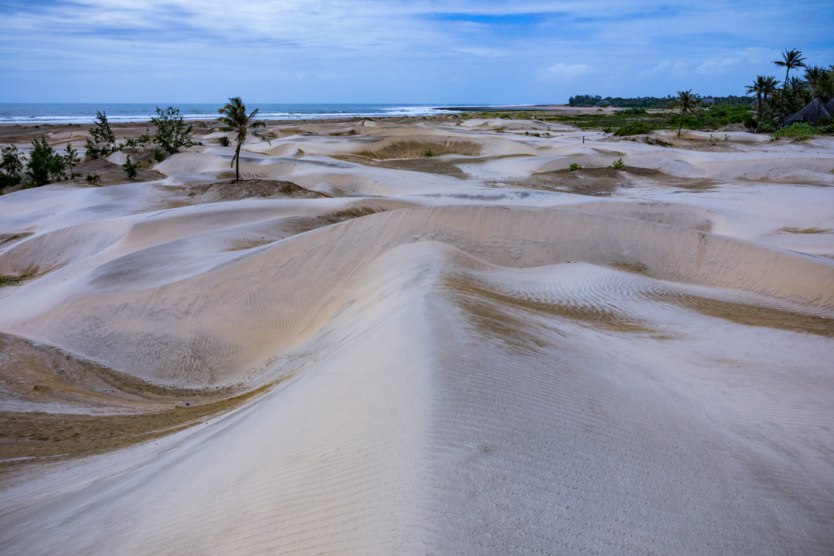
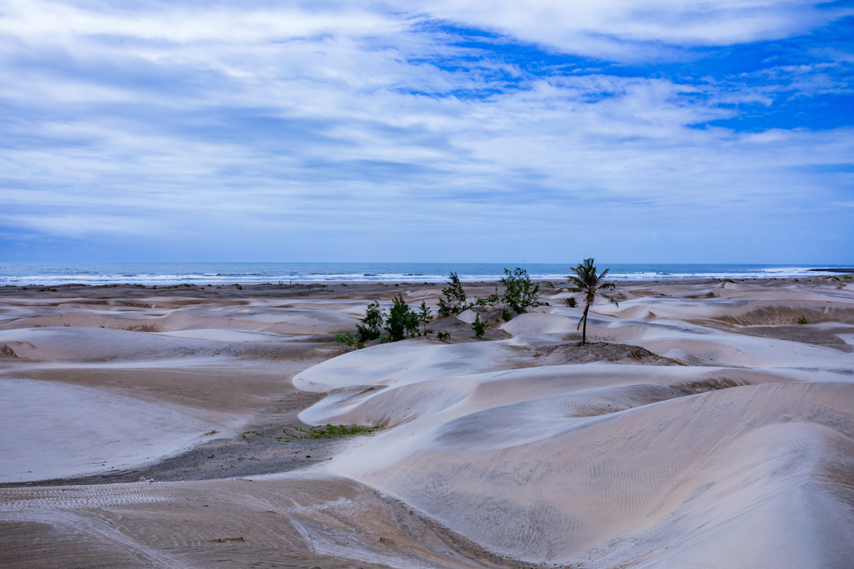
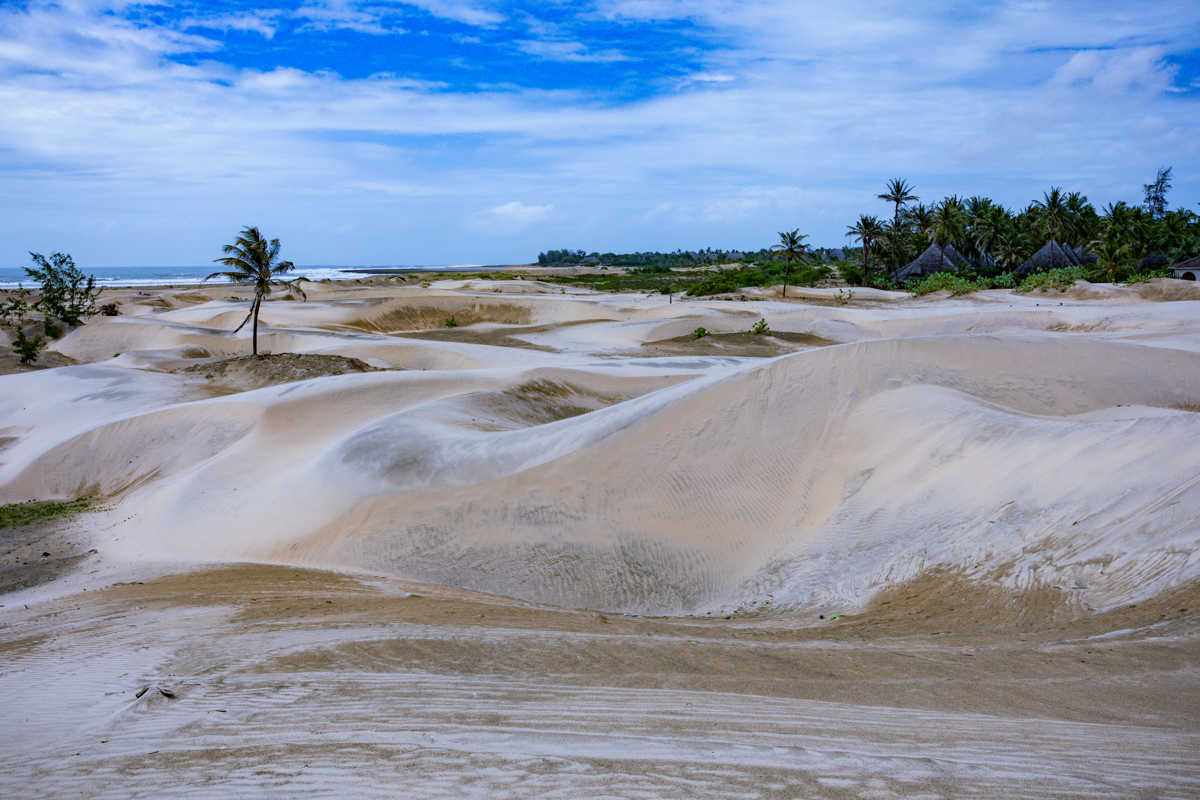
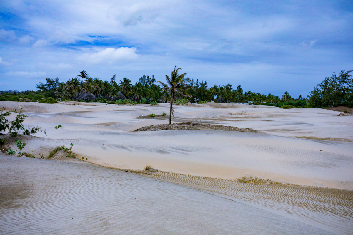
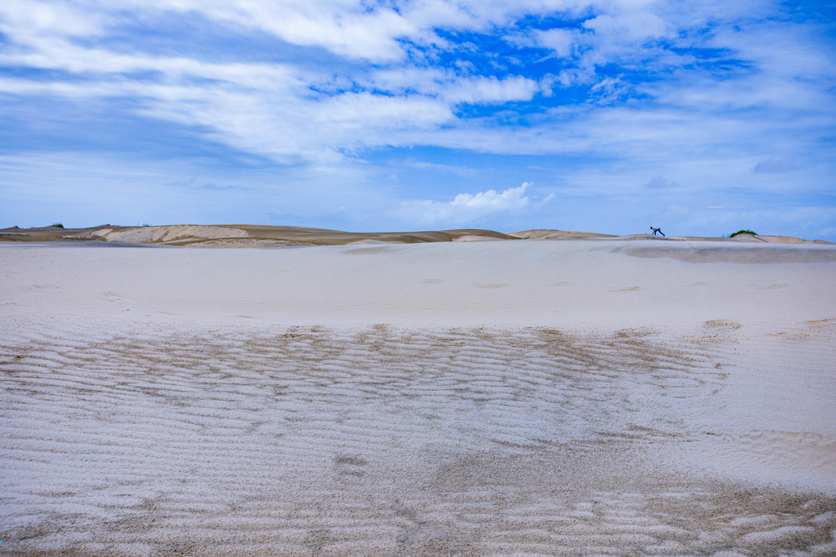
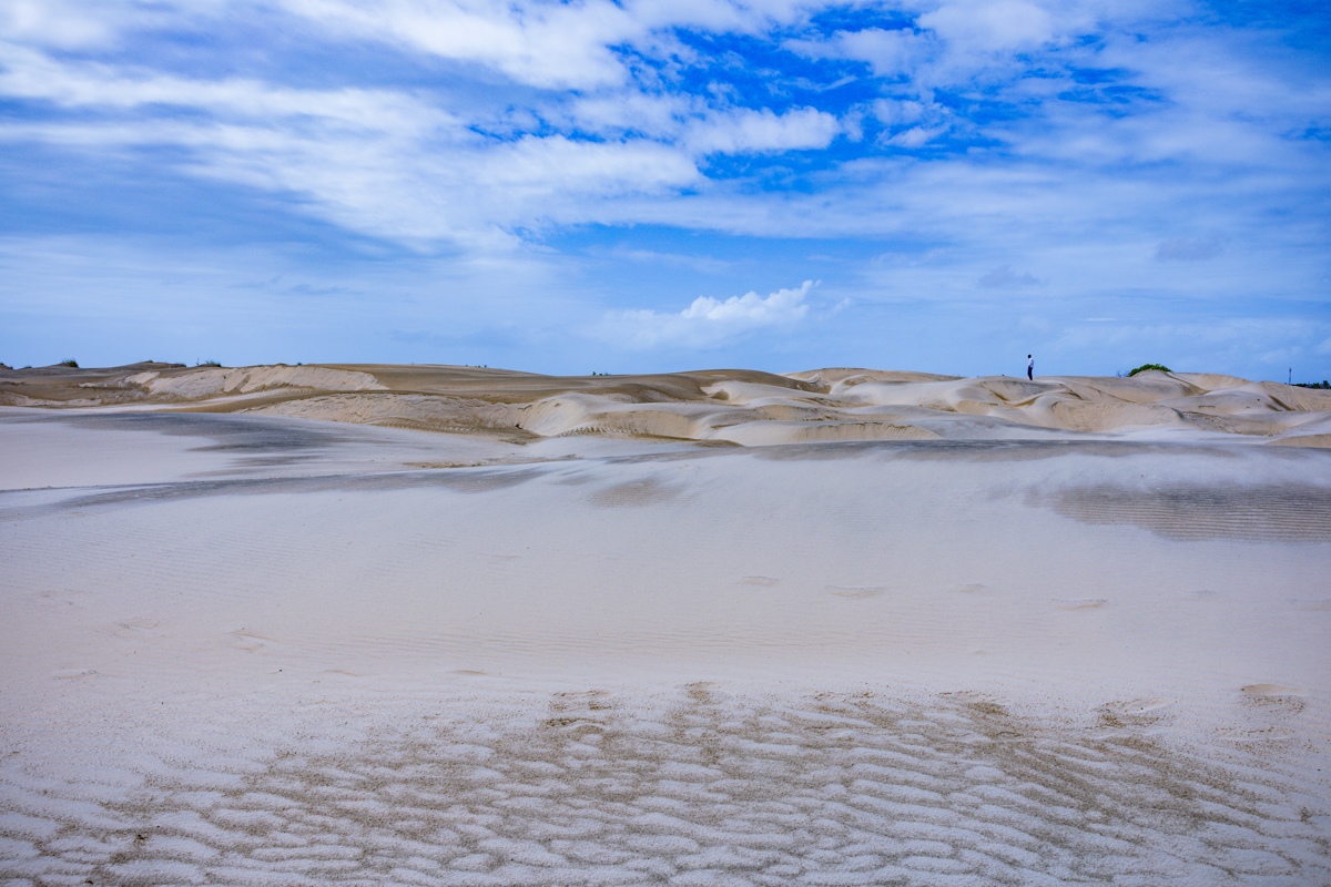
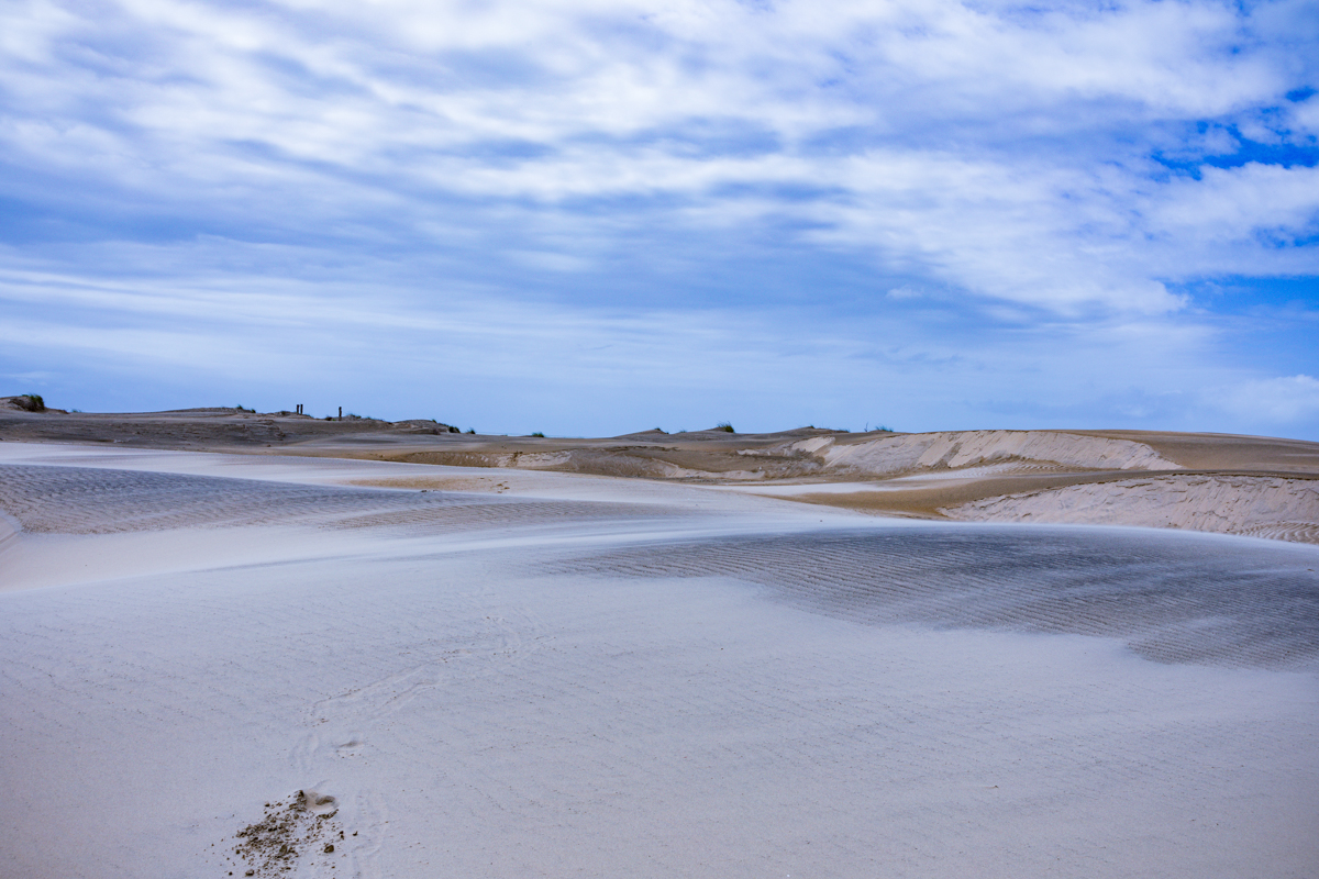
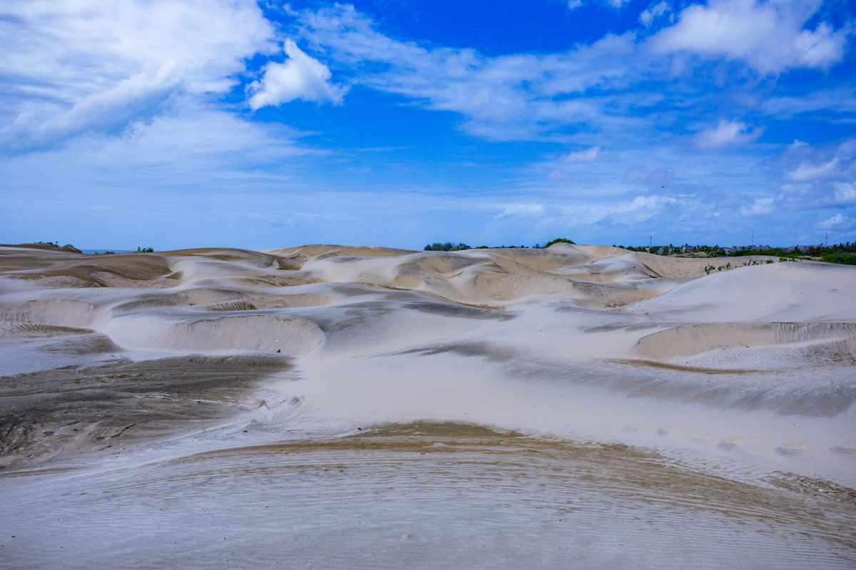
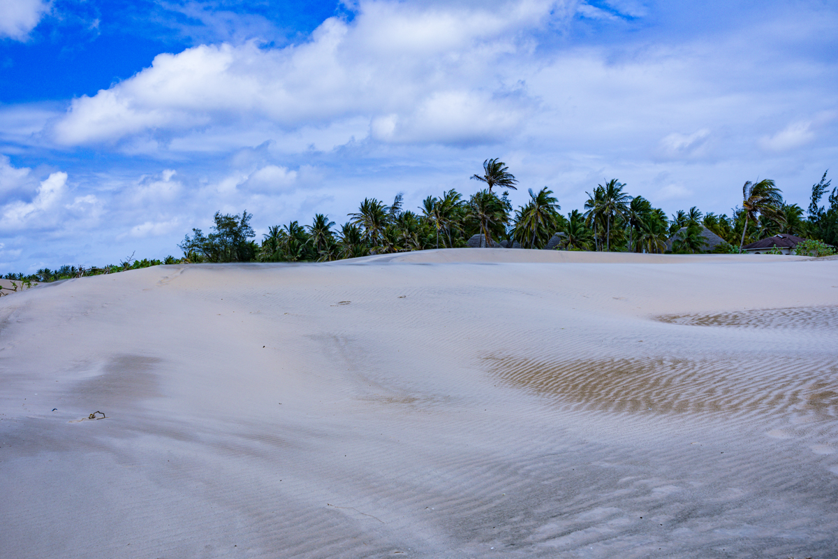
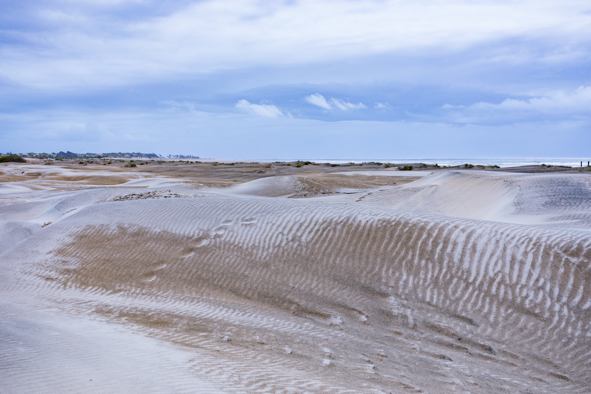
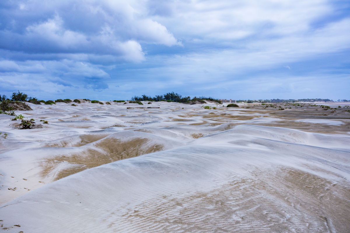
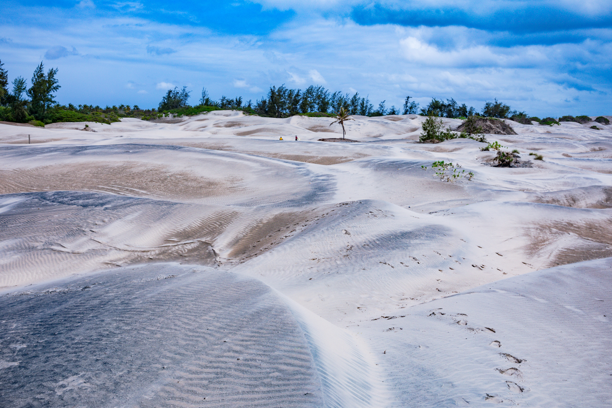
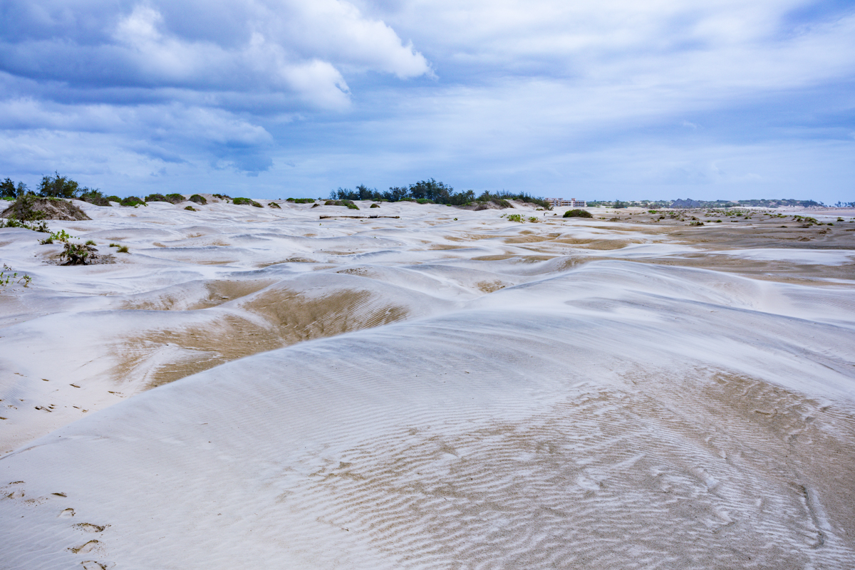
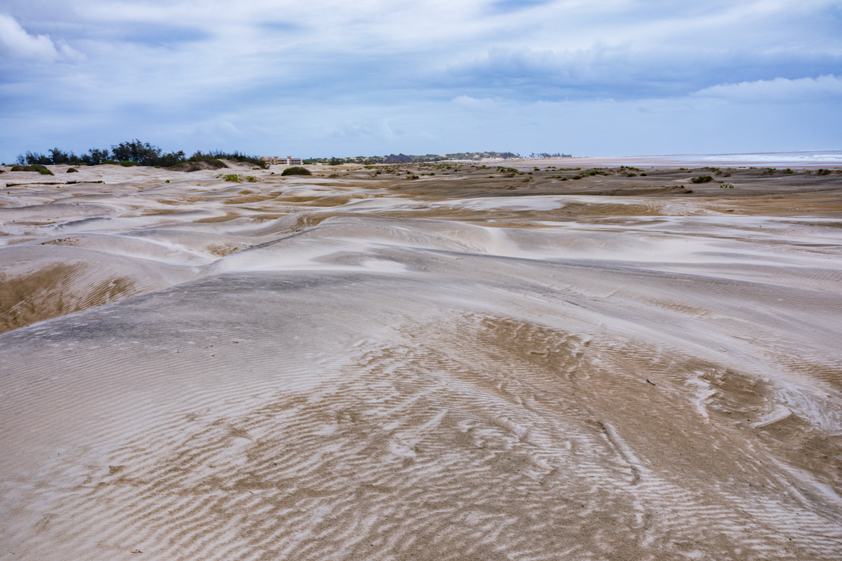
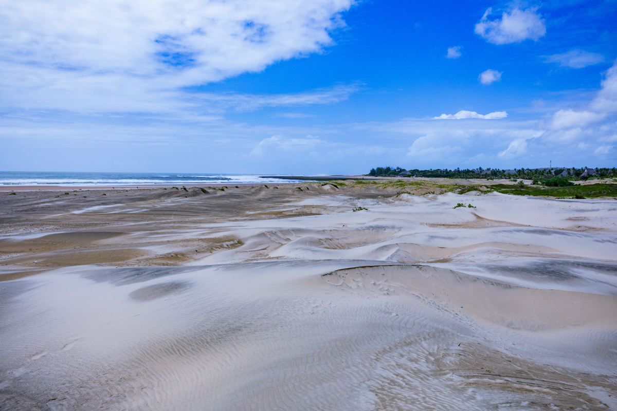
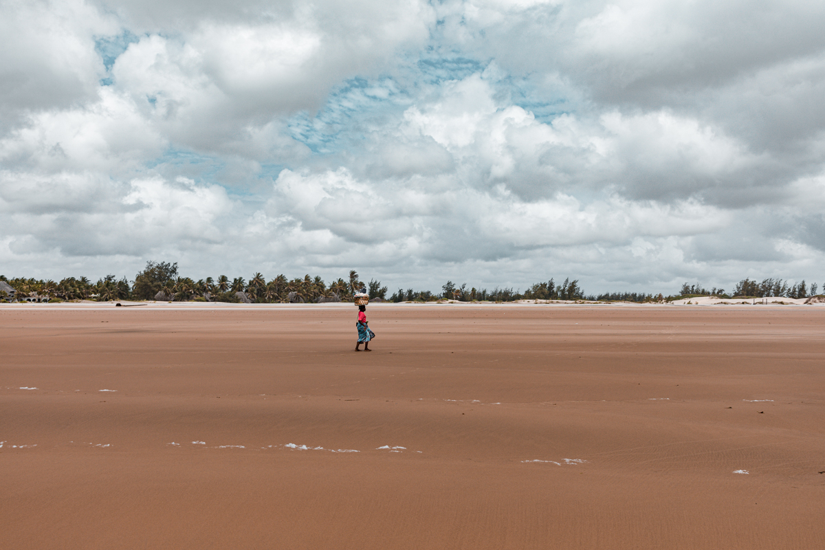
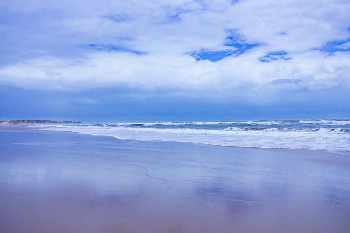
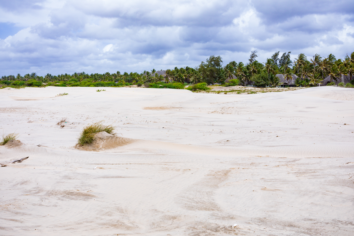
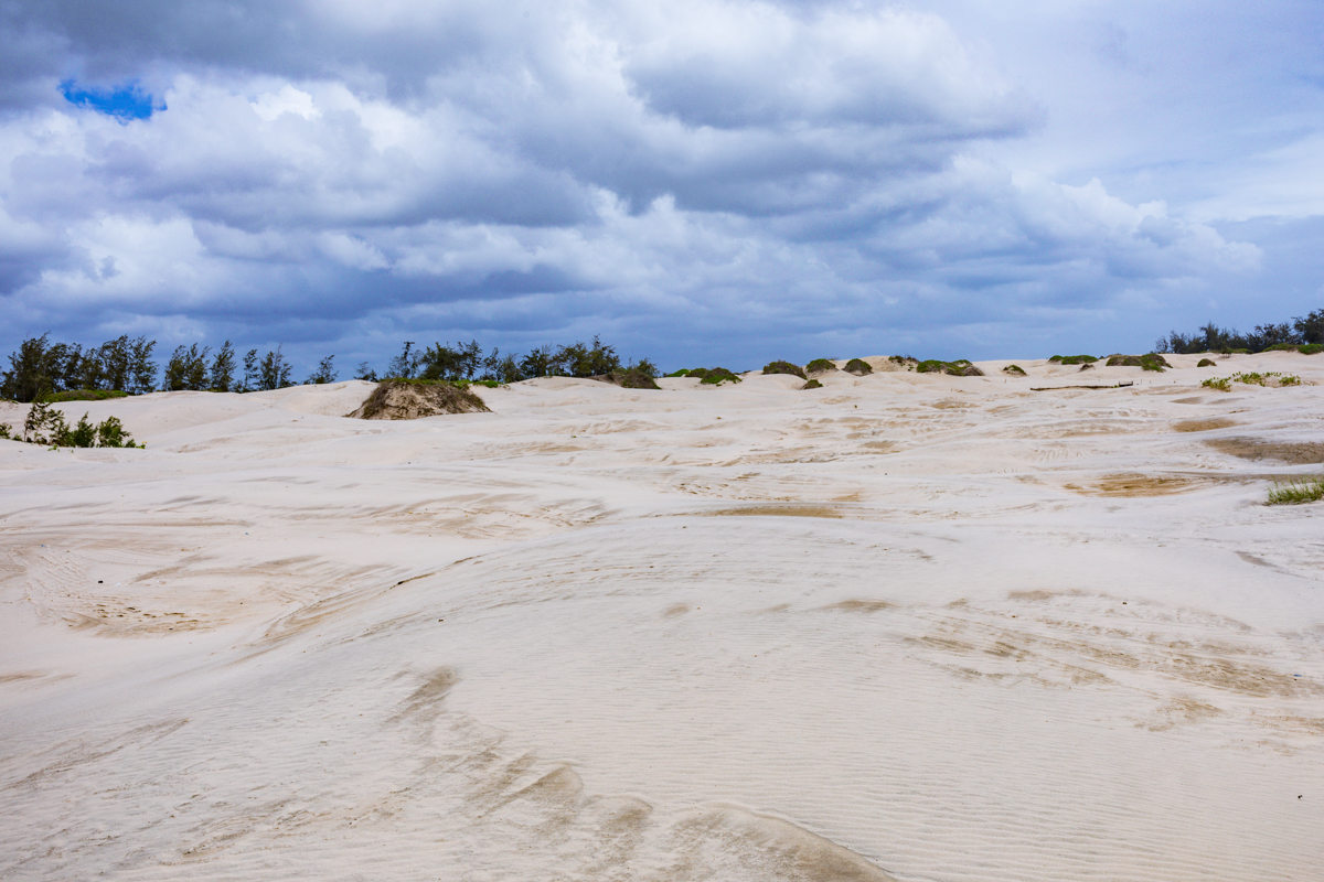
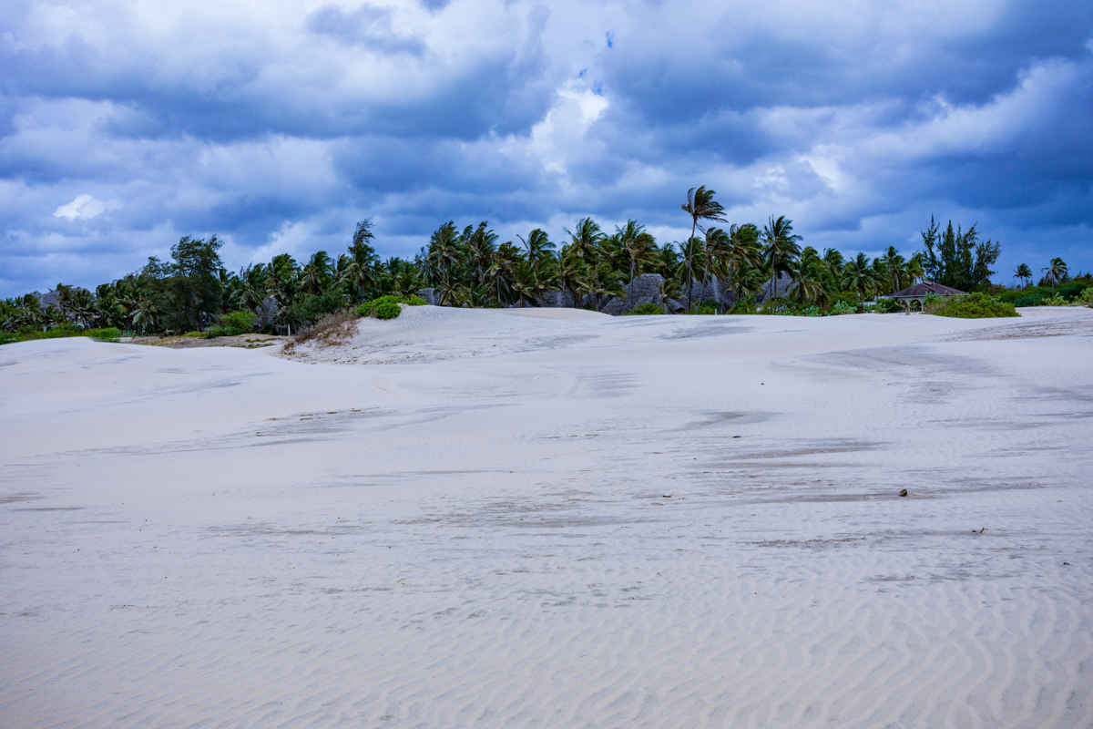
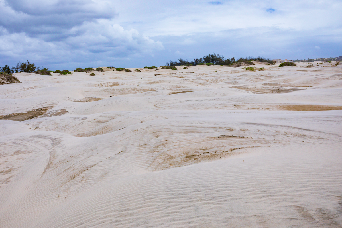
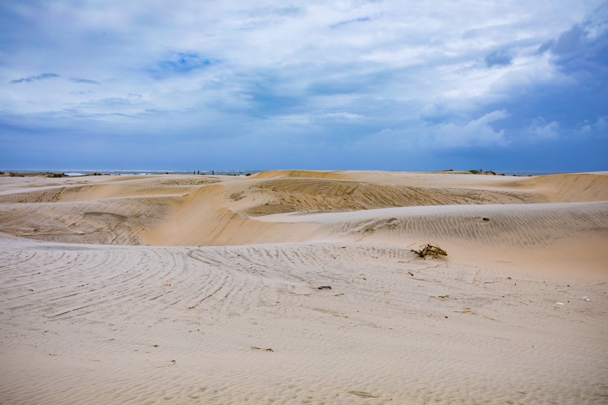
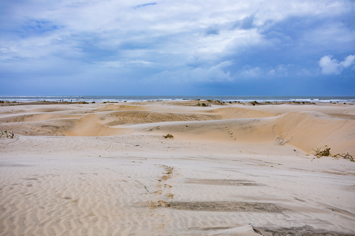
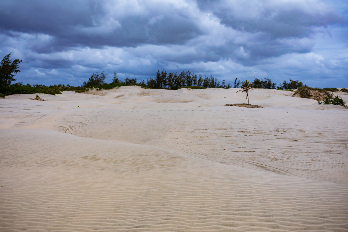
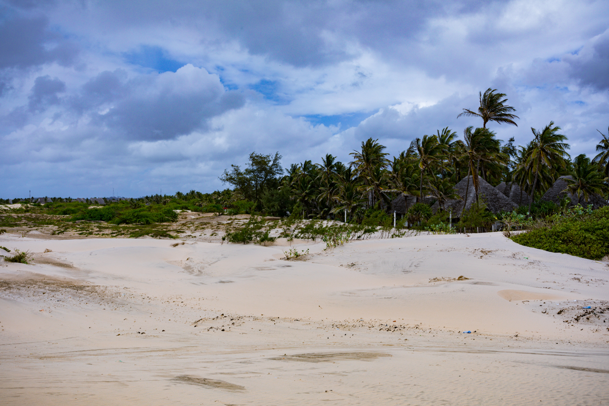
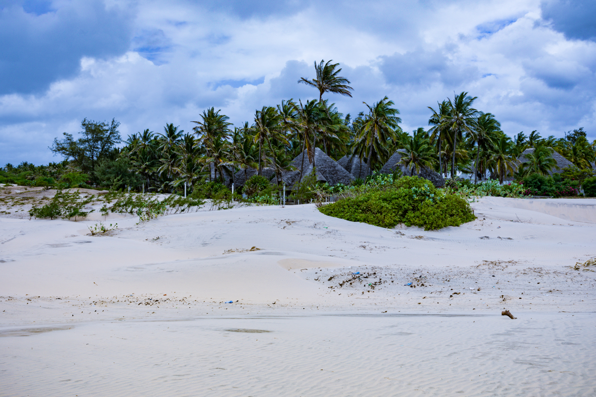
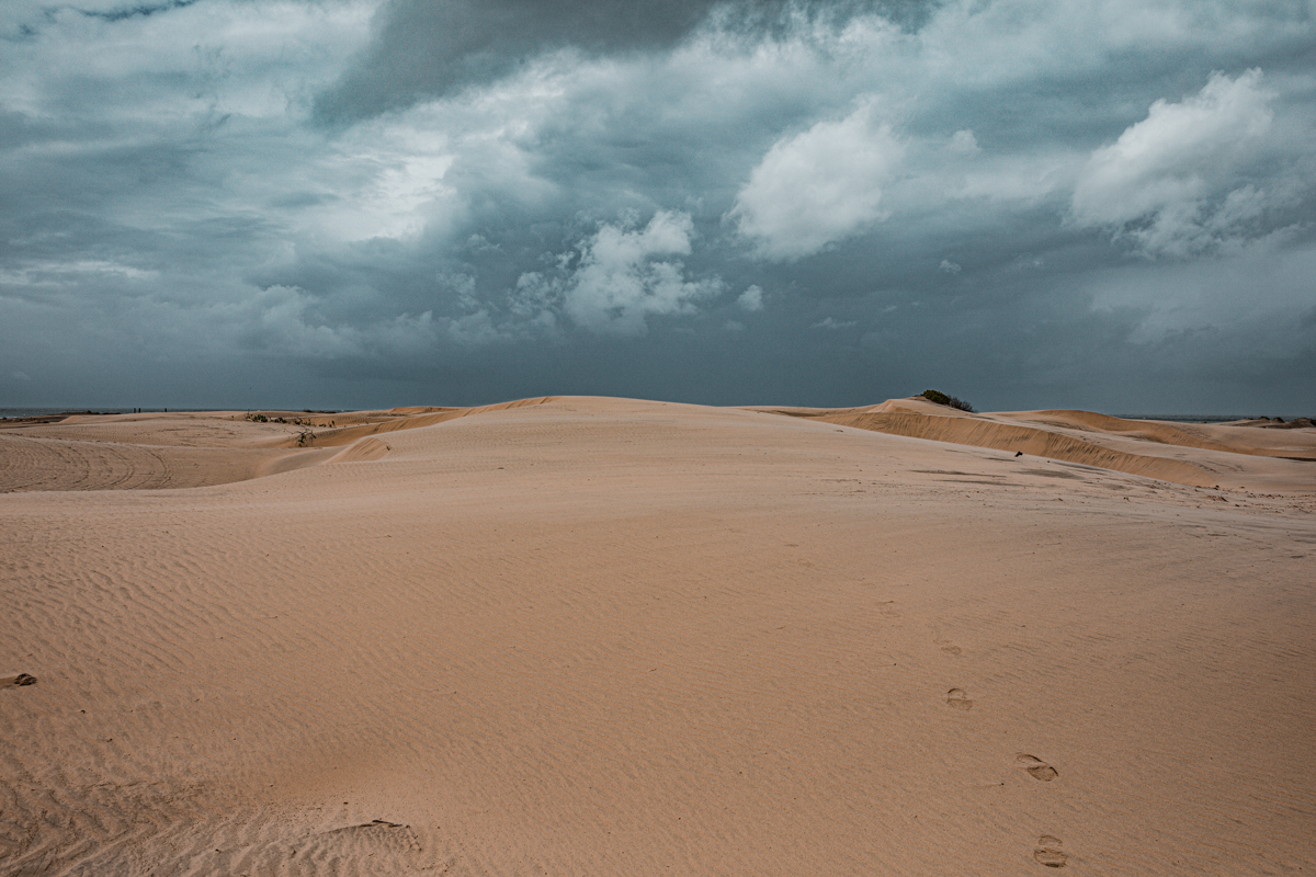
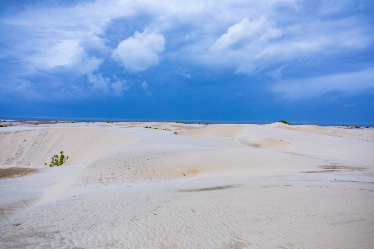
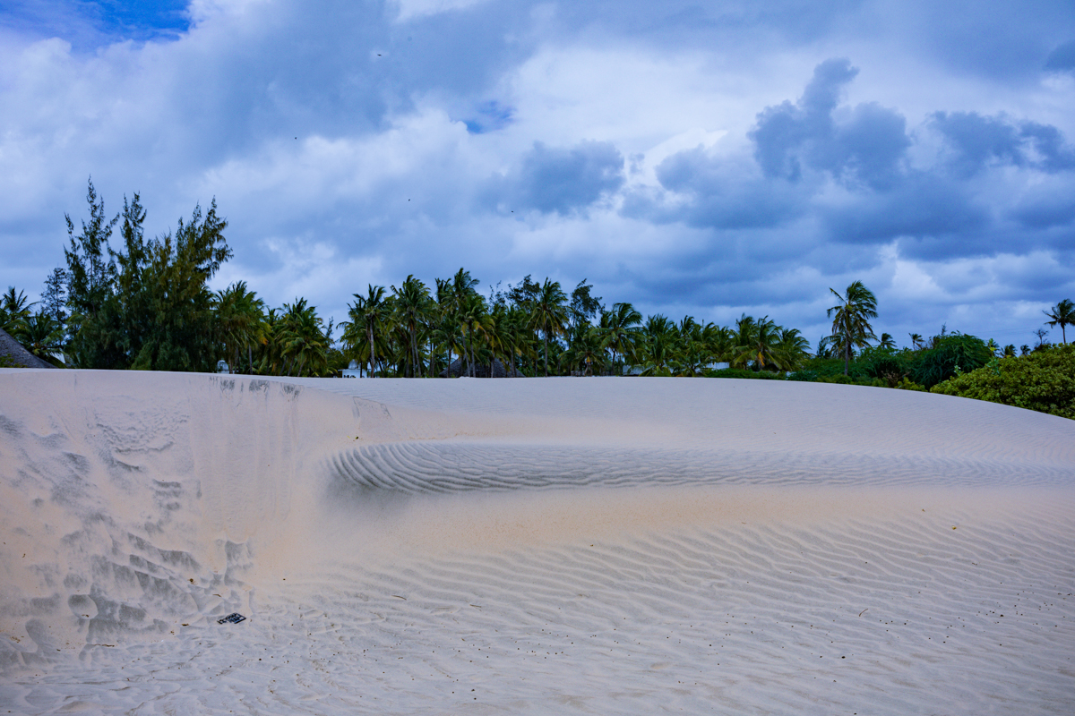
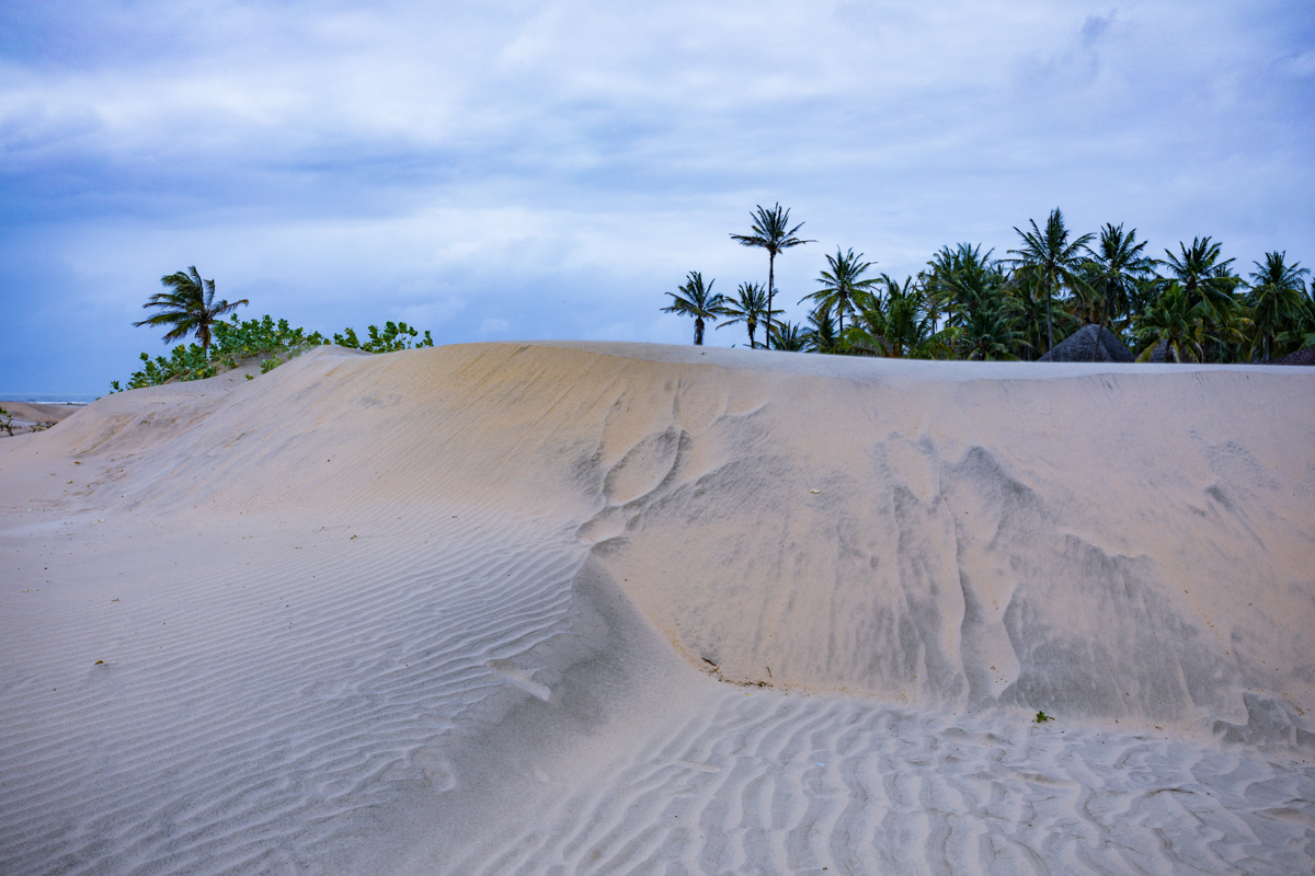
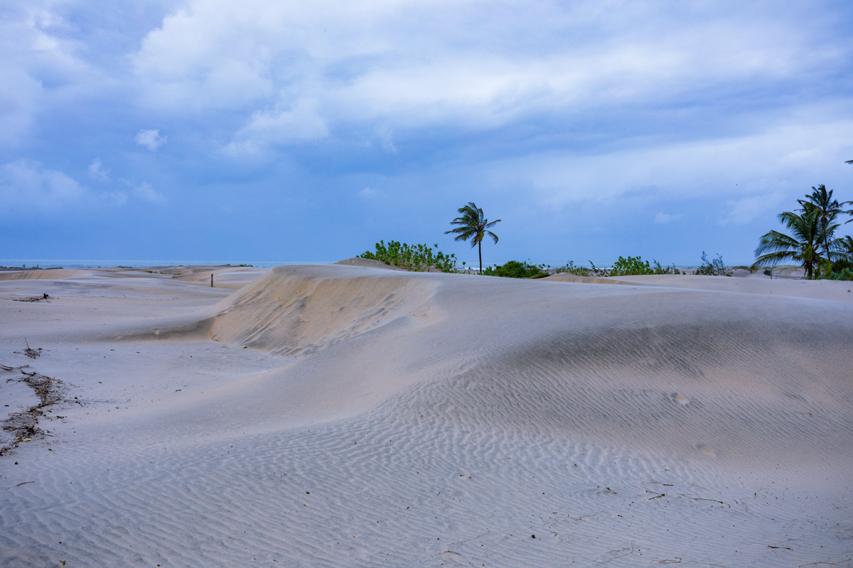
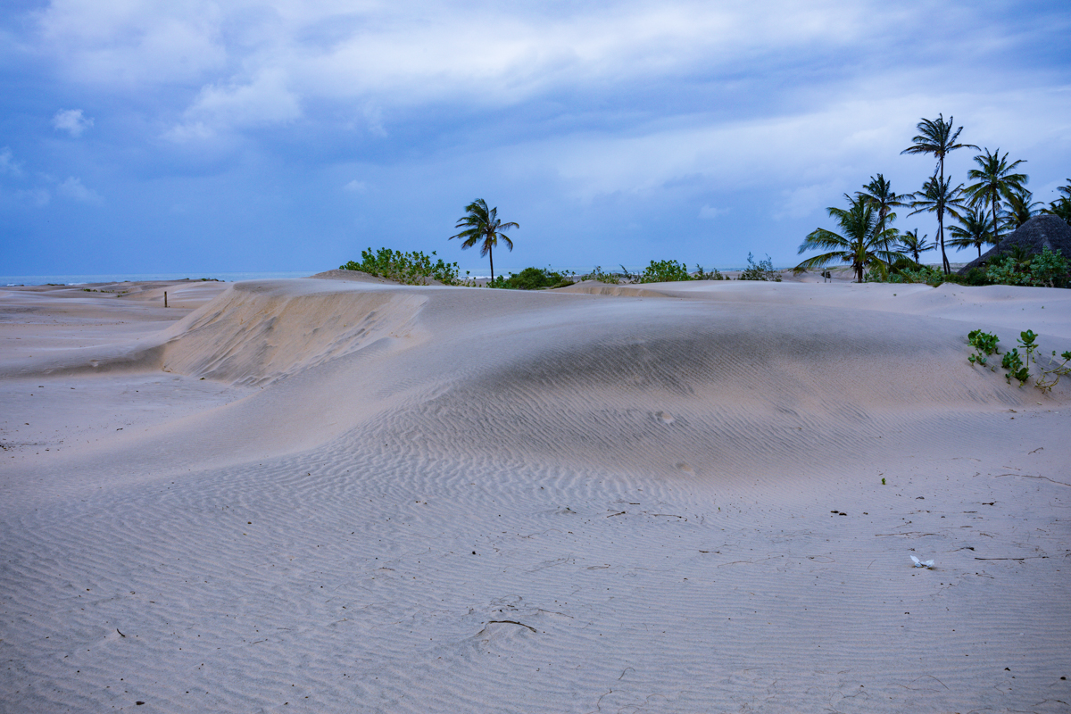
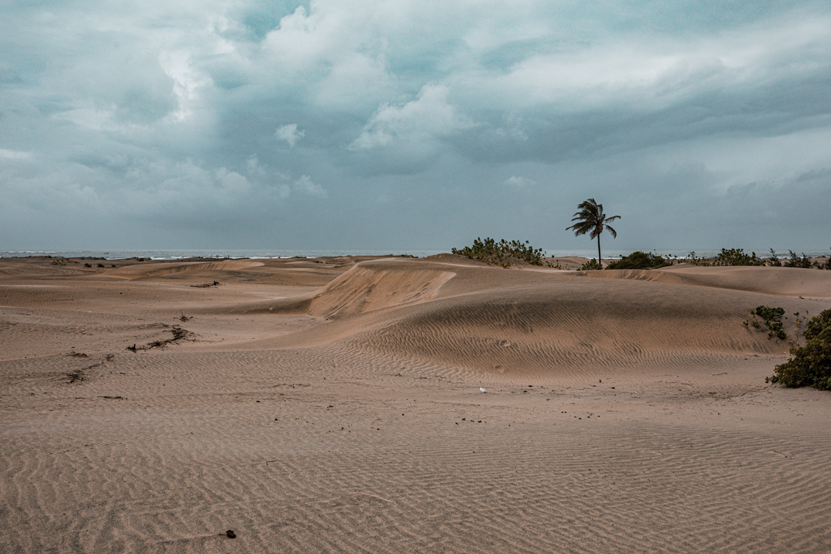
Along Kenya’s northern coastline, north of Malindi, lies one of the most distinctive landscapes of Kilifi County. Expansive coastal sand dunes rise beside the Indian Ocean, creating a striking contrast between sandy ridges, coastal vegetation, blue waters and the surrounding settlements. This is Mambrui, a coastal destination increasingly attracting attention from Kenyan travellers, international visitors, nature enthusiasts and photographers.
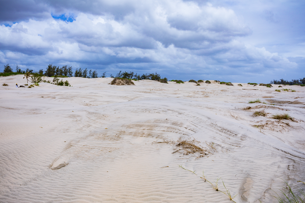
Popularly known as Dubai Ndogo, meaning Little Dubai, Mambrui has become recognised for its desert-like coastal scenery. The nickname reflects the visual resemblance of its expansive sand formations to the desert landscapes associated with the Gulf region. Yet Mambrui is not an inland desert. It is a dynamic coastal environment shaped by sediment movement, ocean currents, wind, vegetation and the wider Athi-Galana-Sabaki River system.
The landscape also has a story that extends far beyond its appearance. For generations, shifting sand has influenced the lives of surrounding communities, affected properties and infrastructure, and changed sections of the coastline. Today, the same dunes are becoming an increasingly important source of tourism and livelihood for local residents, particularly young people involved in community-based tourism.
Nearby, the Sabaki River empties into the Indian Ocean, forming an ecologically important estuary containing sandbanks, mudflats, mangroves, freshwater pools and habitats for resident and migratory birds. Together, these environments create an interesting coastal landscape where natural processes, biodiversity, community livelihoods and tourism intersect.
For visitors exploring the Kenyan coast, Mambrui offers a different experience from the conventional beach holiday. It is a destination for landscape exploration, guided dune experiences, birdwatching, photography and learning about the changing relationship between people and their natural environment.
This comprehensive travel guide by Antony Trivet Photography explores Mambrui’s geographical setting, formation of its dunes, connection to the Sabaki River, biodiversity, local communities, tourism activities, environmental challenges, access arrangements and practical considerations for visitors.
1. Where Are Mambrui Sand Dunes Located in Kenya?
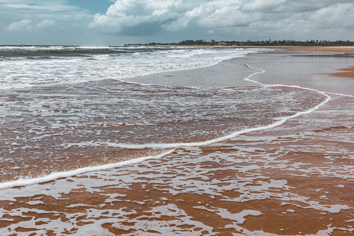
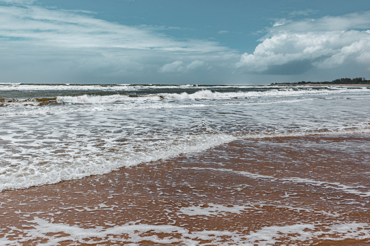
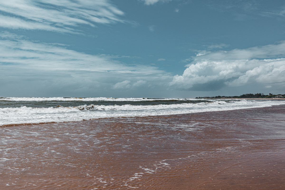
Mambrui is a coastal settlement in Magarini Sub-County, Kilifi County, along Kenya’s Indian Ocean coastline. It is situated north of Malindi, within the northern section of the Kenyan coastal tourism corridor.
The destination is accessible from Malindi through the road connecting the town with Mambrui and other northern coastal settlements.
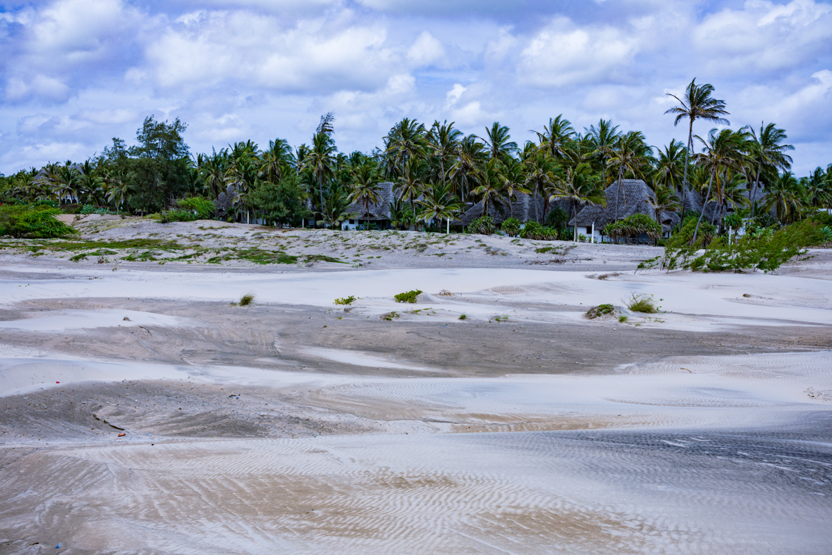
The surrounding landscape includes sandy beaches, extensive coastal dune formations, vegetation, rural settlements and sections of land used for local economic activities.
Mambrui is geographically connected to the wider coastal environment surrounding the Sabaki River Mouth, although the dunes and the estuary should be understood as distinct geographical and ecological areas.
The Sabaki River enters the Indian Ocean north of Malindi, creating an estuarine environment that is important for biodiversity, fisheries and coastal conservation.
Malindi is the most practical starting point for many visitors. It provides accommodation, restaurants, transport services and other facilities that are less readily available at the dune access points themselves.
For international travellers arriving through Malindi International Airport, the destination can be incorporated into a wider northern Kilifi coastal itinerary.
2. Mambrui Sand Dunes: Why Is This Coastal Landscape Special?
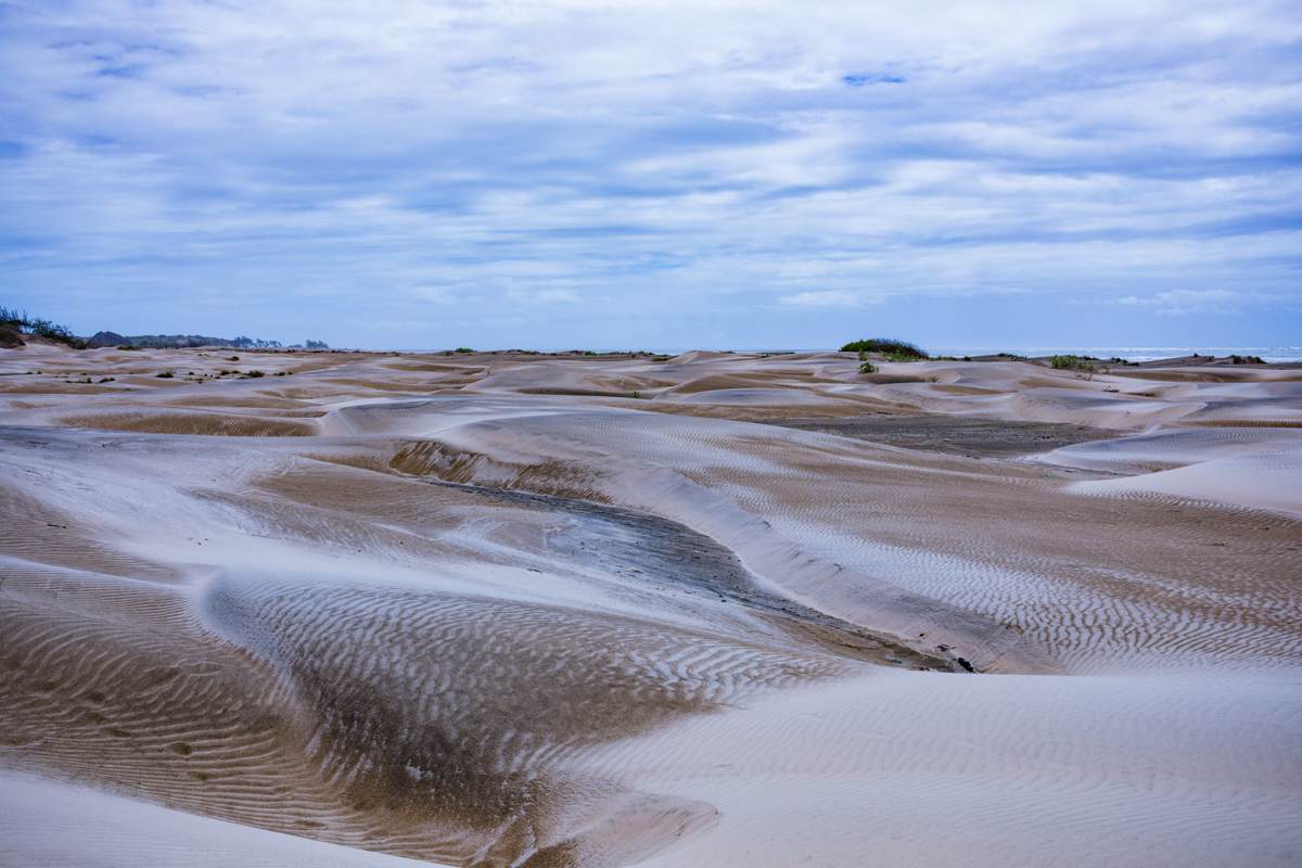
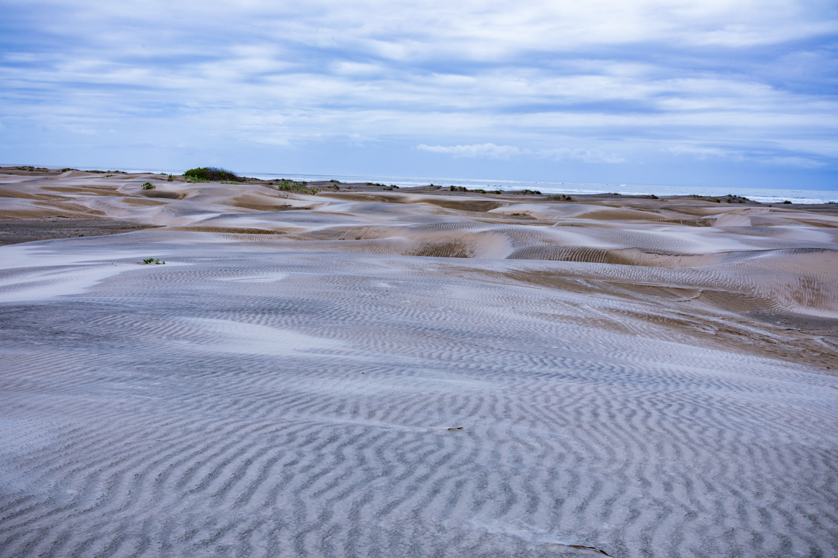
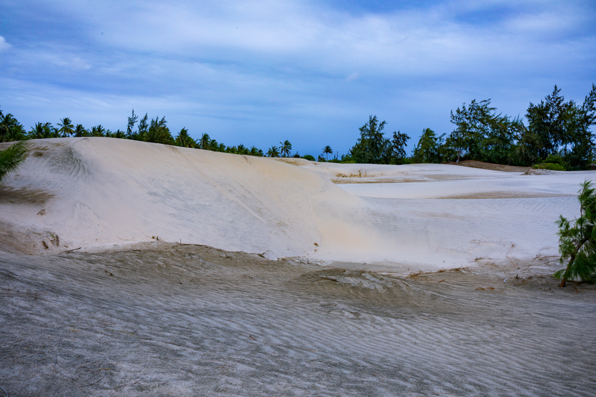
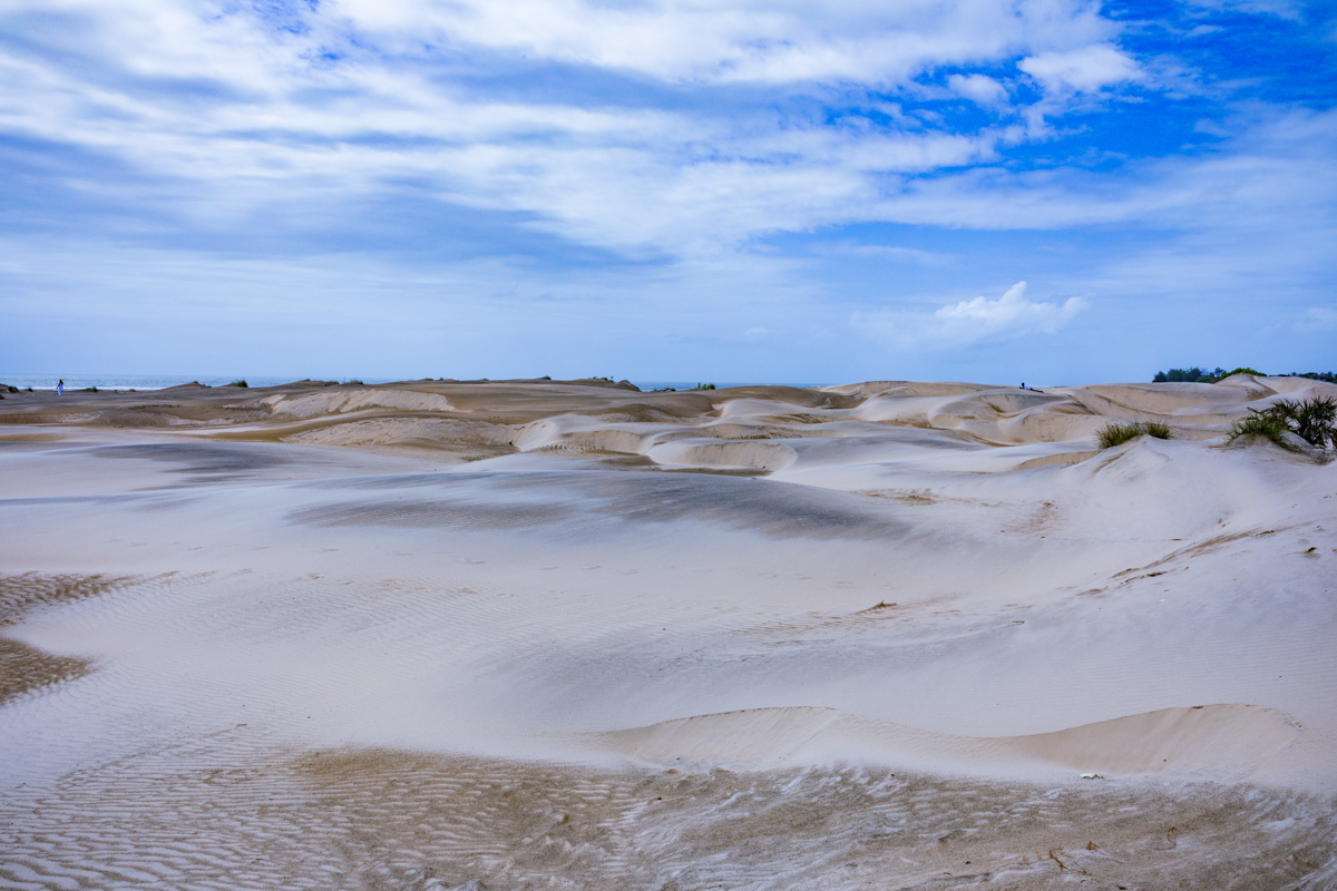
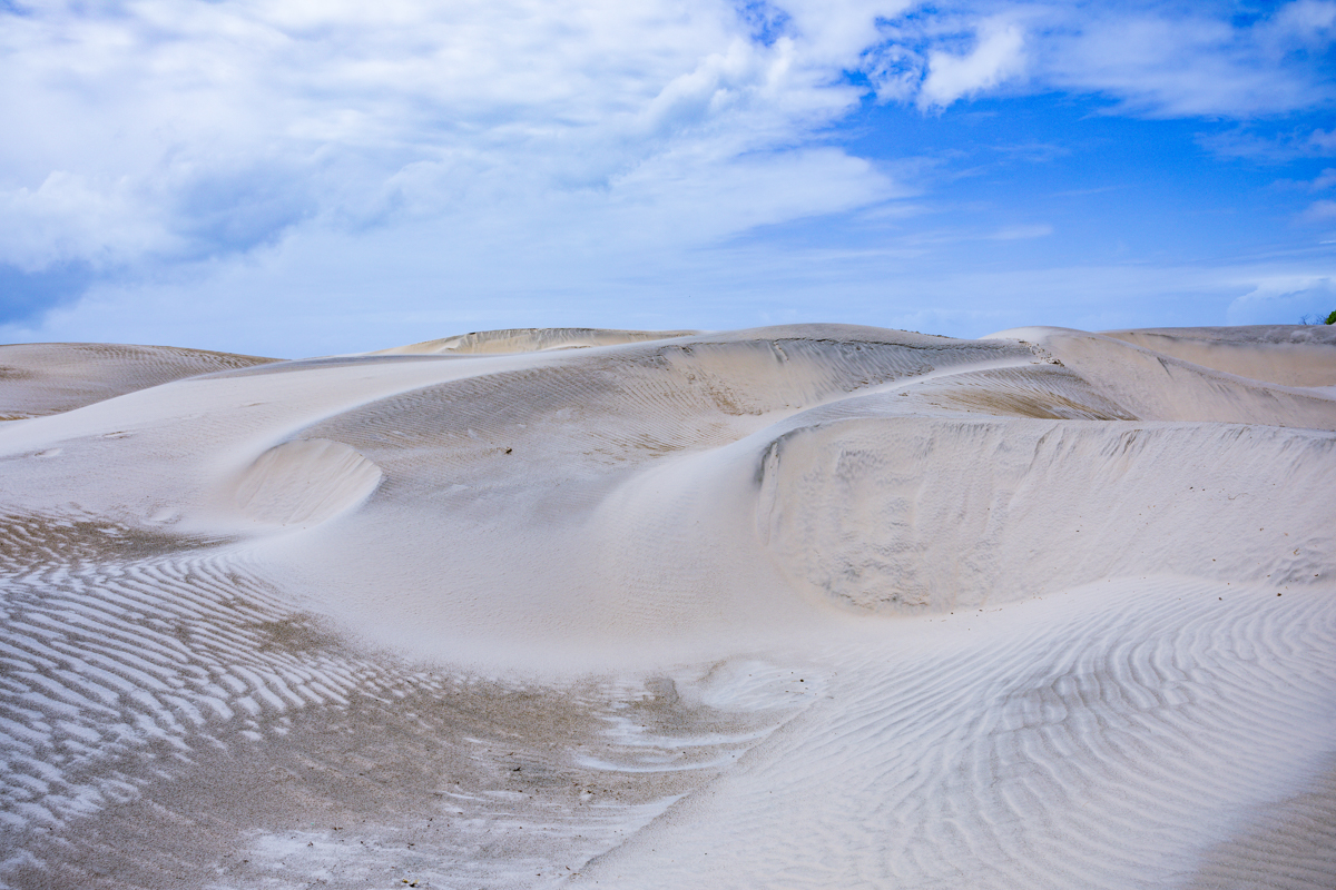
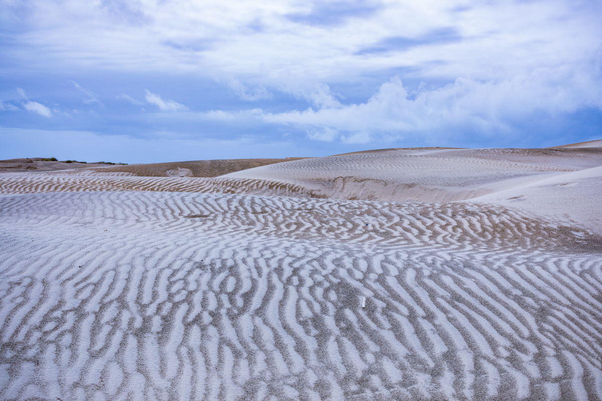
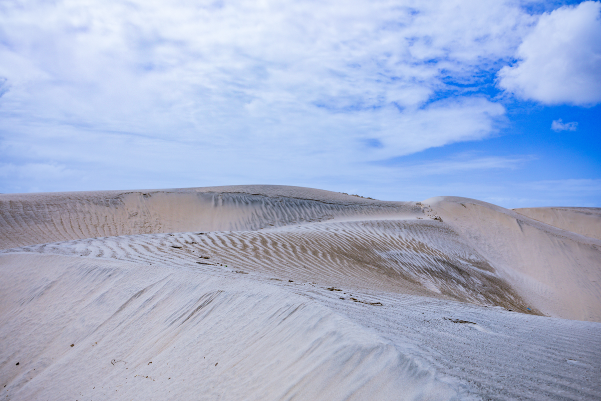
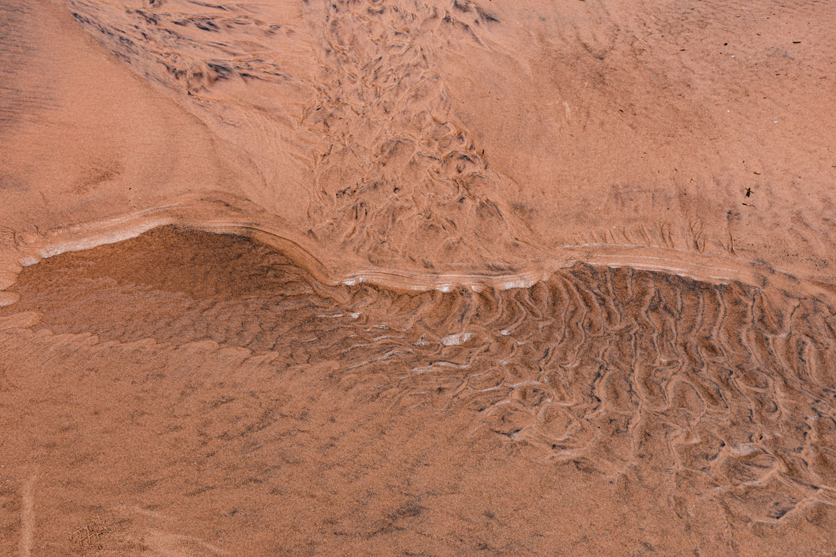
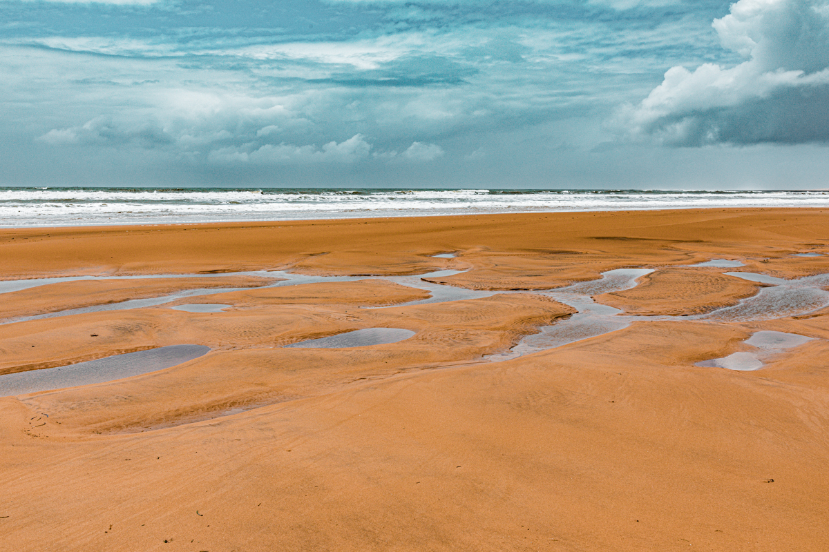
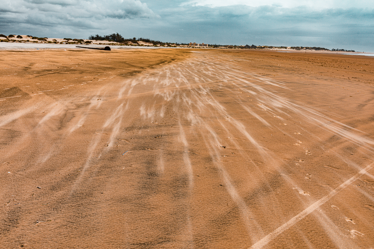
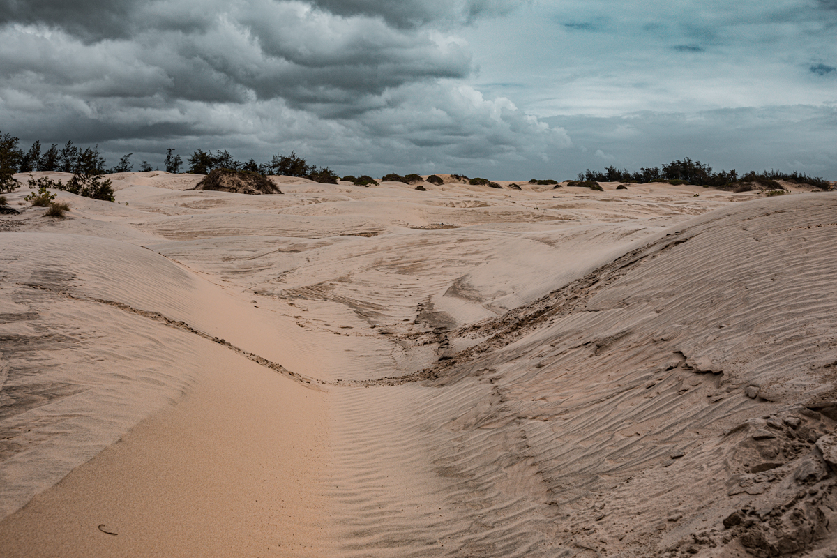
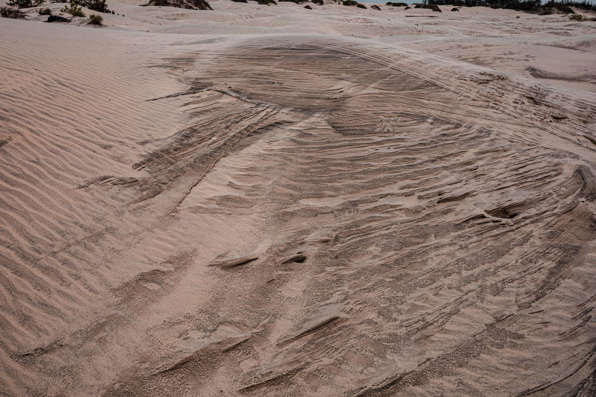
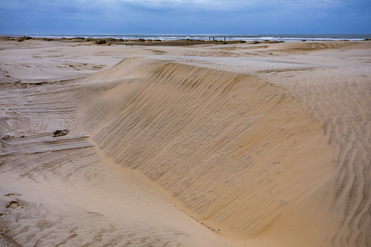
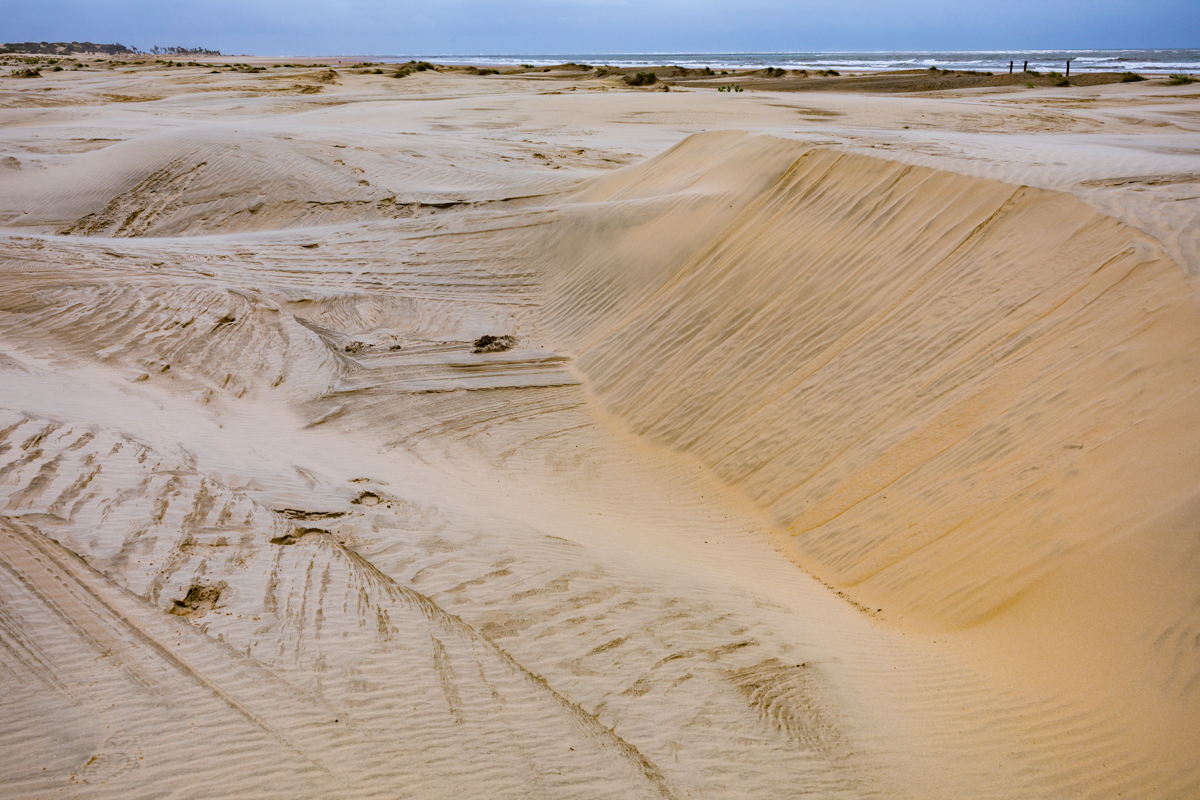
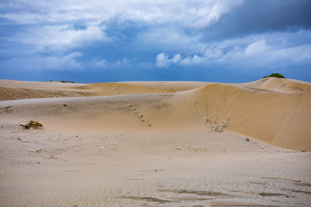
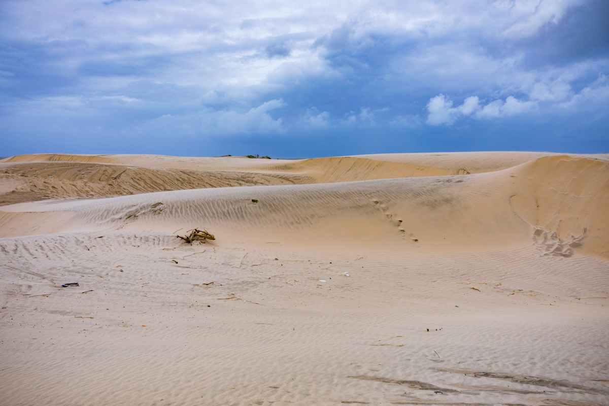
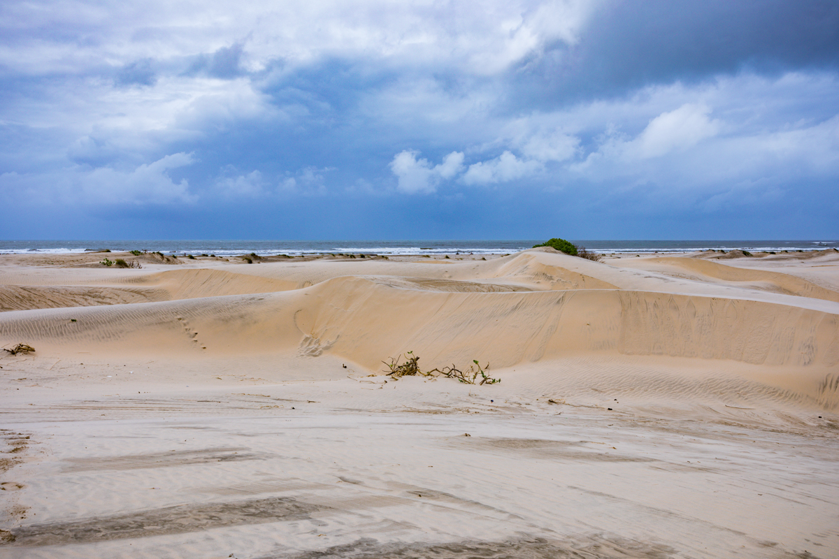
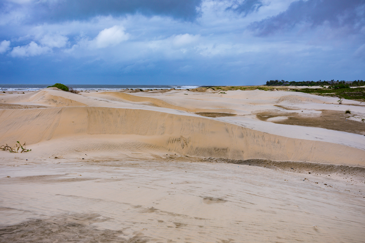
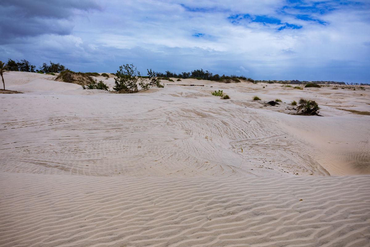
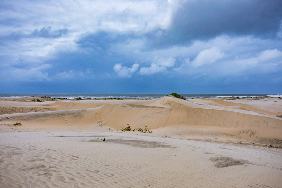
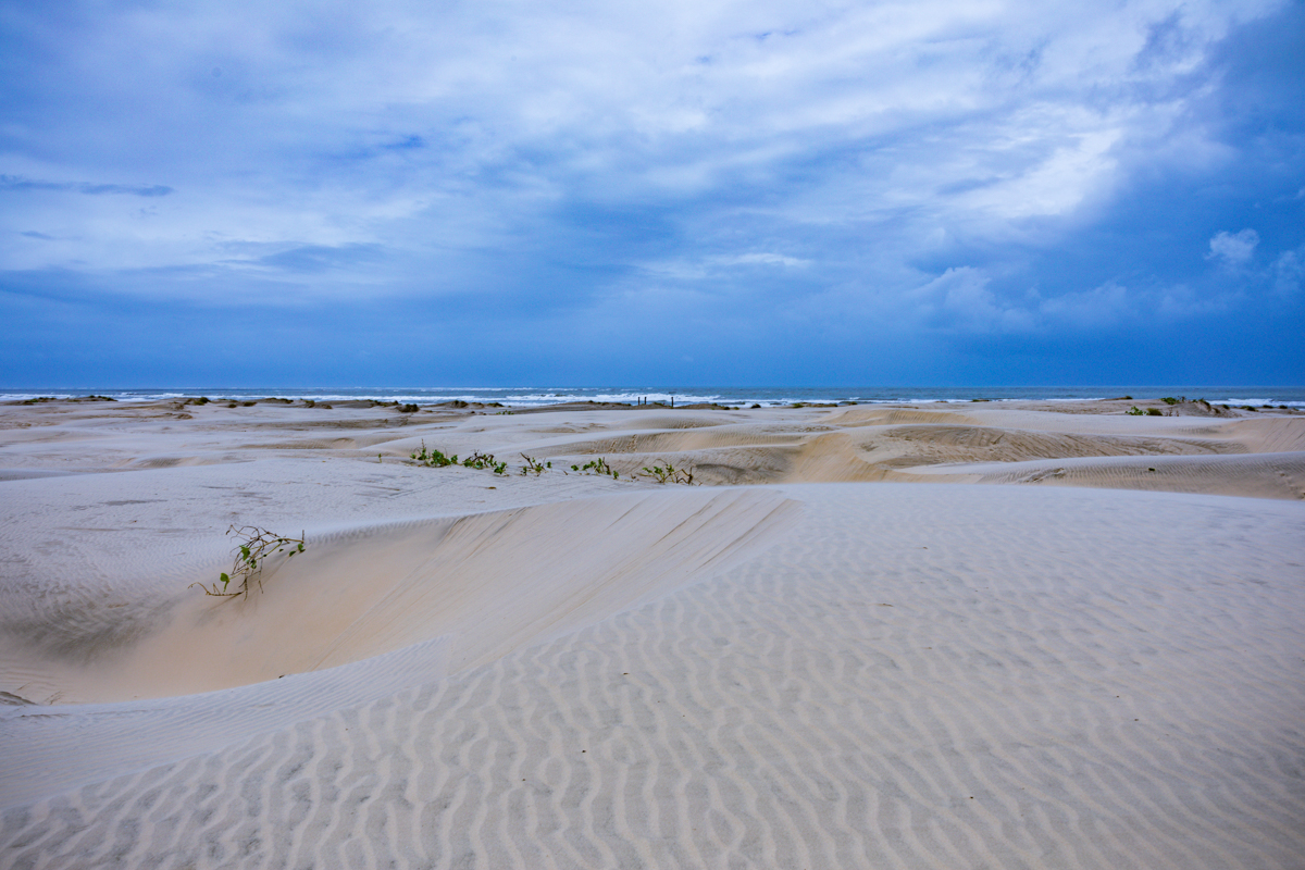
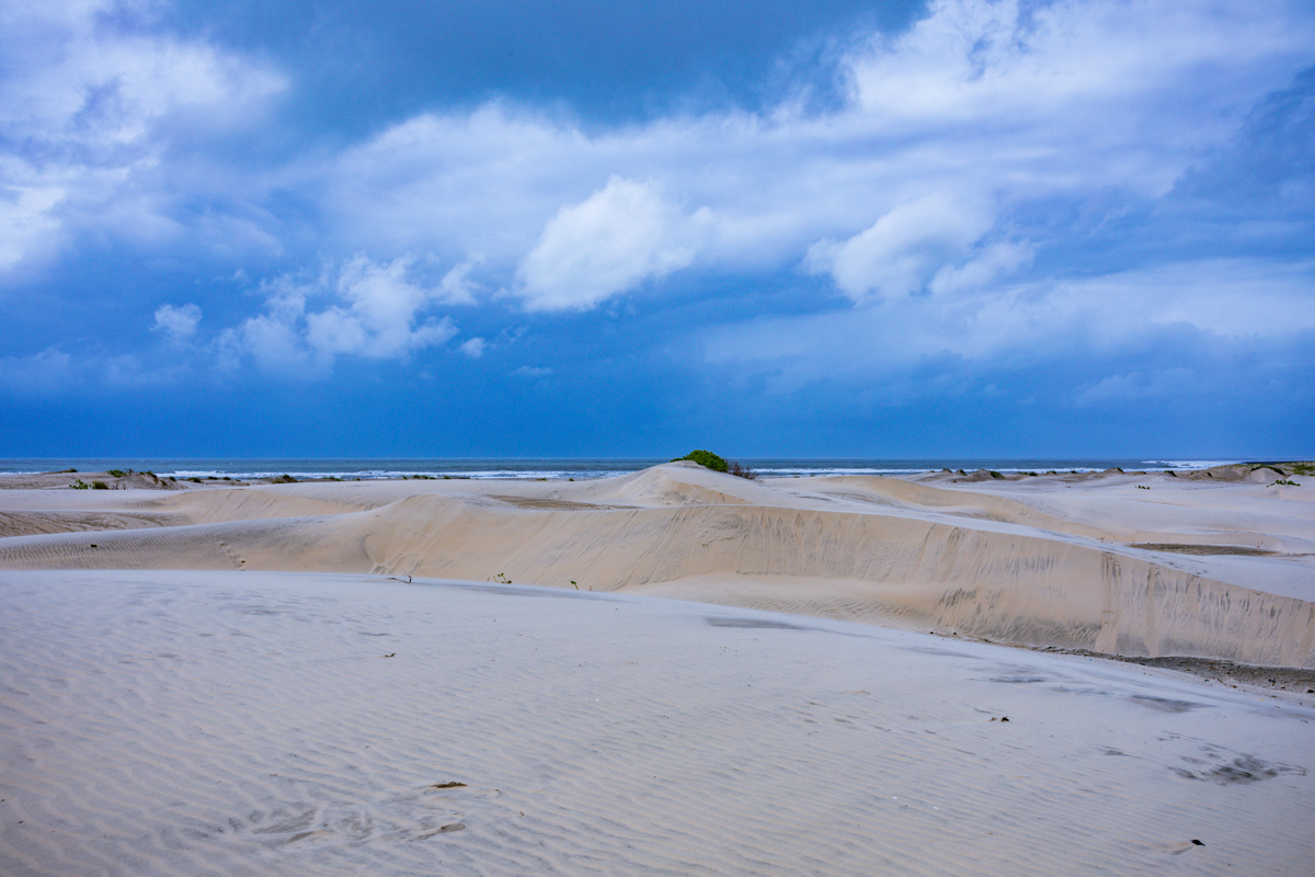
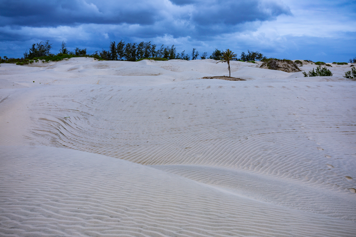
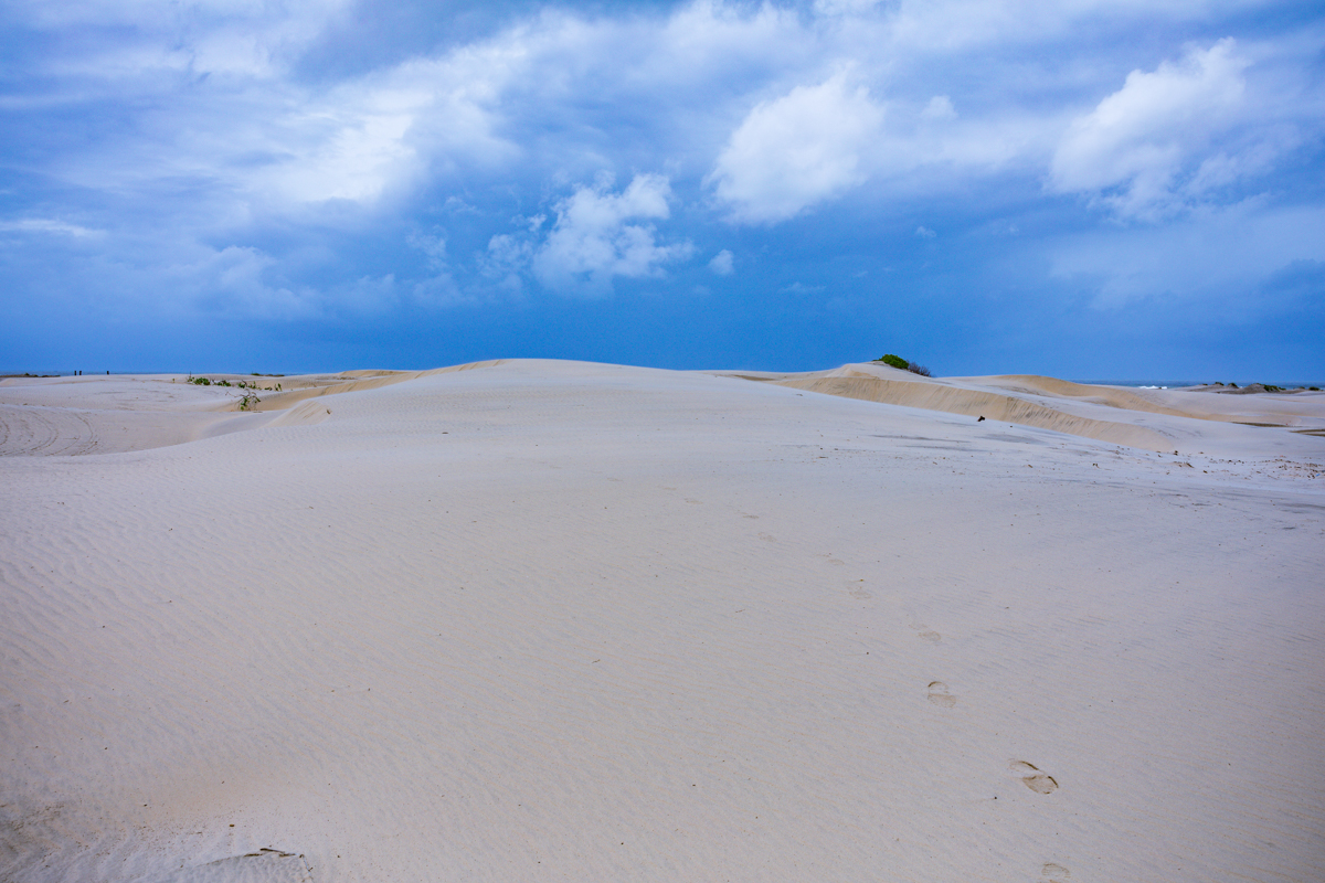
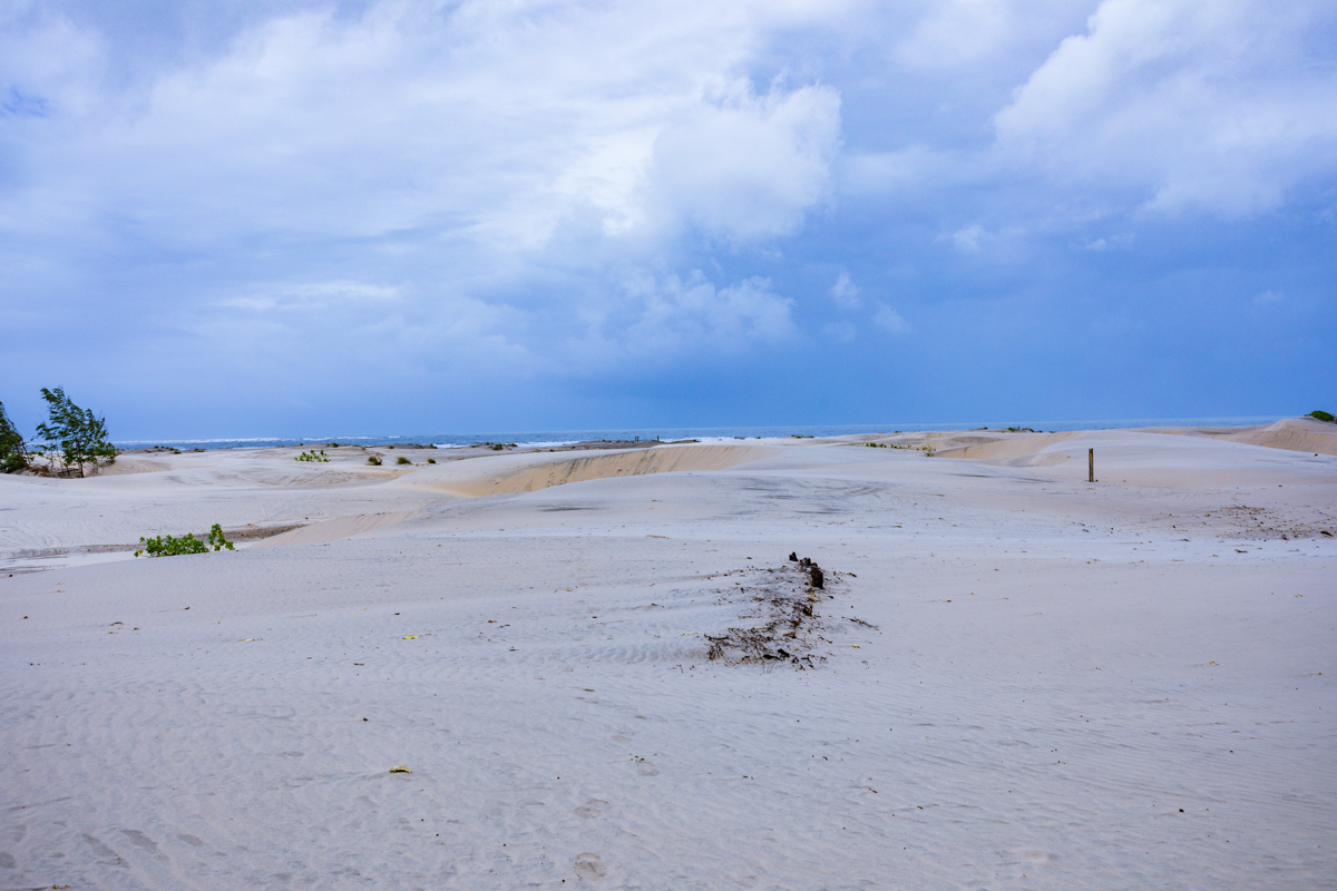
The most recognisable feature of Mambrui is its extensive coastal sand dune landscape.
Unlike many familiar Kenyan coastal destinations, which are primarily associated with palm-lined beaches, coral reefs and tropical marine environments, Mambrui presents an unusual combination of sand formations and ocean scenery.
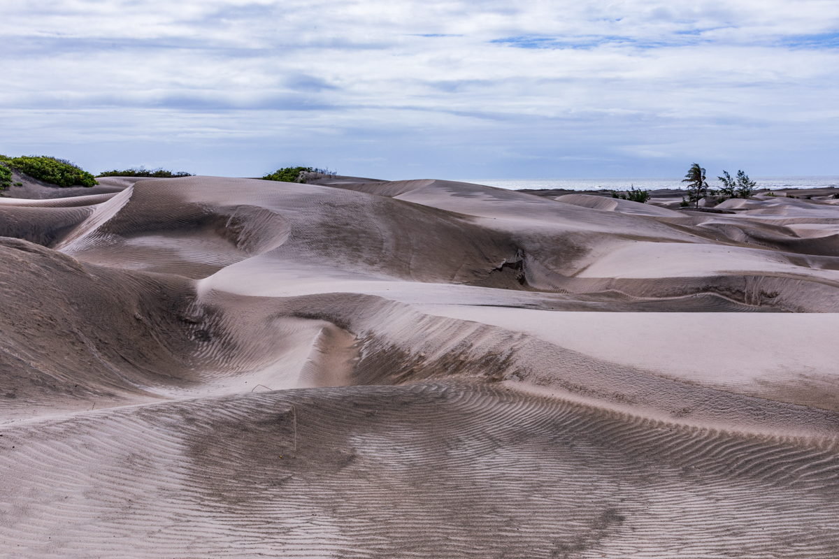
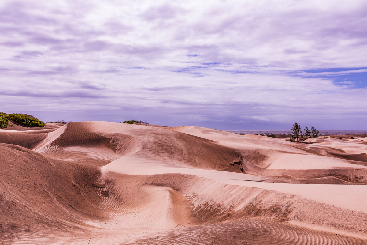
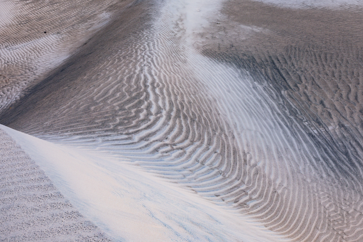
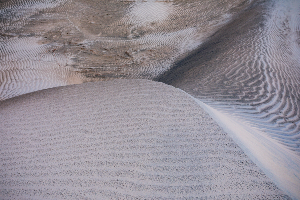
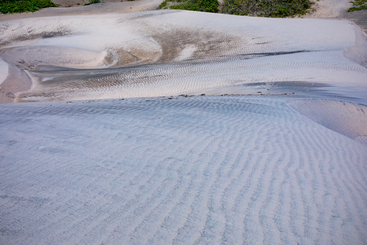
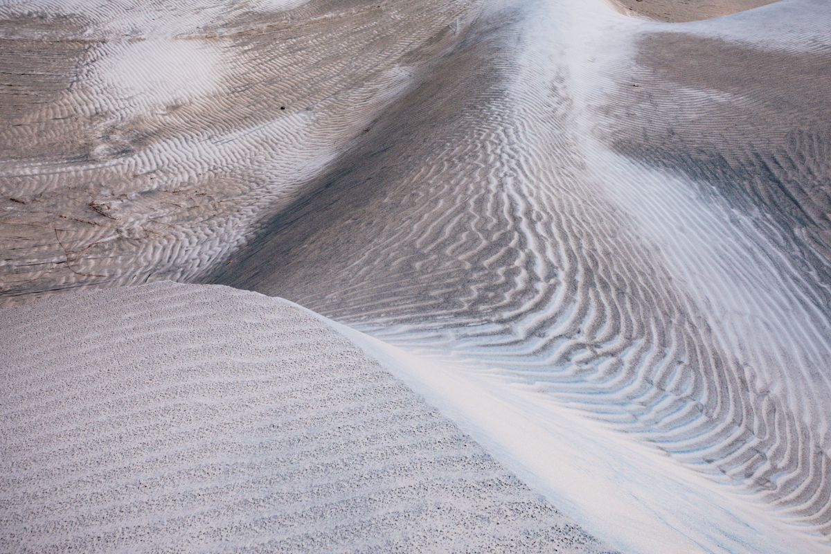
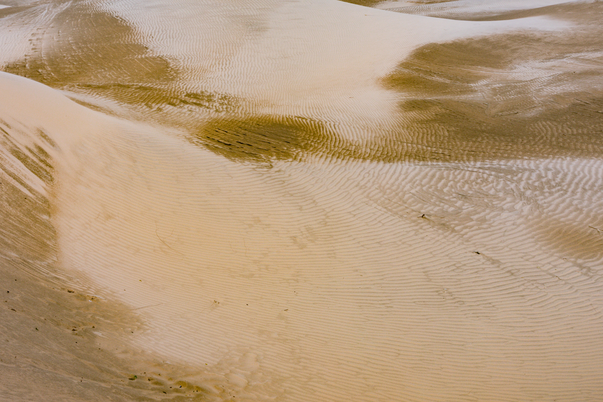
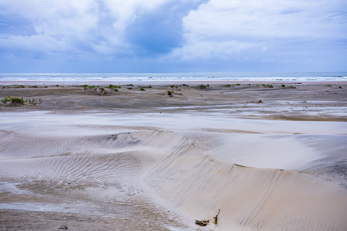
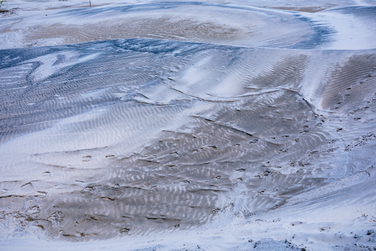
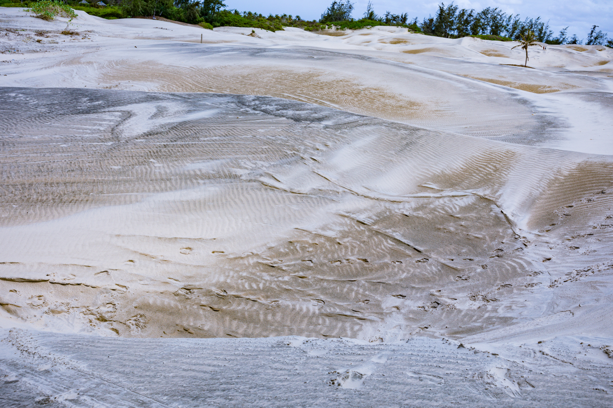
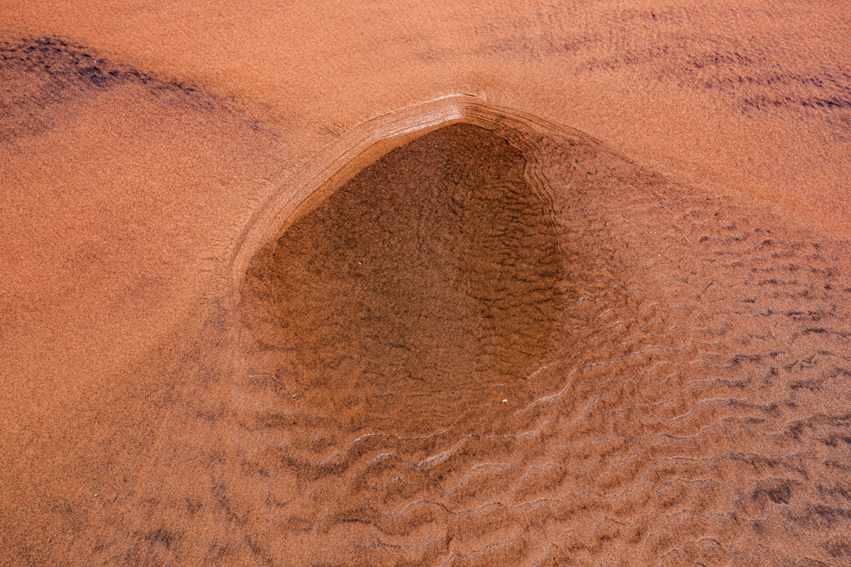
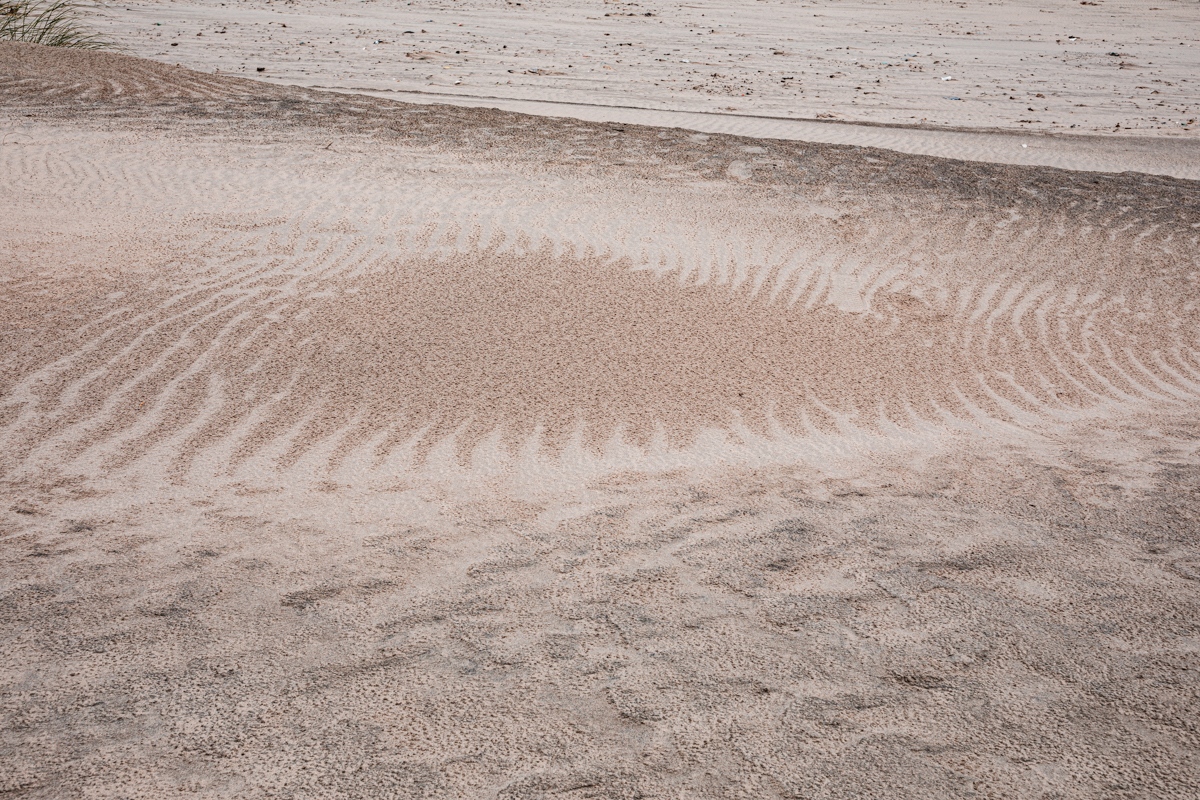
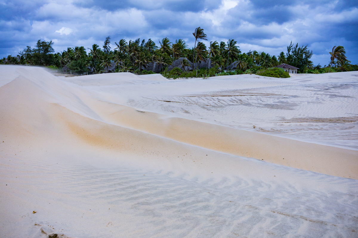
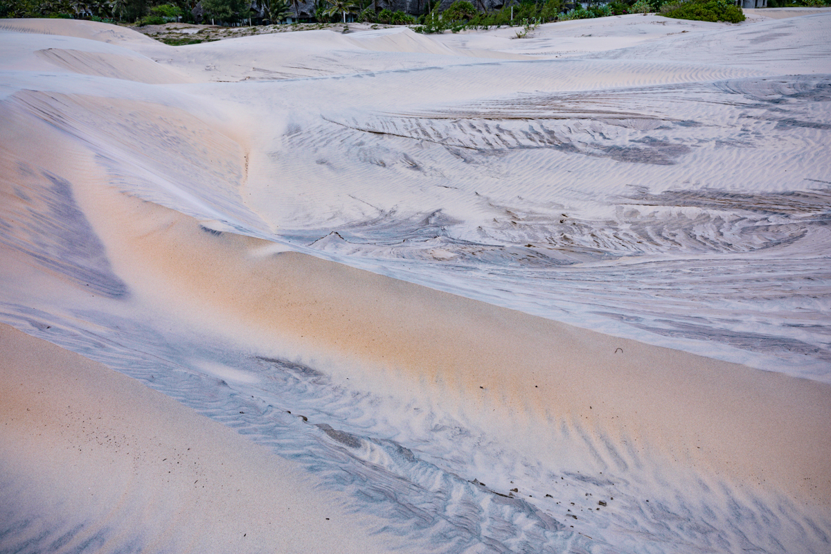
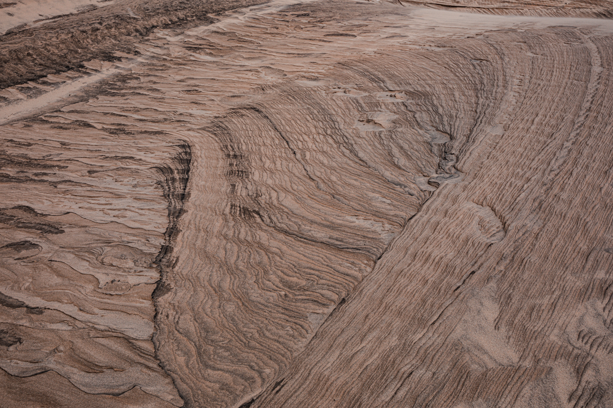
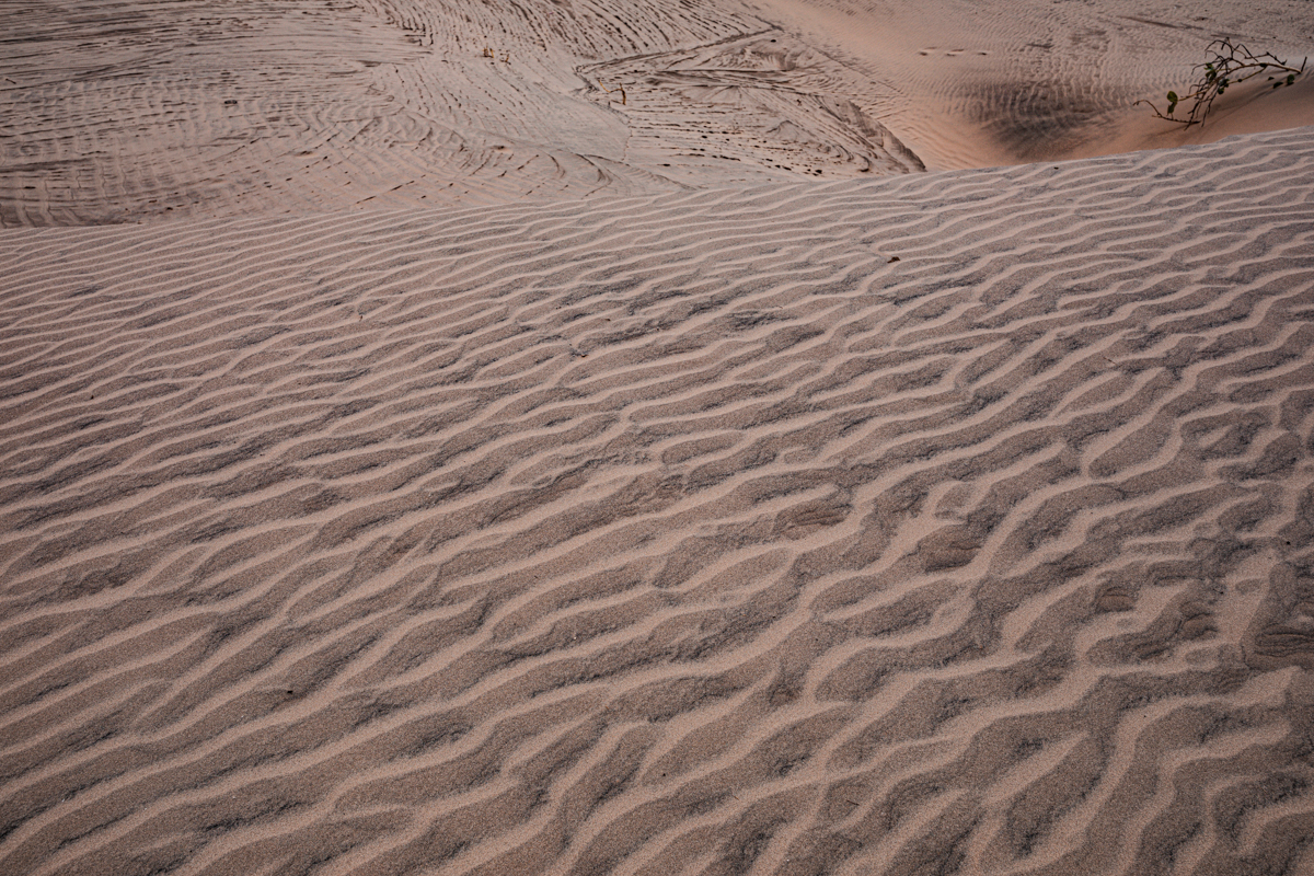
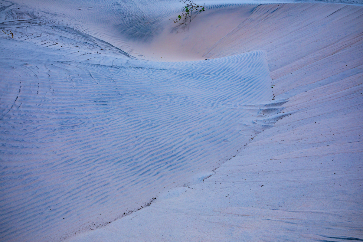
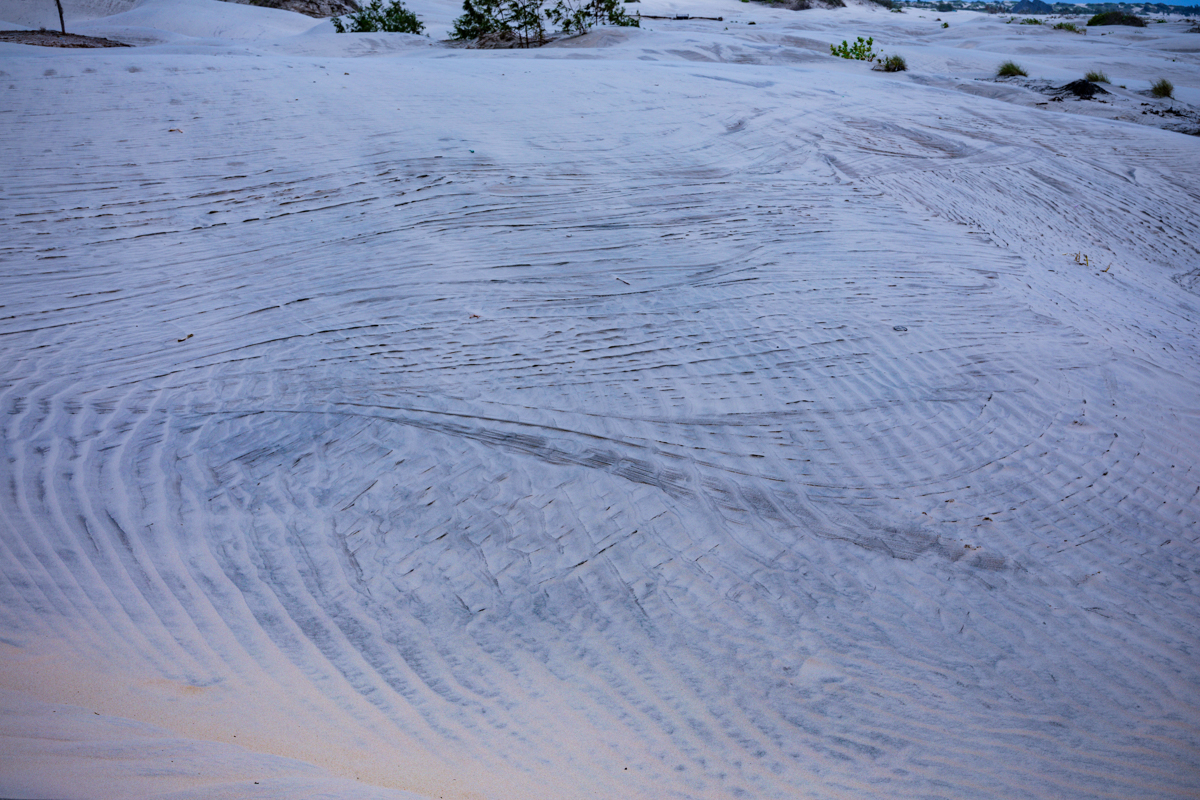
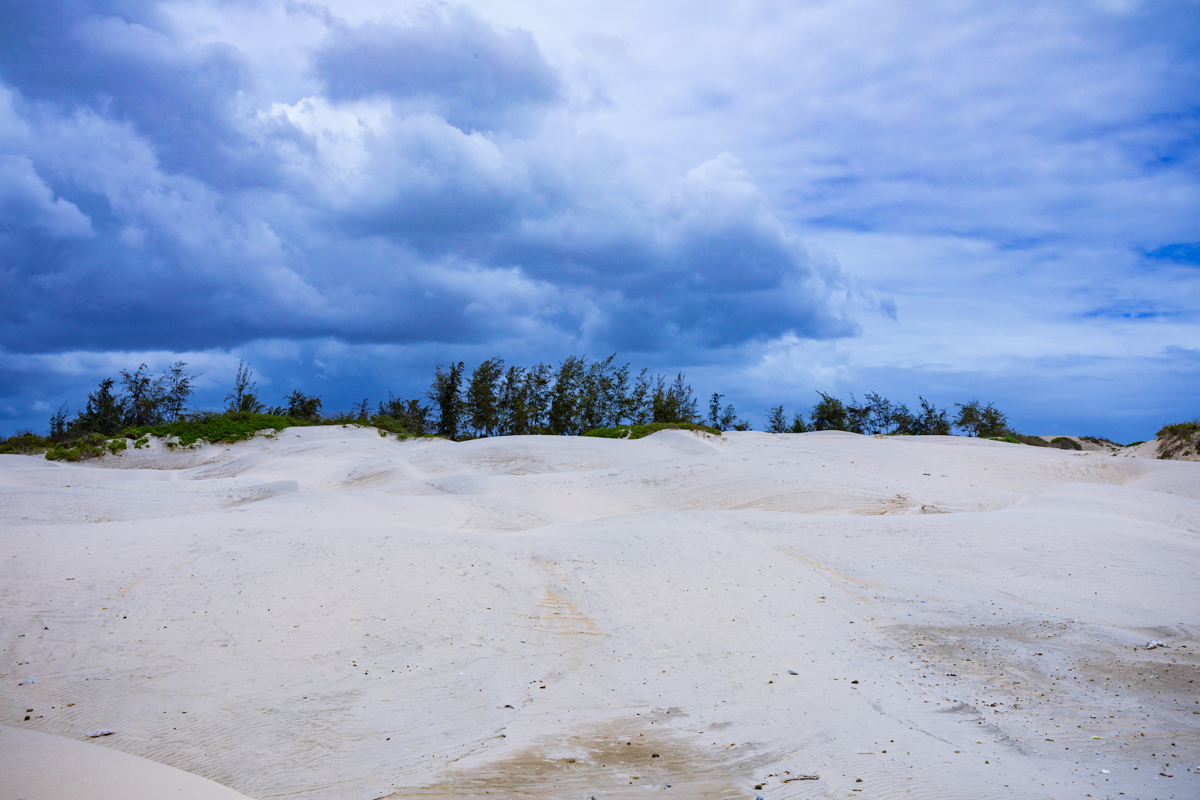
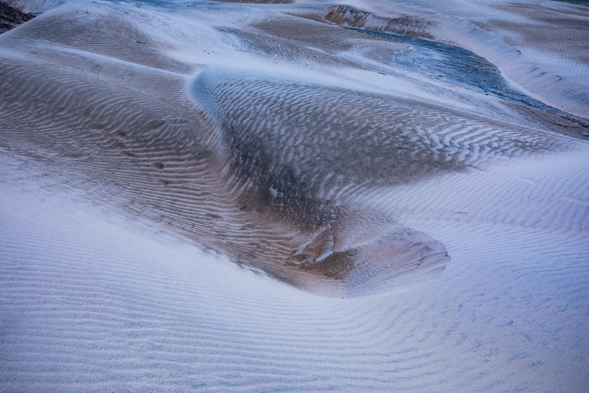
The dunes create undulating surfaces, ridges and sandy slopes that vary in height, shape and appearance.
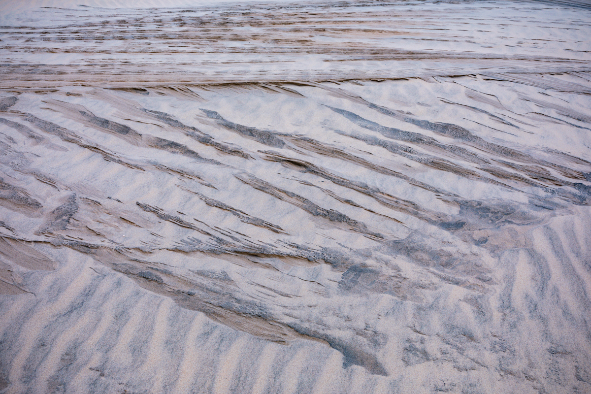
Depending on sunlight, wind and the condition of the sand, sections can appear pale, white, golden or earthy in colour.
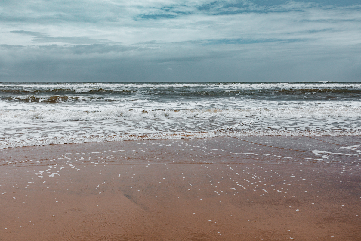
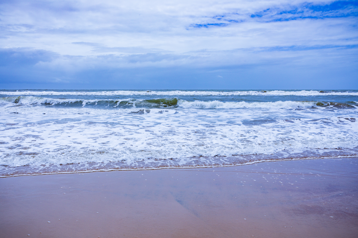
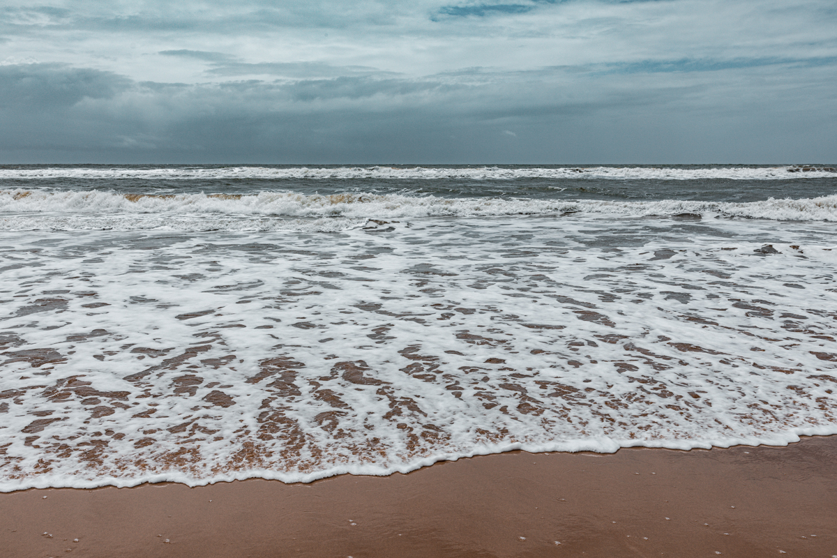
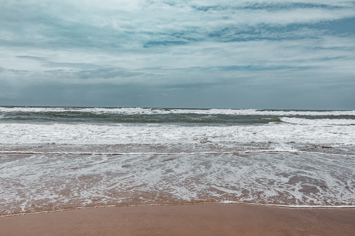
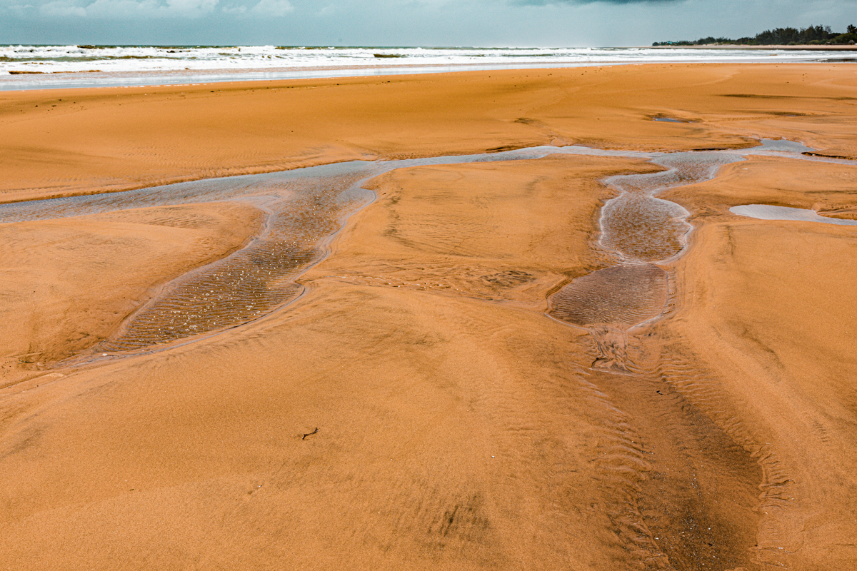
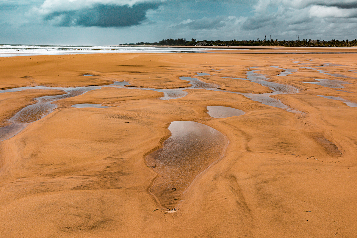
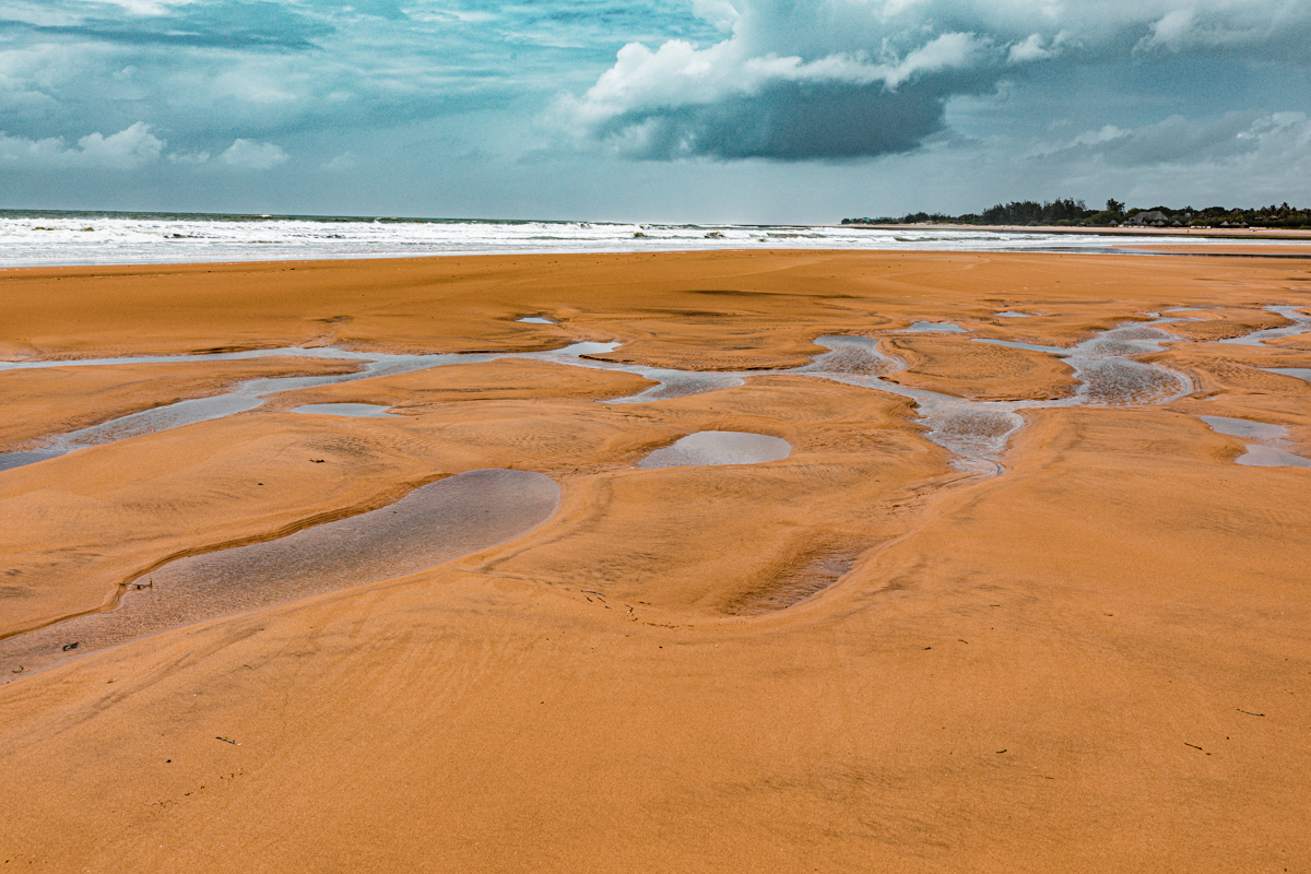
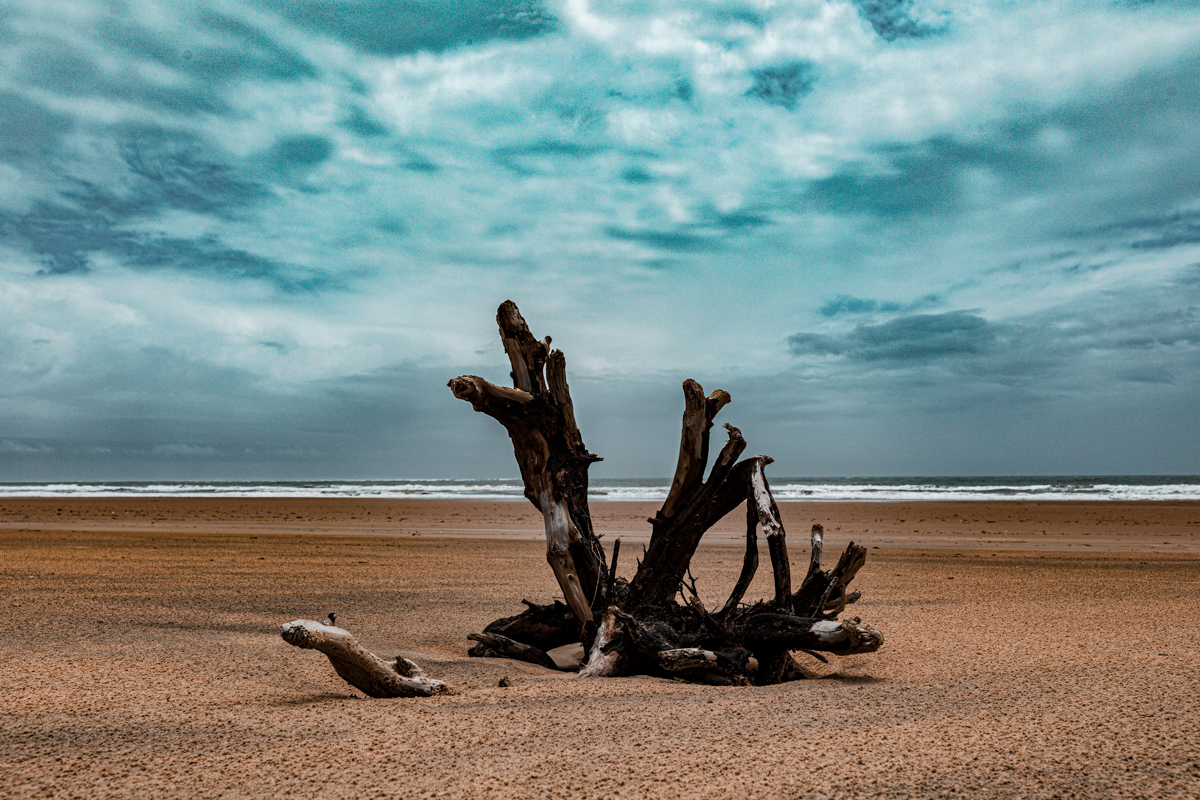
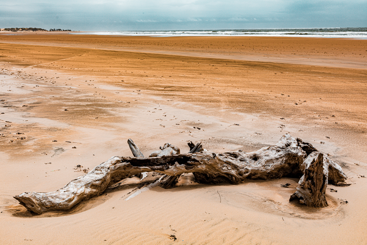
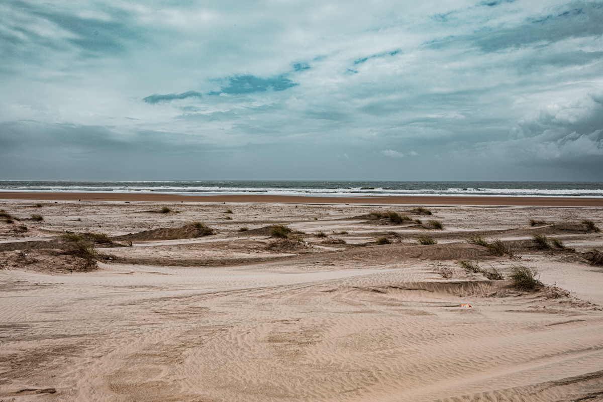
The contrast between the open dunes and the Indian Ocean creates a distinctive landscape that attracts photographers and visitors interested in exploring less conventional coastal environments.
The local name Dubai Ndogo has become an important part of the destination’s identity. It is used by residents and tourism operators to describe the desert-like appearance of the dunes and the recreational experiences offered there.
However, it is important to distinguish the nickname from the geographical classification.
Mambrui is a coastal dune landscape, not a desert.
Its formations are influenced by coastal sediment transport, waves, tides, wind and vegetation. These processes are different from those responsible for the formation of large inland desert dune systems.
This distinction is important because understanding the environment helps visitors appreciate why the dunes move and why their conservation requires careful management.
3. How Were the Mambrui Sand Dunes Formed?
The formation of Mambrui’s sand dunes is connected to the movement of sediment along Kenya’s coast.
One of the most important contributors to the wider coastal sediment system is the Athi-Galana-Sabaki River.
The river system begins in Kenya’s interior and receives water from tributaries before flowing towards the Indian Ocean north of Malindi.
As the river approaches the coast, it transports sediment from its extensive catchment. Some of this material is deposited around the river mouth, while coastal currents and wave action redistribute sediment along the shoreline.
Wind then becomes an important factor.
Loose sand from exposed coastal surfaces can be transported inland by wind. When this material encounters vegetation, natural obstacles or changes in the landscape, it begins to accumulate.
Repeated deposition produces sand mounds that can develop into larger dune formations.
This process is continuous. Dunes can grow, change shape, migrate and become stabilised depending on the interaction between sediment availability, wind conditions, vegetation and coastal processes.
The relationship between the river, ocean and wind
The wider Sabaki coastal environment demonstrates how processes occurring far inland can influence landscapes along the Indian Ocean.
Sediment carried downstream becomes part of the coastal environment. Waves and currents redistribute some of it, while wind transports exposed sand inland.
The resulting dune systems are therefore connected to the wider river basin rather than being isolated geographical features.
The River Sabaki Estuary Management Plan 2023–2032 identifies sediment movement, changing shorelines, dunes, mudflats, freshwater pools and mangroves as important components of the estuarine environment.
Understanding this relationship is essential to appreciating the natural history of Mambrui.
4. The Size and Extent of the Mambrui Sand Dunes
Descriptions of the wider coastal dune landscape between Malindi and Mambrui commonly refer to approximately 10 kilometres of dunes covering around 700 hectares.
These figures provide an indication of the landscape’s scale, rather than the measured dimensions of a formally demarcated visitor attraction.
The dune environment extends across sections of the coastline and includes different formations, vegetation and areas of varying exposure to wind and coastal processes.
The Sabaki River estuary has separate geographical boundaries and management zones. Its approximately 1,100-hectare management area should not be confused with the reported 700-hectare dune landscape.
For visitors, the important point is that Mambrui is not simply one isolated sand hill. It is part of a much larger coastal environment whose appearance changes over time.
5. The Sabaki River: The Natural Connection Behind the Coastal Landscape
The Sabaki River is central to understanding the geography and ecology of the northern Malindi coastline.
The river is the lower coastal section of the Athi-Galana-Sabaki river system, which is approximately 390 kilometres long and drains a catchment of about 70,000 square kilometres.
It is Kenya’s second-longest river system.
Its journey begins in the country’s interior before flowing through different landscapes towards the Indian Ocean.
At its mouth, the river creates an estuary where freshwater and seawater interact.
The estuary contains several habitats, including:
- Sandbanks.
- Mudflats.
- Coastal sand dunes.
- Freshwater pools.
- Marshes.
- Mangrove forests.
- Sandy shorelines.
- Coastal scrub vegetation.
These habitats support wildlife and provide important ecological services.
The river also carries sediment from its extensive catchment. The quantity of sediment reaching the coast is an important environmental issue because changes in sediment supply influence the estuary, mudflats, mangroves and surrounding dune environment.
The Sabaki River Mouth should therefore be considered an important destination in its own right when exploring the northern Kilifi coastline.
6. The Changing Coastline: How Mambrui’s Landscape Has Changed
One of the most interesting findings in the River Sabaki Estuary Management Plan is the documented historical change in the shoreline.
Historical mapping indicates that the river mouth has shifted seawards and that new dune formations have developed on accreted coastal land.
The plan identifies approximately two kilometres of accreted land formed since 1960 within the mapped estuary area.
Accretion occurs when sediment accumulates and extends the land outward. This is different from erosion, where land or shoreline material is removed.
The two processes can occur in different locations within the same coastal environment.
The Sabaki coastline demonstrates that coastal landscapes are not fixed. Their boundaries and physical characteristics change over time in response to sediment supply, waves, currents, river flows and wind.
The development of new sand formations is therefore part of a wider geographical process.
For photographers and documentary researchers, historical shoreline change provides an interesting subject because it demonstrates how the same location can look substantially different across different periods.
7. Wildlife and Biodiversity Around Mambrui and Sabaki River Mouth
The wider Mambrui–Sabaki landscape is more ecologically significant than its sandy appearance might initially suggest.
The nearby Sabaki River Mouth is recognised as an Important Bird Area and a Key Biodiversity Area.
It supports a variety of habitats that provide feeding, nesting, breeding and resting opportunities for wildlife.
Birdlife
The estuary is particularly important for resident and migratory birds.
Its mudflats and shallow water habitats attract shorebirds and wading birds, while its sandy and vegetated areas support other species.
The River Sabaki Estuary Management Plan records 186 bird species. Nature Kenya has separately reported more than 240 species.
The figures reflect different published accounts and recording periods, so they should not be treated as a single fixed current count.
Some particularly notable species associated with the wider estuary include:
Madagascar Pratincole: A distinctive bird associated with the estuarine environment. The Sabaki area is particularly important for its presence and breeding distribution in Kenya.
Malindi Pipit: A range-restricted bird associated with coastal dune grasses and surrounding habitats.
Waders and shorebirds: Mudflats provide important feeding areas for different species, including plovers and sandpipers.
Gulls and terns: These birds use the estuary and nearby coastline for feeding and resting.
For birdwatchers, the Sabaki River Mouth is a particularly rewarding destination to explore with knowledgeable local guides and binoculars.
Other Wildlife
The wider estuarine environment also supports:
- Hippopotamuses.
- Nile crocodiles.
- Fish and crustaceans.
- Other wetland and coastal wildlife.
The turbid coastal waters and estuarine habitats are important nursery grounds for commercially significant fish and crustaceans.
The sandy shores around the estuary also provide important turtle breeding habitat.
Visitors should not assume that wildlife encounters are guaranteed. Hippos and crocodiles are potentially dangerous and should never be approached.
Wildlife observation should be undertaken from safe locations and with experienced local guidance.
8. The Importance of Mangroves Around the Sabaki Estuary
Mangroves are an important part of the wider Sabaki estuarine environment.
These salt-tolerant trees grow in intertidal coastal environments and provide habitat for different marine and terrestrial organisms.
Their roots help trap sediment, stabilise sections of the shoreline and create sheltered habitats for fish, crustaceans and other wildlife.
Mangroves also contribute to coastal protection and carbon storage.
The Sabaki estuary has experienced considerable changes in mangrove coverage.
According to the management plan and contemporary reporting, the mapped mangrove area increased from approximately 14.7 hectares in 2000 to approximately 71.9 hectares in 2022.
This is a significant increase, although it should not be interpreted as evidence that every mangrove habitat is free from environmental pressure.
The estuary continues to face challenges involving sediment accumulation, vegetation disturbance, harvesting and other human activities.
Community mangrove restoration
Community organisations around the Sabaki estuary are involved in conservation activities, including mangrove nurseries, planting and environmental awareness.
The Sabaki River Conservation and Development Organisation (SARICODO) is among the organisations involved in conservation and community-based tourism.
Women’s groups also contribute to mangrove restoration and nursery activities, creating livelihood opportunities alongside conservation work.
These initiatives demonstrate the relationship between environmental protection and the economic wellbeing of the surrounding communities.
Visitors interested in the conservation story can explore guided activities where access and arrangements have been confirmed with local organisations.
9. The Sand Dunes as Natural Water Reservoirs
One of the less widely understood aspects of the coastal dune environment is its relationship with groundwater.
Sand formations can absorb rainfall and allow water to infiltrate through their porous structure.
In some coastal settings, this can contribute to freshwater storage beneath the sand.
This is particularly interesting in a coastal environment where seawater is nearby.
However, groundwater conditions depend on the geology, rainfall, depth of the water table, proximity to the sea and the interaction between freshwater and saline water.
In its November 2026 investigation, Kenya Broadcasting Corporation reported on the use of shallow wells in the Mambrui dune environment and quoted a geologist discussing the possible relationship between groundwater extraction and dune stability.
This is an important subject, but it should be approached carefully.
The fact that sand can filter some impurities does not establish that water obtained from every dune well is safe to drink. Groundwater requires appropriate testing for salinity, microbial contamination and other potential pollutants.
Excessive extraction can also affect groundwater levels and the relationship between freshwater and seawater.
The dune system therefore has a role beyond its visible landscape. Its relationship with water is another reason why uncontrolled sand harvesting and poorly managed groundwater extraction deserve attention.
10. Dubai Ndogo: The Rise of Community Tourism in Mambrui
The name Dubai Ndogo has become closely associated with the tourism development of Mambrui.
What was once known primarily to surrounding communities has increasingly attracted visitors seeking a distinctive coastal experience.
A significant part of this growth has come from local young people who began promoting dune activities through quad biking and social media.
Their videos introduced the landscape to wider audiences and helped attract domestic and international visitors.
The growth of tourism has created opportunities for local guides, equipment operators and other small businesses.
Reporting by The Star in October 2026 described the development of community-based tourism from a small group of young people into a larger local enterprise involving more than 150 young people, according to the organisation interviewed.
Kenya Broadcasting Corporation also reported on the Mambrui-Mjanaheri Beach Tourism Community-Based Organisation, which brings together more than 100 local youths.
These figures relate to different community organisations and reporting accounts and should not be added together as though they describe one verified membership total.
Why community tourism matters
Community tourism can create economic opportunities while giving residents a stronger role in managing the visitor experience.
Instead of relying exclusively on outside tourism companies, local people can participate as guides, operators, service providers and conservation partners.
For visitors, using established local guides can provide more than access to the dunes. It can also offer an opportunity to understand local history, environmental changes and the experiences of residents.
However, the continued growth of tourism depends on responsible management, safety standards, clear operating arrangements and protection of the natural landscape.
The challenge is to develop Mambrui as a tourism destination without damaging the very environment that attracts visitors.
11. Quad Biking at Mambrui Sand Dunes
Quad biking is one of the activities most closely associated with the growing popularity of Mambrui.
Visitors can encounter operators offering guided motorised experiences across sections of the dunes.
The activity provides an opportunity to explore the sandy landscape in a different way, particularly for visitors interested in recreational adventure.
However, quad biking is not environmentally neutral.
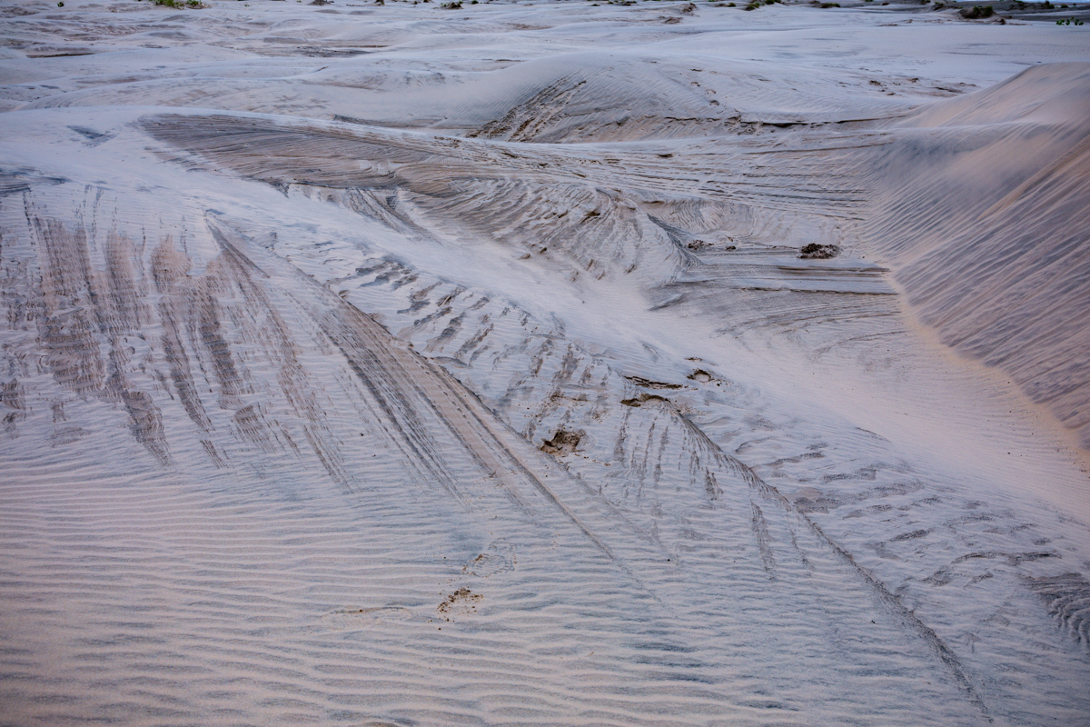
The movement of vehicles across exposed sand can disturb the surface and damage vegetation that helps stabilise dune formations.
Repeated traffic over sensitive areas may make loose sand more vulnerable to wind transport.
This creates a difficult balance for the destination.
Quad biking provides employment and tourism revenue, but poorly managed activity can contribute to the environmental pressures facing the dunes.
Visitors should therefore:
- Use established local operators.
- Ask about safety equipment and instructions.
- Confirm where vehicles are permitted to operate.
- Avoid sensitive vegetation and restoration areas.
- Follow local environmental guidance.
- Avoid riding near wildlife habitats.
- Respect pedestrians and other visitors.
The future of quad biking at Mambrui should be based on designated routes, responsible management and community participation.
A successful tourism destination should not sacrifice long-term environmental health for short-term visitor numbers.
12. The Shifting Sand Dunes: Environmental Challenges Facing Mambrui
The movement of sand is one of the defining features of Mambrui.
It is also one of the area’s most significant environmental and community challenges.
Unlike fixed geological structures, coastal dunes are constantly influenced by wind, sediment supply, vegetation and other environmental processes.
In Mambrui, shifting sand has affected sections of the surrounding settlement and infrastructure.
A Kenya Broadcasting Corporation investigation published in November 2026 documented local accounts of businesses and buildings being engulfed by moving sand.
One particularly striking example involved a hotel that was reportedly threatened by sand movement in the early 2000s and eventually buried by the late 2000s.
The remains of the property, including areas that once contained a parking lot and swimming pool, were described by local guides.
This is an important reminder that the dunes are not simply an attractive tourist feature. They have also created serious challenges for people living and investing in the area.
What causes the dunes to move?
Several interacting factors influence dune movement.
Coastal winds
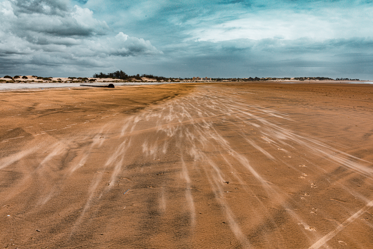
Wind transports exposed sand from the shoreline towards inland areas. The strength and direction of winds influence where sand accumulates.
Ocean waves and currents
Waves and currents redistribute sediment along the coastline, changing the amount and location of loose sand available for wind transport.
River sediment
The Athi-Galana-Sabaki system transports sediment towards the Indian Ocean. Changes in the volume of sediment reaching the coast influence the wider estuarine environment.
Loss of vegetation
Vegetation helps stabilise dune surfaces through its roots and above-ground structure. Removing or damaging plants can expose sand to stronger wind transport.
Sand harvesting
Uncontrolled removal of sand can alter the natural structure of dune systems and affect associated groundwater resources.
Motorised activities
Poorly managed vehicle movement can disturb dune surfaces and vegetation, making exposed sand more susceptible to movement.
These processes should not be reduced to one explanation. Mambrui’s changing landscape reflects the interaction of natural coastal processes and human activity.
The importance of monitoring
It is not scientifically responsible to claim that the dunes are moving at a particular number of metres per year without reliable local measurements.
To establish the actual rate of movement, researchers would need to compare historical aerial or satellite imagery with modern surveys and field measurements.
The documented impact on buildings and businesses demonstrates that sand movement is a real concern, but it does not establish a precise annual migration rate.
This distinction matters when communicating environmental issues accurately.
13. Community Conservation: Protecting the Dunes and Their Surroundings
Local communities have increasingly become involved in conservation initiatives around Mambrui and the Sabaki estuary.
Reported activities include beach clean-ups, vegetation planting, mangrove restoration, environmental education and community tourism.
One approach discussed in contemporary reporting is the use of Casuarina trees as windbreaks in selected coastal locations.
Their flexible branchlets and ability to tolerate coastal wind and salt exposure make them useful in certain shelterbelt settings.
However, planting should be based on suitable site conditions and appropriate ecological guidance. Not every species is suitable for every dune or wetland habitat.
Why vegetation matters
Vegetation can help reduce the movement of loose sand by providing physical barriers and anchoring material through root systems.
The protection of existing natural vegetation is particularly important.
Where plants are removed, the exposed sand may become more vulnerable to wind transport.
The role of local organisations
The Sabaki River Conservation and Development Organisation, known as SARICODO, is involved in conservation and community activities around the estuary.
The organisation’s work includes environmental awareness, birdwatching-related activities, guided experiences and mangrove restoration.
The River Sabaki Estuary Management Plan also identifies community participation as essential to sustainable management.
Its objectives include improved governance, sustainable resource use, local livelihoods, tourism development and pollution management.
The plan recognises that conservation must involve the people who depend on the estuary and surrounding landscape.
For visitors, supporting responsible local tourism can contribute to this wider conservation and livelihood effort.
14. The Best Time to Visit Mambrui Sand Dunes
Mambrui can be visited throughout the year, although weather conditions influence the experience.
The Kenyan coast generally experiences warm temperatures and relatively high humidity.
The main seasonal considerations are:
January to March
This period is generally associated with warmer and relatively drier conditions along much of the coast. It can be suitable for outdoor exploration, although visitors should prepare for strong sunshine and heat.
April to June
These months include the main long-rains period. Rainfall can affect road conditions, outdoor activities and access to exposed areas.
July to October
This period is generally cooler than the hottest months, although coastal winds can be stronger. Wind is particularly relevant when exploring exposed dune environments.
November to December
The short-rains period can bring variable weather, with alternating dry and rainy conditions.
These are broad seasonal patterns, not guarantees of daily weather.
Visitors should check local forecasts before travelling, especially when planning outdoor activities or photography sessions.
Best time of day to visit for photography
Early morning and late afternoon are particularly rewarding.
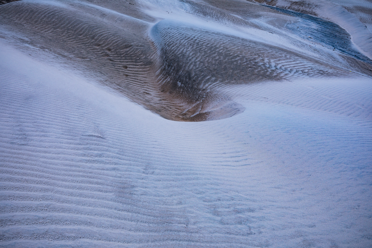
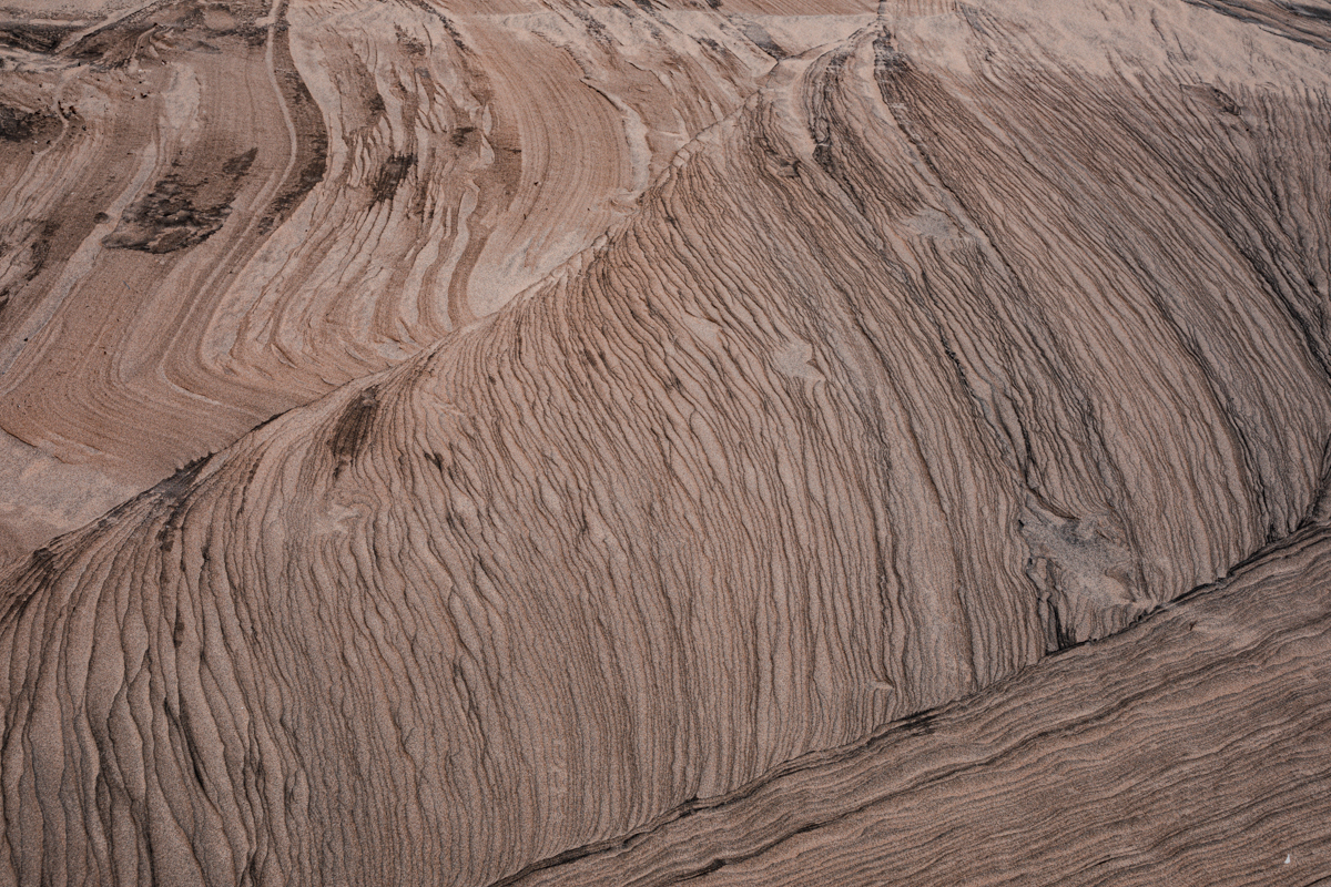
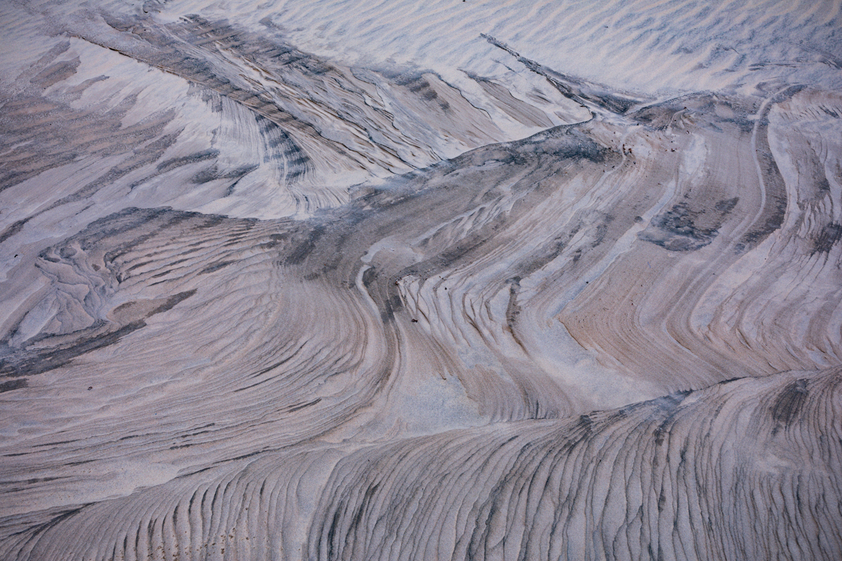
Morning light can reveal the fine textures of the sand, while the lower afternoon sun creates longer shadows that emphasise the contours of the dunes.
Sunset can provide warm colours across the landscape, although visitors should plan their return journey before darkness.
For photographers, the most important consideration is not simply the weather but the direction and quality of light.
15. How to Get to Mambrui Sand Dunes
Mambrui is accessible by road from Malindi and other coastal destinations.
The exact access point should be confirmed before travelling because the dune landscape extends across different sections of the coastline.
From Malindi
Malindi is the most convenient starting point for many visitors.
Travel north from Malindi towards Mambrui along the coastal road.
The journey passes sections of the northern Malindi coastal corridor and surrounding rural settlements.
The precise distance and journey time depend on the chosen dune entrance, traffic and road conditions.
From Malindi International Airport
Visitors arriving by air can travel from Malindi International Airport towards Malindi town and continue north to Mambrui.
Pre-arranged transport is recommended for international visitors unfamiliar with the area.
From Watamu
Visitors staying in Watamu can travel towards Malindi before continuing north to Mambrui.
The destination can be included in a wider day excursion exploring the northern Kilifi coastline.
From Mombasa
Travellers from Mombasa can follow the coastal road through Kilifi and Malindi before continuing to Mambrui.
The journey should be planned with sufficient time for traffic, stops and road conditions.
Transport options
Possible transport arrangements include:
- Private vehicles.
- Hired taxis and drivers.
- Pre-arranged tour transport.
- Organised local excursions.
Visitors should not assume that a standard road vehicle can drive directly across the dunes.
Where motorised dune activities are offered, use designated access arrangements and local operators.
16. Accommodation Near Mambrui Sand Dunes
Mambrui is less extensively developed as an accommodation destination than established coastal centres such as Malindi and Watamu.
For many visitors, staying in Malindi or Watamu and visiting Mambrui during the day is a practical option.
Staying in Malindi
Malindi offers a broader range of accommodation, restaurants and visitor services.
It is also a convenient base for exploring Mambrui, the Sabaki River Mouth and other northern coastal attractions.
Staying in Watamu
Watamu provides additional accommodation choices, including beach properties, hotels and smaller hospitality establishments.
It can be suitable for visitors combining Mambrui with marine and nature-based excursions.
Booking considerations
Visitors should independently verify accommodation availability and operating arrangements.
Before booking, establish:
- The exact location of the property.
- Whether meals are provided.
- Whether transport to Mambrui can be arranged.
- Whether water and electricity are reliably available.
- Whether family facilities are suitable.
- Cancellation and payment conditions.
Avoid relying on outdated listings or assuming that a property appearing online is currently operating.
17. Food, Restaurants and Picnics at Mambrui
Food arrangements should be considered before travelling to the dunes.
There are local businesses and food establishments in the wider Mambrui and Malindi area, but visitors should not assume that every dune access point has restaurants or refreshments.
Travellers coming from Malindi or Watamu may prefer to eat before departure or arrange meals in advance.
A picnic can also be an enjoyable way to experience the landscape.
Consider carrying drinking water, fresh fruit, packed food and reusable containers.
Take all rubbish away when leaving.
Do not leave food waste around wildlife habitats, as this can attract animals and alter their natural behaviour.
The best approach is to prepare adequately rather than depend on facilities that may not be available at the precise location being visited.
18. Is Mambrui Beach Safe for Swimming?
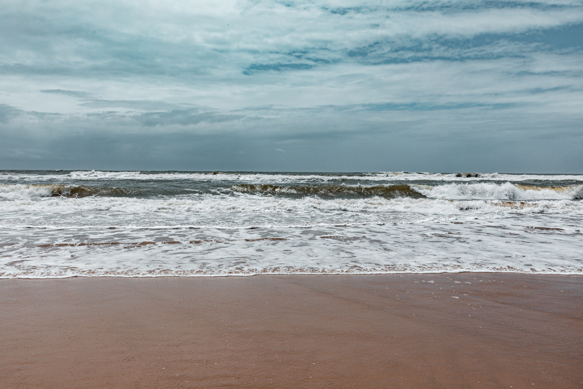
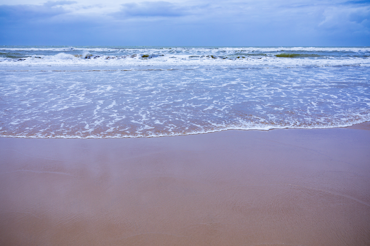
Visitors should exercise caution when considering swimming along the Mambrui coastline.
The presence of the Indian Ocean does not automatically mean that every section of the beach is suitable for swimming.
Conditions can vary according to:
- Tidal movement.
- Wave height.
- Ocean currents.
- Coastal winds.
- Weather.
- The proximity of river mouths and changing sandbanks.
A November 2026 KBC investigation reported local concerns about strong winds and changing sea conditions along the Mambrui coastline.
Visitors should not interpret a calm-looking beach as proof that swimming is safe.
Before entering the water, seek current advice from knowledgeable local residents and establish whether a suitable swimming area has been identified.
Avoid swimming near river mouths, in strong currents or in rough water.
Never swim alone in an unfamiliar location, and supervise children closely.
If conditions are uncertain, do not enter the water.
Mambrui is particularly notable for its dune landscape, so visitors can enjoy the destination without making swimming a central part of their itinerary.
19. What to Carry When Visiting Mambrui
The exposed sandy environment can become hot and physically demanding.
Preparation is important, particularly for visitors planning to walk across the dunes.
Recommended items include:
- Drinking water.
- Sunscreen.
- Sunglasses.
- A wide-brimmed hat.
- Comfortable footwear.
- Lightweight clothing.
- Personal medication.
- Snacks or packed food.
- A fully charged mobile phone.
- Portable power bank.
- Camera equipment.
- Waste bags.
Photographers should also carry lens-cleaning equipment and suitable protection for cameras and lenses.
Fine sand can enter camera equipment, especially when wind conditions are strong.
Avoid changing lenses unnecessarily in exposed areas and protect electronic equipment when moving through loose sand.
20. Mambrui Sand Dunes for Landscape and Travel Photography
Mambrui offers an unusual photographic environment along the Kenyan coast.
Its dunes, coastal vegetation, open sandy spaces and proximity to the Indian Ocean provide opportunities for different photographic approaches.
Unlike conventional beach photography, which often concentrates on the shoreline, Mambrui encourages photographers to explore the relationship between landforms, natural patterns, vegetation, people and the wider coastal environment.
Landscape Photography
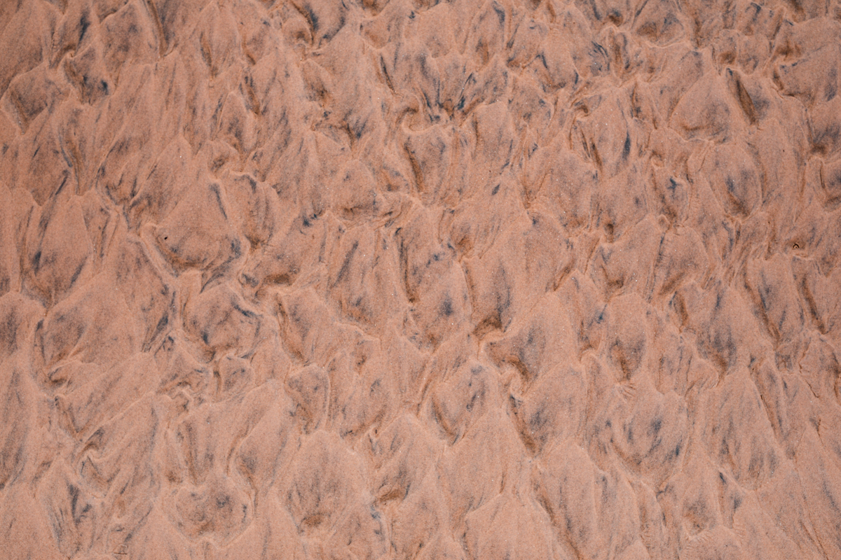
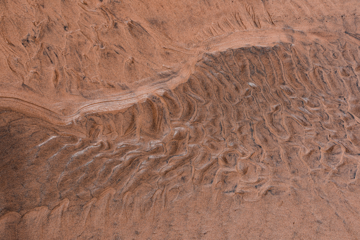
The dune formations offer opportunities for wide landscape compositions and detailed photographs of sand textures.
The natural curves of the dunes can be used to create visual depth, while shadows reveal the changing structure of the landscape.
Early morning and late afternoon are especially useful for capturing these details.
Documentary Photography
Mambrui is particularly interesting for documentary photography because the destination has a story beyond its visual appeal.
The movement of sand, the experiences of residents, the growth of community tourism and environmental conservation initiatives all provide subjects for meaningful visual storytelling.
A documentary approach should aim to represent the destination accurately rather than reducing it to a picturesque collection of sand dunes.
Wildlife and Bird Photography
The nearby Sabaki River Mouth offers opportunities to document birds and estuarine habitats.
Photographers should use appropriate focal lengths, respect wildlife distances and avoid disturbing nesting, feeding or resting birds.
Portrait and Fashion Photography
The open sandy environment provides an unusual natural setting for outdoor portraiture and fashion photography.
The dunes offer a relatively uncluttered background, while the changing light creates different visual possibilities.
Couple and Engagement Photography
For couples seeking an unconventional coastal photography location, Mambrui can provide a distinctive alternative to conventional beach portraits.
The combination of sandy formations and the Indian Ocean creates opportunities for engagement sessions, creative couple portraits and destination photography.
Sessions should be planned around weather, lighting, access and the physical conditions of the location.
Commercial photography may require permissions depending on the location, property ownership and applicable local requirements.
21. Local Culture and the People of Mambrui
Mambrui should not be understood only through its geographical features.
It is also a living coastal settlement with a long-standing local community and cultural heritage.
The wider region has strong Swahili cultural influences, reflected in language, architecture, food, trade history and coastal traditions.
A Kenya Broadcasting Corporation report published in November 2026 quoted a local village elder describing Mambrui as a settlement with a history spanning nearly 800 years. This is a reported local historical account rather than an independently established founding date.
The surrounding communities have developed livelihoods connected to the natural environment.
Fishing, small-scale agriculture, local commerce and tourism all contribute to the area’s economic life.
The growing interest in dune tourism has created new opportunities for local young people and community organisations.
For visitors, interacting respectfully with residents can make a visit more meaningful.
Where possible:
- Use local guides.
- Support locally operated tourism activities.
- Purchase refreshments from local businesses.
- Respect private property.
- Ask permission before photographing people.
- Listen to local accounts of the changing landscape.
- Avoid treating residents merely as photographic subjects.
Understanding the people who live alongside the dunes is an important part of understanding Mambrui itself.
22. Responsible Tourism: How Visitors Can Help Protect Mambrui
The continued appeal of Mambrui depends on maintaining its natural environment while supporting the surrounding communities.
Coastal dunes are dynamic formations. Their appearance and stability can be influenced by human activities.
Visitors can help reduce unnecessary environmental pressure by following responsible tourism practices.
- Avoid removing sand, vegetation or other natural materials.
- Do not litter.
- Avoid driving through sensitive dune vegetation.
- Use responsible local guides and established operators.
- Respect designated routes and access arrangements.
- Do not disturb wildlife.
- Never approach hippos or crocodiles.
- Avoid damaging mangroves or other coastal vegetation.
- Ask permission before photographing individuals.
- Support local community tourism and conservation initiatives.
Responsible tourism should also involve recognising that economic development and environmental protection need to progress together.
The objective should not simply be to attract more visitors. It should be to develop tourism that benefits local residents without undermining the natural resources on which the destination depends.
23. Places to Visit Around Mambrui and the Northern Kilifi Coast
Mambrui can be incorporated into a wider exploration of Kilifi County.
The following destinations offer different geographical, cultural and ecological experiences.
Malindi
Malindi is one of Kenya’s established coastal tourism towns.
It offers accommodation, restaurants, shopping, historical attractions and access to marine activities.
It is also a convenient base for visitors exploring Mambrui and the surrounding northern coastline.
Sabaki River Mouth
The Sabaki River Mouth is an important estuarine destination north of Malindi.
Its sandbanks, mudflats, mangroves, dunes and freshwater pools support considerable biodiversity.
It is particularly interesting for birdwatchers, nature enthusiasts and documentary photographers.
Visitors should arrange suitable local guidance and confirm access before travelling.
Watamu
Watamu is recognised for its beaches and marine environment.
It offers opportunities for snorkelling, diving and exploring the wider coastal ecosystem.
Arabuko-Sokoke Forest
Arabuko-Sokoke Forest is an important coastal forest ecosystem in Kilifi County.
It supports distinctive biodiversity and is particularly interesting for birdwatchers and nature enthusiasts.
Its forest environment provides a different experience from the open sandy landscape of Mambrui.
Gede Ruins
Gede Ruins is an important archaeological site near Watamu.
The remains of the historic Swahili settlement offer insight into coastal architecture, settlement patterns and historical trade networks.
These destinations can be combined into a broader coastal itinerary, but each requires its own access and visitor arrangements.
24. Frequently Asked Questions About Mambrui Sand Dunes, Kenya
Where are Mambrui Sand Dunes located?
Mambrui Sand Dunes are located in Magarini Sub-County, Kilifi County, along the Kenyan Indian Ocean coastline north of Malindi.
What is Mambrui famous for?
Mambrui is recognised for its expansive coastal sand dunes, desert-like scenery, the local nickname Dubai Ndogo and its growing community-based tourism activities.
Why is Mambrui called Dubai Ndogo?
Dubai Ndogo means Little Dubai. The nickname refers to the visual resemblance between Mambrui’s expansive sandy formations and desert landscapes associated with the Gulf region.
Are Mambrui Sand Dunes a real desert?
No. Mambrui is a coastal dune environment, not an inland desert. Its formations are influenced by wind, ocean currents, waves and sediment transported through the coastal system.
How far are Mambrui Sand Dunes from Malindi?
Mambrui is a short road journey north of Malindi. The exact distance and travel time depend on the particular dune access point.
How were Mambrui Sand Dunes formed?
They developed through the accumulation of coastal sediment transported and redistributed by river flows, ocean currents, waves and wind.
Are Mambrui Sand Dunes the only dunes in Kenya?
No. Kenya has other coastal and inland dune formations. Mambrui is distinctive for its extensive coastal dune landscape beside the Indian Ocean.
Can visitors go quad biking at Mambrui?
Quad biking is associated with the growing tourism activities around Mambrui. Visitors should confirm current operators, availability, prices, safety arrangements and permitted routes before travelling.
Can you visit Mambrui Sand Dunes without a guide?
Some areas may be accessible independently, but a local guide is recommended for visitors unfamiliar with the location, particularly when exploring different dune entrances or the wider estuarine environment.
Is Mambrui suitable for families?
Families can explore the landscape, provided children are supervised and visitors prepare for heat, loose sand, roads and potentially hazardous coastal or wildlife environments.
Can you swim at Mambrui Beach?
Swimming conditions vary. Visitors should seek local advice and avoid entering unfamiliar water when currents, winds or waves are strong.
Are there hippos at Mambrui?
Hippos are documented in the wider Sabaki estuarine environment. Sightings are not guaranteed, and visitors should never approach them.
Is Mambrui good for birdwatching?
The nearby Sabaki River Mouth is an important bird habitat supporting resident and migratory species. It is a worthwhile destination for birdwatchers visiting the region.
What is the best time to visit Mambrui Sand Dunes?
Mambrui can be visited throughout the year, although dry periods are generally more convenient for outdoor exploration. Early morning and late afternoon are particularly rewarding for photography.
Where can visitors stay when exploring Mambrui?
Malindi and Watamu provide a wider choice of accommodation. Visitors should verify the availability and facilities of any property closer to Mambrui before booking.
Is Mambrui suitable for photography?
Yes. The dunes provide opportunities for landscape, travel documentary, portrait, fashion, couple and engagement photography.
Why are the dunes moving?
The movement of sand is influenced by wind, waves, currents, sediment supply, vegetation and human activities. These factors interact to shape the coastal landscape.
What is the Sabaki River’s connection to Mambrui?
The Sabaki River transports sediment from Kenya’s interior to the Indian Ocean. Its estuary and surrounding coastal processes are connected to the wider dune environment north of Malindi.
25. Final Thoughts: Mambrui and the Changing Landscape of Kenya’s Coastline
Kenya’s coastline is often associated with tropical beaches, coral reefs, marine parks and established holiday destinations.
Mambrui introduces visitors to another dimension of the Kenyan coastal landscape.
Here, the movement of sand, the influence of the Athi-Galana-Sabaki River, the presence of coastal vegetation and the proximity of the Indian Ocean combine to create an environment that is both visually distinctive and ecologically important.
Yet the story of Mambrui extends beyond the dunes.
It is also about the communities living alongside the shifting sand, the economic opportunities created through tourism, the environmental pressures affecting the coastline and the conservation initiatives seeking to protect the wider estuary.
The growing interest in Dubai Ndogo demonstrates how a landscape once regarded by some residents as a threat can also become a source of livelihood and local pride.
However, the future of this destination depends on responsible tourism, environmental management and meaningful community participation.
For travellers, Mambrui offers an opportunity to experience a less conventional side of Kenya’s coastline. For photographers, it provides a landscape whose story goes far beyond its visual appeal.
At Antony Trivet Photography, travel documentary photography is about more than recording beautiful places. It is about documenting landscapes, people, natural environments and the changes that shape the places we visit.
Mambrui deserves to be explored not simply as a coastal attraction, but as part of Kenya’s wider geographical, ecological and cultural story.
Explore Kenya. Discover its landscapes. Understand its stories.
Antony Trivet Photography
Kenyan Travel Documentary Photography
https://antonytrivet.co.ke/