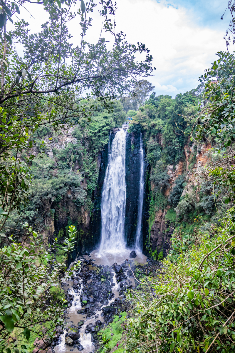
Thomson’s Falls, Nyahururu, Kenya: History, Geography, Facts & Visitor Guide
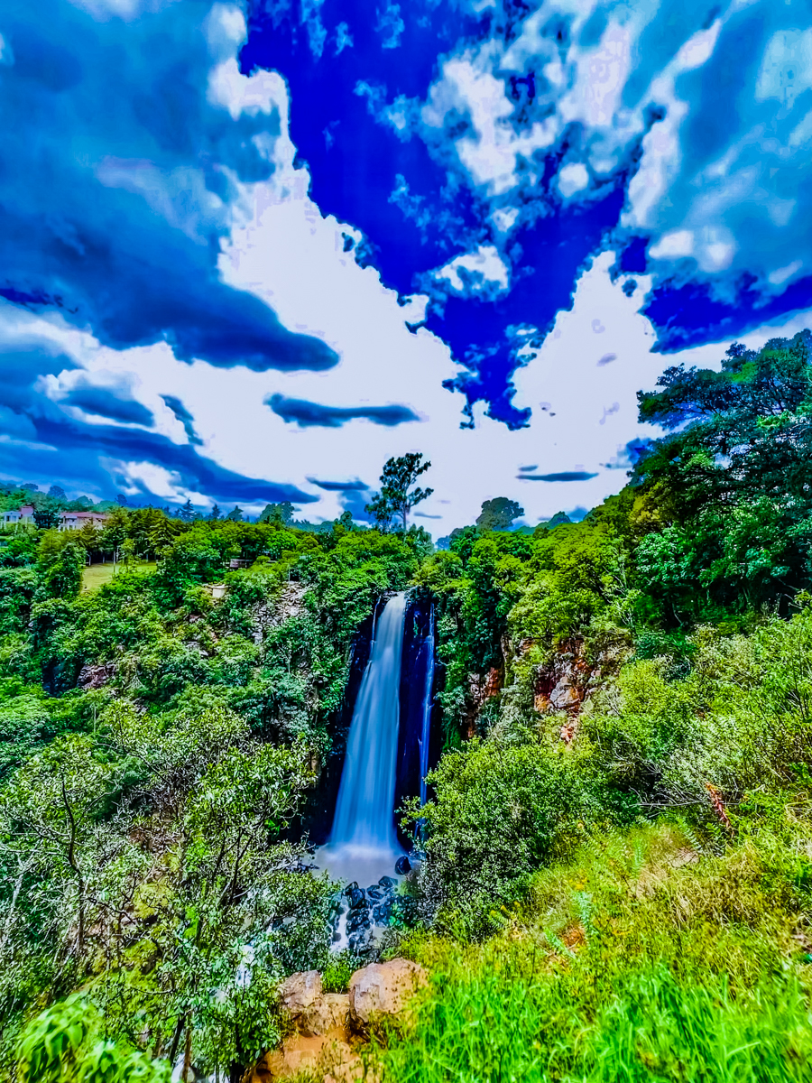
Thomson’s Falls, Nyahururu, Kenya, is one of the country’s recognisable natural landmarks. Located in Laikipia County, the waterfall drops approximately 74–75 metres into a rocky gorge along the Ewaso Narok river system, creating a distinctive landscape in Kenya’s central highlands.
Situated close to Nyahururu town, Thomson’s Falls attracts visitors interested in Kenya’s waterfalls, natural landscapes, geographical features and historical destinations. Its proximity to Lake Ol Bolossat and the Aberdare highlands also gives it an important connection to the wider water systems of central Kenya.
However, Thomson’s Falls is more than a scenic attraction. Its geographical position, historical association with Scottish explorer Joseph Thomson, surrounding vegetation and relationship with Laikipia County make it an interesting destination to understand beyond its photographic appeal.
This comprehensive guide explores the established facts about Thomson’s Falls, Nyahururu and Laikipia County, separates documented history from popular assumptions, and provides useful information for travellers, photographers and anyone researching this part of Kenya.
Thomson’s Falls at a Glance
| Destination detail | Information |
|---|---|
| Destination | Thomson’s Falls |
| Town | Nyahururu |
| County | Laikipia County |
| Country | Kenya |
| Waterfall height | Approximately 74–75 metres |
| River system | Ewaso Narok |
| Historical association | Joseph Thomson, 1883 |
| Nearby water feature | Lake Ol Bolossat |
| Nearby mountain range | Aberdare Range |
| General landscape | Highland river gorge and surrounding vegetation |
| Access | By road from Nyahururu town |
1. Where Is Thomson’s Falls Located in Kenya?
Thomson’s Falls is located in Nyahururu, Laikipia County, in the central highlands of Kenya.
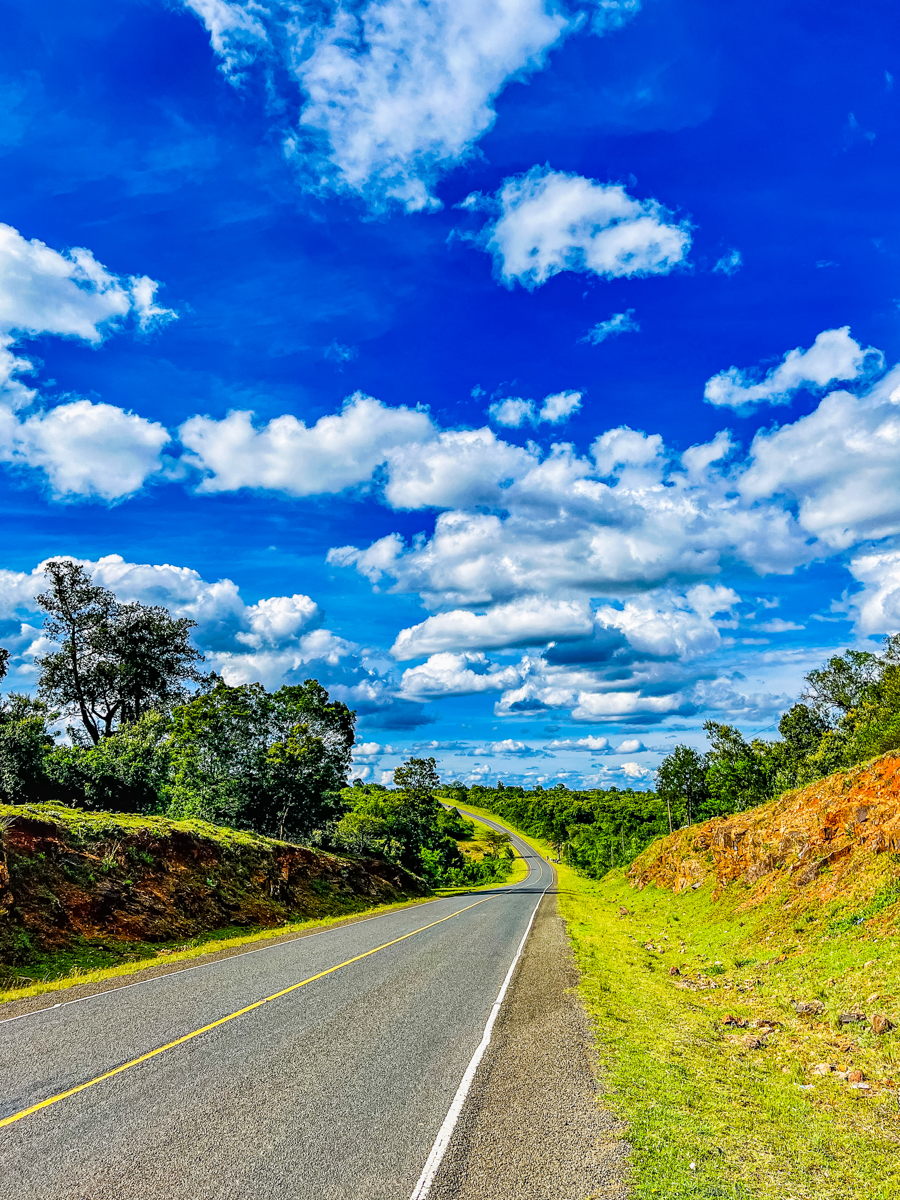
The waterfall lies outside the central commercial area of Nyahururu and is accessible by road from the town. Its position makes it a convenient destination for people travelling through the central highlands, Laikipia and neighbouring counties.
Nyahururu is an established urban centre serving surrounding agricultural, commercial and rural communities. The town is also an important access point for travellers exploring destinations towards Nyandarua, Nakuru, Nyeri, Nanyuki and Laikipia.
One important geographical distinction is that Thomson’s Falls is in Laikipia County, while Lake Ol Bolossat, which contributes water to its river system, is in neighbouring Nyandarua County.
The two destinations therefore belong to different counties despite their close geographical and hydrological relationship.
2. How High Is Thomson’s Falls?
Thomson’s Falls is commonly described as approximately 74 metres high, equivalent to about 243 feet.
Kenya’s 2023 legal notice concerning Lake Ol Bolossat describes the attraction as a scenic waterfall of approximately 75 metres.
The difference between 74 and 75 metres reflects variations in published measurements and rounding. For general geographical reference, it is reasonable to describe Thomson’s Falls as approximately 74–75 metres high.
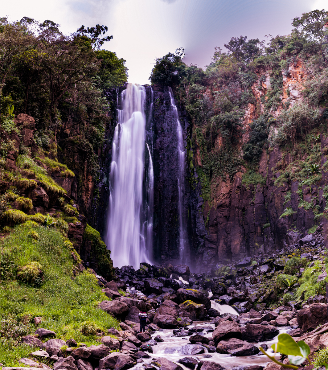
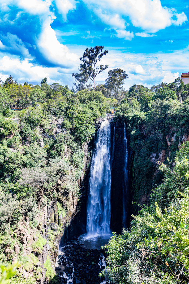
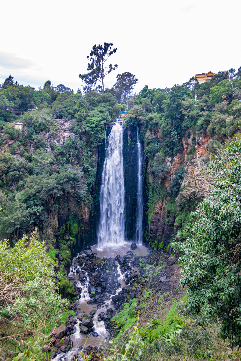
The water descends over a steep rock face into a gorge, producing a dramatic vertical landscape.
The waterfall’s appearance is influenced by several factors, including rainfall, river discharge, atmospheric conditions and the surrounding vegetation.
Its visual character can therefore change throughout the year.
The height of the waterfall should not be confused with the elevation of Nyahururu town. These are two separate geographical measurements.
3. Which River Forms Thomson’s Falls?
The Ewaso Narok River is the watercourse associated with Thomson’s Falls.
This is an important distinction because the Ewaso Narok and Ewaso Ng’iro North are sometimes incorrectly treated as interchangeable names.
According to the Water Resources Authority, Lake Ol Bolossat is the source of the Ewaso Narok River, which supplies water to Nyahururu.
The Ewaso Narok contributes to the wider Ewaso Ng’iro North river system downstream.
The Ewaso Ng’iro North is one of the major river systems serving northern Kenya. Its basin extends across several counties and supports communities, livestock, agriculture, wetlands and wildlife habitats.
This geographical connection means that the water flowing through Thomson’s Falls is part of a much larger river system extending beyond the waterfall and Nyahururu.
Understanding this relationship is important when discussing the waterfall’s environmental and geographical significance.
4. Lake Ol Bolossat: The Connection Behind the Waterfall
Lake Ol Bolossat is an important freshwater lake and wetland located in Nyandarua County, south of Nyahururu.
The lake is associated with the Aberdare highlands and receives water from rainfall, springs and other catchment flows.
Its importance extends beyond its immediate surroundings because it is the principal source of the Ewaso Narok River.
This river supplies water to Nyahururu and contributes to the wider Ewaso Ng’iro North river system.
Lake Ol Bolossat is therefore geographically and environmentally connected to Thomson’s Falls, even though the lake and waterfall are located in different counties.
The lake also supports wetland habitats and biodiversity. Its ecological importance makes it a significant natural feature in central Kenya.
Visitors interested in the wider landscape around Thomson’s Falls can consider Lake Ol Bolossat as a separate destination, subject to available access arrangements.
5. Who Was Joseph Thomson? The History Behind the Name
Thomson’s Falls takes its name from Joseph Thomson, a Scottish geologist, naturalist and explorer associated with nineteenth-century exploration in East Africa.
During his 1883 expedition, Thomson reached and documented the waterfall and named it after his father.
His expedition formed part of the wider European exploration of East Africa during the late nineteenth century.
Thomson subsequently documented his travels in his book Through Masai Land, published in 1887.
His account is an important historical reference for understanding how the waterfall entered European geographical literature.
However, historical accuracy requires an important distinction.
Joseph Thomson’s documented arrival does not establish that he was the first human being to know of the waterfall.
Local communities had their own geographical knowledge, histories and relationships with the surrounding landscape before European exploration accounts were written.
It is therefore more accurate to describe Joseph Thomson as the European explorer historically associated with documenting and naming the waterfall, rather than claiming that he discovered a place previously unknown to everyone.
The distinction matters when presenting Kenya’s geographical history responsibly.
6. Nyahururu Town: More Than the Home of Thomson’s Falls
Nyahururu is one of the important urban centres in Laikipia County.
Although many visitors associate the town primarily with Thomson’s Falls, Nyahururu has its own commercial, administrative and historical significance.
The town serves surrounding agricultural communities and acts as a transport and trading centre connecting different parts of central Kenya.
Its economy is influenced by agriculture, livestock activities, retail trade, transport and tourism.
Nyahururu is also known for its relatively high elevation, contributing to cooler temperatures compared with many lower-lying parts of Kenya.
The town’s position makes it an important transition point between the greener central highlands and the more extensive rangelands of Laikipia.
Is Nyahururu the highest town in Kenya?
Nyahururu is frequently described as one of Kenya’s highest towns.
However, claims that it is definitively the highest town require a clear definition of town boundaries and consistent comparative elevation measurements.
Such rankings should not be repeated as absolute facts without supporting geographical evidence.
Its highland location and elevation are sufficient to explain its distinctive climate and geographical character without relying on unsupported superlatives.
7. Laikipia County: Geography, Landscape and Location
Thomson’s Falls is one of the recognised natural attractions within Laikipia County.
Laikipia covers approximately 9,532 square kilometres and is situated in central Kenya.
Its county headquarters are in Rumuruti.
The county borders several neighbouring counties, including Nyandarua, Nyeri, Meru, Isiolo, Samburu, Baringo and Nakuru.
Laikipia is geographically diverse, with landscapes that include highland agricultural areas, plateaus, grasslands, ranches, river valleys and semi-arid environments.
Its geographical character is influenced by the Aberdare Range, Mount Kenya and the wider northern Kenyan landscape.
The county is not defined by a single ecosystem.
Different areas experience different rainfall patterns, vegetation types and land-use practices.
Agriculture and livestock production are important economic activities. Tourism and wildlife conservation also contribute to the county’s identity and economy.
Thomson’s Falls represents the highland and river landscape of Laikipia, while other parts of the county offer very different geographical experiences.
8. Is Laikipia a Desert? Understanding the County’s Different Landscapes
One misconception about Laikipia is that the entire county is either a desert or an exclusively dry safari destination.
This is geographically inaccurate.
Laikipia contains a mixture of ecological environments, ranging from relatively wet highland areas to grasslands and semi-arid rangelands.
The northern parts of the county are generally drier than the highland areas around Nyahururu.
This variation is influenced by altitude, rainfall distribution, topography and geographical position.
The presence of dry landscapes in some parts of Laikipia does not make the entire county a desert.
Similarly, the green surroundings of Thomson’s Falls should not be used to represent the environmental conditions of the whole county.
This diversity is one of the most important things to understand when exploring Laikipia.
9. The Natural Landscape Around Thomson’s Falls
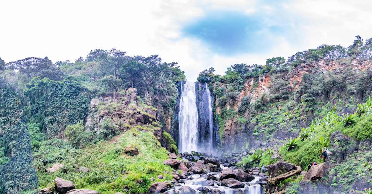
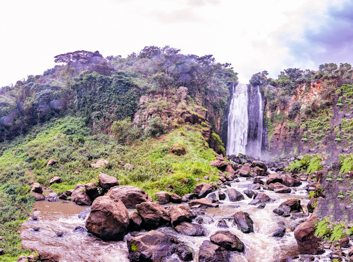
The landscape around Thomson’s Falls is shaped by its river gorge, exposed rock surfaces, surrounding vegetation and the highland environment.
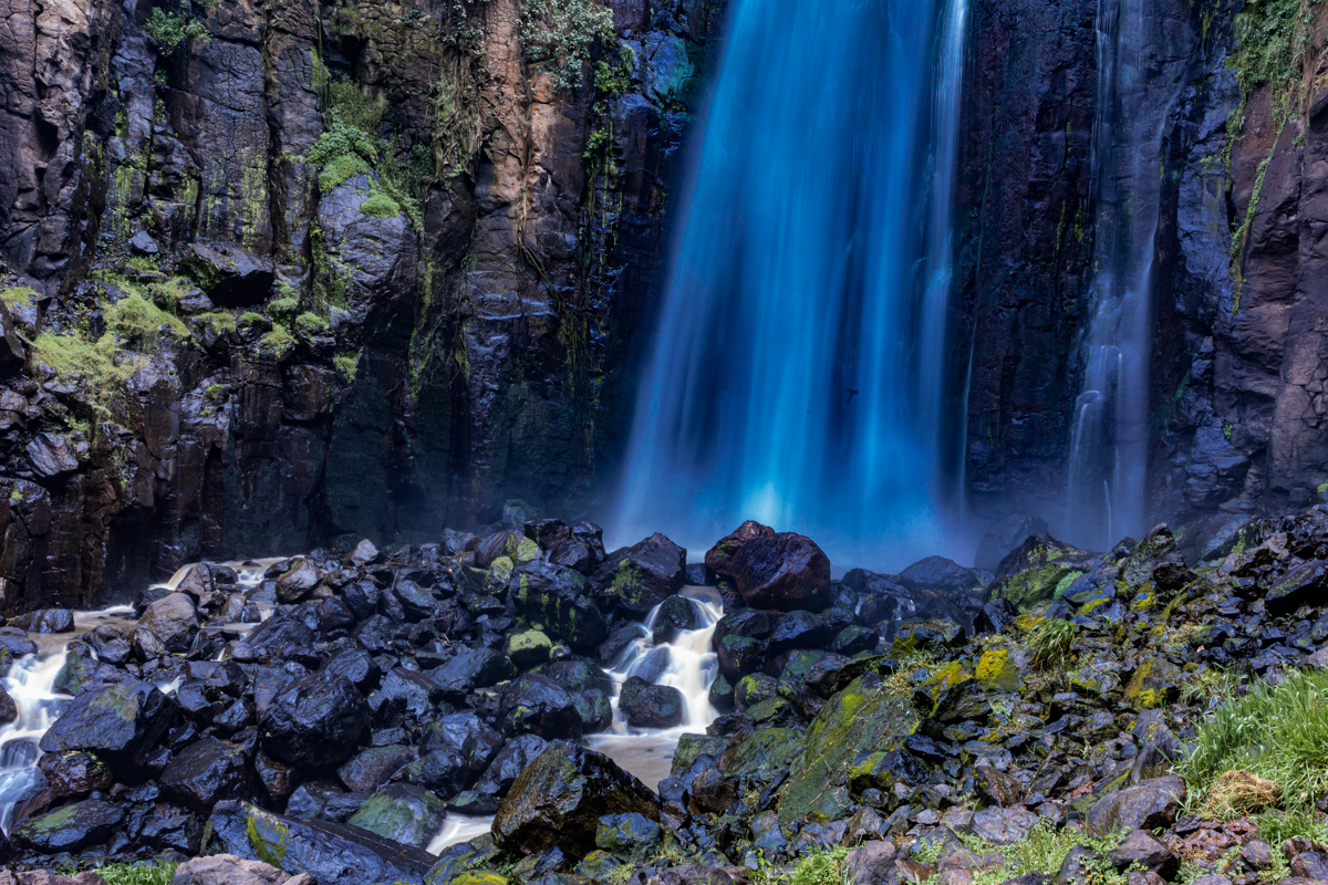
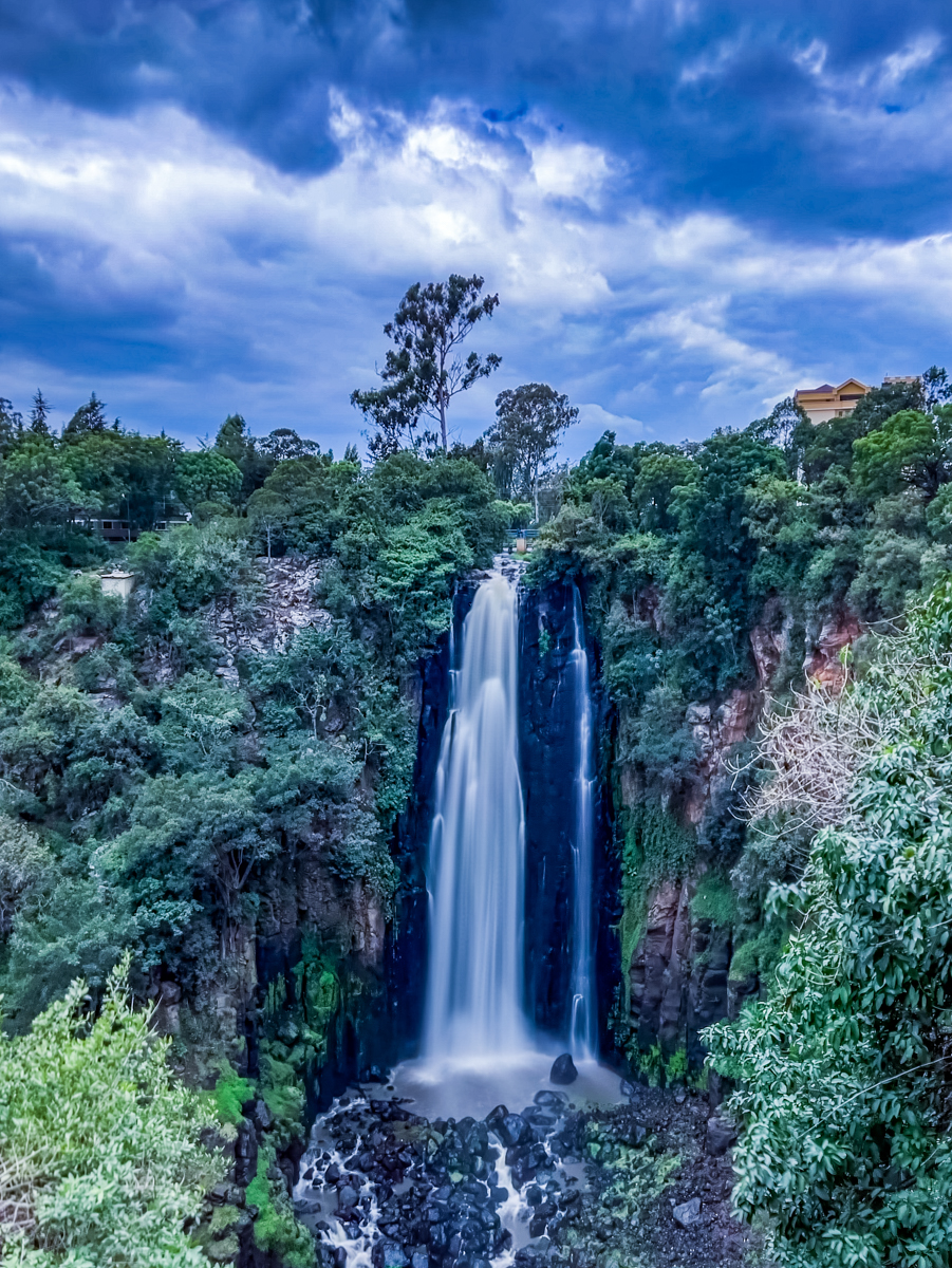
The waterfall creates a strong visual contrast between the moving water, darker rock surfaces and vegetation around the gorge.
Mist and spray can be visible around the falling water, particularly when river discharge is high.
The vegetation around the waterfall reflects the local environmental conditions and the availability of moisture near the river.
However, it is important not to assume that every visible tree or forest patch is indigenous forest. Some areas of the wider landscape have also experienced human modification and plantation forestry.
The surrounding environment should therefore be understood as a combination of natural river-gorge features and a landscape influenced by human land use.
10. What Makes Thomson’s Falls a Tourist Attraction?
Thomson’s Falls is recognised for its waterfall, river gorge and accessibility from Nyahururu town.
Its appeal comes from the combination of natural scenery, geographical interest and historical association.
Visitors may explore the destination for several reasons:
- To observe one of Kenya’s recognisable waterfalls.
- To experience the landscape of the central highlands.
- To photograph the waterfall and surrounding gorge.
- To learn about the Ewaso Narok river system.
- To explore Nyahururu and the wider Laikipia region.
- To include the destination in a wider central Kenya road trip.
The waterfall is an established visitor attraction rather than an isolated wilderness destination.
Visitors should therefore expect some developed infrastructure and other people around the attraction.
The experience can vary depending on visitor numbers, weather, water conditions and the access arrangements in place.
11. What Should Visitors Know Before Visiting Thomson’s Falls?
Thomson’s Falls can be incorporated into a visit to Nyahururu or a wider road journey through central Kenya.
Its proximity to the town makes it possible to visit without requiring an extended expedition.
Before travelling, visitors should consider the following:
Transport: The waterfall is accessible by road from Nyahururu. Travellers arriving from other towns should plan their journey according to road conditions and their chosen route.
Weather: Conditions in the highlands can change. Carry appropriate clothing and be prepared for rain and cooler temperatures.
Footwear: Walking around waterfall environments may involve wet, slippery or uneven surfaces. Appropriate footwear is advisable.
Photography: Visitors interested in photographing the waterfall should allow sufficient time to observe changing light and weather conditions.
Site access: Confirm current entrance fees, opening hours and any applicable visitor requirements with the responsible site management before travelling.
Personal safety: Stay within authorised visitor areas and follow safety instructions.
These practical considerations help visitors prepare without relying on potentially outdated information about charges or opening hours.
12. Is Thomson’s Falls Safe? Important Visitor Safety Information
A waterfall and gorge environment presents natural hazards that visitors should take seriously.
The combination of steep terrain, wet rocks, moving water and exposed edges can create dangerous conditions.
Visitors should not assume that the water below the waterfall is safe for swimming.
The force of falling water, changing river levels, submerged rocks and unpredictable currents can make entering the water hazardous.
For a safer visit:
- Observe the waterfall from designated viewpoints.
- Do not cross safety barriers.
- Avoid climbing on wet rocks.
- Keep children under close supervision.
- Do not approach exposed cliff edges for photographs.
- Avoid entering the river without explicit authorised arrangements.
- Follow instructions from site management.
Photography should never take priority over personal safety.
13. Thomson’s Falls Through the Lens of Landscape Photography
Thomson’s Falls offers several photographic opportunities because of the contrast between water, rock, vegetation and the surrounding gorge.
A wide-angle landscape composition can communicate the scale of the waterfall and its setting.
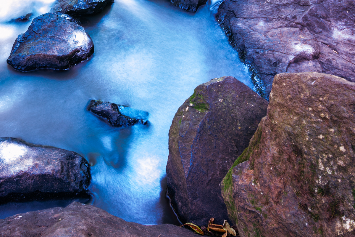
A closer composition can isolate the movement of the water, the texture of the rock face and the details of the surrounding vegetation.
Light conditions can change the appearance of the landscape significantly.
Direct sunlight, cloud cover, mist and shadows all affect contrast, colour and visibility.
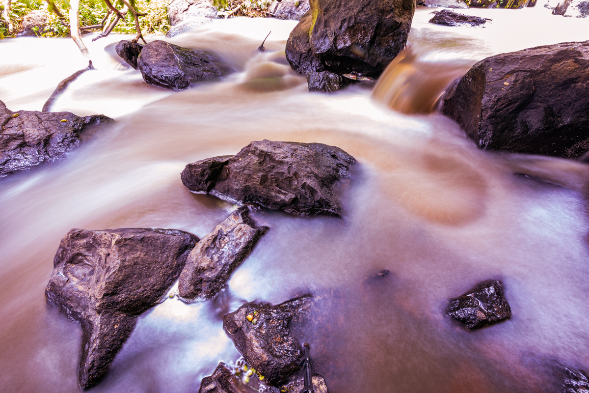
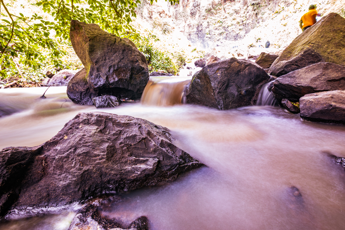
Water movement can also create different photographic effects depending on exposure time.
Photographers should consider the following:
Wide landscape photography: Useful for communicating the waterfall’s scale and its relationship with the gorge.
Long-exposure photography: Can create a smoother representation of moving water, provided the conditions and equipment allow it.
Detail photography: Useful for documenting rock formations, vegetation, water textures and smaller environmental features.
Environmental photography: Places the waterfall within its wider geographical setting rather than treating it as an isolated subject.
For Antony Trivet Photography, documenting Thomson’s Falls is also an opportunity to preserve a visual record of Kenya’s natural landscapes.
14. Other Places to Explore Around Nyahururu and Laikipia
Thomson’s Falls can form part of a broader exploration of the region.
Lake Ol Bolossat, Nyandarua County
Lake Ol Bolossat is an important freshwater lake and wetland associated with the Aberdare highlands.
It is geographically connected to Thomson’s Falls through the Ewaso Narok River system.
The lake is also an important ecological destination, supporting wetland habitats and birdlife.
The Aberdare Range
The Aberdare Range is an important highland landscape in central Kenya.
Its forests, mountain environments and water catchments contribute to the hydrology of neighbouring regions.
Rumuruti, Laikipia County
Rumuruti is the administrative headquarters of Laikipia County.
It is an important commercial centre and a useful reference point for understanding the wider county beyond Nyahururu.
Laikipia’s Wildlife Conservation Landscapes
Laikipia is recognised for its wildlife conservancies, ranches and community conservation initiatives.
These areas demonstrate the relationship between conservation, tourism, livestock production and local livelihoods.
Access arrangements differ between properties, and visitors should confirm permission and booking requirements before travelling.
15. Common Myths and Misconceptions About Thomson’s Falls and Laikipia
Myth 1: Thomson’s Falls is in Nyandarua County.
Fact: Thomson’s Falls is in Nyahururu, Laikipia County. Lake Ol Bolossat, which contributes water to the Ewaso Narok, is in Nyandarua County.
Myth 2: Thomson’s Falls is formed by the Ewaso Ng’iro North directly.
Fact: The Ewaso Narok is the watercourse associated with the waterfall. It contributes to the wider Ewaso Ng’iro North river system downstream.
Myth 3: Joseph Thomson was the first person to know about the waterfall.
Fact: He is the European explorer historically associated with documenting and naming the waterfall in 1883. His expedition does not establish when local communities first knew of it.
Myth 4: Laikipia is entirely desert.
Fact: Laikipia has varied ecological environments, including highland areas, grasslands, agricultural land and semi-arid rangelands.
Myth 5: Lake Ol Bolossat is in Laikipia County.
Fact: The lake is in Nyandarua County.
Myth 6: Thomson’s Falls is always equally powerful throughout the year.
Fact: Water volume and appearance can change with rainfall and river discharge.
Myth 7: The waterfall’s height and Nyahururu’s elevation are the same measurement.
Fact: Waterfall height measures the vertical drop of the water. Town elevation measures the height of a location above sea level.
16. Frequently Asked Questions About Thomson’s Falls, Nyahururu
Where is Thomson’s Falls located?
Thomson’s Falls is located in Nyahururu, Laikipia County, Kenya.
How tall is Thomson’s Falls?
The waterfall is commonly described as approximately 74–75 metres high.
Which river forms Thomson’s Falls?
The Ewaso Narok River is associated with the waterfall.
How far is Thomson’s Falls from Nyahururu town?
The attraction is situated a short distance outside the town centre. Published distances vary according to the starting point and route.
Who named Thomson’s Falls?
Scottish explorer Joseph Thomson named the waterfall after his father during his 1883 expedition.
Is Thomson’s Falls in Laikipia County?
Yes. The waterfall is in Laikipia County.
Is Lake Ol Bolossat in Laikipia?
No. Lake Ol Bolossat is located in Nyandarua County.
Is Thomson’s Falls near the Equator?
Yes. Nyahururu is situated close to the Equator.
Can Thomson’s Falls be visited in one day?
Yes. Its proximity to Nyahururu makes it suitable for a short visit, including as part of a longer road trip.
Can visitors swim at Thomson’s Falls?
Visitors should not assume swimming is allowed or safe. The gorge and river present natural hazards.
What is the best time to photograph Thomson’s Falls?
There is no single universally ideal period. Rainfall, water volume, cloud cover and available light influence the photographic conditions.
Is Thomson’s Falls worth visiting?
For visitors interested in waterfalls, natural landscapes, geography and Kenyan destinations, Thomson’s Falls offers an accessible opportunity to experience an important highland river landscape.
17. Final Perspective: Understanding Thomson’s Falls Beyond the Photograph
Thomson’s Falls is an important natural landmark within Nyahururu and Laikipia County.
Its approximately 74–75-metre descent, association with the Ewaso Narok River and connection to Lake Ol Bolossat make it an interesting geographical feature within Kenya’s central highlands.
Its historical association with Joseph Thomson also provides an opportunity to examine the history of European exploration in East Africa while recognising the importance of local geographical knowledge.
Beyond the waterfall, Laikipia County offers a much wider landscape of highlands, plateaus, agricultural areas, grasslands, ranches and semi-arid environments.
Understanding these geographical differences gives visitors a more accurate picture of the destination and the county in which it is found.
At Antony Trivet Photography, documenting Kenya means looking beyond the photograph to understand the landscape, its history, its geographical identity and the environment that makes each destination distinctive.
Thomson’s Falls is one such destination: a recognisable Kenyan waterfall whose significance extends beyond its visual beauty.
Sources and Further Geographical Reading
The following references provide a starting point for verifying the geographical and environmental information in this article:
- Water Resources Authority – Ewaso Ng’iro North Basin Area: https://wra.go.ke/ewaso-ngiro-north-basin-area/
- Kenya Law – Legal Notice No. 116 of 2023, Lake Ol Bolossat: https://www.kenyalaw.org/kl/fileadmin/pdfdownloads/LegalNotices/2023/LN116_2023.pdf
- County Government of Laikipia – County Integrated Development Plan 2023–2027: https://laikipia.go.ke/documents/laikipia-county-integrated-development-2023-2027/
- Joseph Thomson – Through Masai Land, published in 1887. A historical account of his expedition through East Africa.
Article and photographic documentation: Antony Trivet Photography.